The best walks and hikes around Saint-Martin-De-Salencey
4.7
(122)
382
hikers
76
hikes
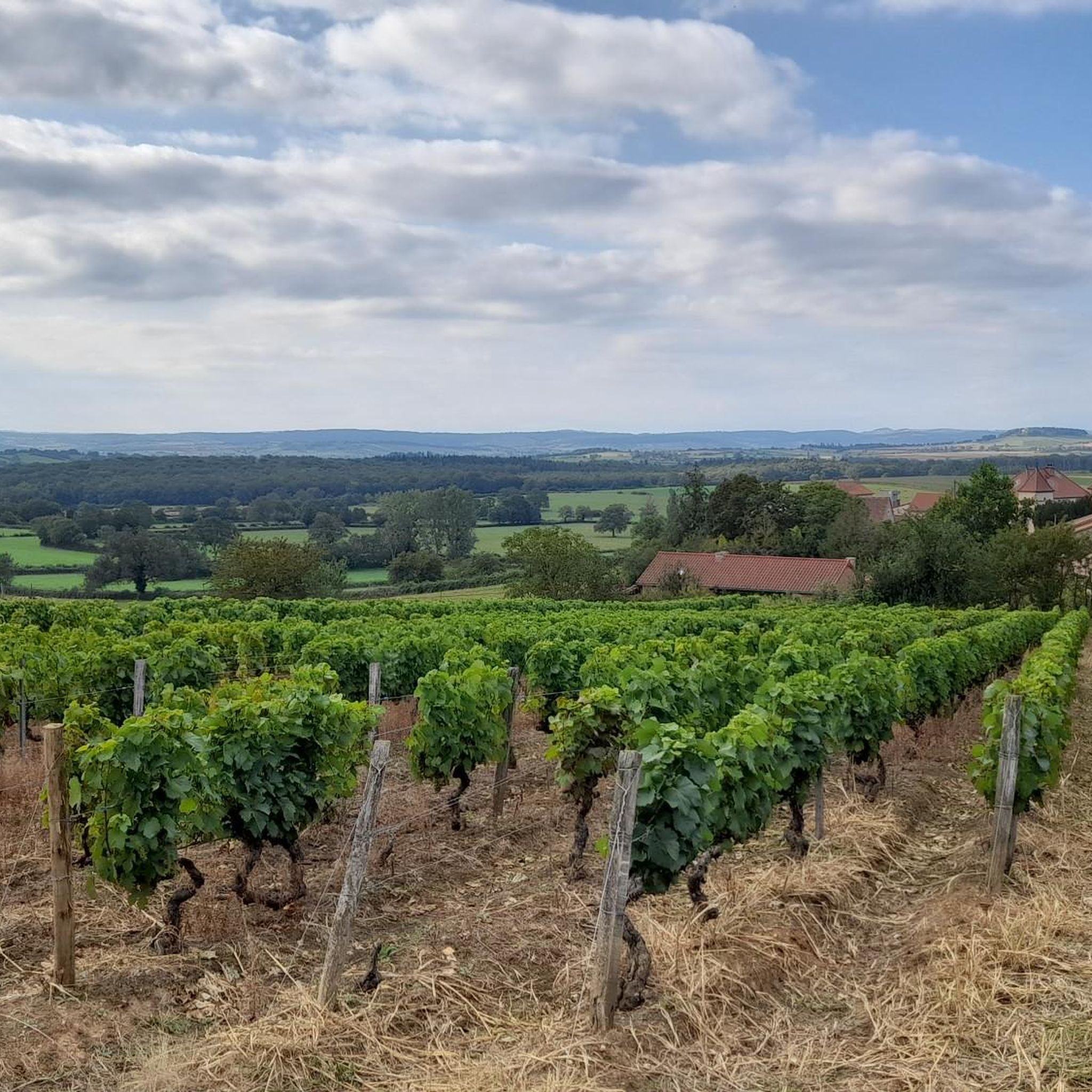
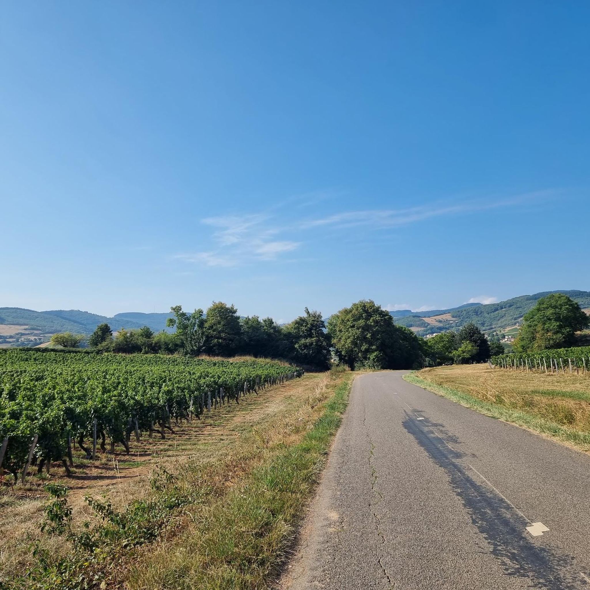
Hiking around Saint-Martin-De-Salencey offers exploration through the Saône-et-Loire department in the Burgundy-Franche-Comté region. The area is characterized by rolling hillsides and extensive forested landscapes, providing a serene backdrop for outdoor activities. The terrain features gently sloping paths and natural beauty spots within the surrounding countryside.
Best hiking trails around Saint-Martin-De-Salencey
- The most popular hiking route is Château de Gros Chigy loop from Saint-André-le-Désert, a 6.5 miles (10.5 km) trail that takes about 2 hours 55 minutes to complete. This…
Last updated: July 11, 2026
5.0
(2)
10
hikers
10.5km
02:55
190m
190m
Moderate hike. Good fitness required. Easily-accessible paths. Suitable for all skill levels.
4.8
(5)
7
hikers
7.01km
02:03
190m
190m
Moderate hike. Good fitness required. Easily-accessible paths. Suitable for all skill levels.

Sign up for free
5.0
(2)
9
hikers
9.30km
02:42
250m
250m
Moderate hike. Good fitness required. Easily-accessible paths. Suitable for all skill levels.
5.0
(2)
8
hikers
5.89km
01:46
190m
190m
Easy hike. Great for any fitness level. Easily-accessible paths. Suitable for all skill levels.
4.5
(4)
11
hikers
14.1km
03:51
210m
210m
Moderate hike. Good fitness required. Easily-accessible paths. Suitable for all skill levels.
Get access to more routes and recommendations from other explorers.
Sign up for free
Already have an account?
Our route recommendations are based on thousands of hikes, rides, and runs completed by other people on komoot.
Start today with a free account
Your next adventure awaits.
Login or Signup


Tips from the Community

The chapel originally dates from the 12th century and was built in the Romanesque style. Due to its historical significance, it has been protected as an official Monument historique (listed building) in France since 1971. It stands elevated on a hill and offers a wide view of the Charolais landscape.
0
0
The information board describes the village of Salornay as a crossroads between the historical landscapes of Chalonnais, Charolais, and Clunisois at the confluence of the rivers Gande and Guye. The viewpoint is located above the valley on the edge of a wooded ridge, more specifically on the nature trail of the Bois de la Roche. From there, you have a wide view over the valley, characterized by a hedgerow landscape.
0
0
The current complex was built in the 15th century, after a predecessor had been destroyed on the orders of the French king. The irregular quadrilateral encloses a central courtyard. The striking north entrance, visible in the picture, is flanked by two mighty round towers equipped with gun loops (archères-canonniers) and was formerly protected by a drawbridge. The complex has been a listed Monument historique since 1967. Parts of the castle have been restored and are privately used as a charming guest house (Le Gros Chigy Château) for travellers in Burgundy.
1
0

It was built in the 15th century after the destruction of a first castle on the orders of the King of France, who belonged to the Mâcon region, and who was fighting against the Duke of Burgundy. Located on the hillside, between two hamlets, it is a castle whose buildings are grouped together and form a quadrilateral around a central courtyard. The entrance is framed by two round towers pierced by archers, and was formerly equipped with a drawbridge. It will serve as a hotel, the guest rooms are almost finished.
1
0
Frequently Asked Questions
What types of hiking trails can I find around Saint-Martin-De-Salencey?
The area around Saint-Martin-De-Salencey offers a diverse range of hiking trails, from easy walks to more moderate routes. You'll find paths winding through rolling hillsides, extensive forested landscapes, and open countryside, catering to various fitness levels. There are 25 easy routes, 49 moderate routes, and 3 difficult routes available.
Are there any notable landmarks or natural features to see while hiking in the region?
Yes, the region is rich in natural beauty and historical sites. You can explore the characteristic rolling hills and forests. Specific landmarks include the historic Château de Gros Chigy and La Serrée Castle. You might also encounter the Saint-Hippolyte Church Ruins or reach the Suin Hill for panoramic views.
What do other hikers enjoy most about the trails around Saint-Martin-De-Salencey?
The trails around Saint-Martin-De-Salencey are highly rated by the komoot community, with an average score of 4.7 stars from over 100 reviews. Hikers frequently praise the serene forested paths, the picturesque rolling hills, and the overall natural immersion offered by the routes.
Are there any circular hiking routes available?
Yes, many of the trails in the Saint-Martin-De-Salencey area are designed as loops, offering convenient circular walks. For example, the Saint-Quentin Chapel loop from Saint-Marcelin-de-Cray is a moderate 9.3 km route, and the Saint-Quentin Chapel loop from Chapelle de Saint-Quentin is an easier 5.9 km option.
What is the best time of year to go hiking in Saint-Martin-De-Salencey?
The region's rolling hills and forested landscapes make it enjoyable for hiking throughout much of the year. Spring and autumn offer pleasant temperatures and beautiful scenery with blooming flowers or vibrant foliage. Summer is also suitable, especially for shaded forest paths, while winter can provide a different, tranquil experience, though some paths might be muddy or require appropriate gear.
Are there family-friendly hiking options in Saint-Martin-De-Salencey?
Yes, there are several easy routes suitable for families. The Saint-Quentin Chapel loop from Chapelle de Saint-Quentin is an easy 5.9 km trail through forested areas, often completed in under two hours, making it a good choice for families with children.
Are dogs allowed on the hiking trails?
While specific regulations can vary, generally, dogs are welcome on many hiking trails in rural French areas like Saint-Martin-De-Salencey, especially if kept on a leash. It's always advisable to check local signage at trailheads for any specific restrictions or requirements regarding pets.
Is parking available at the trailheads?
While specific parking information for every trailhead isn't detailed, the presence of various loop trails originating from villages like Saint-André-le-Désert, Saint-Marcelin-de-Cray, and Sigy-le-Châtel suggests that parking facilities are generally available in or near these starting points. Many rural trailheads in France offer informal or designated parking areas.
How long do the hikes typically take in this area?
Hiking durations vary depending on the route and your pace. For instance, the popular Château de Gros Chigy loop from Saint-André-le-Désert, which is 10.5 km, typically takes about 2 hours and 55 minutes. Shorter, easy routes like the Saint-Quentin Chapel loop from Chapelle de Saint-Quentin can be completed in under 2 hours.
What is the terrain like on the hiking trails around Saint-Martin-De-Salencey?
The terrain is characterized by gently sloping paths, rolling hills, and forested areas. You can expect a mix of natural earth paths, some gravel sections, and potentially some paved stretches through villages. The region's geology means you'll encounter varied surfaces, but generally, paths are accessible and well-suited for hiking.
Are there any longer or more challenging hikes for experienced hikers?
While the majority of routes are easy to moderate, there are a few more challenging options. The region offers 3 routes classified as difficult. For example, the Bierre Village – Church of Sigy-le-Châtel loop from Sigy-le-Châtel is a moderate 12.3 km hike with over 300 meters of elevation gain, offering a good workout for those seeking a longer adventure.
Most popular routes around Saint-Martin-De-Salencey
Most popular attractions around Saint-Martin-De-Salencey

Get inspired with the komoot mobile app


Explore more
Browse the best Hikes in other regions.
