The best MTB trails around Adamsweiler
4.3
(196)
935
riders
63
rides
Mountain biking around Adamsweiler features a landscape characterized by dense woodlands, varied elevations, and natural rock formations. The region offers a mix of forest descents and climbs, with routes often leading through historical sites and alongside water features. This terrain provides diverse conditions for mountain bikers, from rolling paths to more challenging ascents. The area's natural environment makes it suitable for exploring on two wheels.
Best mountain bike trails around Adamsweiler
- The most popular mountain bike trail is Forest descent…
Last updated: June 22, 2026
4.2
(5)
37
riders
42.5km
03:59
870m
870m
Moderate mountain bike ride. Good fitness required. Advanced riding skills necessary.
4.8
(9)
29
riders
38.4km
03:25
610m
610m
Moderate mountain bike ride. Good fitness required. Advanced riding skills necessary.

Sign up for free
4.8
(4)
10
riders
26.7km
02:14
410m
410m
Moderate mountain bike ride. Good fitness required. Suitable for all skill levels.
4.3
(3)
11
riders
25.3km
01:51
300m
300m
Easy mountain bike ride. Great for any fitness level. Suitable for all skill levels.
4.0
(3)
46
riders
46.2km
04:17
870m
870m
Moderate mountain bike ride. Good fitness required. Advanced riding skills necessary.
Get access to more routes and recommendations from other explorers.
Sign up for free
Already have an account?
Our route recommendations are based on thousands of hikes, rides, and runs completed by other people on komoot.
Start today with a free account
Your next adventure awaits.
Login or Signup
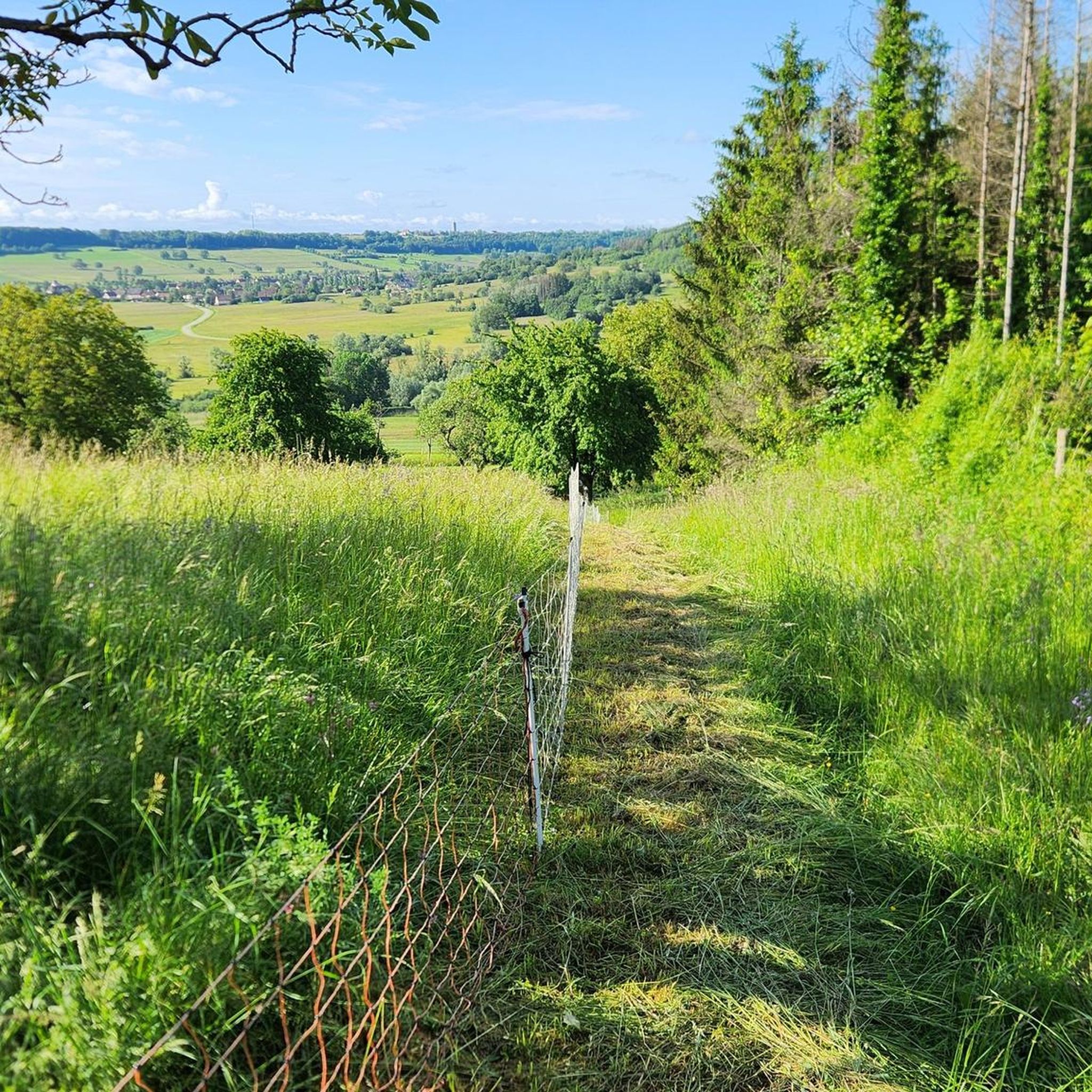
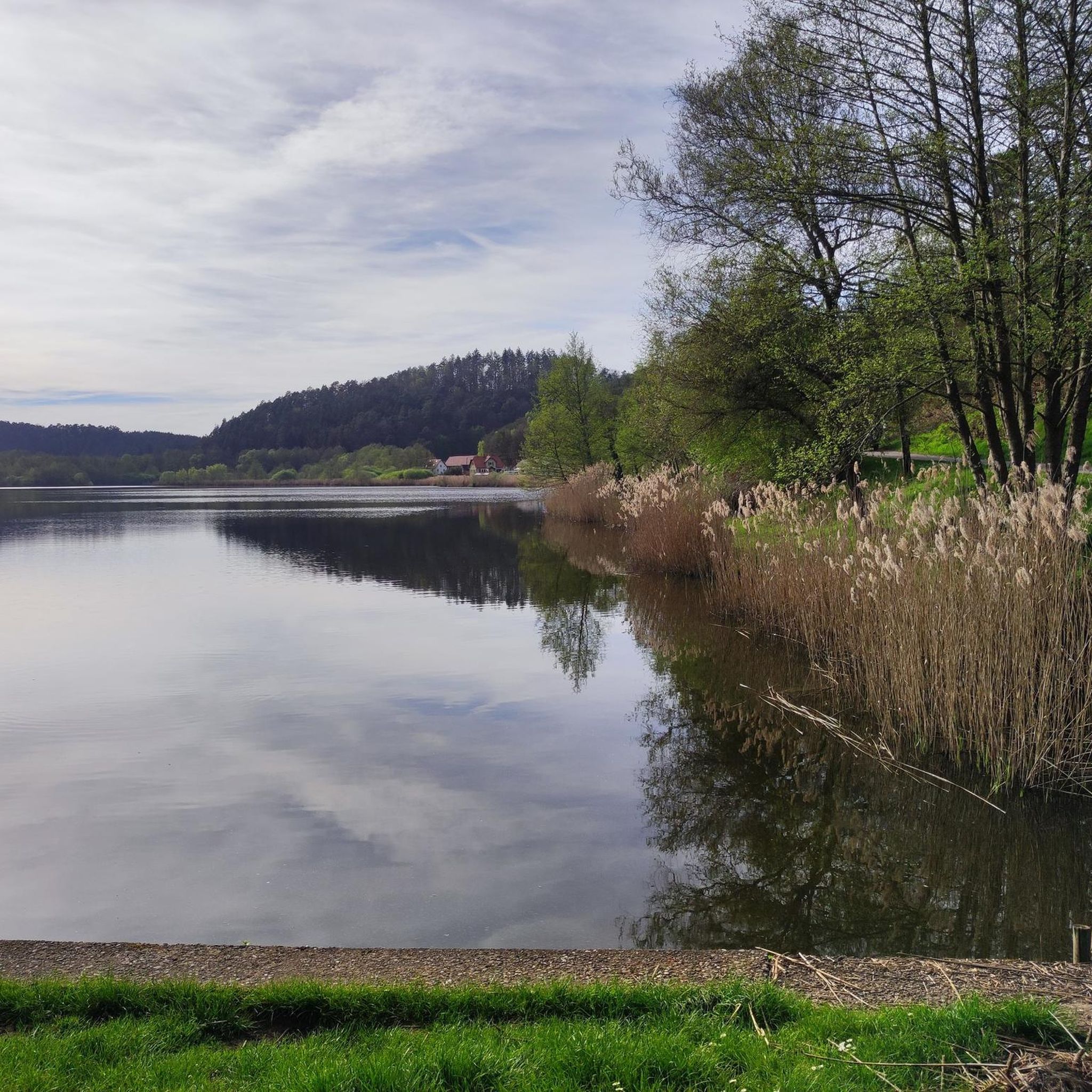
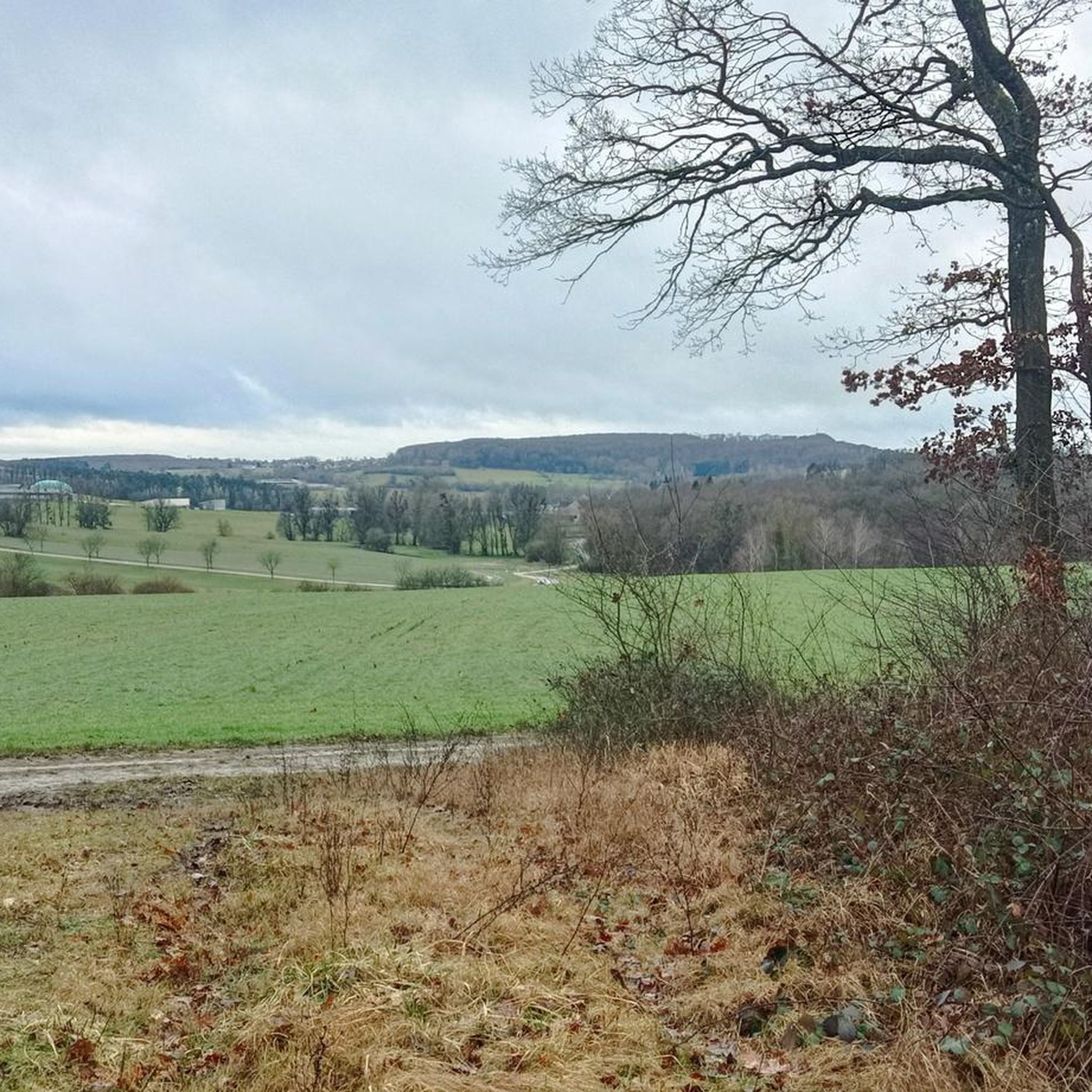
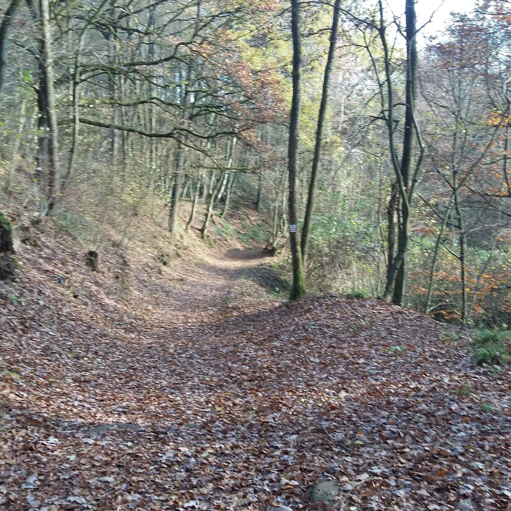

Tips from the Community

Shelter and picnic area at La Petite Pierre; orientation point
0
0

Accessible from various directions and/or accessible as a circular walk. The walk up the mountain is quite long.
0
0

A secluded pond in the forest, located on the beautiful forest road from Eschbourg to Frohmuhl. There's only one educational facility here, but otherwise no infrastructure, just plenty of idyllic forest scenery.
0
0

Beautifully situated and very well-maintained, it offers seating and bicycle parking. You can also light a votive candle.
0
0


At the end of the trail there is a forester’s house
0
0
Frequently Asked Questions
How many mountain bike trails are available around Adamsweiler?
There are over 50 mountain bike trails around Adamsweiler, offering a wide range of options for different skill levels. This includes 8 easy routes, 34 moderate routes, and 11 difficult routes.
Are there any easy or beginner-friendly mountain bike trails in Adamsweiler?
Yes, Adamsweiler offers 8 easy mountain bike routes suitable for beginners or those looking for a more relaxed ride. These trails navigate through the region's dense woodlands and varied terrain without overly challenging ascents or descents.
What are some challenging mountain bike trails for advanced riders in Adamsweiler?
For advanced riders seeking a challenge, Adamsweiler features 11 difficult mountain bike trails. One such demanding route is the Grotte d'Amour Rock Formation – Château de Hunebourg loop from Tieffenbach - Struth, which covers 50 km with significant elevation changes.
What is the best time of year for mountain biking in Adamsweiler?
The region's dense woodlands and varied elevations make it suitable for mountain biking through much of the year. Spring and autumn offer pleasant temperatures and vibrant scenery. While winter riding is possible, conditions can be more challenging due to potential snow or ice, especially on higher elevations or shaded forest paths.
Are there mountain bike trails in Adamsweiler that are suitable for families?
While specific 'family-friendly' designations are not always clear-cut, the 8 easy routes available in Adamsweiler are generally suitable for families with some biking experience. These trails typically feature less challenging terrain and shorter distances, allowing for a more enjoyable outing with children.
What kind of scenery can I expect on mountain bike trails around Adamsweiler?
Mountain bike trails around Adamsweiler are characterized by dense woodlands, varied elevations, and natural rock formations. You'll often find routes leading through historical sites and alongside water features, offering a mix of natural beauty and cultural interest.
Are there any circular mountain bike routes in Adamsweiler?
Yes, many of the mountain bike trails in Adamsweiler are designed as loops. For example, the Dreipeterstein – Heidenkirch loop from Waldhambach is a popular moderate circular route covering 38.3 km, navigating through varied landscapes and connecting historical and natural points of interest.
What do other mountain bikers say about the trails in Adamsweiler?
The mountain bike trails in Adamsweiler are highly rated by the komoot community, with an average score of 4.3 stars from over 235 reviews. Riders often praise the diverse terrain, the beauty of the dense woodlands, and the well-maintained paths that cater to various skill levels.
Are there any notable landmarks or attractions along the mountain bike routes?
Yes, the region offers several interesting landmarks. You might encounter historical sites like the Graufthal Troglodyte Houses or natural features such as the Rocher du Corbeau. Some routes also pass through charming settlements like La Petite-Pierre.
How long do mountain bike trails typically take to complete in Adamsweiler?
Trail durations vary significantly based on distance and difficulty. For instance, a moderate route like the Shelter – Étang Lafosse loop from Tieffenbach - Struth (34.9 km) typically takes around 2 hours 56 minutes, while longer, more difficult trails can take over 4 hours.
Are there options for mountain biking near cafes or places to rest in Adamsweiler?
While specific cafes directly on every trail are not guaranteed, many routes pass through or near villages and settlements where you can find places to rest and refuel. Planning your route in advance allows you to identify such spots, especially in areas like La Petite-Pierre or Graufthal.
What is the typical elevation gain on mountain bike trails in Adamsweiler?
The trails in Adamsweiler feature varied elevations. Moderate routes can have elevation gains ranging from around 400 meters to over 800 meters. For example, the Forest descent Petite-Pierre – Paiens Rocks loop from Tieffenbach - Struth involves an ascent of approximately 867 meters.
Most popular routes around Adamsweiler
Most popular attractions around Adamsweiler

Get inspired with the komoot mobile app


Explore more
Browse the best MTB trails in other regions.
