The best road cycling routes around Labeuvrière
4.3
(170)
7,662
riders
703
rides
Road cycling around Labeuvrière features a landscape characterized by gentle rolling terrain and river valleys. The region includes a network of roads passing through agricultural areas, alongside canals, and near historical structures like watermills and keeps. Elevation changes are generally moderate, with some routes offering sustained climbs, but no significant mountain passes.
Best road cycling routes around Labeuvrière
- The most popular road cycling route is Béthune – Saint-Venant Watermill loop from Fouquereuil, a 47.9 miles (77.1 km) trail that…
Last updated: July 5, 2026
3.8
(6)
171
riders
78.2km
03:30
210m
210m
Moderate road ride. Good fitness required. Mostly well-paved surfaces and easy to ride.
3.2
(5)
99
riders
48.3km
02:17
520m
520m
Moderate road ride. Good fitness required. Some segments of this route may be unpaved and difficult to ride.

Sign up for free
114
riders
70.5km
03:05
530m
530m
Moderate road ride. Good fitness required. Some segments of this route may be unpaved and difficult to ride.
99
riders
107km
04:33
740m
740m
Moderate road ride. Good fitness required. Mostly well-paved surfaces and easy to ride.
88
riders
104km
04:27
630m
630m
Moderate road ride. Good fitness required. Mostly well-paved surfaces and easy to ride.
Get access to more routes and recommendations from other explorers.
Sign up for free
Already have an account?
Our route recommendations are based on thousands of hikes, rides, and runs completed by other people on komoot.
Start today with a free account
Your next adventure awaits.
Login or Signup
Tips from the Community

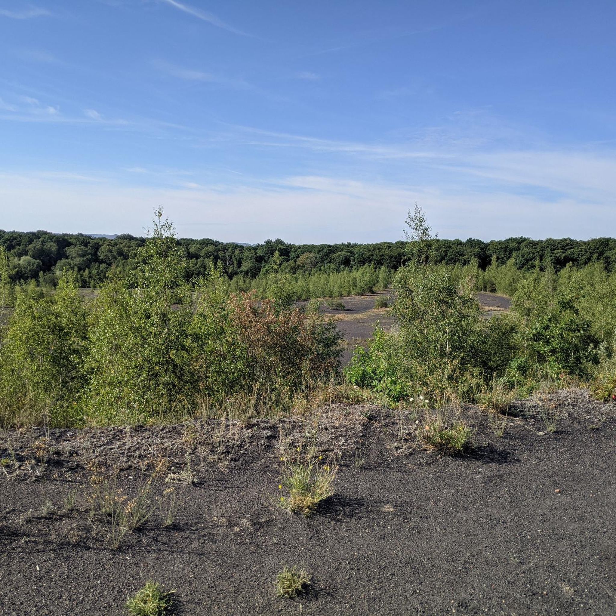
The source of the Leie (French: la source de la Lys) is located in the small French village of Lisbourg, situated in the Pas-de-Calais department in the Hauts-de-France region. The river originates here at an altitude of approximately 115 meters and flows via Aire-sur-la-Lys towards Belgium, eventually flowing into the Scheldt in Ghent after approximately 202 kilometers.
0
0

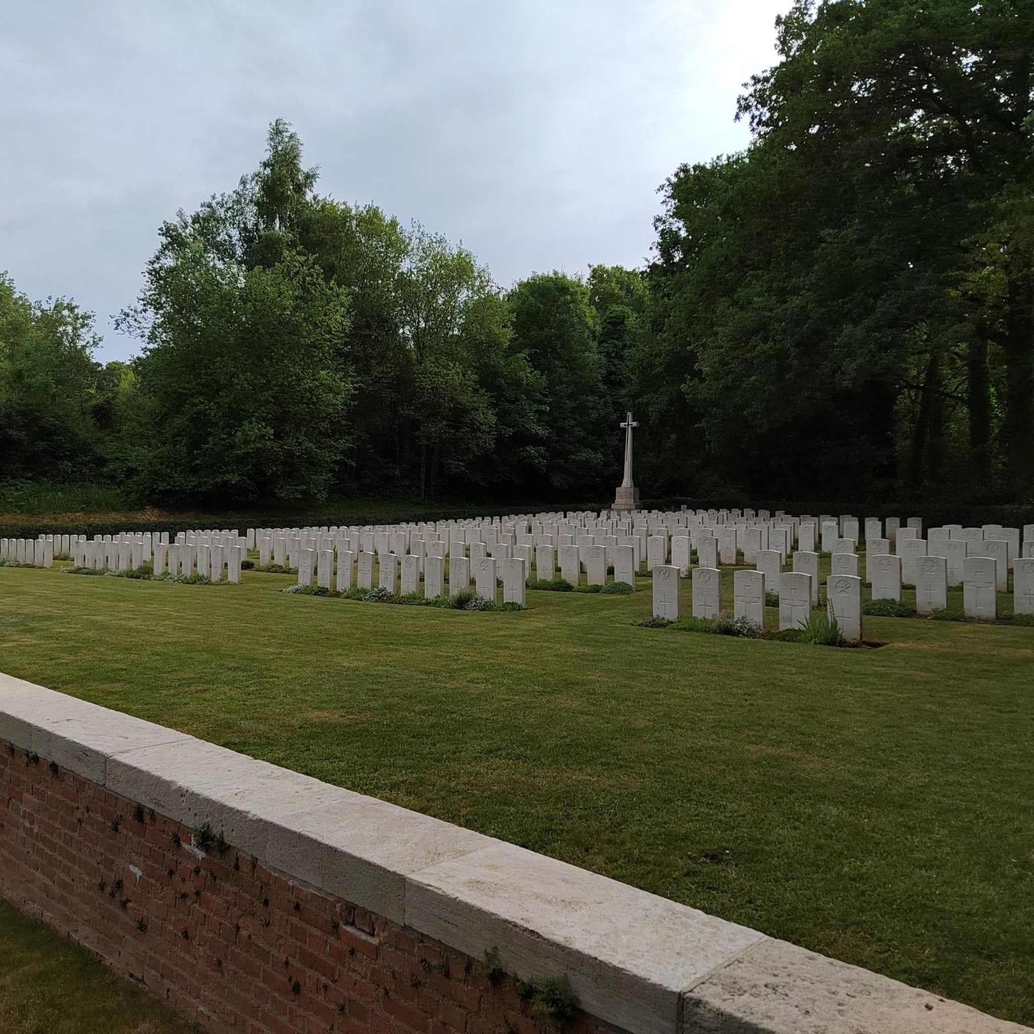
The Bornes Vauthier are a series of sculptures created in the 1920s by the artist Paul Moreau-Vauthier to mark the front line of the First World War. They are located in Belgium and France and are one of the routes set up to keep the memory of the war alive. The Bornes Vauthier consist of a series of granite monoliths marking the front line as it was in July 1918, during one of the last Allied offensives. A total of 240 Bornes Vauthier are planned, from the North Sea to the Swiss border, between Nieuwpoort in Belgium and Mooslargue near Altkirch/Belfort on the Franco-Swiss border.
7
0

In the main square opposite the Belfry. The widest range of pastries you can wish for.
0
0

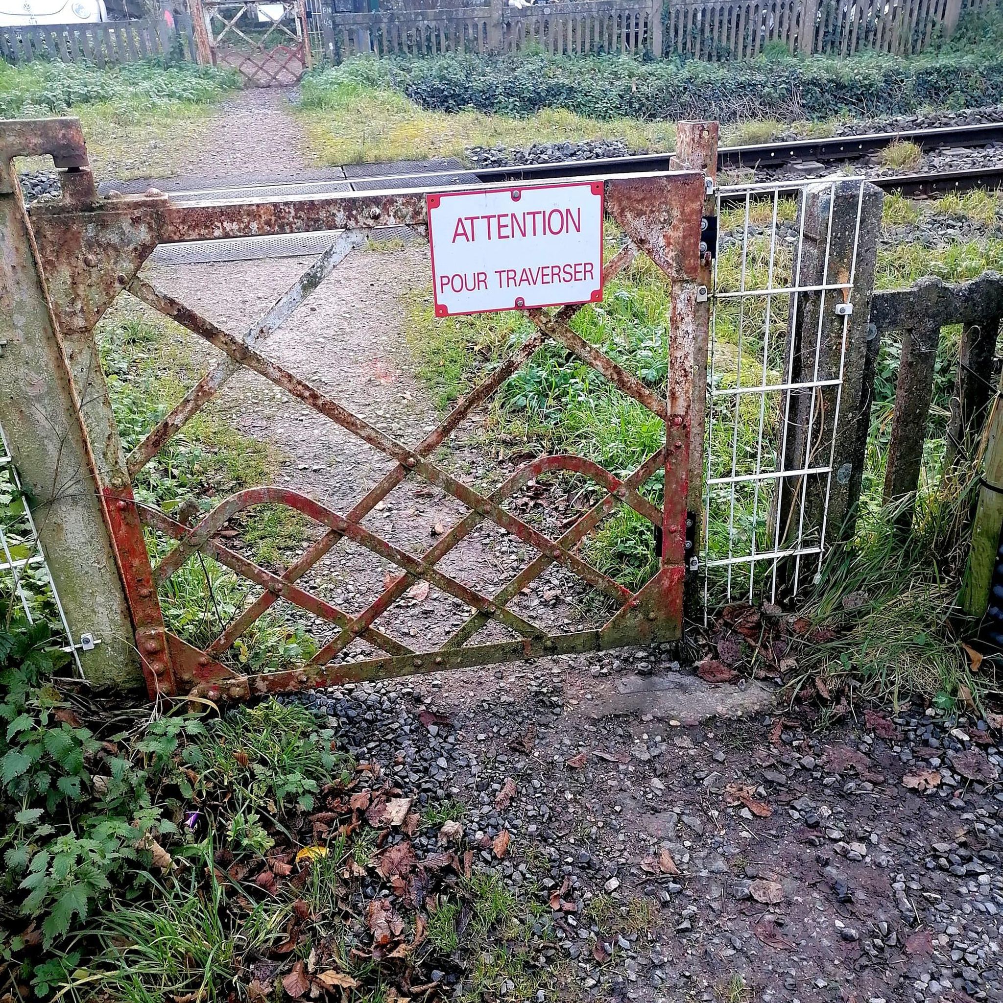
it's written like that on the sign
0
0
legend of the fairies who dance around the dolmen
0
0

Very nice little hillside street
0
0

A playful adventure trail for young and old.
1
0
The castle has been preserved in its original plans. It was built in the Middle Ages (13th and 15th centuries). It is an example of a fortified castle from the plains of Northern Europe. A walk along the “Moats” and an interior visit to the chapel, the vaulted cellars and the floors of the keep are recommended. Enjoy a distant past in the present.
2
0
Frequently Asked Questions
How many road cycling routes are available around Labeuvrière?
There are over 700 road cycling routes available around Labeuvrière, offering a wide range of options for different skill levels and preferences.
What kind of terrain can I expect when road cycling in Labeuvrière?
Road cycling around Labeuvrière features a landscape characterized by gentle rolling terrain and river valleys. You'll find routes passing through agricultural areas, alongside canals, and near historical structures. Elevation changes are generally moderate, with some routes offering sustained climbs but no significant mountain passes.
Are there road cycling routes suitable for beginners in Labeuvrière?
Yes, Labeuvrière offers a good selection of routes suitable for beginners. Out of over 700 routes, approximately 160 are classified as easy, providing a gentle introduction to road cycling in the region.
What are some of the more challenging road cycling routes in Labeuvrière?
For those seeking a challenge, routes like the Béthune – Bours Keep loop from Fouquereuil offer a longer distance of 66.3 miles (106.7 km) and significant elevation gain, making it a moderate to advanced option. Another route with notable ascents is the Fresnicourt coast – Olhain Castle loop from Fouquereuil, which covers 32.6 miles (52.5 km) with over 540 meters of ascent.
Are there any scenic viewpoints or natural attractions along the road cycling routes?
Yes, several routes pass by scenic spots and natural attractions. You might encounter viewpoints like Terril Number 5 of Lapugnoy or View of the Terrils du Pays à Part. Natural areas such as Vallée Carreau Park and Lac de Beugin are also accessible.
Can I find routes that pass by historical sites or landmarks?
Absolutely. The region is rich in history. For instance, the Fresnicourt coast – Olhain Castle loop from Fouquereuil takes you past Olhain Castle. Other routes may lead you near historical structures like watermills and keeps, or even the Robecq Church.
Are there any road cycling routes that feature waterfalls?
Yes, you can find routes that include waterfalls. The Canal in Busnes – Waterfall of Nave river in Bourecq loop from Fouquereuil is a 48.2-mile (77.6 km) route that specifically highlights the Waterfall of Nave river in Bourecq.
What do other road cyclists enjoy most about road cycling in Labeuvrière?
The area is highly rated by the komoot community, with an average score of 4.3 stars from over 190 reviews. Road cyclists often praise the varied terrain, the charming routes along canals and through agricultural plains, and the historical points of interest like watermills and keeps that dot the landscape.
Are there many loop road bike trails in Labeuvrière?
Many of the road cycling routes in Labeuvrière are designed as loops, offering convenient starting and ending points. Examples include the popular Béthune – Saint-Venant Watermill loop from Fouquereuil and the Clocher de Verchin – Waterfall of Nave river in Bourecq loop from Fouquereuil.
What is the best season for road biking in Labeuvrière?
While road cycling is possible year-round, the spring and autumn months generally offer the most pleasant conditions with milder temperatures and beautiful scenery. Summer can also be excellent, though it's advisable to start earlier in the day to avoid the midday heat.
Are there places to stop for refreshments or cafes along the routes?
Many routes pass through or near small towns and villages where you can find local cafes, bakeries, or small shops to refuel. It's always a good idea to check the route details on komoot or plan your stops in advance, especially on longer rides.
Is parking available at the trailheads for road cycling routes?
While specific parking information varies by trailhead, many starting points in and around Labeuvrière, especially in larger towns like Fouquereuil, offer public parking options. It's recommended to check the route's starting location on komoot for more precise parking details.
Most popular routes around Labeuvrière
Most popular attractions around Labeuvrière

Get inspired with the komoot mobile app


Explore more
Browse the best Road cycling routes in other regions.
