The best road cycling routes around Mont-Saint-Éloi
4.3
(399)
7,092
riders
615
rides
Road cycling around Mont-Saint-Éloi offers diverse terrain characterized by distinctive hilly landscapes and expansive panoramic views. The region, part of the "Hills of Artois," features challenging ascents and descents suitable for various fitness levels. Cyclists can navigate well-paved roads that wind through woodlands and offer vistas over the Scarpe Valley and the Artois plain. The area's topography provides a rewarding experience for road cyclists.
Best road cycling routes around Mont-Saint-Éloi
- The most popular road cycling route is Circuit des Hauts-Lieux…
Last updated: October 13, 2026
4.4
(7)
58
riders
29.5km
01:27
300m
300m
Moderate road ride. Good fitness required. Mostly well-paved surfaces and easy to ride.
4.3
(9)
154
riders
53.6km
02:06
210m
210m
Moderate road ride. Good fitness required. Mostly well-paved surfaces and easy to ride.

4.3
(3)
22
riders
69.5km
03:05
450m
450m
Moderate road ride. Good fitness required. Mostly well-paved surfaces and easy to ride.
4.3
(3)
30
riders
45.9km
02:02
330m
330m
Moderate road ride. Good fitness required. Mostly well-paved surfaces and easy to ride.
5.0
(2)
52
riders
Moderate road ride. Good fitness required. Some segments of this route may be unpaved and difficult to ride.
Get access to more routes and recommendations from other explorers.
Already have an account?
Our route recommendations are based on thousands of hikes, rides, and runs completed by other people on komoot.
Start today with a free account
Your next adventure awaits.
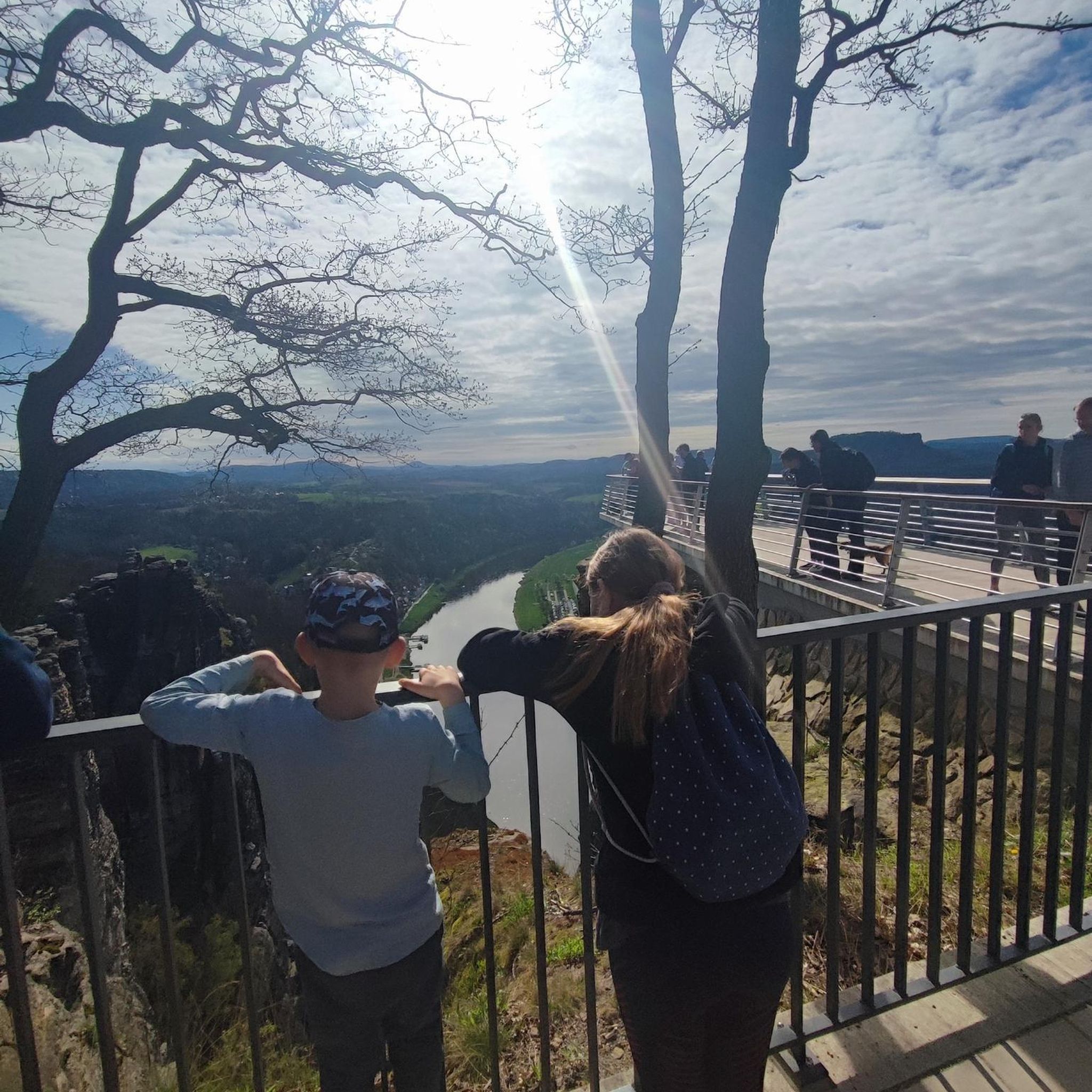
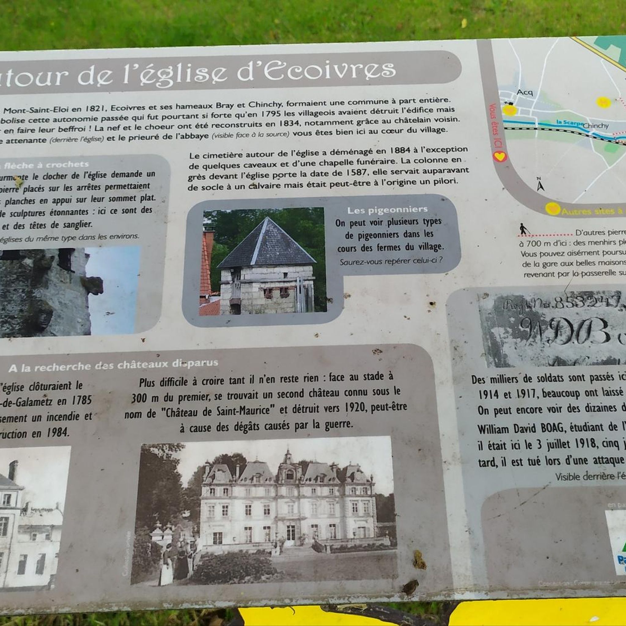
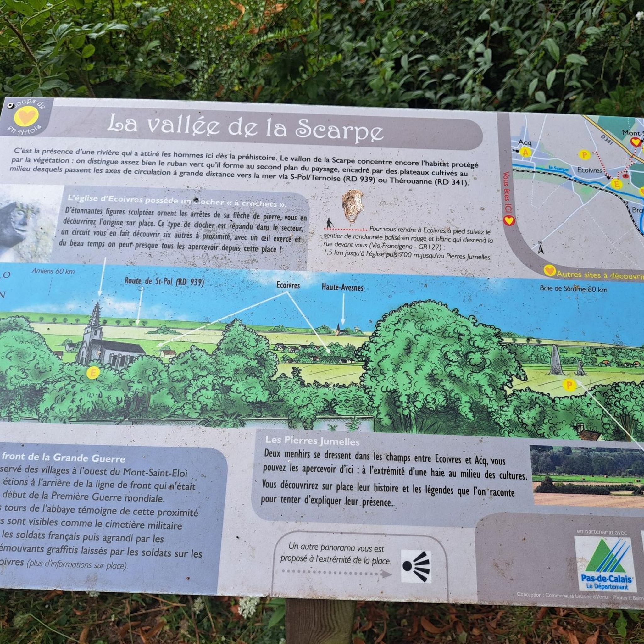
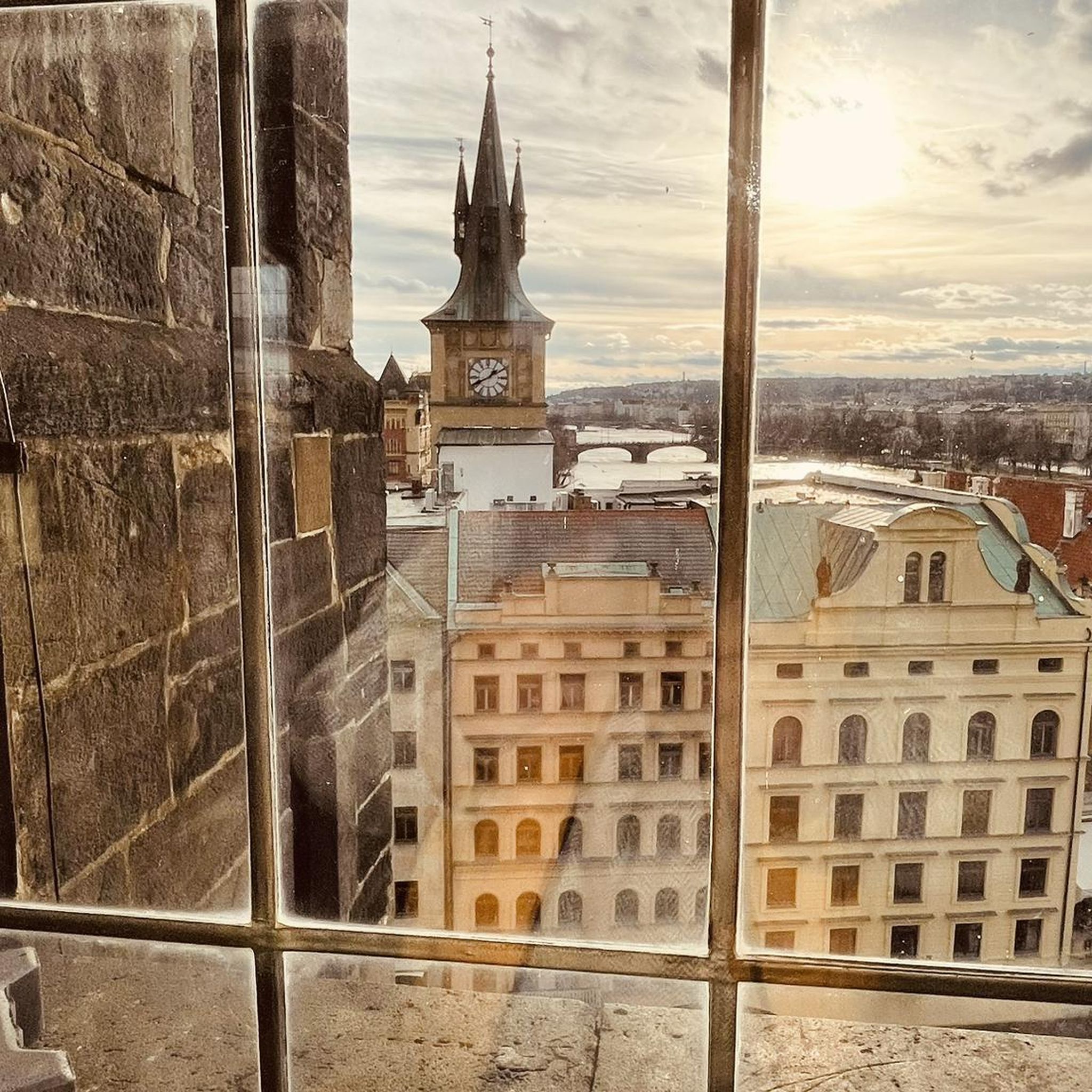
Tips from the Community

Well-preserved space. The rampart tour is worth the detour. There is even a shelter for bike parking.
0
0
A memorial that should not be missed
0
0

Mont César rises to a height of 138 meters on the left bank of the Thérain River, near the hamlet of Froidmont, in the municipality of Bailleul-sur-Thérain, in the Oise department. The hill, which overlooks the valley and surrounding marshes, has been inhabited since the Bronze Age and was likely a Gallo-Roman oppidum on an ancient, fortified Gallic camp. Archaeological excavations carried out since the 18th century have unearthed numerous objects and remains of fortifications. During excavations conducted in 1878 by Isidore Berton, Gallic coins and various objects from the Roman period were discovered. Want to know more? Click through to the source: https://fr.wikipedia.org/wiki/Mont_C%C3%A9sar
0
0


Bois-carré British Cemetery: This cemetery was established in April 1917 by units of the 1st Canadian Division, during the Battle of Vimy Ridge. After the Armistice, it was expanded to accommodate graves from the surrounding battlefields. Bois-carré British Cemetery contains 506 graves, including 382 of Canadian combatants and three Native American soldiers who could not be buried according to their tribal rites. On either side of the cross bearing the Sword of Sacrifice, stand two columns beneath which are grouped the remains of bodies previously buried and then exhumed by bombing raids. At the beginning of the Second World War, the cemetery was used by the 8th Casualty Clearing Station.
0
0
Zivy Crater: You are here in the center of what was once the no man's land between the trenches from which the assault of April 9, 1917, began. Fifty-three soldiers, including 50 Canadian nationals, are buried there. The same exceptional design as Lichfield Crater.
0
0


The Canadian National Vimy Memorial (Vimy, Pas-de-Calais department) is a memorial dedicated to those who were missing or killed in World War I in the Canadian Expeditionary Force. The monument is located on the site of a well-preserved or partially reconstructed battlefield, including trenches and tunnels. Guided tours are offered in French and English, there are several memorials, a permanent and a temporary exhibition, a museum shop and a marked hiking trail that conveys the history of the site.
0
0
Frequently Asked Questions
What kind of terrain can I expect when road cycling around Mont-Saint-Éloi?
The region is known for its distinctive hilly landscapes, offering a challenging yet rewarding experience for road cyclists. You'll encounter steep paths and hills, with the highest point reaching 136 meters. While most surfaces are well-paved, some segments may be unpaved, adding variety to your ride. These challenging ascents and descents are characteristic of the "Hills of Artois".
Are there road cycling routes suitable for beginners or those looking for an easier ride?
Yes, Mont-Saint-Éloi offers a range of routes for various skill levels. While the region is known for its challenging topography, there are easier options available. For example, the Ruins of Mont-Saint-Eloi Abbey – Abbey of Mont Saint-Éloi loop from Marœuil is an easy 42.1 km route that still allows you to experience the area's beauty.
What historical landmarks can I see along the road cycling routes?
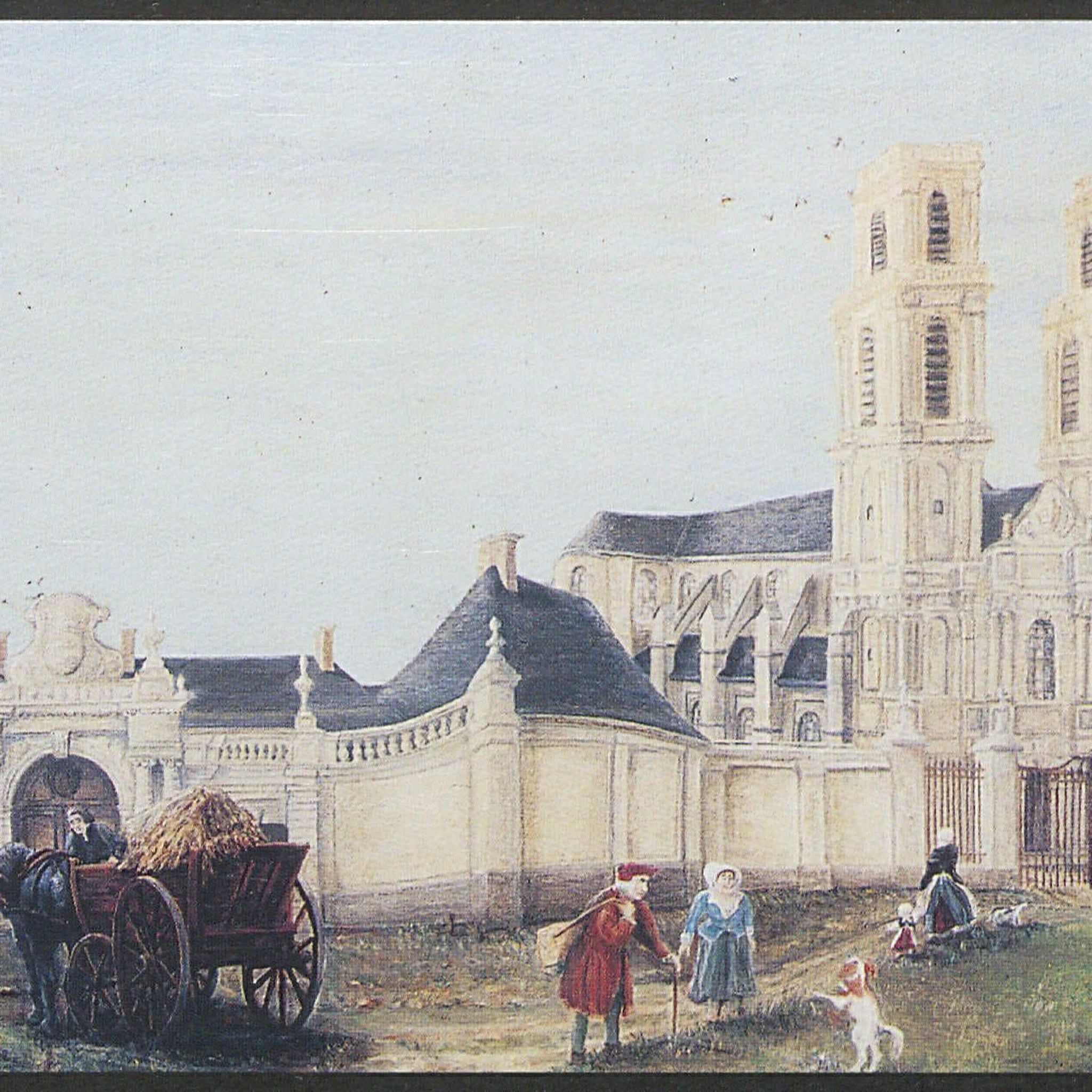
Mont-Saint-Éloi is rich in history. You can cycle past the iconic Abbey Ruins, which served as a strategic observation post during World War I. The area also features sites related to the Great War, such as the Canadian National Vimy Memorial and the Notre-Dame-de-Lorette National Cemetery. The Circuit des Hauts-Lieux de la Grande Guerre en Artois specifically explores historical sites.
Are there any routes that offer panoramic views?
Absolutely. From its elevated position, Mont-Saint-Éloi provides splendid panoramic views over the entire Scarpe Valley and the Artois plain. Many routes wind through the hilly landscapes, offering numerous opportunities to enjoy these expansive vistas.
What natural features can I discover while cycling in the region?
Beyond the scenic views, you'll find diverse natural environments. The area is surrounded by woodlands, such as Ecoivres wood, which is a highly valued nature spot. The Scarpe River flows through the commune, and the nearby Maroeuil marsh offers additional natural beauty. You might also encounter chalk outcrops revealing 90-million-year-old geological strata at the foot of the hill.
How many road cycling routes are available around Mont-Saint-Éloi?
There are over 600 road cycling routes available around Mont-Saint-Éloi, catering to various preferences and fitness levels. This includes approximately 138 easy routes, 450 moderate routes, and 21 difficult routes.
What do other road cyclists enjoy most about cycling in Mont-Saint-Éloi?
The area is highly rated by the komoot community, with an average score of 4.3 stars from over 360 reviews. Cyclists often praise the diverse terrain, the challenging ascents, and the beautiful panoramic views over the Scarpe Valley and the Artois plain. The blend of historical landmarks and natural beauty also contributes to a rewarding experience.
Are there any long-distance road cycling routes in the Mont-Saint-Éloi area?
While many routes are designed for day trips, the region's network allows for longer rides by combining segments. For instance, the Ruins of Mont-Saint-Eloi Abbey – Abbey of Mont Saint-Éloi loop from Villers-au-Bois is a moderate 50.6 km route, and the Zivy Crater - Thelus – Farbus Hill loop from Neuville-Saint-Vaast covers 53.1 km, offering a good distance for a substantial ride.
Can I find circular road cycling routes in Mont-Saint-Éloi?
Yes, many of the road cycling routes around Mont-Saint-Éloi are designed as loops, allowing you to start and end at the same point. Examples include the Memory Cycle Route – The Mother Crouzy Mill loop from Marœuil and the Ruins of Mont-Saint-Eloi Abbey – Abbey of Mont Saint-Éloi loop from Villers-au-Bois, which are popular circular options.
What is the best time of year for road cycling in Mont-Saint-Éloi?
The region's terrain is suitable for cycling through much of the year. Spring and autumn generally offer pleasant temperatures and beautiful scenery, making them ideal. Summer can also be excellent, though it's wise to start earlier in the day to avoid the midday heat. Winter cycling is possible, but be prepared for colder temperatures and potentially wet conditions.
Are there any specific routes that pass through significant historical sites related to the World Wars?
Yes, the region has a strong connection to World War I history. The Circuit des Hauts-Lieux de la Grande Guerre en Artois is a dedicated tourist cycle trail that passes through major Great War sites. Additionally, the Abbey ruins themselves served as a strategic observation post during the war, and a memorial plaque honors cyclist François Faber, who died in the area.
Most popular routes around Mont-Saint-Éloi
Most popular attractions around Mont-Saint-Éloi

Get inspired with the komoot mobile app


Explore more
Browse the best Road cycling routes in other regions.
