The best walks and hikes around Rebreuve-Ranchicourt
4.5
(839)
4,205
hikers
334
hikes
Hiking around Rebreuve-Ranchicourt offers access to the diverse natural landscapes of the Pas-de-Calais department in Hauts-de-France. The area is characterized by a mix of dense forests, open countryside, and gentle hills, including the prominent Olhain Park. These features provide varied terrain for outdoor activities, from woodland paths to routes offering views of the Artois hills. The commune's location allows for exploration of both natural and historical sites.
Best hiking trails around Rebreuve-Ranchicourt
- The most popular hiking route is Forêt d'Olhain…
Last updated: June 26, 2026
4.5
(28)
83
hikers
7.58km
02:06
140m
140m
Moderate hike. Good fitness required. Easily-accessible paths. Suitable for all skill levels.
4.5
(26)
79
hikers
8.72km
02:26
160m
160m
Hike a moderate 5.4-mile loop through Parc d'Olhain, exploring dense forests, open countryside, and the historic Château d'Olhain.

Sign up for free
4.5
(24)
82
hikers
14.7km
03:57
180m
180m
Moderate hike. Good fitness required. Easily-accessible paths. Suitable for all skill levels.
4.7
(12)
65
hikers
12.0km
03:15
150m
150m
Moderate hike. Good fitness required. Easily-accessible paths. Suitable for all skill levels.
3.0
(1)
76
hikers
Easy hike. Great for any fitness level. Easily-accessible paths. Suitable for all skill levels.
Get access to more routes and recommendations from other explorers.
Sign up for free
Already have an account?
Our route recommendations are based on thousands of hikes, rides, and runs completed by other people on komoot.
Start today with a free account
Your next adventure awaits.
Login or Signup


Tips from the Community

Here you can get warm food and something to drink. Ideal if you are on a trek.
0
0

End of the zip line in Olhain Park, which starts at the viewpoint.
0
0

Great trail, whether hiking, Nordic walking or mountain biking. On-site zip line, summer tobogganing etc.
0
0

Peaceful and well-wooded path
0
0

we understand why given what we have just put together
0
0
it's written like that on the sign
0
0
legend of the fairies who dance around the dolmen
0
0
Frequently Asked Questions
How many hiking trails are available around Rebreuve-Ranchicourt?
There are over 320 hiking routes around Rebreuve-Ranchicourt, offering a wide variety of options for different skill levels and preferences. The komoot community has explored these trails over 4000 times.
What kind of terrain can I expect on hikes in Rebreuve-Ranchicourt?
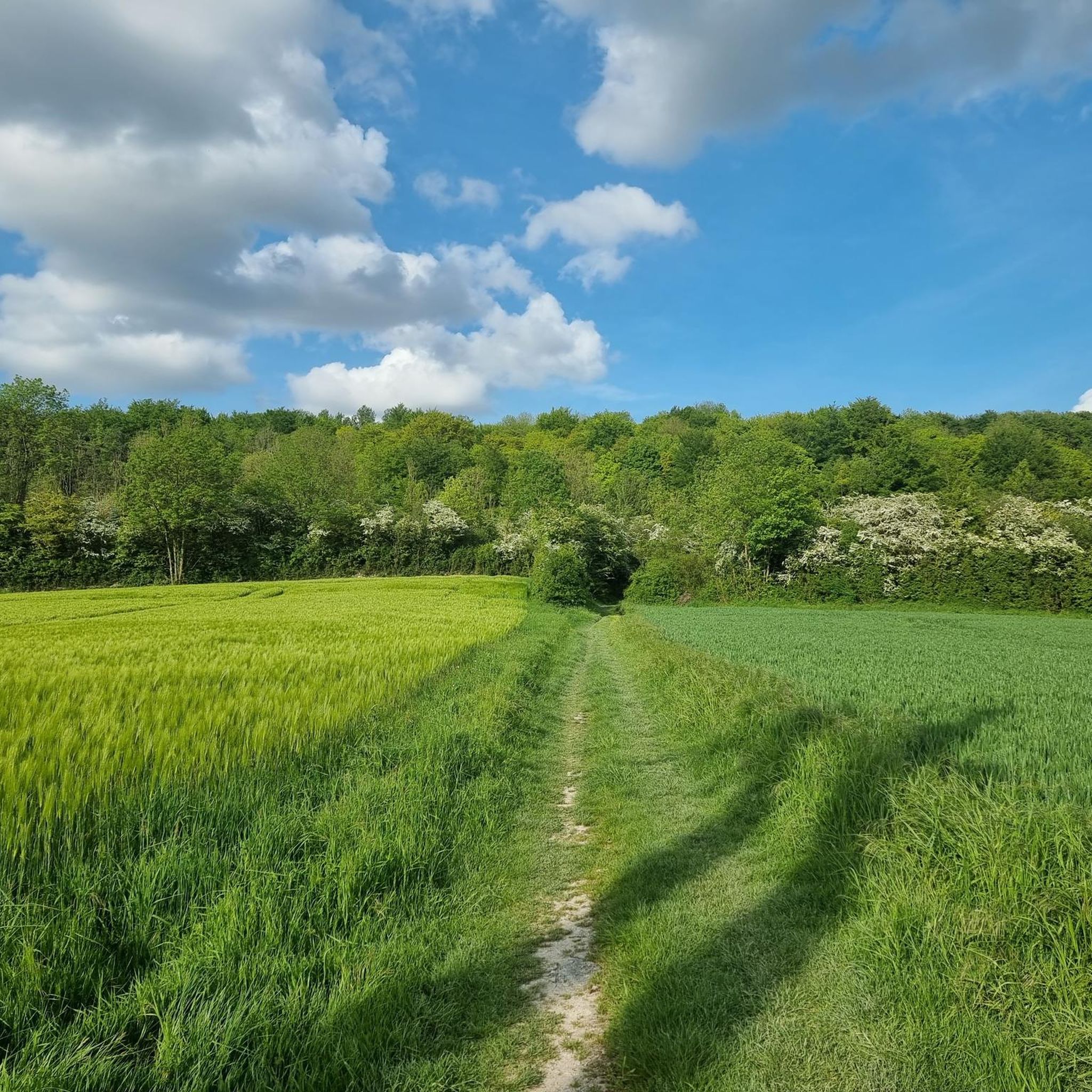
The terrain around Rebreuve-Ranchicourt is characterized by a mix of dense woodlands, open countryside, and gentle hills. You'll find paths traversing forests like those in Olhain Park, as well as routes offering expansive views of the Artois hills. The area provides varied scenery without major difficulty, with most trails being easy to moderate.
What do other hikers say about the trails in Rebreuve-Ranchicourt?
The hiking routes in Rebreuve-Ranchicourt are highly rated by the komoot community, with an average score of 4.6 stars from over 700 reviews. Hikers often praise the diverse landscapes, from the quiet woodlands to the open countryside, and the well-maintained paths suitable for various activities.
Are there many easy hiking options in the area?
Yes, Rebreuve-Ranchicourt offers a good selection of easy hiking options, with over 120 trails classified as easy. These routes are generally shorter and have less elevation gain, making them suitable for casual walkers or those looking for a relaxed outdoor experience.
Are there any notable natural features or landmarks to see while hiking?
Absolutely. While hiking, you can explore unique natural features such as the reclaimed mining landscape of Terril Number 5 of Lapugnoy, which offers distinct views of the plains. Olhain Park itself is a significant natural draw, featuring the highest point in Pas-de-Calais with a belvedere offering panoramic views. You might also encounter Lac de Beugin on some routes.
Can I visit any historical sites or castles near the hiking routes?
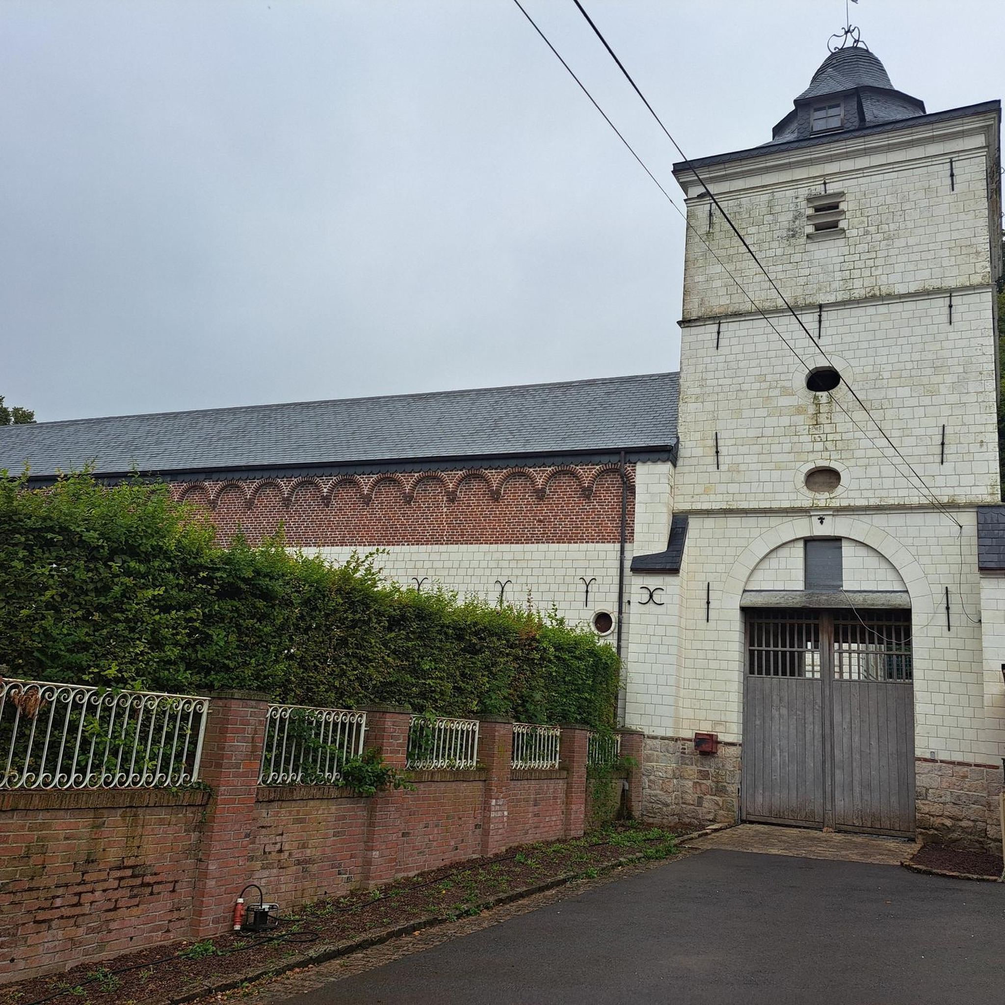
Yes, the region combines natural beauty with historical interest. You can find the picturesque Caucourt Ford and Watermill, or explore the grounds of Olhain Castle. The 18th-century Château de Ranchicourt, with its historic dovecote, is also a notable local landmark.
Are there any trails that feature waterfalls?
Yes, there is a specific route that includes a waterfall. Consider the La Lawe – La Comté Waterfall loop from Beugin, a moderate 12.5 km trail that allows you to experience this natural feature.
Are the hiking trails around Rebreuve-Ranchicourt suitable for families with children?
Many trails in the Rebreuve-Ranchicourt area are suitable for families, especially the numerous easy and moderate routes that traverse forests and open countryside. Olhain Park, with its varied landscapes and facilities, is particularly family-friendly. Always check the specific route details for distance and elevation to ensure it matches your family's capabilities.
Can I bring my dog on the hiking trails?
Generally, dogs are welcome on most hiking trails in the Rebreuve-Ranchicourt area, especially in the forests and open countryside. However, it's always advisable to keep dogs on a leash, especially in nature reserves or areas with livestock, and to check for any specific local regulations or signage along your chosen route.
Are there options for circular walks?
Yes, the area offers many circular walking routes. For example, the Forêt d'Olhain — loop from Rebreuve-Ranchicourt is a popular circular option. Another excellent choice is the Olhain Park Loop, which explores the park's natural features. These loops allow you to start and end at the same point, making logistics easier.
What is the best time of year to go hiking in Rebreuve-Ranchicourt?
The best time to go hiking in Rebreuve-Ranchicourt is typically during spring, summer, and early autumn. Spring brings blooming flora, while summer offers pleasant weather for longer excursions. Autumn provides beautiful foliage. Winters can be cold and damp, but some trails remain accessible for those prepared for the conditions.
Is parking available near the trailheads?
Yes, parking is generally available near popular trailheads, especially around Olhain Park and other well-known starting points for hikes. Specific parking information can often be found in the details of individual komoot tours or by checking local signage upon arrival.
Are there any places to eat or stay near the hiking areas?
While Rebreuve-Ranchicourt itself is a small commune, the wider area, particularly around Olhain Park and nearby towns, offers amenities such as cafes, restaurants, and accommodation options. These can provide a convenient base or a place to refuel after your hike.
Most popular routes around Rebreuve-Ranchicourt
Most popular attractions around Rebreuve-Ranchicourt

Get inspired with the komoot mobile app


Explore more
Browse the best Hikes in other regions.
