The best walks and hikes around Thérouanne
4.6
(366)
2,104
hikers
180
hikes
Hiking trails around Thérouanne are situated in the Lys Valley, characterized by gentle, often undulating terrain. The region features fertile agricultural lands, rolling landscapes, and vast rural areas. A network of paths crosses these natural environments, offering varied hiking experiences.
Best hiking trails around Thérouanne
- The most popular hiking route is Delettes loop from Delettes, a 6.0 miles (9.7 km) trail that takes 2 hours 39 minutes to complete. This moderate route features an elevation gain of 485 feet…
Last updated: July 2, 2026
8
hikers
7.74km
02:01
50m
50m
Moderate hike. Good fitness required. Easily-accessible paths. Suitable for all skill levels.
5
hikers
7.86km
02:08
110m
110m
Moderate hike. Good fitness required. Easily-accessible paths. Suitable for all skill levels.

Sign up for free
4
hikers
3.67km
00:56
10m
10m
Easy hike. Great for any fitness level. Easily-accessible paths. Suitable for all skill levels.
4
hikers
7.78km
02:01
40m
40m
Moderate hike. Good fitness required. Easily-accessible paths. Suitable for all skill levels.
5.0
(2)
7
hikers
20.1km
05:21
220m
220m
Hard hike. Very good fitness required. Easily-accessible paths. Suitable for all skill levels.
Get access to more routes and recommendations from other explorers.
Sign up for free
Already have an account?
Our route recommendations are based on thousands of hikes, rides, and runs completed by other people on komoot.
Start today with a free account
Your next adventure awaits.
Login or Signup





Tips from the Community

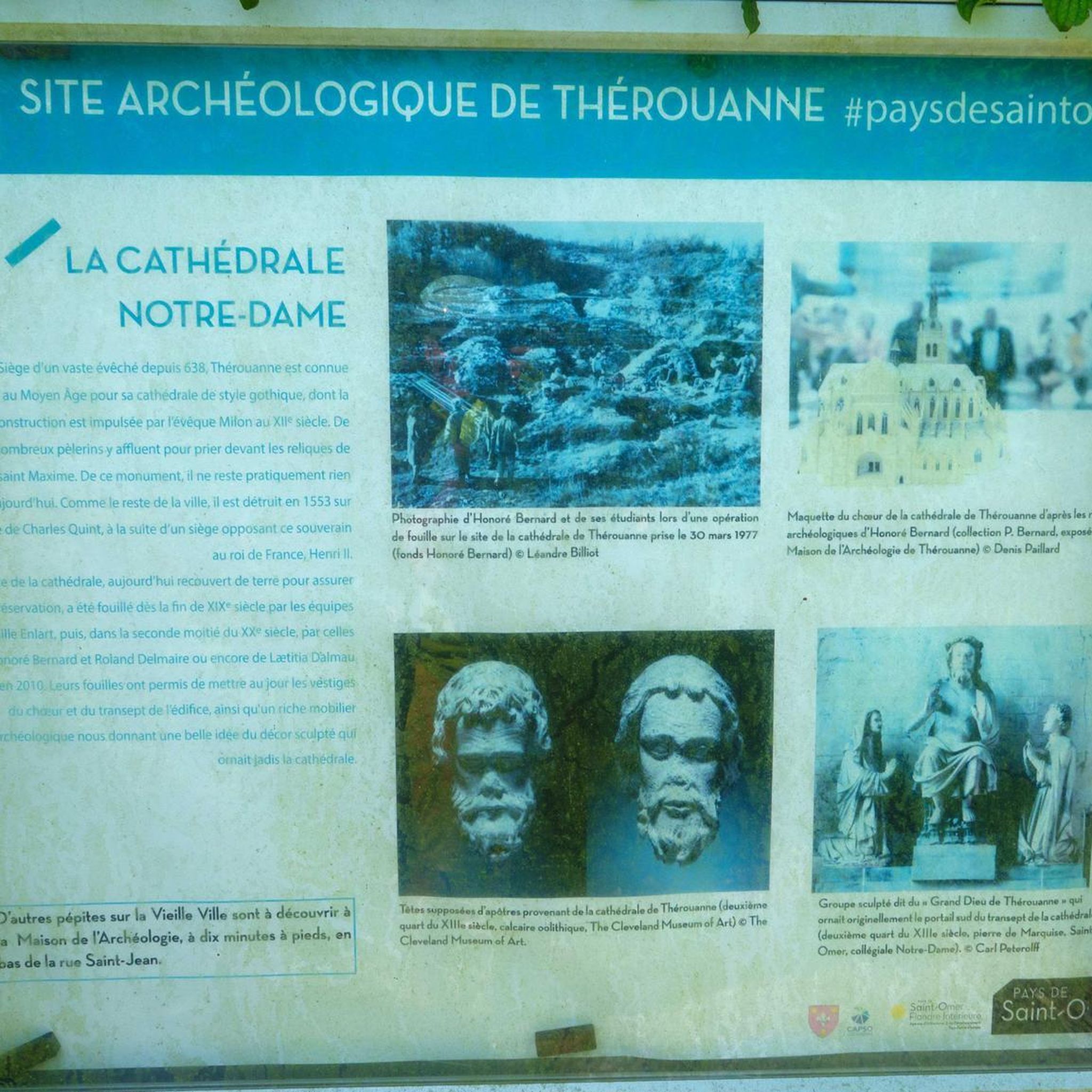
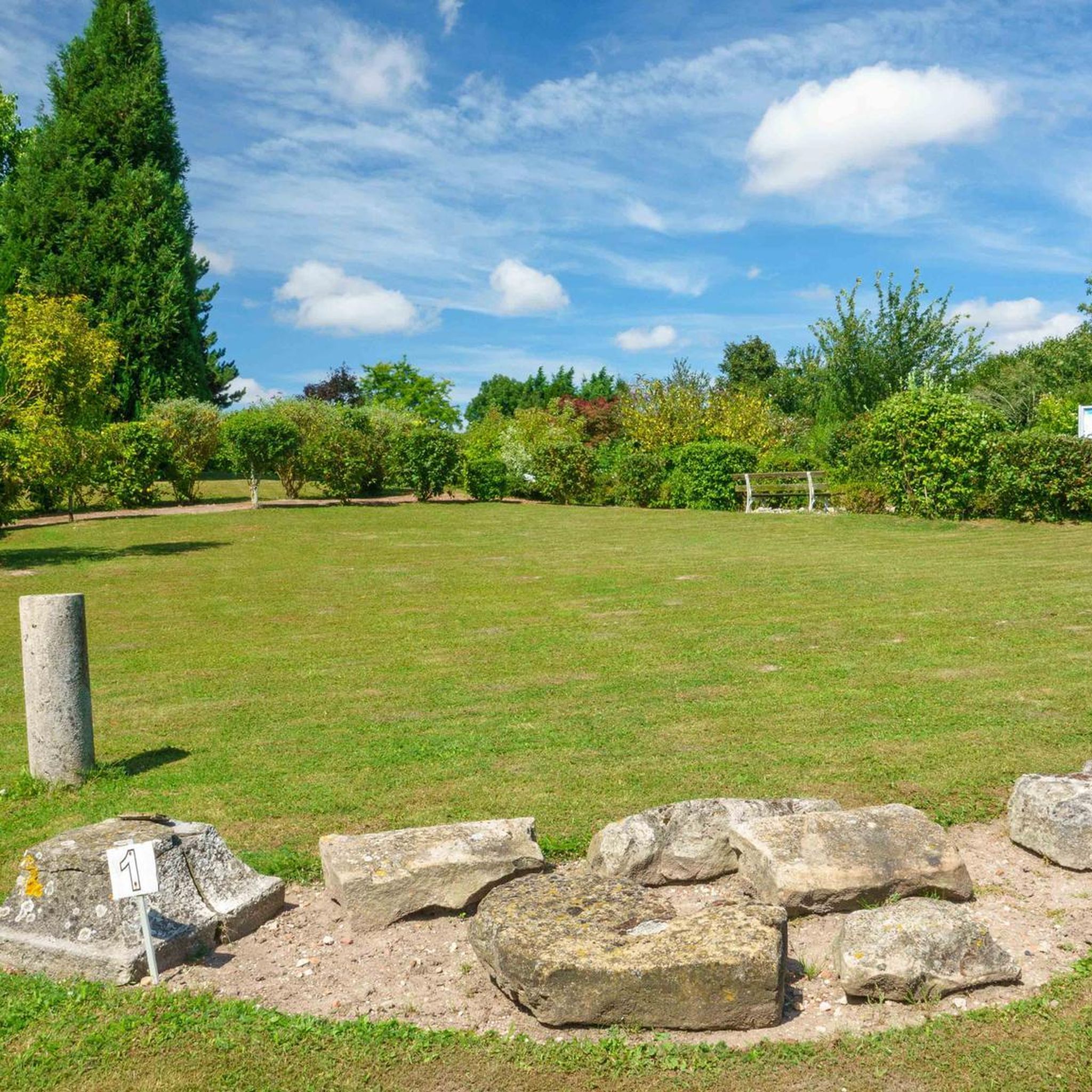
Thérouanne was Sigeric's 77th stop on his return from Canturbey's pilgrimage to Rome. In the 19th century, this fortified town was a French enclave within the German Empire, but was razed by Charles V in 1553. On the hill north of the town are the remains of one of the first cathedrals built in the Gothic style in France. The famous Great God of Thérouanne, which adorned one of the portals, is now housed in Saint-Omer Cathedral.
0
0

Leaving the village of Dohem via Rue du Paradis, the Via Francigena takes you along a pleasant tree-lined path.
0
0
The small village of Delettes includes the hamlets of Upen d'Amont, Upen d'Aval, and Westrehem. Crossed by the Lys River, it boasts a pretty sluice mill built on the banks of the river.
0
0
Thérouanne is stop 77 of Sigeric on his return journey from Canterbury to Rome. The town is also located on the historic road between Boulogne and Arras (Chaussée Brunehaut). In the 16th century, this fortified town was a French enclave within the German Empire, but was razed to the ground by Charles V in 1553. On the hill to the north of the town lie the remains of one of the first cathedrals built in the Gothic style in France. The famous Grand dieu de Thérouanne, which once adorned one of the portals, is now in the cathedral of St-Omer.
4
0

The Rebecques ponds are fishing ponds, but they are no less beautiful to admire. They are open all year round, from sunrise to sunset.
2
0
Frequently Asked Questions
What kind of terrain can I expect on hikes around Thérouanne?
Hikes around Thérouanne are primarily situated in the Lys Valley, offering gentle, often undulating terrain. You'll traverse picturesque farmlands, vast rural areas, and some natural, forested sections. The landscape is generally characterized by rolling hills rather than steep ascents, making it accessible for various fitness levels.
Are there easy hiking trails suitable for beginners or families in Thérouanne?
Yes, Thérouanne offers a good selection of easy trails. Out of over 160 routes in the area, 71 are classified as easy. An example is the Thérouanne loop from Saint-Augustin, a 4.4 km trail with minimal elevation gain, perfect for a relaxed walk. Another accessible option is the "Les Morins" loop, a 14.3 km pedestrian route classified as easy with a moderate elevation gain, estimated to take about 3 hours and 30 minutes.
What historical or natural landmarks can I see while hiking near Thérouanne?
Thérouanne is rich in history. While hiking, you can explore the archaeological site of its former magnificent cathedral. The Maison de l'Archéologie (House of Archaeology) offers further insight into its past as the capital of the Gallic Morini tribe and a significant Roman city. Nearby attractions include the Saint-Pierre Collegiate Church of Aire-sur-la-Lys and several historic mills like the Moulin des Invalides and Moulin Espagnol d'Enquin les Mines.
Are there any long-distance hiking opportunities in the Thérouanne area?
Yes, Thérouanne is part of the historic Via Francigena (GR 145), a significant European cultural itinerary linking Canterbury to Rome. This offers opportunities for longer hikes and experiencing a historic pilgrimage route through the region. You can find more information about the Via Francigena on the Saint-Omer Tourist Office website: Take the Via Francigena.
What do other hikers say about the trails in Thérouanne?
The hiking trails in Thérouanne are highly regarded by the komoot community, with an average score of 4.5 stars from over 300 reviews. Hikers often praise the quiet rural landscapes, the well-maintained network of paths, and the opportunity to combine nature walks with historical exploration.
Are there any challenging hikes around Thérouanne?
While many routes are easy to moderate, there are some more challenging options for experienced hikers. For instance, the Hiking loop from Herbelles is a difficult 20.1 km trail with over 200 meters of elevation gain, offering a longer and more strenuous experience.
Is it possible to find circular hiking routes in Thérouanne?
Yes, many of the hiking routes around Thérouanne are circular, allowing you to start and end at the same point. Examples include the popular "Les Morins" loop and several komoot Smarttours like the Thérouanne loop from Thérouanne, which is an easy 7.6 km circular path.
What is the best time of year to go hiking in Thérouanne?
The Lys Valley and surrounding farmlands are beautiful throughout much of the year. Spring and autumn offer pleasant temperatures and vibrant scenery, with blooming fields or colorful foliage. Summer can also be enjoyable, though it's advisable to start earlier in the day to avoid the midday heat. Winter hikes are possible, but trails might be muddy, and some services could be limited.
Is there public transport available to access hiking trails in Thérouanne?
While specific public transport links directly to trailheads might be limited, Thérouanne is a commune within the Pas-de-Calais department. It's advisable to check local bus schedules or regional transport options for connections to Thérouanne itself. For detailed information on local transport, consulting the regional tourism office or local transport providers would be the best approach.
Are dogs allowed on the hiking trails around Thérouanne?
Generally, dogs are welcome on many public footpaths and trails in rural areas of France, especially if kept on a leash. However, specific rules can vary, particularly in nature reserves or agricultural lands. It's always best to keep your dog under control and clean up after them. There are no explicit restrictions mentioned for the general hiking network around Thérouanne, suggesting it's largely dog-friendly.
How many hiking routes are available in the Thérouanne area?
There are over 160 hiking routes available around Thérouanne, offering a wide variety of distances and difficulty levels to suit different preferences. This extensive network ensures diverse options for exploring the region's landscapes.
Are there any organized walks or guided tours available in Thérouanne?
Yes, the Saint-Omer Tourist Office actively organizes walks in the region, including specific randonnées (hikes) in Thérouanne, such as a 9.5 km route. These organized events can provide a structured way to explore the local environment with local insights. You can check their website for current schedules: Walks and Hikes in Pays de Saint-Omer.
Most popular routes around Thérouanne
Most popular attractions around Thérouanne

Get inspired with the komoot mobile app


Explore more
Browse the best Hikes in other regions.
