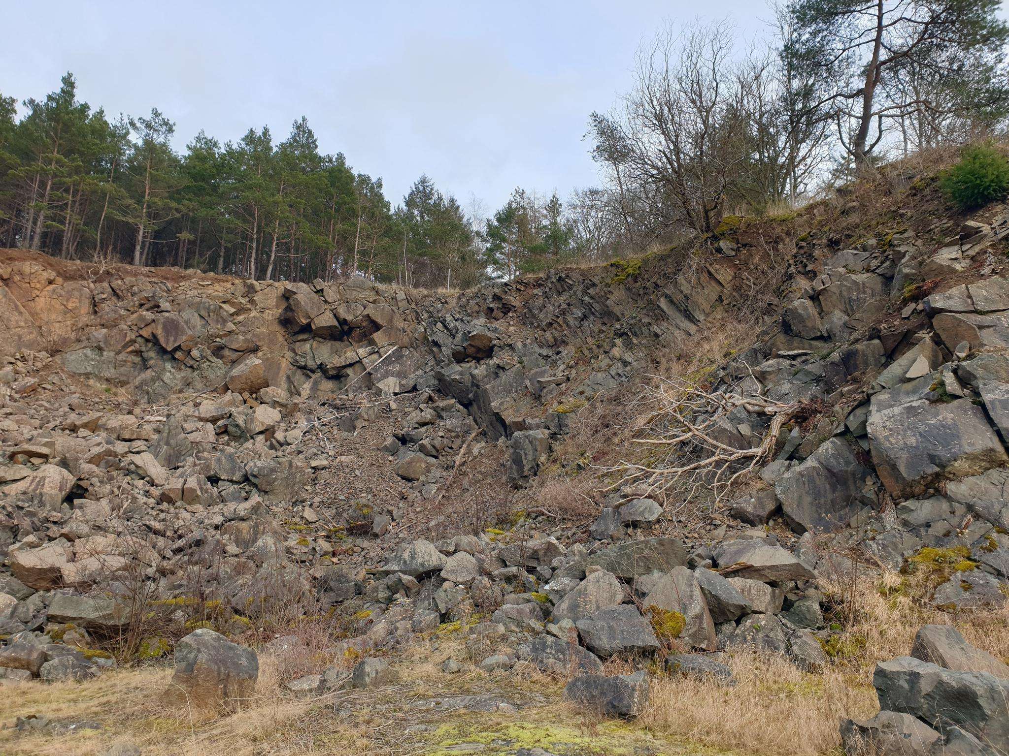
The best running trails around Fontaine-Lavaganne
4.7
(9)
257
runners
63
runs
Jogging around Fontaine-Lavaganne offers diverse terrain across the Picardie Verte and Plateau du Pays de Chaussée. The region is characterized by an irregular silty cover, large cultivated areas, and bocages, providing varied landscapes for running. Gentle hills and valleys define the topography, with the Ru de l'Herboval river adding to the natural features. This blend of undulating terrain and natural elements makes for engaging running routes.
Best jogging routes around Fontaine-Lavaganne
- The most popular jogging route is Running loop from…
Last updated: July 10, 2026
6
runners
9.35km
00:59
100m
100m
Moderate run. Good fitness required. Mostly paved surfaces. Suitable for all skill levels.
6
runners
7.89km
00:55
70m
70m
Moderate run. Good fitness required. Mostly paved surfaces. Suitable for all skill levels.

Sign up for free
4
runners
11.2km
01:10
60m
60m
Moderate run. Good fitness required. Mostly paved surfaces. Suitable for all skill levels.
5
runners
10.6km
01:06
70m
70m
Moderate run. Good fitness required. Mostly paved surfaces. Suitable for all skill levels.
4
runners
15.0km
01:45
130m
130m
Moderate run. Good fitness required. Mostly paved surfaces. Suitable for all skill levels.
Get access to more routes and recommendations from other explorers.
Sign up for free
Already have an account?
Our route recommendations are based on thousands of hikes, rides, and runs completed by other people on komoot.
Start today with a free account
Your next adventure awaits.
Login or Signup

Frequently Asked Questions
What kind of terrain can I expect on the running trails around Fontaine-Lavaganne?
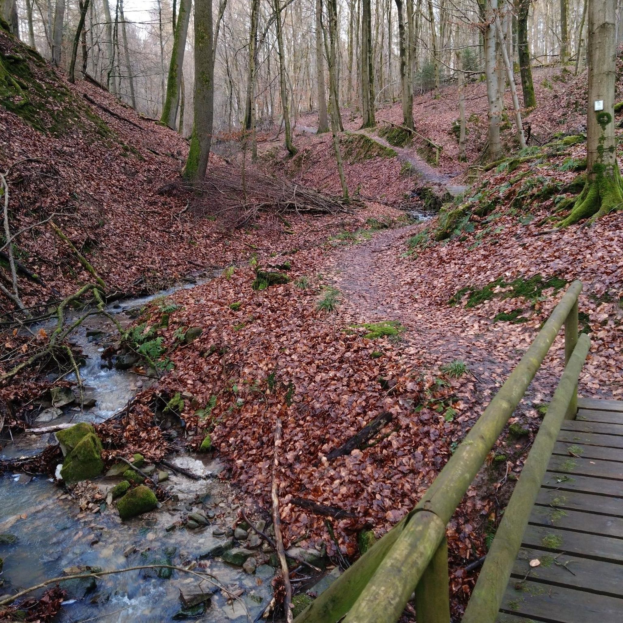
The region offers a diverse landscape, situated at the edge of the Picardie Verte and the Plateau du Pays de Chaussée. You'll find an irregular silty cover, large cultivated areas, and bocages (woodlands) around villages and in valleys. The topography is characterized by gentle hills and valleys, making for engaging and varied running experiences.
Are there any easy running routes suitable for beginners or a relaxed jog?
Yes, Fontaine-Lavaganne has several easy options. Out of nearly 60 routes, 5 are categorized as easy. For instance, the Running loop from Lihus is a moderate route that is relatively flat with only 58m of elevation gain, offering a comfortable experience.
Can I find circular running routes in the Fontaine-Lavaganne area?
Absolutely. Many of the routes around Fontaine-Lavaganne are designed as loops, allowing you to start and finish in the same location. Examples include the Running loop from Villers-sur-Bonnières and the Running loop from Marseille-en-Beauvaisis, both offering scenic circular paths.
What are some notable landmarks or points of interest I might see while jogging near Fontaine-Lavaganne?
The area is rich in history and natural beauty. You might encounter historical sites like the Castle gate near Gerberoy, or the Château de Crèvecœur. The village of Gerberoy itself is classified as one of France's most beautiful villages and is a charming destination for longer runs.
Are the running trails around Fontaine-Lavaganne well-regarded by other users?
Yes, the running routes in Fontaine-Lavaganne are highly rated by the komoot community. With an average score of 4.7 stars from over 9 reviews, more than 200 runners have used komoot to explore the varied terrain, often praising the scenic views and diverse landscapes.
What is the typical elevation gain on running routes in this region?
The routes around Fontaine-Lavaganne generally feature gentle hills rather than steep climbs. For example, the Running loop from Grez has an elevation gain of about 69 meters, while the Running loop from Saint-Maur, a longer route, has around 132 meters of elevation gain, offering a good balance of challenge and accessibility.
Are there any running routes that pass through or near woodlands (bocages)?
Many routes in the Fontaine-Lavaganne area incorporate sections through bocages, which are characteristic woodlands found around villages and in valleys. The Running loop from Saint-Maur is a good example, featuring varied terrain including cultivated fields and these charming wooded areas.
How many running routes are available in total around Fontaine-Lavaganne?
There are nearly 60 dedicated running routes available around Fontaine-Lavaganne on komoot, offering a wide variety of distances and difficulty levels to suit different preferences and fitness levels.
What is the best time of year to go running in Fontaine-Lavaganne?
Fontaine-Lavaganne offers pleasant running conditions throughout much of the year. Spring and autumn provide mild temperatures and beautiful scenery with blooming flowers or changing leaves. Summer is also suitable, though it's advisable to run in the mornings or evenings to avoid the midday heat. Winter runs are possible, but trails might be muddy or icy depending on the weather conditions.
Are there any running trails that offer views of the Ru de l'Herboval river?
The Ru de l'Herboval river originates south of Fontaine-Lavaganne and adds to the natural charm of the area. While specific routes directly along the river aren't detailed, many trails navigate the region's valleys, increasing the likelihood of encountering or having views of this natural feature and other water elements.
What are the typical distances for running routes in Fontaine-Lavaganne?
The running routes in Fontaine-Lavaganne vary in length to accommodate different preferences. You can find routes ranging from shorter distances, like the Running loop from Marseille-en-Beauvaisis at 7.9 km, to longer options such as the Running loop from Saint-Maur, which covers 15 km.
Most popular attractions around Fontaine-Lavaganne

Get inspired with the komoot mobile app


Explore more
Browse the best Running Trails & Routes in other regions.
