The best running trails around Quœux-Haut-Maînil
4.3
(9)
526
runners
65
runs
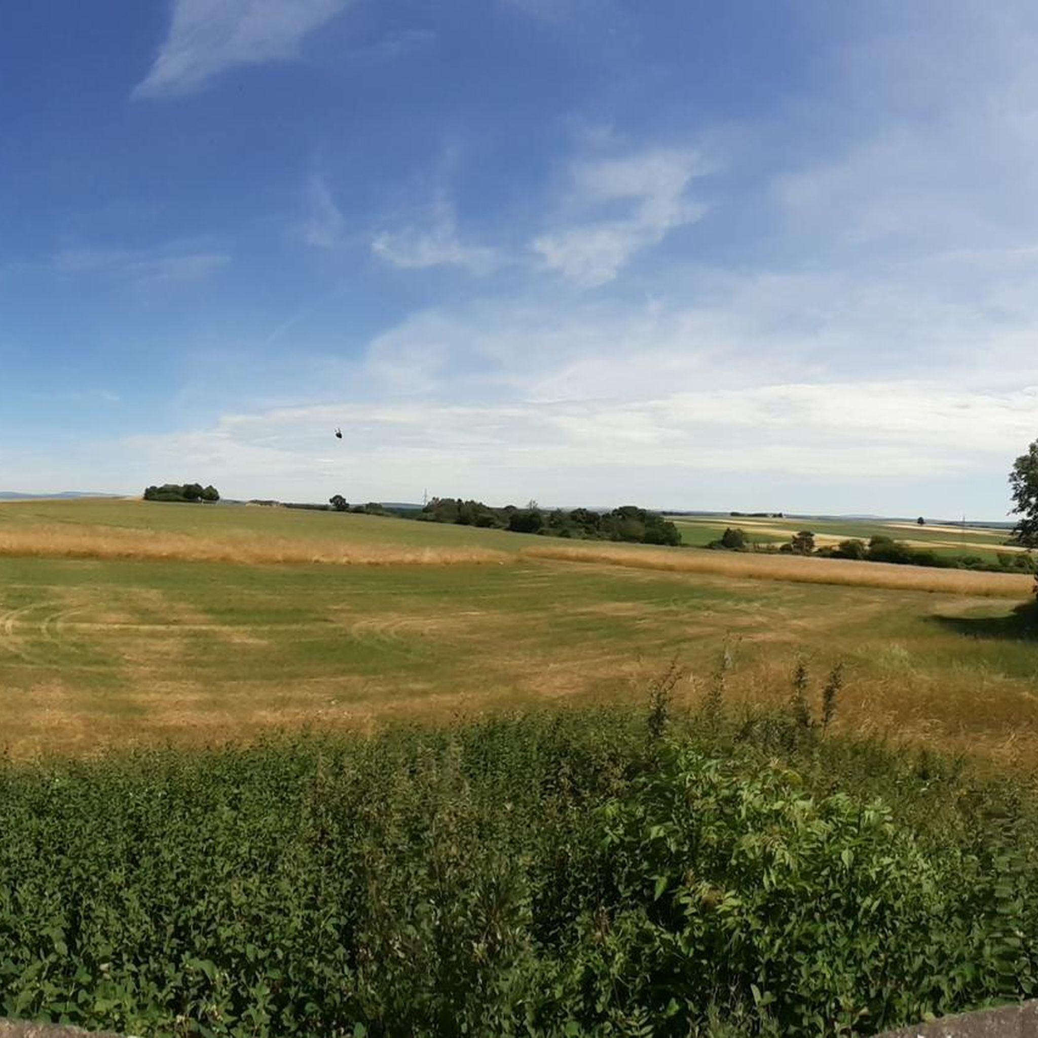
Jogging routes around Quœux-Haut-Maînil traverse a rural landscape characterized by the Authie and Ternois valleys. The area features a mix of humid valley bottoms, calcareous slopes, and cultivated heights, providing varied terrain for running. Elevation ranges from 77 to 139 meters, contributing to diverse running conditions. Wooded hillsides and open fields are common, offering both shaded paths and expansive views.
Best jogging routes around Quœux-Haut-Maînil
- The most popular jogging route is Bois du Guet loop from Auxi-le-Château, a 6.3…
Last updated: June 29, 2026
11
runners
10.1km
01:04
90m
90m
Moderate run. Good fitness required. Mostly paved surfaces. Suitable for all skill levels.
8
runners
8.25km
00:51
50m
50m
Moderate run. Good fitness required. Mostly paved surfaces. Suitable for all skill levels.

Sign up for free
6
runners
10.3km
01:05
30m
30m
Moderate run. Good fitness required. Mostly paved surfaces. Suitable for all skill levels.
4
runners
13.8km
01:28
110m
110m
Moderate run. Good fitness required. Mostly paved surfaces. Suitable for all skill levels.
4
runners
5.95km
00:38
80m
80m
Moderate run. Good fitness required. Mostly paved surfaces. Suitable for all skill levels.
Get access to more routes and recommendations from other explorers.
Sign up for free
Already have an account?
Our route recommendations are based on thousands of hikes, rides, and runs completed by other people on komoot.
Start today with a free account
Your next adventure awaits.
Login or Signup

Frequently Asked Questions
How many running routes are available around Quœux-Haut-Maînil?
There are over 60 dedicated jogging routes around Quœux-Haut-Maînil, offering a wide variety of options for runners of all levels. The komoot community has explored nearly 500 of these routes.
What kind of terrain can I expect on jogging routes in Quœux-Haut-Maînil?
The jogging routes in Quœux-Haut-Maînil traverse a diverse landscape, primarily characterized by the Authie and Ternois valleys. You'll find a mix of humid valley bottoms, calcareous slopes, wooded hillsides, and cultivated heights. This provides varied terrain, from gentle inclines to more challenging sections, including unique 'larris' (unwooded calcareous hillsides) for a more natural running experience.
Are there running routes suitable for beginners or those looking for an easy run?
Yes, Quœux-Haut-Maînil offers several easy running routes. For instance, the region features routes with gentle slopes and well-maintained paths, such as sections of the Auxi - Bernâtre Greenway, which is a tree-lined cycleway also suitable for a smooth jogging experience.
What do other runners enjoy most about jogging in Quœux-Haut-Maînil?
The running routes in Quœux-Haut-Maînil are highly rated by the komoot community, with an average score of 4.3 stars. Runners often praise the tranquil rural landscapes, the mix of open fields and wooded sections, and the varied topography that keeps runs interesting. The serene environment of the Authie and Ternois valleys is frequently highlighted.
Are there any circular jogging routes in the area?
Yes, many of the jogging routes around Quœux-Haut-Maînil are circular, allowing you to start and finish at the same point. A popular option is the Bois du Guet loop from Auxi-le-Château, a 6.3-mile (10.1 km) trail that takes you through pleasant wooded sections.
Can I find running routes with interesting landmarks or points of interest?
While Quœux-Haut-Maînil itself is very rural, the wider area offers routes that pass by interesting points. For example, you can explore routes near the Town of Hesdin, or discover the Notre-Dame Church. The Auxi - Bernâtre Greenway also provides a scenic path.
Are there family-friendly running routes in Quœux-Haut-Maînil?
Yes, the region's mix of easy and moderate routes, often on quiet rural roads and agricultural paths, makes it suitable for family runs. The gentle slopes and scenic views provide an enjoyable experience for all ages. Look for routes with lower elevation gains and shorter distances for younger family members.
What is the best time of year to go running in Quœux-Haut-Maînil?
Quœux-Haut-Maînil experiences an oceanic climate with temperate summers, making spring, summer, and early autumn ideal for running. The verdant scenery is particularly beautiful during these seasons. While winter running is possible, be prepared for cooler temperatures and potentially muddier paths, especially in the valley bottoms.
Are there any longer or more challenging running routes for experienced runners?
Yes, for those seeking a greater challenge, there are several moderate to difficult routes. An example is the Le Romont – Bois du Guet loop from Auxi-le-Château, which is a 8.6-mile (13.8 km) route with over 110 meters of elevation gain, offering a more demanding run through varied terrain.
Are dogs allowed on the running trails in Quœux-Haut-Maînil?
Generally, dogs are welcome on many of the rural paths and trails in the Quœux-Haut-Maînil area, especially on agricultural paths and less formal routes. However, it's always advisable to keep your dog on a leash, especially near cultivated fields or livestock, and to respect local regulations and private property signs.
Is parking available near the running routes?
Given the rural nature of Quœux-Haut-Maînil and its surrounding villages like Auxi-le-Château, you can typically find parking in village centers or designated areas near trailheads. Many routes, such as the Running loop from Auxi-le-Château, often start from locations where parking is accessible.
Can I access running routes in Quœux-Haut-Maînil using public transport?
Public transport options directly to Quœux-Haut-Maînil may be limited due to its rural location. However, regional bus services might connect to larger towns nearby, from which you could potentially access some routes. For specific routes, it's best to check local transport schedules to plan your journey.
What are the typical distances of running routes in this area?
The running routes around Quœux-Haut-Maînil vary in length to suit different preferences. You can find shorter runs, like the Running loop from Vieil-Hesdin at 3.7 miles (5.8 km), up to longer trails such as the 8.6-mile (13.8 km) Le Romont – Bois du Guet loop, with many moderate options in between.
Most popular attractions around Quœux-Haut-Maînil

Get inspired with the komoot mobile app


Explore more
Browse the best Running Trails & Routes in other regions.
