The best running trails around Montfuron
4.3
(48)
1,769
runners
200
runs
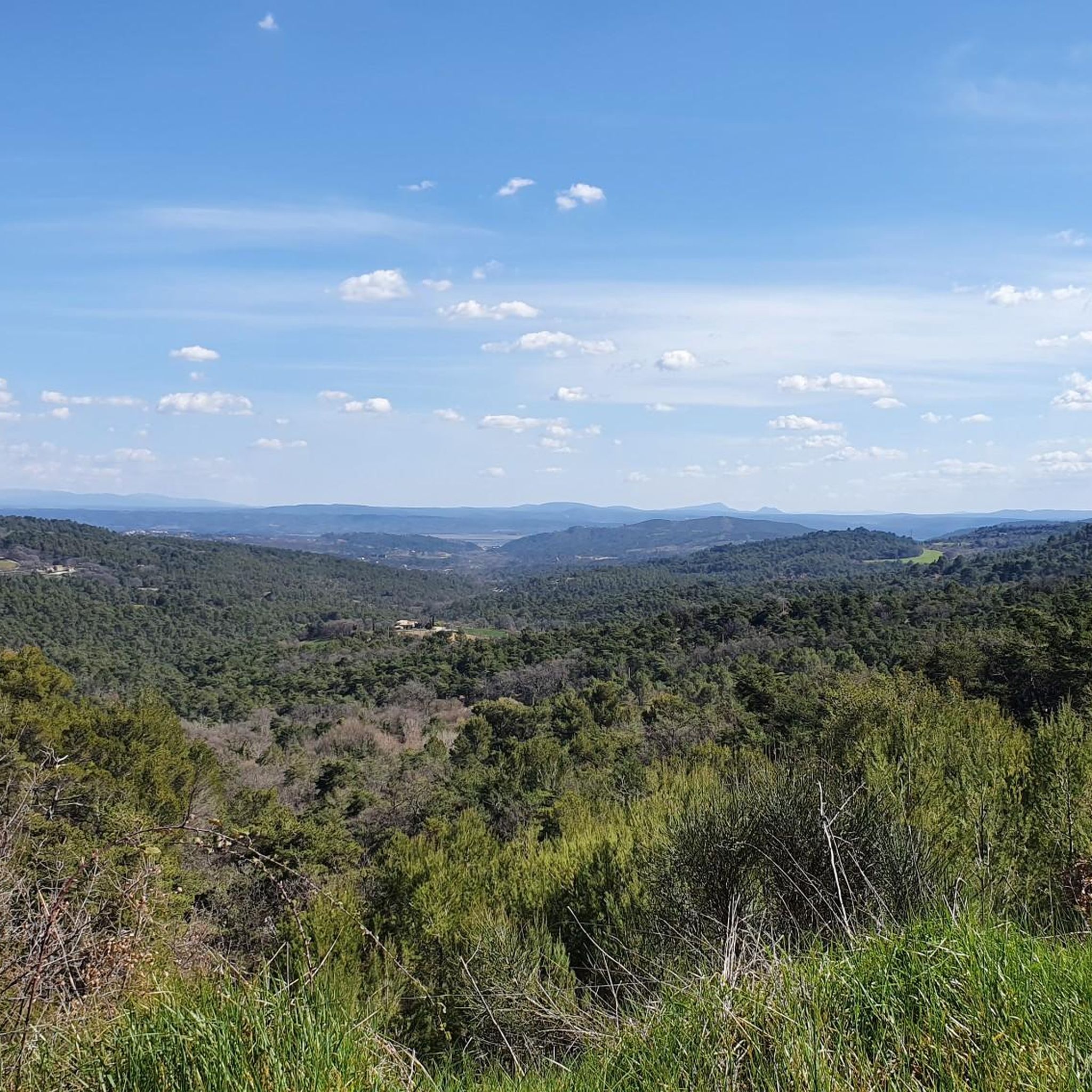
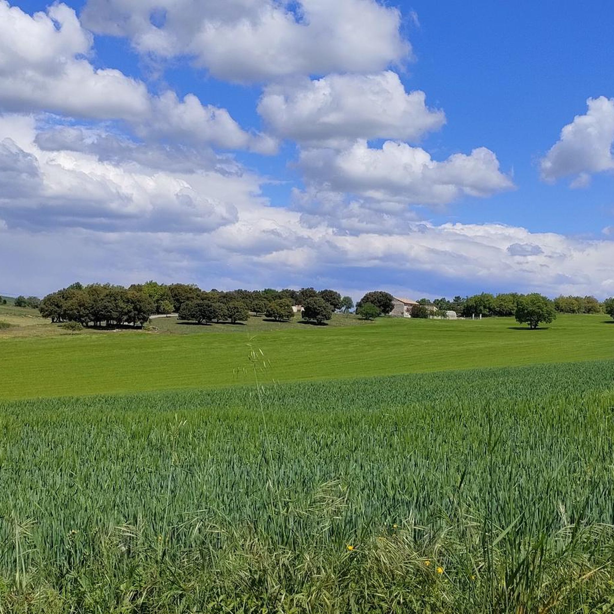
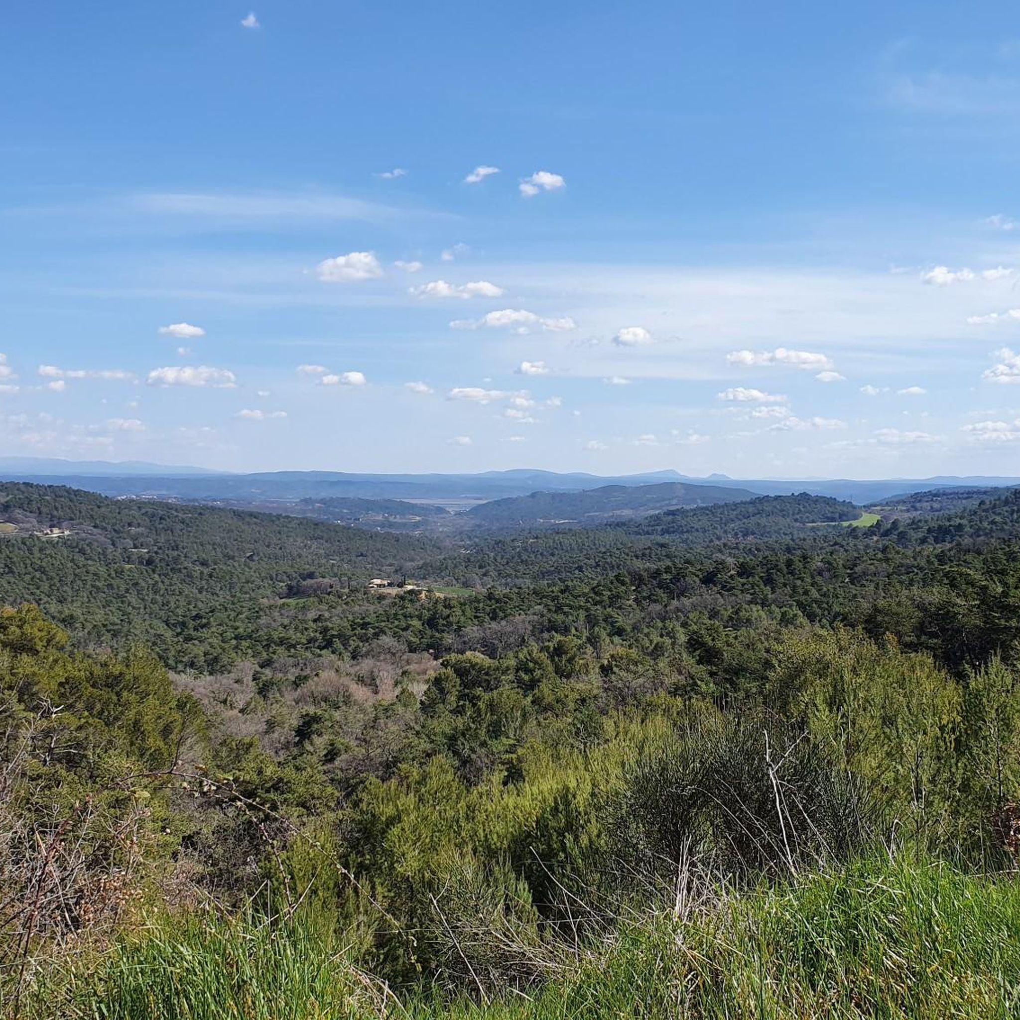
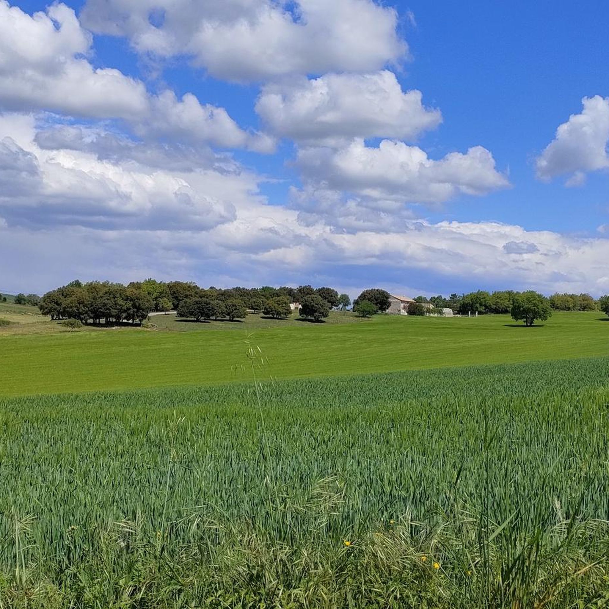
Jogging routes around Montfuron are set within the Luberon Regional Natural Park, a protected area known for its diverse landscapes. The village, situated on a hilltop, provides panoramic views of the Giono hills, the Durance plain, the Valensole plateau, and the foothills of the Alps. The terrain features a mix of cultivated lands, forests, valleys, and hills, offering varied running experiences. This region is characterized by its elevated positions and natural features, providing a dynamic environment for runners.
Best jogging…
Last updated: October 11, 2026
25
runners
22.7km
02:57
650m
650m
Hard run. Very good fitness required. Mostly paved surfaces. Suitable for all skill levels.
21
runners
9.96km
01:18
280m
280m
Moderate run. Good fitness required. Mostly paved surfaces. Suitable for all skill levels.

5.0
(2)
12
runners
4.17km
00:27
80m
70m
Easy run. Great for any fitness level. Mostly paved surfaces. Suitable for all skill levels.
6
runners
10.2km
01:12
150m
150m
Moderate run. Good fitness required. Mostly paved surfaces. Suitable for all skill levels.
3
runners
5.71km
00:38
100m
100m
Moderate run. Good fitness required. Mostly paved surfaces. Suitable for all skill levels.
Get access to more routes and recommendations from other explorers.
Already have an account?
Our route recommendations are based on thousands of hikes, rides, and runs completed by other people on komoot.
Start today with a free account
Your next adventure awaits.

Tips from the Community

Wonderful but challenging to walk!
0
0

At the limits of the Lubéron and at the gates of the town of Manosque Montfurron, as its name suggests, is a village located on a height. The village has a windmill called the Moulin de La Dame which is operational. From the village you can sometimes see the mountain of Lure in the distance.
0
0
Frequently Asked Questions
How many running routes are available around Montfuron?
Montfuron offers a wide selection of running routes, with over 190 trails mapped on komoot. These include 10 easy routes, 134 moderate routes, and 51 difficult routes, catering to various fitness levels and preferences.
What kind of terrain can I expect on jogging trails near Montfuron?
The running trails around Montfuron are incredibly diverse, set within the Luberon Regional Natural Park. You'll encounter a mix of cultivated lands, forests, valleys, and hills. The elevated position of Montfuron also means many routes feature dynamic changes in elevation and offer stunning panoramic views.
Are there scenic viewpoints or landmarks along the jogging routes?
Absolutely! Montfuron is renowned for its breathtaking 360-degree vistas. Many routes provide magnificent panoramas encompassing the Giono hills, the Durance plain, the Valensole plateau, and the foothills of the Alps, including the prominent peaks of the Luberon, Lure Mountains, and Mont Ventoux. You might also encounter the historic Montfuron castle ruins or the unique 'Wind Stone' on the belvedere.
What do other runners enjoy most about jogging in Montfuron?
The running routes in Montfuron are highly rated by the komoot community, with an average score of 4.4 stars from over 30 reviews. Runners frequently praise the extensive panoramic views, the diverse landscapes of the Luberon Regional Natural Park, and the engaging mix of hills and forests that provide a dynamic running experience.
Are there any easy running routes suitable for beginners or families?
Yes, Montfuron has 10 easy running routes that are great for beginners or families looking for a less strenuous experience. One such option is the Running loop from La Pinède, a 2.6-mile (4.2 km) trail that takes you through diverse landscapes in about 27 minutes.
Can I find circular running routes around Montfuron?
Many of the running routes around Montfuron are circular, allowing you to start and end in the same location. For example, the popular Le Gancet loop from Montfuron is a 10.1-mile (16.2 km) trail offering extensive panoramic views, and the Running loop from Montfuron is a moderate 6.2-mile (10.0 km) path that traverses varied terrain.
What are some notable natural features to look out for while running?
Beyond the stunning panoramas, you'll be running within the Luberon Regional Natural Park, a UNESCO Global Geopark. Keep an eye out for the Montfuron Butterfly Garden near the historic windmill, which attracts over sixty species of diurnal butterflies. You might also pass through parts of the Pélicier State Forest, offering a refreshing natural environment.
Are there any specific points of interest or attractions nearby that I can visit after a run?
Certainly! After your run, you could explore nearby settlements like Saint Michel l'Observatoire or Reillanne village. For those interested in history and culture, the Jean Giono Centre and the Historic Center of Manosque are also within reach.
What is the best time of year to go running in Montfuron?
Montfuron is generally pleasant for running for much of the year. Spring and autumn offer mild temperatures and vibrant natural scenery. Summer can be warm, so early morning or late afternoon runs are advisable. The varied terrain and protected natural park status ensure beautiful conditions across seasons, though specific trail conditions might vary with weather.
Are there any running routes that offer views of the Luberon Valley?
Yes, several routes provide excellent views of the Luberon Valley. For instance, the View of the Luberon Valley loop from Pierrevert is a moderate 5.9-mile (9.5 km) route specifically designed to showcase these stunning vistas.
Are there options for longer or more challenging runs?
For runners seeking a greater challenge, Montfuron offers 51 difficult routes. The Le Gancet loop from Montfuron, at 10.1 miles (16.2 km) with over 400 meters of elevation gain, is a prime example of a more demanding trail that rewards with extensive panoramic views.
Most popular attractions around Montfuron

Get inspired with the komoot mobile app


Explore more
Browse the best Running Trails & Routes in other regions.
