The best walks and hikes around Toutens
4.5
(27)
211
hikers
15
hikes
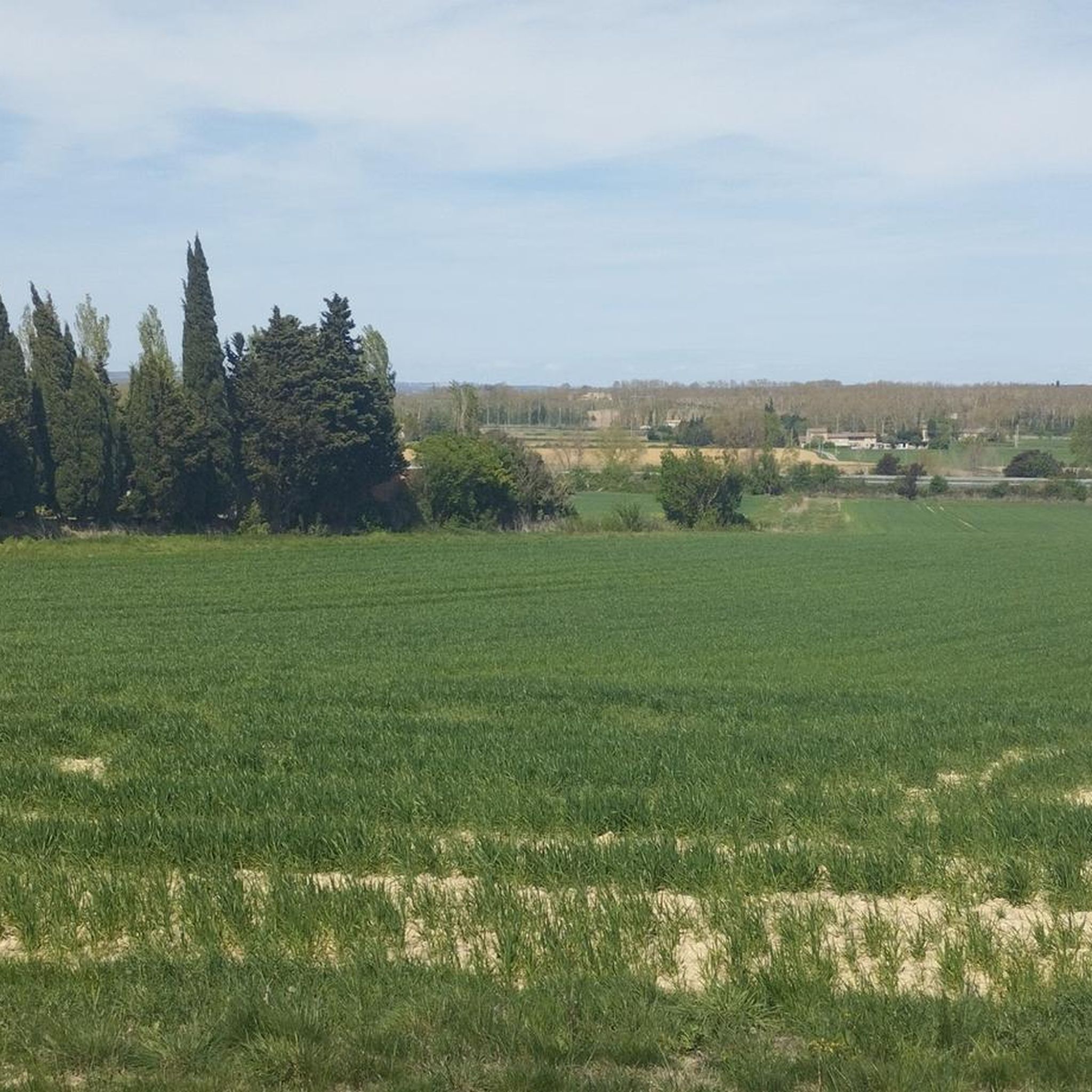
Hiking around Toutens offers access to a rural landscape in the Haute-Garonne department of Southwestern France. The area features gentle terrain, with elevations ranging from 206 to 283 meters (676–928 ft), making it suitable for accessible outdoor activities. Key features include the Canal du Midi and the Hers River valley, both providing greenways for walking. The region is characterized by its peaceful, less crowded atmosphere, ideal for relaxed exploration.
Best hiking trails around Toutens
- The most popular hiking route is…
Last updated: October 7, 2026
4.8
(5)
35
hikers
6.56km
01:47
90m
100m
Easy hike. Great for any fitness level. Easily-accessible paths. Suitable for all skill levels.
4.0
(3)
15
hikers
20.2km
05:28
280m
280m
Hard hike. Very good fitness required. Easily-accessible paths. Suitable for all skill levels.

3.0
(1)
10
hikers
13.4km
03:38
190m
190m
Moderate hike. Good fitness required. Easily-accessible paths. Suitable for all skill levels.
4.3
(3)
11
hikers
5.47km
01:30
90m
90m
Easy hike. Great for any fitness level. Easily-accessible paths. Suitable for all skill levels.
5.0
(1)
6
hikers
Hard hike. Very good fitness required. Easily-accessible paths. Suitable for all skill levels.
Get access to more routes and recommendations from other explorers.
Already have an account?
Our route recommendations are based on thousands of hikes, rides, and runs completed by other people on komoot.
Start today with a free account
Your next adventure awaits.



Tips from the Community

The aqueduct of the vaults was designed by Vauban and built between 1688 and 1690 by master masons Jean Barrière and Pierre Berquiere. It is located in Haute-Garonne, in the communes of Renneville and Gardouch, and allows the Canal du Midi to cross the Hers. The edifice has been listed as a supplementary inventory of Historic Monuments by decree on April 24, 1998.
0
0
Double lock located on the Canal du Midi. The lock keeper's house dates from the mid-18th century, the interior consisted of a living room and a stable. The name of this lock comes from Occitan and means "the oak tree".
0
0
Double lock located on the Canal du Midi. The lock keeper's house dates from the mid-18th century, the interior consisted of a living room and a stable. The name of this lock comes from Occitan and means "the oak tree".
0
0
The Canal du Midi, formerly Canal Royal, is a 17th-century technical feat designed by Pierre-Paul Riquet to connect the Atlantic to the Mediterranean. Today, it is above all a place for relaxation and discovery, where heritage, nature, and conviviality meet.
0
0
The Canal du Midi, formerly Canal Royal, is a 17th-century technical feat designed by Pierre-Paul Riquet to connect the Atlantic to the Mediterranean. Today, it is above all a place for relaxation and discovery, where heritage, nature, and conviviality blend together.
0
0
To visit: Naurouze (Watershed on the Canal du Midi, plane tree alley, octagonal basin, Ocean lock...). Archaeological site from the 3rd and 4th centuries (thermae, sarcophagi...). Hauts du Village (Aéropostale Lighthouse, Chappe telegraph tower, 14th-century castle gate, viewpoint).
0
0

To visit: - Seuil de Naurouze - 3rd century archaeological site - Chappe telegraph tower & Aéropostale lighthouse
0
0

Be careful to duck your head! The height is very low.
0
0
Frequently Asked Questions
How many hiking trails are available around Toutens?
There are over 10 hiking routes available around Toutens, offering a range of experiences from easy strolls to more challenging excursions. The area is known for its peaceful, less crowded atmosphere, ideal for relaxed exploration.
Are there any easy hiking trails suitable for beginners or leisurely walks?
Yes, Toutens offers several easy trails. For a pleasant, shorter walk, consider the Caraman loop from Caraman, which is 3.4 miles (5.5 km) long and typically takes about 1 hour 30 minutes. Another accessible option is the Rue des Prêtres loop from Villefranche-de-Lauragais, covering 6.6 km with minimal elevation.
What kind of natural features or landmarks can I expect to see on a hike in Toutens?
Hiking around Toutens offers picturesque views of the Lauragais countryside, characterized by rolling hills and agricultural scenery. You can also explore sections of the historic Canal du Midi, a UNESCO World Heritage site, which provides tranquil, tree-lined paths. The Hers River valley also features a magnificent greenway. Some routes offer distant glimpses of the Pyrenees mountains.
Are there any challenging hikes for experienced trekkers?
For a more challenging experience, the Village square – Chapel loop from Maurens is a demanding 12.5 miles (20.2 km) trail that takes approximately 5 hours 27 minutes to complete, traversing the rural surroundings with significant elevation changes.
Are there any circular hiking routes in the Toutens area?
Yes, many trails in the region are designed as loops. Besides the challenging Village square – Chapel loop from Maurens, a moderate option is the Village square – Chapel loop from Falga, which is 8.3 miles (13.4 km) and offers varied scenery typical of the Occitanie region.
What do other hikers say about the trails in Toutens?
The routes in Toutens are highly rated by the komoot community, with an average score of 4.3 stars from 16 reviews. Hikers often praise the peaceful atmosphere, the scenic countryside views, and the well-maintained paths along the Canal du Midi and Hers valley.
Is Toutens a good destination for family-friendly hikes?
Yes, the generally moderate and accessible terrain, with a maximum elevation of 283 meters, makes Toutens suitable for families. The easy trails, such as the Caraman loop from Caraman, are great for walks with children, offering gentle slopes and picturesque countryside without being overly strenuous.
Are dogs allowed on the hiking trails in Toutens?
While specific regulations can vary by trail, many paths in the French countryside, especially those along the Canal du Midi and through agricultural areas, are generally dog-friendly. It's always recommended to keep dogs on a leash, especially near livestock or protected natural areas like the Pond of La Mazière, and to clean up after them.
What is the best time of year to go hiking in Toutens?
The region's pleasant climate makes hiking enjoyable for much of the year. Spring and autumn offer mild temperatures and beautiful scenery, with blooming wildflowers or vibrant fall foliage. Summer can be warm, so early morning or late afternoon hikes are recommended. Winter hikes are also possible, offering a different, serene perspective of the countryside.
Are there any longer, moderate trails for a half-day hike?
Absolutely. The Village square – Chapel loop from Falga is a popular moderate option, stretching 8.3 miles (13.4 km) and typically completed in about 3 hours 38 minutes. Another moderate choice is the 10.9 km Rue des Prêtres loop from Villefranche-de-Lauragais, which takes around 3 hours.
Most popular attractions around Toutens

Get inspired with the komoot mobile app


Explore more
Browse the best Hikes in other regions.
