The best running trails around Berre-Les-Alpes
4.4
(77)
4,857
runners
204
runs
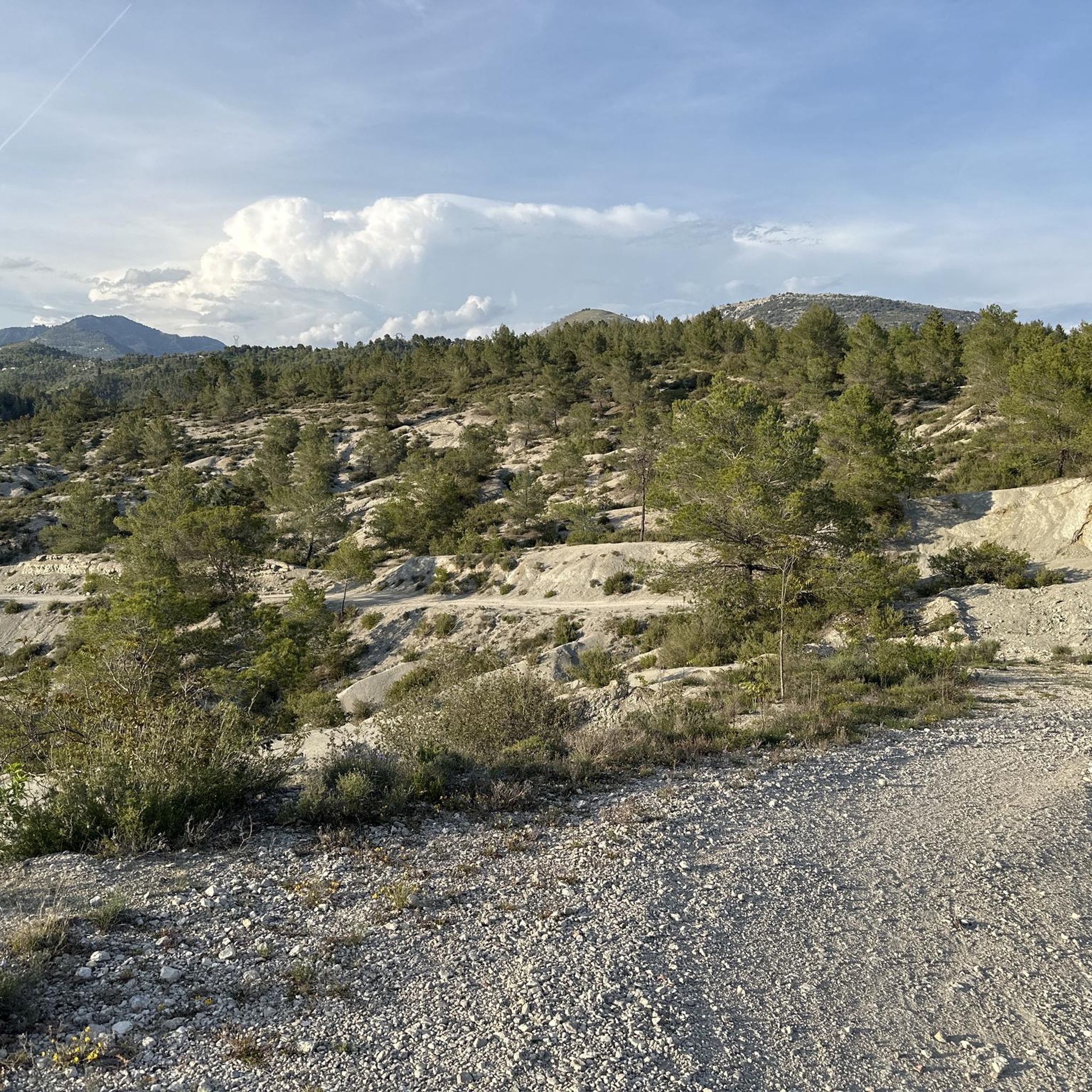
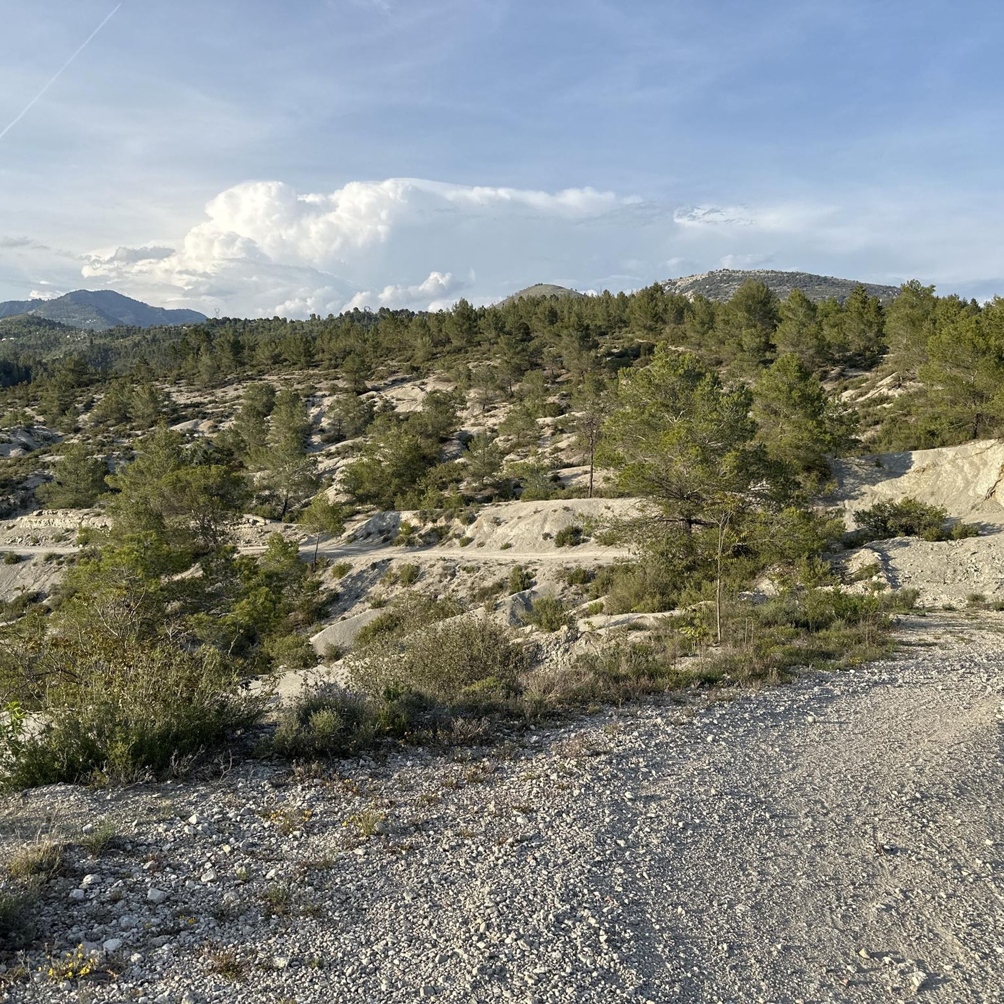
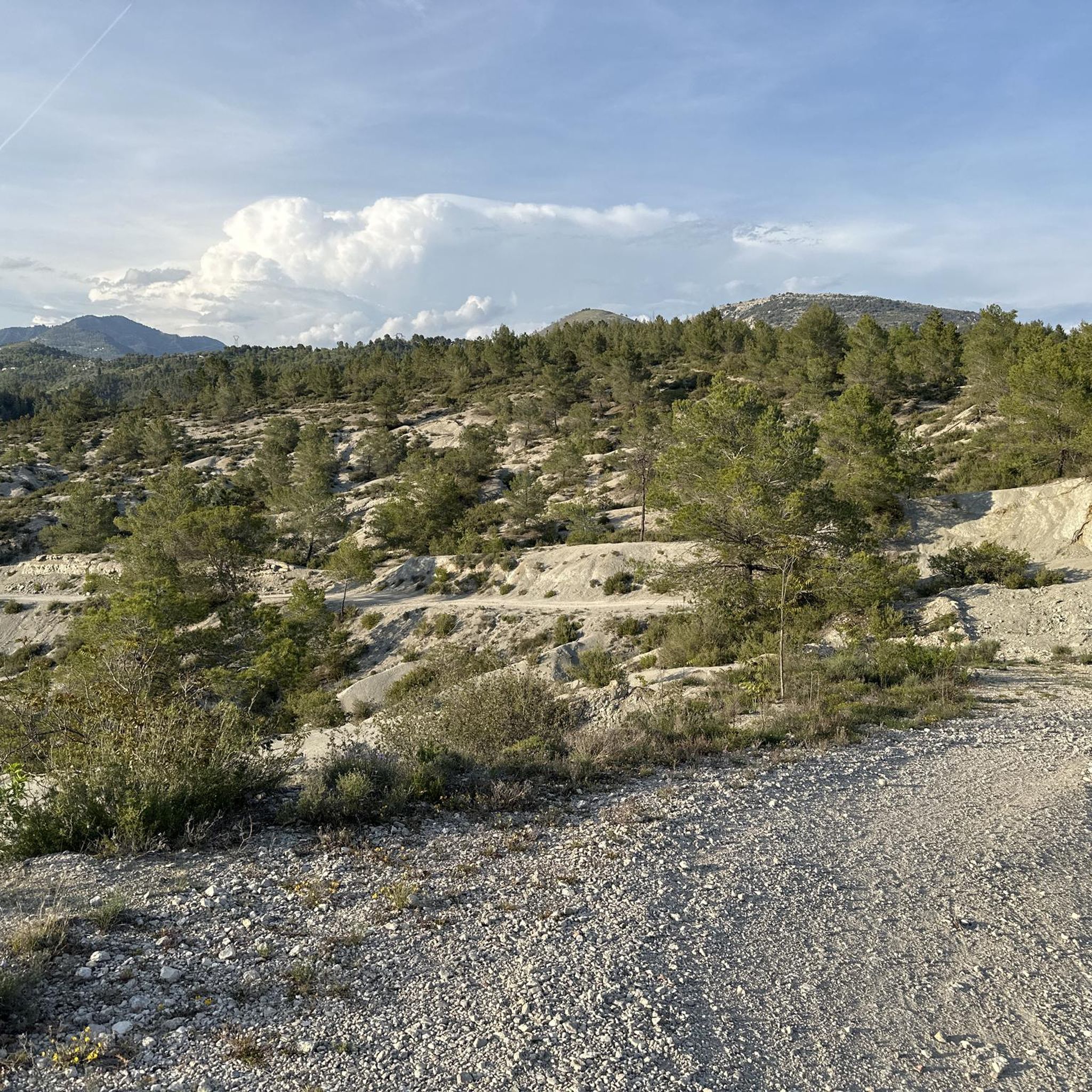
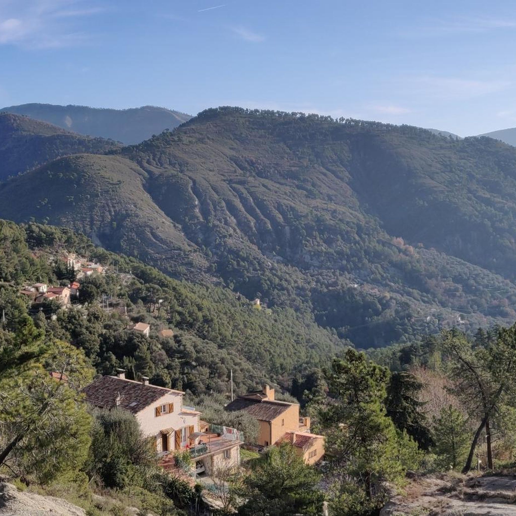
Jogging routes around Berre-les-Alpes offer diverse terrain in the Alpes-Maritimes department of France. The area is characterized by its elevated position at 682 meters, providing panoramic views across the Ferrion mountain range and the Mediterranean Sea. Runners can explore paths through extensive chestnut, mimosa, and pine forests, with olive groves present at lower altitudes. The landscape features a mix of wooded areas, rocky formations, mountains, and valleys, providing varied running experiences.
Best jogging routes around Berre-Les-Alpes
- The most popular jogging…
Last updated: October 15, 2026
4.7
(3)
46
runners
20.6km
02:42
780m
780m
Hard run. Very good fitness required. Mostly accessible paths. Some sure footedness required.
38
runners
22.6km
03:11
1,000m
1,000m
Hard run. Very good fitness required. Sure-footedness, sturdy shoes and alpine experience required.

4.0
(2)
43
runners
18.4km
02:11
560m
560m
Hard run. Very good fitness required. Mostly paved surfaces. Suitable for all skill levels.
5.0
(2)
21
runners
9.71km
01:02
150m
150m
Moderate run. Good fitness required. Mostly paved surfaces. Suitable for all skill levels.
13
runners
7.41km
00:52
170m
170m
Moderate run. Good fitness required. Mostly paved surfaces. Suitable for all skill levels.
Get access to more routes and recommendations from other explorers.
Already have an account?
Our route recommendations are based on thousands of hikes, rides, and runs completed by other people on komoot.
Start today with a free account
Your next adventure awaits.

Tips from the Community


little very technical course a lot of raises I love
0
0
very technical but really neat
0
0

From the bakery to the bar in the shadow of the church, there is everything you need for a short break on the way. A cozy place with a magical ambience.
1
0
Frequently Asked Questions
What kind of terrain can I expect on the running routes around Berre-les-Alpes?
The terrain around Berre-les-Alpes is quite varied, offering a mix of challenges and scenic beauty. You'll find paths winding through extensive chestnut, mimosa, and pine forests, with olive groves at lower altitudes. The landscape also features rocky formations, mountains, and valleys, providing diverse running experiences. Expect both shaded wooded areas and open, elevated sections with panoramic views.
Are there many running trails available in the Berre-les-Alpes area?
Yes, the region boasts a comprehensive network of routes. There are over 180 running trails around Berre-les-Alpes, catering to various fitness levels. This includes a good selection of moderate and challenging routes, ensuring there's always a new path to explore.
Can I find easy jogging routes suitable for beginners or a relaxed run?
While many routes in the area are moderate to difficult, there are a few easier options available. For instance, the region research mentions the 'Ruisseau de Redebraus – Waterfall loop from Touet-de-l'Escarène' as an easy 5.1 km trail with a waterfall, taking about 1 hour and 33 minutes. Komoot also lists 4 easy routes among its offerings, perfect for a less strenuous run.
What are some notable landmarks or viewpoints I might encounter on the trails?
The elevated position of Berre-les-Alpes provides breathtaking panoramic views across the Ferrion mountain range, the Mediterranean Sea, Mont Agel, and even extending to the Franco-Italian peaks. Along the trails, you might discover highlights such as the Sirricocca viewpoint, or historical sites like the Castle ruins. The area also features natural wonders like the Gorges de la Vésubie.
Are there any running routes with significant elevation gain for a challenging workout?
Absolutely. Berre-les-Alpes is known for its challenging routes with significant elevation changes. Many trails lead through mountains and valleys, offering demanding ascents. For example, the Baisse de la Croix loop from L´Escarene is a difficult 21.9 km route with over 600 meters of elevation gain, providing a strenuous workout and rewarding views. The region also features numerous cols (mountain passes) that are popular for their challenging climbs.
What do other runners say about the trails in Berre-les-Alpes?
The running routes in Berre-les-Alpes are highly regarded by the komoot community, holding an average rating of 4.4 stars from over 44 reviews. More than 3,800 runners have used komoot to explore the varied terrain, often praising the panoramic mountain views, dense forests, and the diverse natural landscapes that make each run unique.
Are there any circular running routes available?
Yes, many of the running routes around Berre-les-Alpes are designed as loops, allowing you to start and finish in the same location. For instance, the Baisse de la Croix loop from La Vigna is a challenging 9.2 km circular route, perfect for a substantial run without retracing your steps. The region research also mentions the 'View of Peillon – Peillon loop from Peille' as another scenic circular option.
What is the best time of year for running in Berre-les-Alpes?
Berre-les-Alpes offers diverse vegetation, including mimosa and olive groves, suggesting pleasant conditions in spring and autumn. The presence of chestnut and pine forests provides shade, which can be beneficial during warmer months. Given its elevated position, summers might be more temperate than coastal areas, while winters could bring cooler temperatures and potentially snow at higher altitudes. Generally, spring and autumn offer the most comfortable running conditions.
Are there any running routes that feature waterfalls?
Yes, the region offers trails that include natural features like waterfalls. The 'Ruisseau de Redebraus – Waterfall loop from Touet-de-l'Escarène' is specifically highlighted in regional research as an easy 5.1 km trail that features a beautiful waterfall, making for a refreshing and scenic run.
How long do the running routes typically take to complete?
The duration of routes varies significantly based on distance and difficulty. For example, a moderate route like the Running loop from L'Escarène, which is 7.2 km, typically takes about 1 hour and 2 minutes. More challenging and longer routes, such as the 21.9 km Baisse de la Croix loop from L´Escarene, can take over 2 hours and 30 minutes, depending on your pace and fitness level.
Is public transport available to reach the trailheads around Berre-les-Alpes?
While specific public transport details for each trailhead are not provided, Berre-les-Alpes is a village in the Alpes-Maritimes department of France. It's advisable to check local bus schedules or regional transport options that connect to the village or nearby towns like L'Escarène, from where many routes originate. Planning ahead for transport is recommended.
Are there any routes suitable for families with children?
For families, easier and shorter routes would be most suitable. While specific 'family-friendly' designations aren't listed for komoot routes, the 'Ruisseau de Redebraus – Waterfall loop from Touet-de-l'Escarène' mentioned in regional research, being an easy 5.1 km trail, could be a good option for a family outing that includes some jogging or walking.
Most popular routes around Berre-Les-Alpes
Most popular attractions around Berre-Les-Alpes

Get inspired with the komoot mobile app


Explore more
Browse the best Running Trails & Routes in other regions.
