The best cycling routes around L'Épine
4.7
(62)
775
riders
38
rides
Touring cycling routes around L'Épine are characterized by mountainous terrain, featuring significant elevation changes and scenic passes. The region offers routes through forested areas and valleys, providing views of surrounding peaks. Cyclists can expect a mix of challenging climbs and rewarding descents across varied landscapes. This area is well-suited for those seeking more demanding touring cycling experiences.
Best touring cycling routes around L'Épine
- The most popular touring cycling route is Saint-André-de-Rosans, Sorbiers et Montjay – loop in the Vallée de…
Last updated: July 8, 2026
4.0
(1)
19
riders
51.8km
04:18
1,330m
1,330m
Hard bike ride. Very good fitness required. Mostly paved surfaces. Suitable for all skill levels.
14
riders
89.6km
06:33
2,000m
2,000m
Hard bike ride. Very good fitness required. Mostly paved surfaces. Suitable for all skill levels.

Sign up for free
11
riders
32.0km
02:16
640m
640m
Hard bike ride. Very good fitness required. Mostly paved surfaces. Suitable for all skill levels.
16
riders
32.6km
01:56
260m
260m
Moderate bike ride. Good fitness required. Mostly paved surfaces. Suitable for all skill levels.
9
riders
25.6km
01:48
510m
510m
Hard bike ride. Very good fitness required. Mostly paved surfaces. Suitable for all skill levels.
Get access to more routes and recommendations from other explorers.
Sign up for free
Already have an account?
Our route recommendations are based on thousands of hikes, rides, and runs completed by other people on komoot.
Start today with a free account
Your next adventure awaits.
Login or Signup
Tips from the Community

Col de la Saulce is a pass in the Baronnies, located in the Hautes-Alpes department, at an altitude of 874 m. It connects the Eygues valley with the Buëch valley and is crossed by the departmental road D994.
9
0
The Col de Carabès is a mountain pass located in the French Alps, on the border between the departments of Drôme and Hautes-Alpes.
11
0
La Route de Sigottier is a road located in the Hautes-Alpes (05700), in the Provence-Alpes-Côte d'Azur region, within the municipality of Sigottier.
15
0

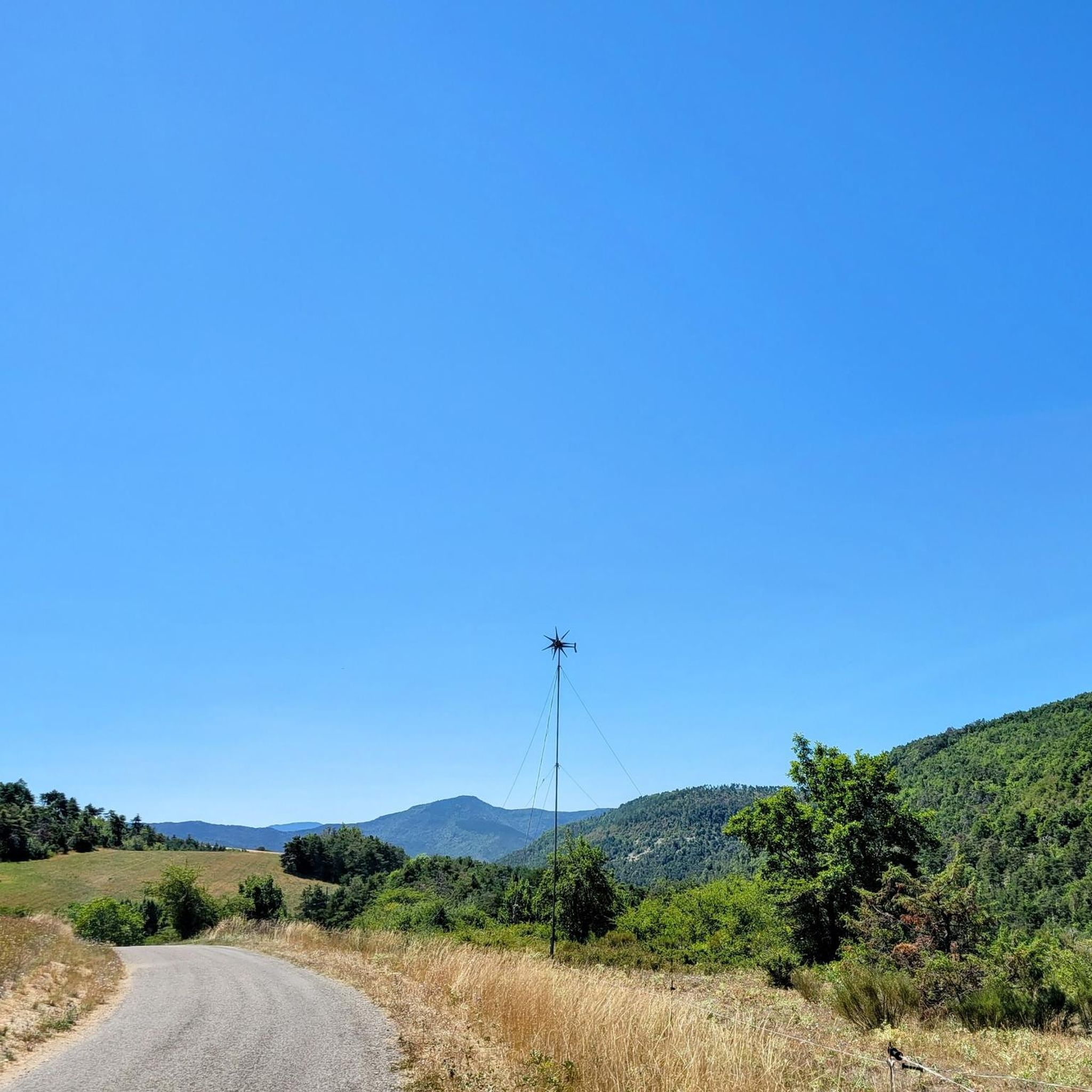
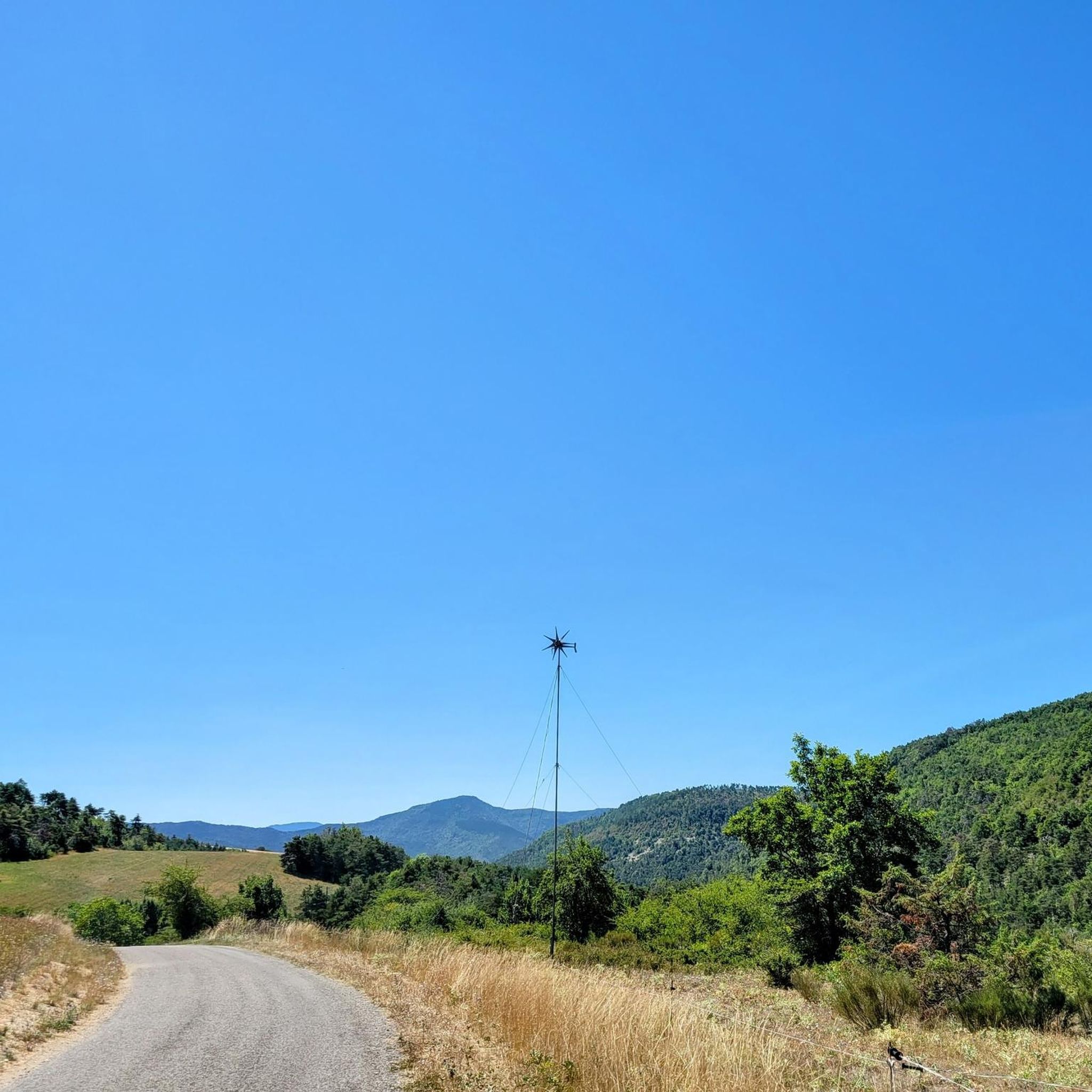
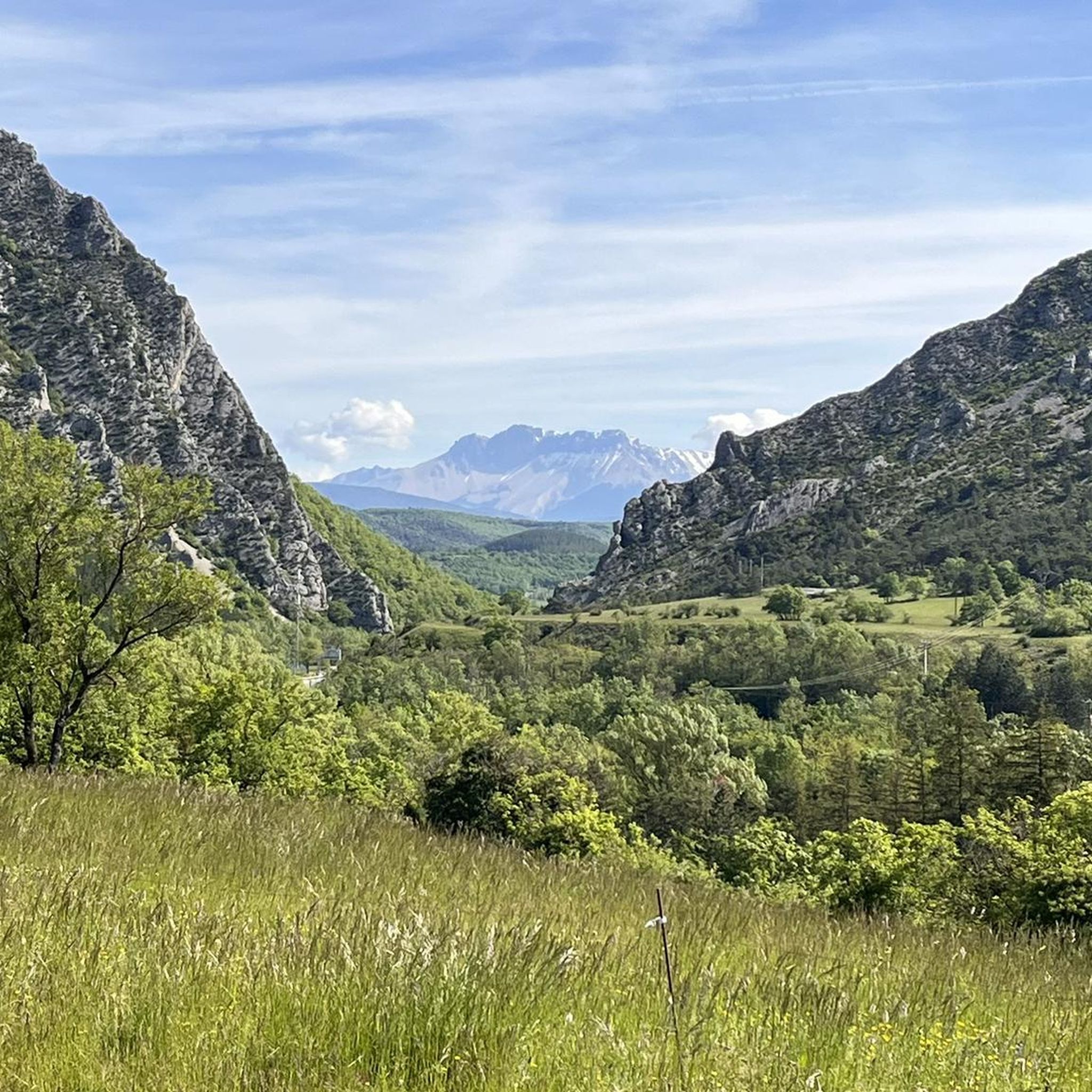
Much better alternative than the main road from the Drôme towards Gap. Almost no traffic, on average 4-5% on both sides, but short stretches also 7-8%. On the south side beautiful rock formations and gorge, north side less spectacular, more between trees.
3
0

Interesting rock formation.
0
0
A little refreshment for the climb.
0
0

Behind the media library, below, there is a wooden covered courtyard to protect against bad weather. The media library is located opposite the washhouse and public toilets. We can greatly thank the town hall of Montmorin for leaving this space at our disposal. Be careful to respect the place and the neighborhood by remaining discreet and clean. There are even benches, a sink, tables, ... A real little place to rest
2
0

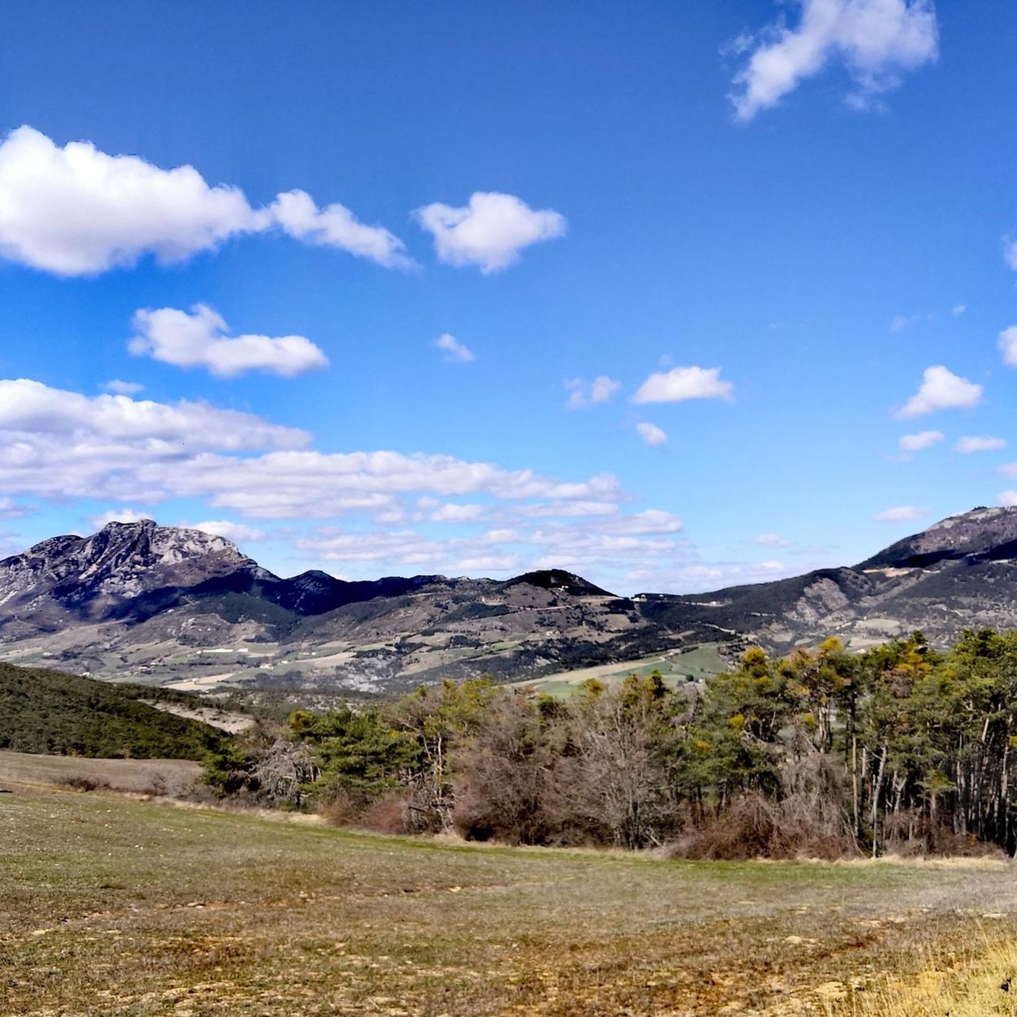
Very beautiful panorama on the Hautes Alpes side
3
0
Frequently Asked Questions
How many touring cycling routes are available in L'Épine?
There are 38 touring cycling routes around L'Épine listed on komoot. These routes cater to various skill levels, with a focus on mountainous terrain.
What kind of terrain can I expect when touring cycling around L'Épine?
The touring cycling routes around L'Épine are characterized by mountainous terrain, featuring significant elevation changes and scenic passes. You can expect routes through forested areas and valleys, providing views of surrounding peaks like Mount Charvin and the Aiguilles du Mont. The region is well-suited for those seeking more demanding touring cycling experiences.
Are there routes suitable for beginners or those looking for an easier ride?
While the region is known for its challenging terrain, there are 16 moderate routes available. These routes still feature climbs but are less demanding than the difficult options. For example, the Saint-André-de-Rosans, Sorbiers et Montjay – loop in the Vallée de l'Eygues is a moderate option with climbs through the Vallée de l'Eygues.
What natural features or landmarks can I see along the touring cycling routes in L'Épine?
Many routes offer views of surrounding peaks such as Le Duffre (Montagne de l'Aup), Chemin Haut de Saumane, and Le Rochasson. You might also encounter mountain passes like Col de Carabès and the scenic Pommerol Gorges.
Are there any historical sites or villages to explore near the cycling routes?
Yes, you can explore historical sites and charming villages. For instance, the La Charce Castle is a notable landmark, and the settlements of Rosans and Serres offer opportunities to experience local culture and history.
What is the best time of year for touring cycling in L'Épine?
Given the mountainous nature of L'Épine, the best time for touring cycling is typically from late spring to early autumn (May to October). During these months, the weather is generally more stable, and mountain passes are clear of snow, offering optimal conditions for challenging ascents and scenic descents.
Are there any particularly challenging touring cycling routes for experienced cyclists?
Absolutely. L'Épine is known for its difficult routes, with 22 classified as such. A challenging option is the View of the Valley Basin – Faye Pass loop from Serres, which covers 51.8 km with significant elevation gain, offering rewarding views for experienced riders.
How long do the touring cycling routes typically take to complete?
The duration of routes varies significantly based on distance and elevation. Moderate routes like the Saint-André-de-Rosans, Sorbiers et Montjay – loop in the Vallée de l'Eygues can take around 1 hour 30 minutes, while more difficult and longer routes, such as the Col de Carabès – Route de Sigottier loop from Serres, can take over 6 hours.
What do other touring cyclists say about the routes in L'Épine?
The touring cycling routes in L'Épine are highly rated by the komoot community, with an average score of 4.5 stars from over 50 reviews. Cyclists often praise the challenging ascents, rewarding descents, and the stunning views of the mountainous landscape.
Are there any circular touring cycling routes in L'Épine?
Yes, many of the touring cycling routes in L'Épine are designed as loops, allowing you to start and finish at the same point. Examples include the Saint-André-de-Rosans, Sorbiers et Montjay – loop in the Vallée de l'Eygues and the Col de Rossas – La Charce Castle loop from Station de Valdrôme.
Can I find routes that follow river valleys?
While the region is predominantly mountainous, some routes incorporate river valleys. For instance, the Gravel along the river loop from Serres offers a different experience, following a river for part of its course, providing a contrast to the higher mountain passes.
Are the touring cycling routes in L'Épine suitable for families?
Given the mountainous terrain and significant elevation changes, many routes in L'Épine are more suited for experienced cyclists. However, families with older children who are comfortable with climbs and longer distances might find some moderate routes enjoyable. It's advisable to check the difficulty and elevation profile of specific routes before setting out.
Where can I find parking near the touring cycling routes in L'Épine?
Many touring cycling routes in L'Épine start from towns or villages like Serres or Station de Valdrôme, where public parking options are generally available. It's recommended to check the starting point of your chosen route on komoot for specific parking information, as details can vary.
Most popular attractions around L'Épine

Get inspired with the komoot mobile app


Explore more
Browse the best Cycling routes in other regions.
