The best walks and hikes around Montmorin
4.3
(126)
669
hikers
65
hikes
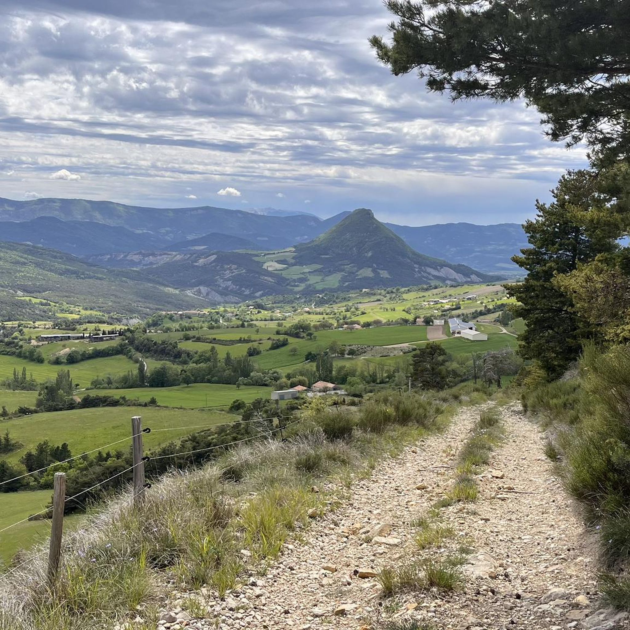
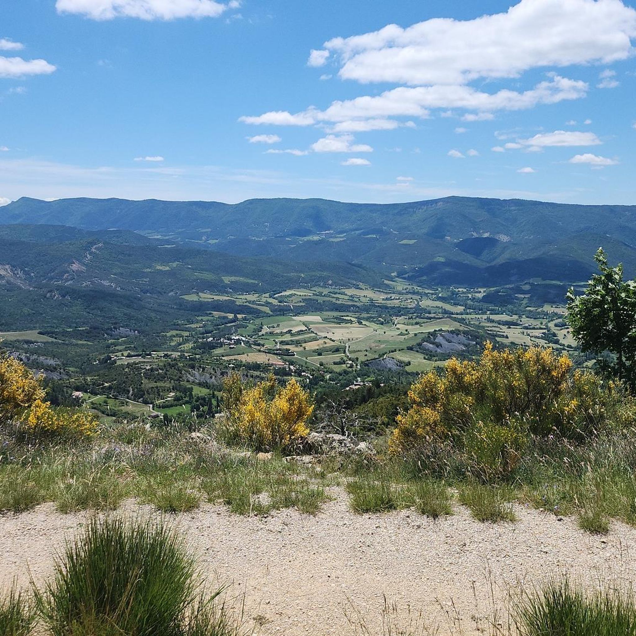
Hiking around Montmorin offers access to the mountainous terrain of the Southern French Alps, with elevations ranging from 719 to 1564 meters. The region is characterized by its natural environment, providing numerous itineraries for exploration. Hikers can experience the picturesque character of the area, which includes historic structures and natural features typical of high mountain landscapes.
Best hiking trails around Montmorin
- The most popular hiking route is Montagne de Raton – loop in the Parc naturel régional des Baronnies provençales…
Last updated: July 8, 2026
4.8
(5)
32
hikers
10.7km
03:32
450m
450m
Moderate hike. Good fitness required. Mostly accessible paths. Sure-footedness required.
4.8
(6)
26
hikers
12.0km
04:04
560m
560m
Moderate hike. Good fitness required. Mostly accessible paths. Sure-footedness required.

Sign up for free
4.5
(4)
18
hikers
Moderate hike. Good fitness required. Mostly accessible paths. Sure-footedness required.
5.0
(1)
12
hikers
30.0km
09:43
1,330m
1,330m
Hard hike. Very good fitness required. Easily-accessible paths. Suitable for all skill levels.
5.0
(1)
4
hikers
Moderate hike. Good fitness required. Mostly accessible paths. Sure-footedness required.
Get access to more routes and recommendations from other explorers.
Sign up for free
Already have an account?
Our route recommendations are based on thousands of hikes, rides, and runs completed by other people on komoot.
Start today with a free account
Your next adventure awaits.
Login or Signup
Popular around Montmorin
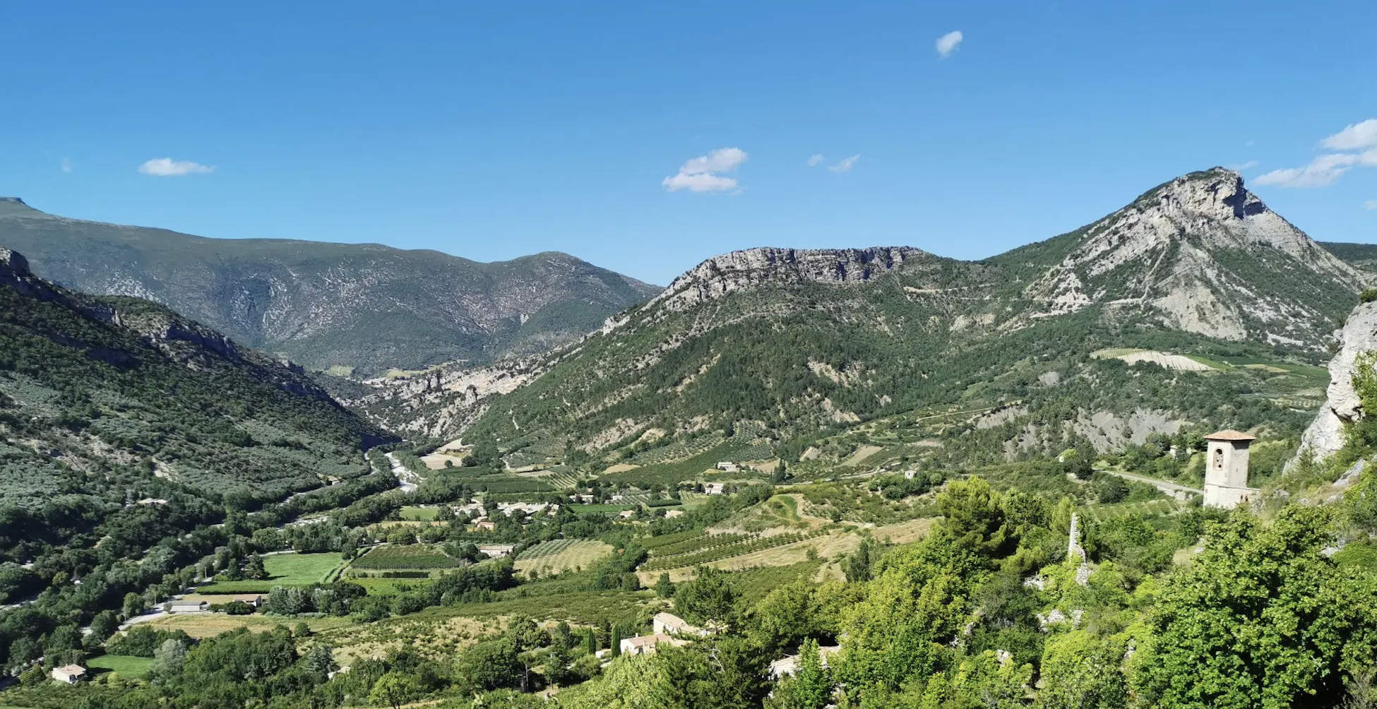
In the shadow of vultures – Tour des Baronnies Provençales
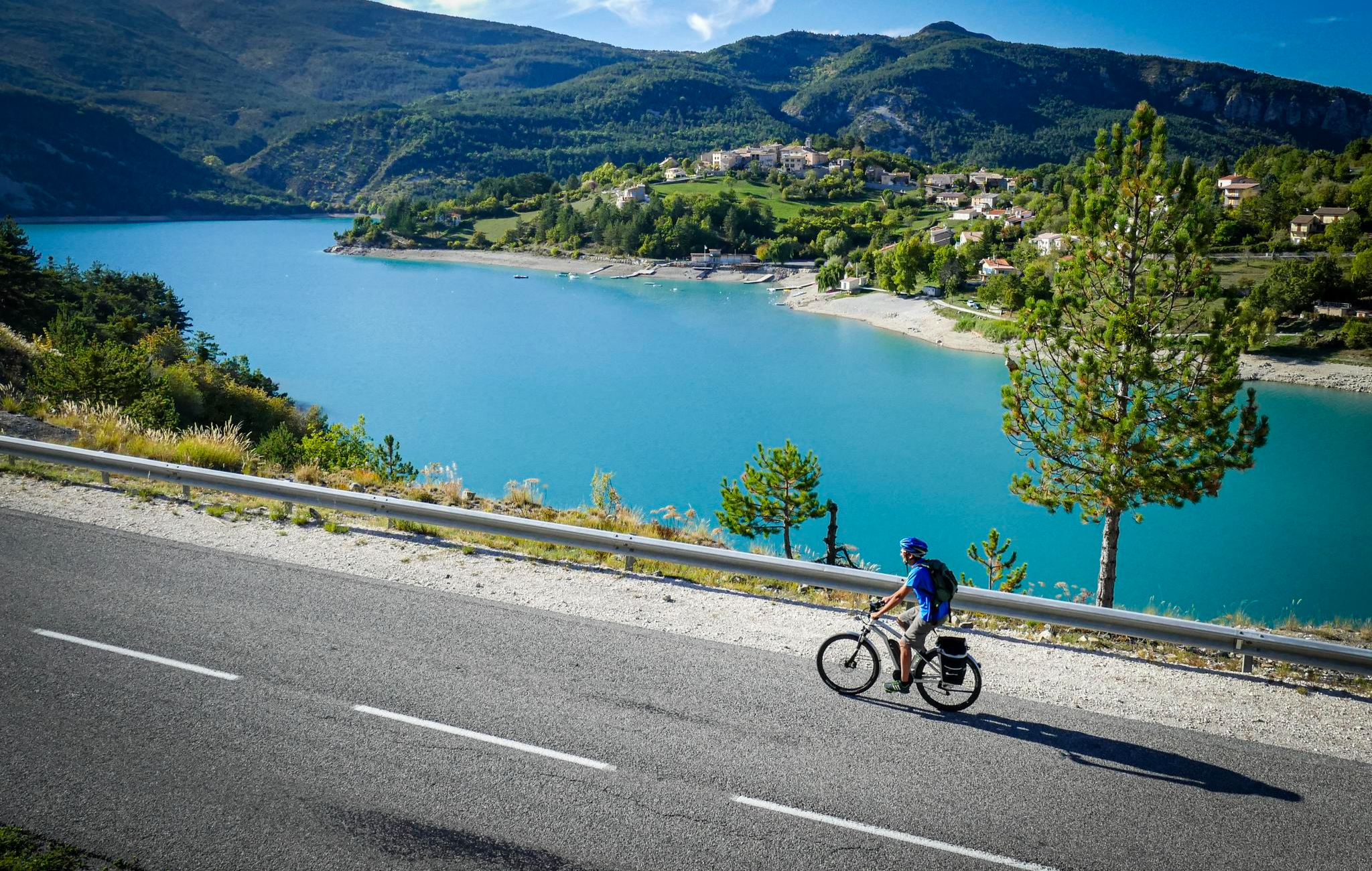
P'tites Routes du Soleil (Little Routes of the Sun)
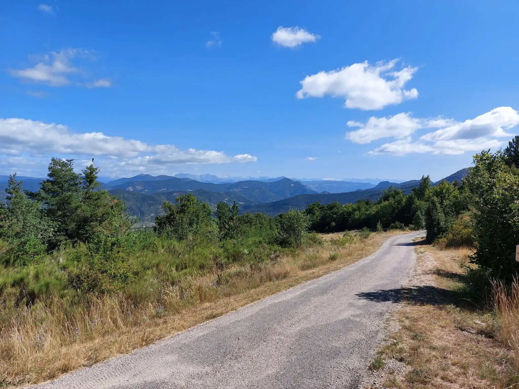
P'tites Routes du Soleil – crossing the pre-Alps from Lake Geneva to Nice
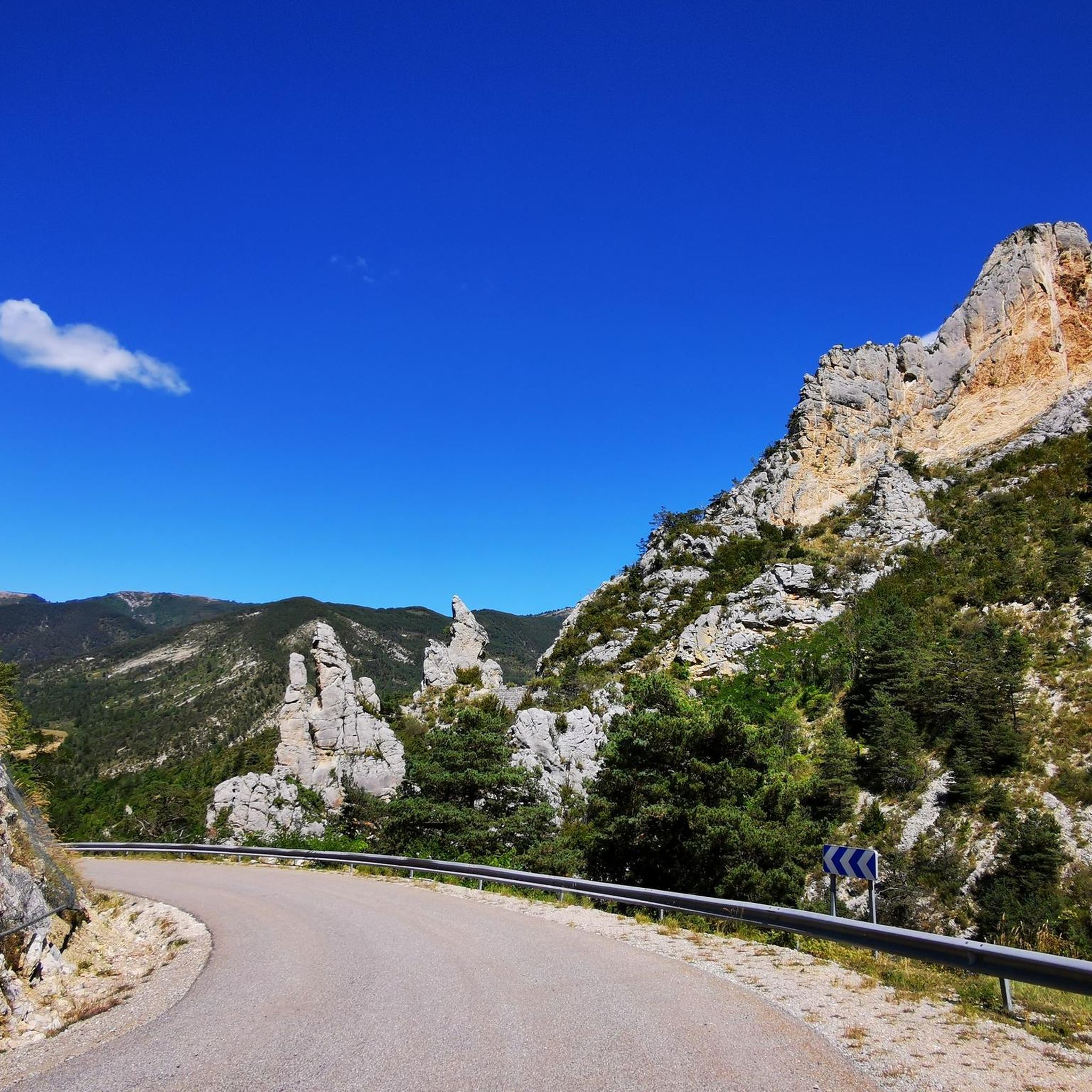
Road Cycling Routes around Montmorin
MTB Trails around Montmorin
Cycling around Montmorin
Running Trails around Montmorin
Other adventures around Montmorin


Tips from the Community

Pass easily accessible by mountain bike.
0
1
Magnificent region. I recommend the guest rooms at the Château de Rosans.
0
0

During the descent, a view of the medieval town of Rosans with its square tower, church and chateau. Worth visiting the old town.
0
0

This beautiful, unguarded wooden cabin is made up of 2 fixed tables downstairs and a bed upstairs. It is located at the edge of the path and is an ideal shelter to spend the night.
0
0
The Col de l'Archimbaou is located at an altitude of 1,084 meters. The forest track which serves the pass is easily accessible.
2
0
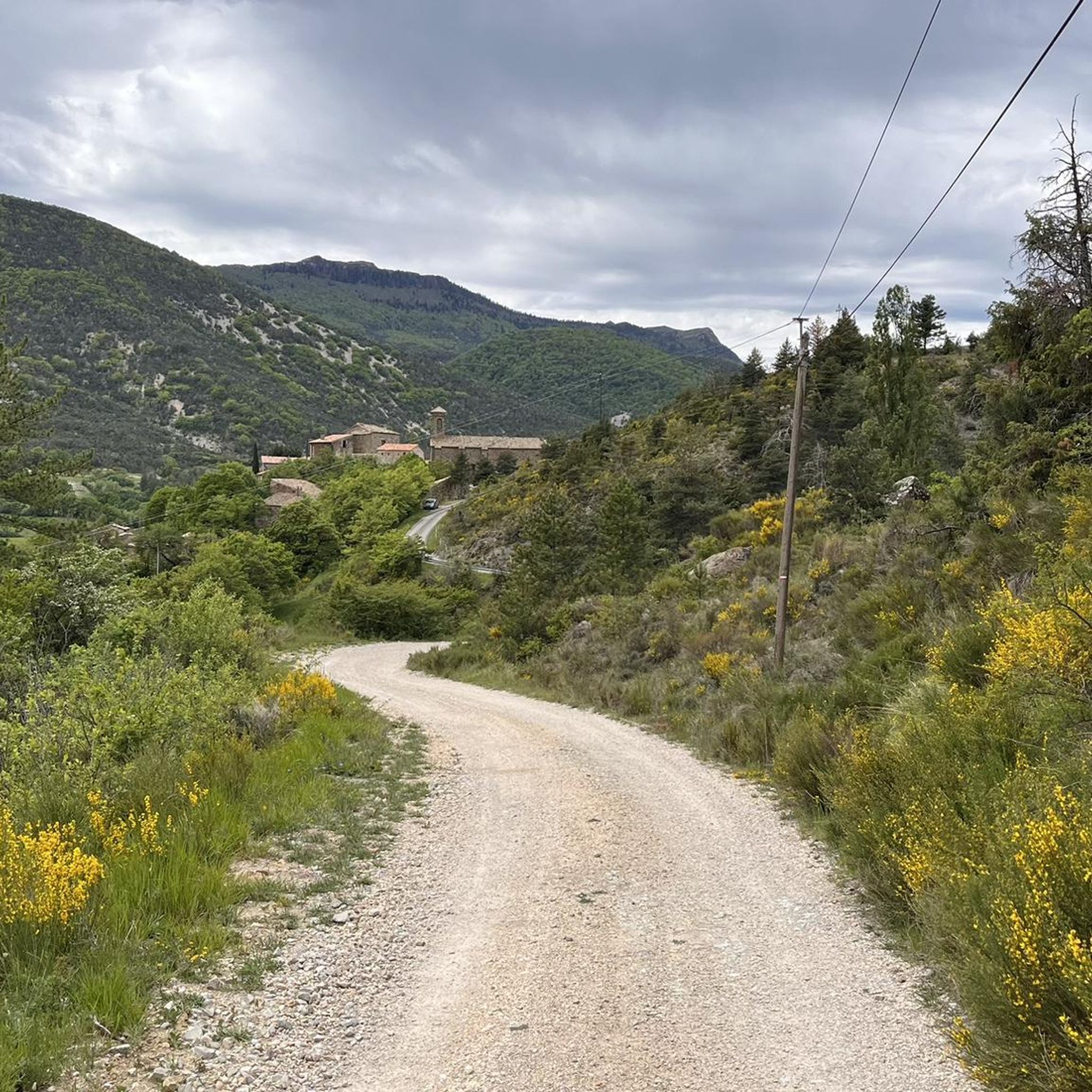
Montmorin is a pretty perched village, built in tiers on the foothills of the Duffre mountain. Beautiful stones adorn its facades.
0
0
The medieval village of Rosans reveals beautiful ocher-colored stones and old Roman tile roofs. Entrance into the village is under an arched door. You discover its impressive square tower. Built in the 13th century in stones cut into diamond points, it is still in perfect state of conservation.
3
0

Small fortified village in the Hautes-Alpes, in the heart of the Baronnies provençales. Surrounded by greenery, with houses with ocher facades and roofs of small tiles, covered passages and an old Saracen Tower.
1
0
Frequently Asked Questions
How many hiking trails are available around Montmorin?
There are over 60 hiking trails around Montmorin, offering a wide range of options for exploring the mountainous terrain of the Southern French Alps. These routes are highly rated by the komoot community, with an average score of 4.4 stars.
What kind of terrain can I expect when hiking near Montmorin?
Hiking near Montmorin, located in the Southern French Alps, involves mountainous terrain with elevations ranging from 719 to 1564 meters. You can expect varied landscapes, including high mountain features, and the region is known for its unspoiled natural environment.
What are the difficulty levels of hikes in the Montmorin area?
The Montmorin area offers a range of difficulties. You'll find 8 easy routes, 47 moderate routes, and 12 difficult routes. This variety ensures options for different fitness levels and hiking experiences.
Are there any circular hiking routes around Montmorin?
Yes, many of the trails around Montmorin are circular. Popular options include Montagne de Raton – loop in the Parc naturel régional des Baronnies provençales, The Crests of la Sarcena – loop, and Le Duffre loop, allowing you to start and finish at the same point.
What do other hikers say about the trails around Montmorin?
The trails around Montmorin are highly regarded by the komoot community, with an average rating of 4.4 stars from over 120 reviews. Hikers often praise the diverse terrain and the stunning views of the Southern French Alps.
Are there family-friendly hiking options in Montmorin?
Yes, there are 8 easy routes around Montmorin that are suitable for families or those looking for a less strenuous walk. These trails typically have lower elevation gains and shorter distances, making them ideal for a leisurely outing.
Can I bring my dog on the hiking trails near Montmorin?
Generally, dogs are welcome on most hiking trails in the Montmorin area, especially if kept on a leash. However, it's always advisable to check specific trail regulations or local signage, particularly in protected natural areas, to ensure compliance.
What are some notable landmarks or natural features to see while hiking in Montmorin?
While hiking around Montmorin, you can explore several interesting features. The region is known for its picturesque character, including historic structures. You might encounter mountain passes like Col de Carabès or summits such as Montagne de Raton, offering panoramic views.
What is the best time of year for hiking in Montmorin?
The best time for hiking in Montmorin, given its mountainous Southern French Alps location, is typically from late spring to early autumn (May to October). During these months, the weather is generally milder, and trails are more accessible, avoiding heavy snow or extreme winter conditions.
What is the GR91 trail, and does it pass through Montmorin?
The GR91 is a significant long-distance hiking trail in France, and it does indeed pass through the Montmorin area. This offers hikers the opportunity to experience a section of this renowned route, known for its scenic beauty and challenging sections through the Southern French Alps.
Are there any castles or historic sites to explore near Montmorin?
Yes, the Montmorin area has a rich history. You can find historic structures within the village itself, and nearby attractions include La Charce Castle, offering insights into the region's past.
What kind of elevation gain should I expect on Montmorin hikes?
Hikes around Montmorin, being in a mountainous region, often involve significant elevation gain. For example, the Montagne de Raton loop has an elevation gain of 385 meters, while the Le Duffre loop features an ascent of 561 meters. Prepare for climbs that reward you with stunning views.
Most popular attractions around Montmorin

Get inspired with the komoot mobile app


Explore more
Browse the best Hikes in other regions.
