The best walks and hikes around Saint-Révérien
4.4
(89)
437
hikers
49
hikes
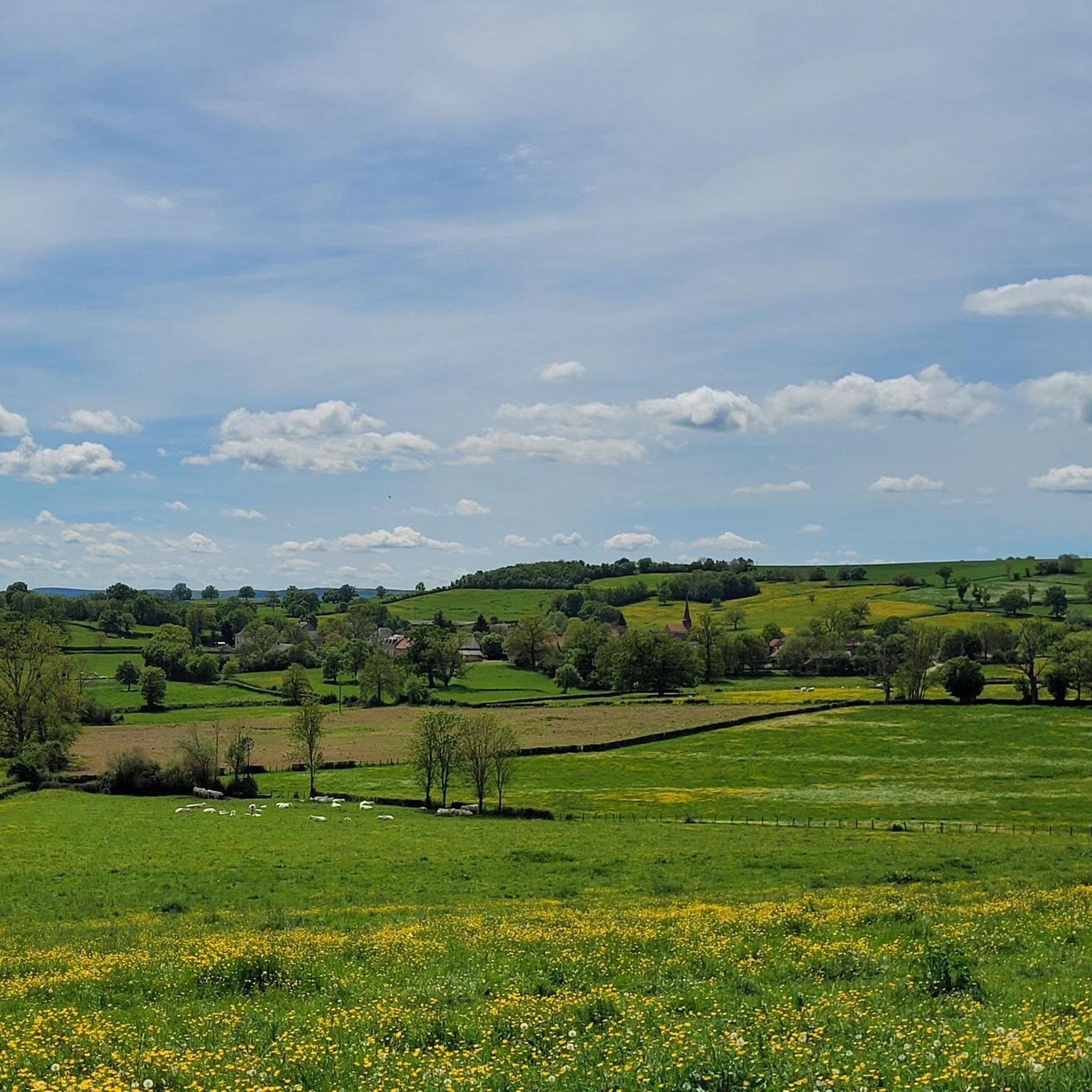
Hiking around Saint-Révérien offers routes through a landscape characterized by gentle hills, agricultural land, and several ponds and historical sites. The region features a mix of open countryside and wooded sections, providing varied scenery for outdoor activities. Elevation changes are generally moderate, with some routes featuring more significant climbs. The area is suitable for exploring local heritage and natural features on foot.
Best hiking trails around Saint-Révérien
- The most popular hiking route is Compierre Site Loop, a 7.6 miles…
Last updated: July 2, 2026
3.0
(3)
7
hikers
12.2km
03:11
80m
80m
Moderate hike. Good fitness required. Easily-accessible paths. Suitable for all skill levels.
4.4
(8)
40
hikers
10.1km
02:44
140m
140m
Moderate hike. Good fitness required. Easily-accessible paths. Suitable for all skill levels.

Sign up for free
5.0
(4)
30
hikers
10.4km
02:49
150m
150m
Moderate hike. Good fitness required. Easily-accessible paths. Suitable for all skill levels.
5.0
(4)
33
hikers
Easy hike. Great for any fitness level. Easily-accessible paths. Suitable for all skill levels.
5.0
(2)
6
hikers
6.06km
01:43
120m
120m
Easy hike. Great for any fitness level. Easily-accessible paths. Suitable for all skill levels.
Get access to more routes and recommendations from other explorers.
Sign up for free
Already have an account?
Our route recommendations are based on thousands of hikes, rides, and runs completed by other people on komoot.
Start today with a free account
Your next adventure awaits.
Login or Signup
Tips from the Community

Well-preserved Roman settlement.
0
0

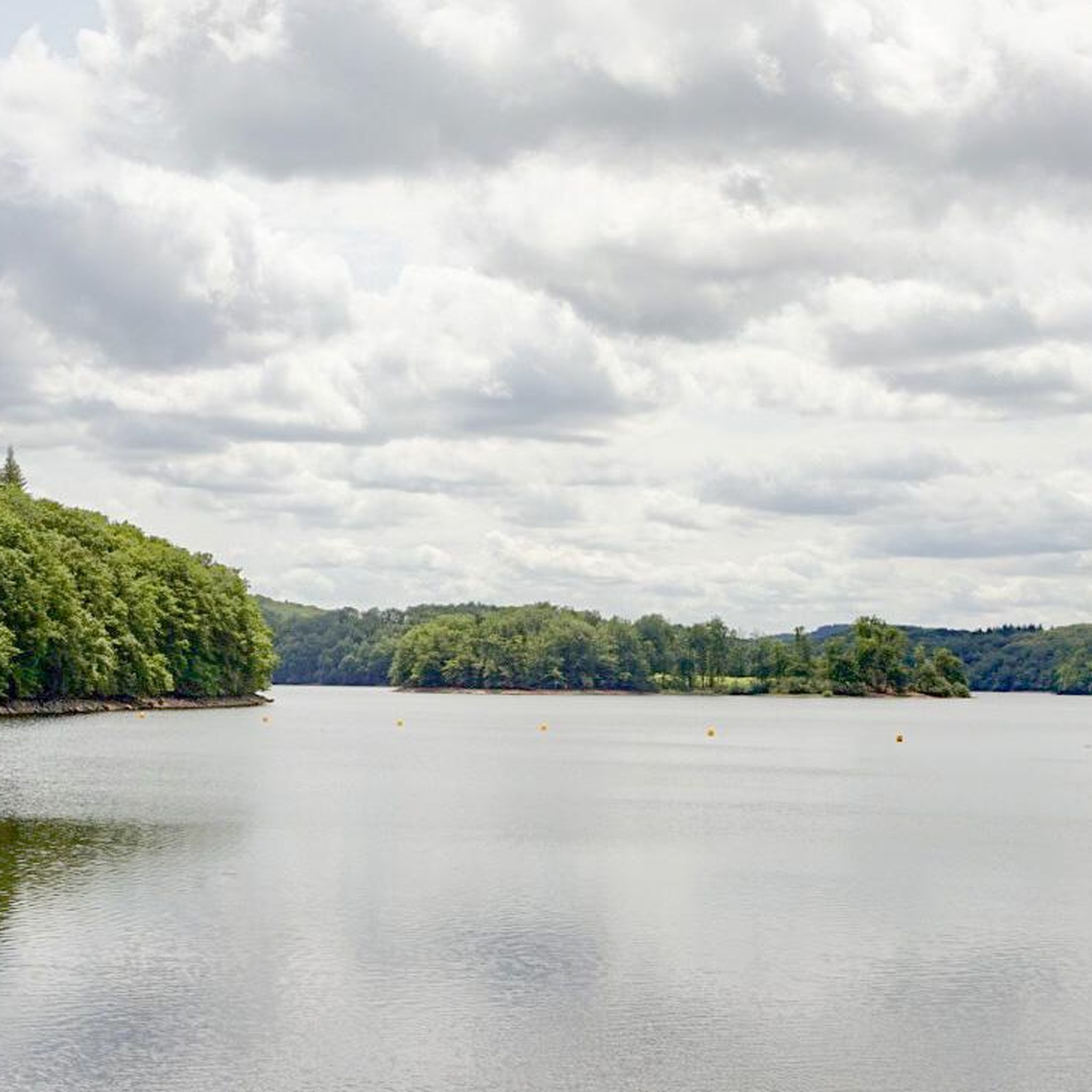
A protected and wild setting of 17 ha. There is a campsite, a sandy beach, and swimming is supervised in July and August. Rental of canoes and kayaks, pedal boats are available for rental. There is also a snack bar open in high season. A nice place for a break.
1
0

A walk around this lake is a pleasure with its green, grassy shores and the town of Montenoison on the hill in the distance.
2
0
The Gallo-Roman site of Compierre is a set of ruins of a city which saw its disappearance towards the end of the 4th century. There are the remains of a theater, a curious octagonal temple and a few shops. The site was located along a Roman road linking Autun to Entrains-sur-Nohain. The Romain Rolland Museum of Art and History in Clamecy presents the excavations carried out on the site. You can walk around the site where there is plenty of shade on hot days.
2
0

Nice quiet reservoir with swimming area and campsite
0
0
Frequently Asked Questions
How many hiking trails are available around Saint-Révérien?
There are nearly 50 hiking routes around Saint-Révérien, offering a wide range of options for different skill levels and interests.
What types of terrain can I expect on hikes in Saint-Révérien?
The region features a mix of open countryside, gentle hills, and wooded sections. You'll also find routes passing by agricultural land, tranquil ponds, and historical sites, providing varied scenery.
Are there easy hiking trails suitable for beginners or families in Saint-Révérien?
Yes, Saint-Révérien offers 24 easy hiking routes. A great option for a relaxed stroll is the Étang du Merle – Merle Pond loop from Snack du camping de l'étang du merle, which is just over 2 km long and features minimal elevation changes.
Can I find circular walking routes in Saint-Révérien?
Many of the trails around Saint-Révérien are circular, allowing you to start and end at the same point. Examples include the Compierre Site Loop and the Saint-Révérien — Cluny site – La Bouille Pond loop from Saint-Révérien.
What are some interesting landmarks or attractions to see while hiking in the area?
Hiking in Saint-Révérien allows you to explore several points of interest. You might encounter historical sites like Château d'Arthel or La Motte Castle, and enjoy natural beauty at Baye Pond or La Bouille Pond.
Are there any more challenging or difficult hikes around Saint-Révérien?
Yes, for those seeking a greater challenge, there are 3 difficult routes available. One such trail is the Pilgrim accommodation – Prémery Castle loop from Oulon, which spans over 28 km and features significant elevation changes.
What do other hikers enjoy most about the trails in Saint-Révérien?
The trails in Saint-Révérien are highly rated by the komoot community, with an average score of 4.4 stars from over 90 reviews. Hikers often praise the varied terrain, the tranquility of the ponds, and the historical landmarks encountered along the way.
Are there any routes that feature ponds or water views?
Absolutely. Several routes incorporate the region's tranquil ponds. The La Bouille Pond – Saint-Révérien — Cluny site loop from Champallement is a great example, offering scenic pond views alongside historical points of interest.
What is the typical duration for a moderate hike in Saint-Révérien?
Moderate hikes in Saint-Révérien typically range from 2.5 to 3.5 hours. For instance, the Compierre Site Loop is about 3 hours and 11 minutes, while the Saint-Révérien — Cluny site – La Bouille Pond loop from Saint-Révérien takes approximately 2 hours and 49 minutes.
Is the area suitable for exploring local heritage on foot?
Yes, the hiking routes are designed to allow exploration of local heritage. Many trails pass by historical sites and offer insights into the region's past, blending natural beauty with cultural interest.
What kind of elevation changes can I expect on the trails?
Elevation changes in Saint-Révérien are generally moderate, with some routes featuring more significant climbs. The landscape is characterized by gentle hills, making most trails accessible while still offering some varied topography.
Most popular attractions around Saint-Révérien

Get inspired with the komoot mobile app


Explore more
Browse the best Hikes in other regions.
