The best cycling routes around Méneslies
4.3
(986)
6,039
riders
231
rides
Touring cycling routes around Méneslies offer access to diverse landscapes, from coastal cliffs to verdant woodlands. The region features an elevation range from 55m to 124m, providing varied terrain for cyclists. Proximity to the Ault Chalk Cliffs and the Baie de Somme characterizes the area, with routes often presenting coastal vistas and natural ecosystems. This geographical position allows for exploration of both the dramatic coastline and more sheltered inland paths.
Best touring cycling routes around Méneslies
- The most popular touring…
Last updated: June 26, 2026
4.5
(41)
197
riders
20.7km
01:18
90m
90m
Easy bike ride. Great for any fitness level. Mostly paved surfaces. Suitable for all skill levels.
4.3
(11)
39
riders
Moderate bike ride. Good fitness required. Mostly paved surfaces. Suitable for all skill levels.

Sign up for free
4.0
(2)
14
riders
42.8km
02:52
320m
320m
Moderate bike ride. Good fitness required. Mostly paved surfaces. Suitable for all skill levels.
5.0
(1)
26
riders
Easy bike ride. Great for any fitness level. Mostly paved surfaces. Suitable for all skill levels.
5.0
(1)
6
riders
25.9km
01:37
170m
170m
Moderate bike ride. Good fitness required. Mostly paved surfaces. Suitable for all skill levels.
Get access to more routes and recommendations from other explorers.
Sign up for free
Already have an account?
Our route recommendations are based on thousands of hikes, rides, and runs completed by other people on komoot.
Start today with a free account
Your next adventure awaits.
Login or Signup

Tips from the Community

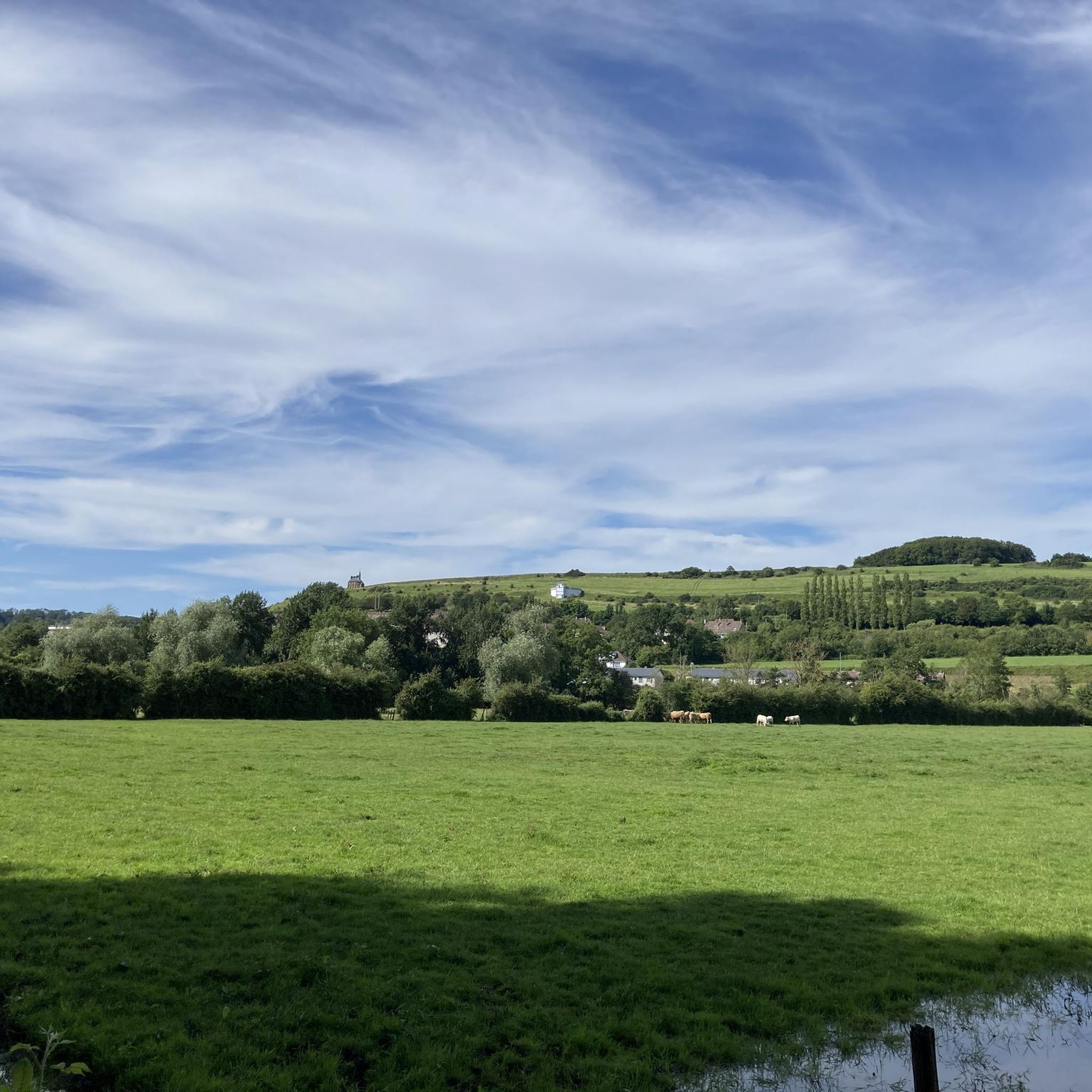
This cycle path leads from the sea to the glassworks, always along small lakes and the river.
0
0
Next to the chateau there is a beautiful garden
0
0


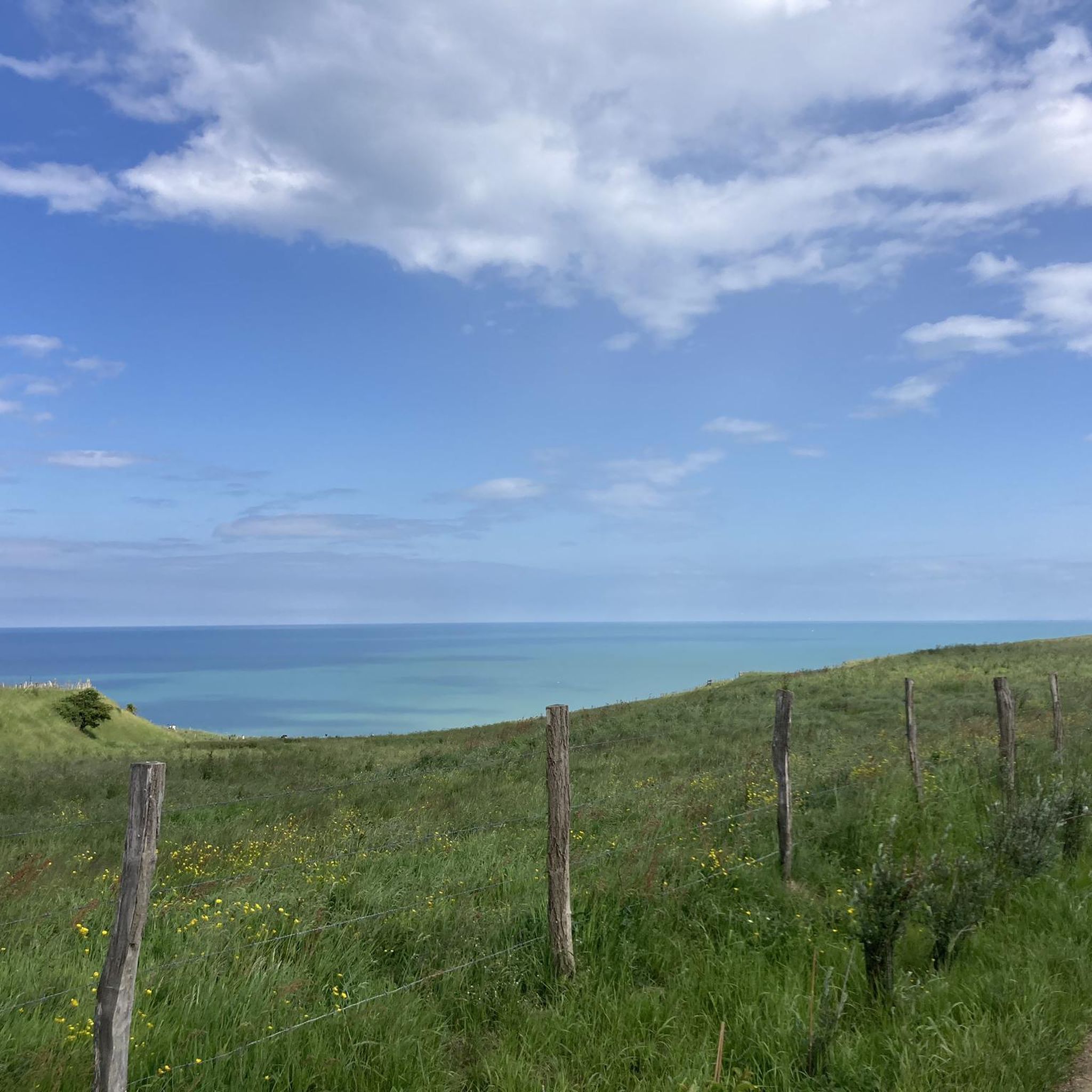
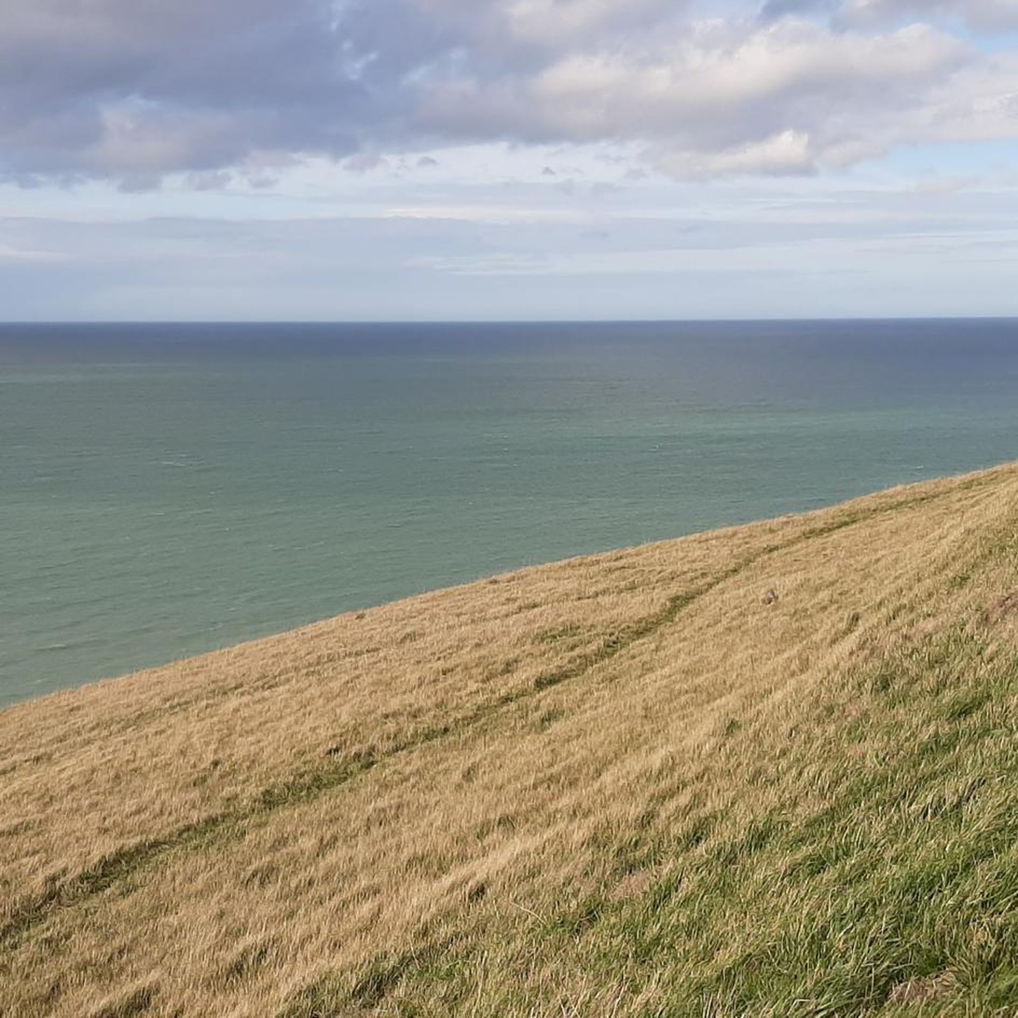
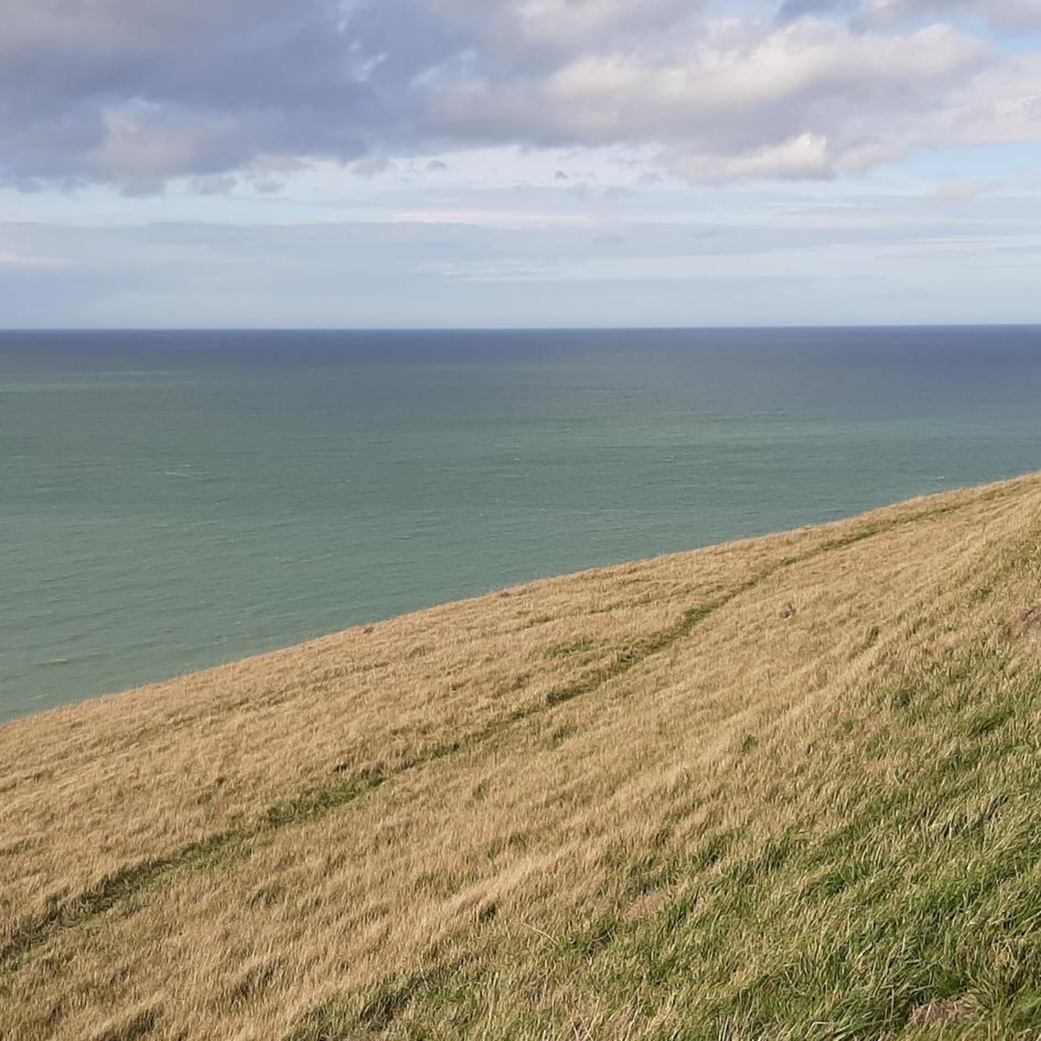
The cliffs are made of chalk and are impressive to look at.
3
0
Here in Ault begin the chalk cliffs, which stretch all the way to Normandy and repeatedly appear as enormous cliffs.
4
0

The cliffs around the beach of Ault are composed of chalk from the Upper Cretaceous, more precisely from the Turonian and Coniacian (around 83 million years ago to 90 million years ago). They are strewn with flint nodules which highlight the subhorizontal stratification planes (the formation of flint has already been discussed in Discovery of the geology of the cliffs of Étretat, presentation of an excursion from the beach of Tilleul (Antifer) to the Porte d'Amont (Étretat Nord)). The relative proportion of chalk and flint is around 90-95% chalk to 5-10% flint. Flint horizons are stratigraphic markers. On the cliffs of Ault, the regular flint band called Seven Sisters is recognizable and characterizes the boundary between the Middle Coniacian and the Upper Coniacian (around 87 million years ago). The boundary between the lower and middle Coniacian is marked by the Shoreham 2 marl level, which is more difficult to identify. These lithostratigraphic markings allow in particular the correlation of distant deposits, such as between the Normandy and Picardy coasts, or between the French and English coasts.
3
0
The cliffs around the beach of Ault are composed of chalk from the Upper Cretaceous, more precisely from the Turonian and Coniacian (around 83 million years ago to 90 million years ago). They are strewn with flint nodules which highlight the subhorizontal stratification planes (the formation of flint has already been discussed in Discovery of the geology of the cliffs of Étretat, presentation of an excursion from the beach of Tilleul (Antifer) to the Porte d'Amont (Étretat Nord)). The relative proportion of chalk and flint is around 90-95% chalk to 5-10% flint. Flint horizons are stratigraphic markers. On the cliffs of Ault, the regular flint band called Seven Sisters is recognizable and characterizes the boundary between the Middle Coniacian and the Upper Coniacian (around 87 million years ago). The boundary between the lower and middle Coniacian is marked by the Shoreham 2 marl level, which is more difficult to identify. These lithostratigraphic markings allow in particular the correlation of distant deposits, such as between the Normandy and Picardy coasts, or between the French and English coasts.
2
0

There is a lot to do in Ault, a small town on the cliffs in France.
0
0
Frequently Asked Questions
How many touring cycling routes are available around Méneslies?
There are over 200 touring cycling routes around Méneslies, offering a wide variety of options for different skill levels and preferences. This includes 61 easy routes, 117 moderate routes, and 38 difficult routes.
What kind of terrain and elevation can I expect on touring cycling routes near Méneslies?
The region around Méneslies features varied terrain, with elevations ranging from 55m to 124m. You can expect routes that traverse dramatic chalk cliffs, offer coastal views, and lead through verdant woodlands. Some routes, like the difficult Architecture balnéaire – View over the cliffs loop from Yzengremer, involve significant climbs, while easier options like Notre-Dame and Saint-Laurent – Eu Castle loop from Oust-Marest have more gentle ascents.
Are there any family-friendly touring cycling routes in the Méneslies area?
Yes, there are numerous easy routes suitable for families. For instance, the Notre-Dame and Saint-Laurent – Eu Castle loop from Oust-Marest is an easy 20 km trail that explores the area around Eu Castle, making it a good option for a family outing. Another easy route is the Architecture balnéaire – Normandy loop from Saint-Quentin-la-Motte-Croix-au-Bailly, which is just over 13 km and offers pleasant views.
What scenic viewpoints or natural landmarks can I see along the touring cycling routes?
Many routes offer breathtaking views of the English Channel and the dramatic Ault Chalk Cliffs. You can also explore the La Cise Cliff, known for its geological formations. The Bois de Cise provides a verdant contrast with shaded paths. For expansive coastal panoramas, consider a detour to the Le Tréport Funicular, which transports visitors to the city's heights.
Are there any circular touring cycling routes available?
Yes, many routes around Méneslies are designed as loops, allowing you to start and end at the same point. Examples include the challenging Ault viewpoint – Eastern end of Falaises d'Albâtre, Ault coastal panorama loop from Yzengremer, which offers extensive coastal views, and the moderate Church of Dargnies – Parc de la Rue de la Forêt loop from Woincourt.
What attractions or places of interest can I explore near the cycling routes?
Beyond the natural beauty, you can visit the charming coastal towns of Mers-les-Bains and Le Tréport. In Mers-les-Bains, admire the Belle Époque houses and the Roman-Byzantine style Saint Martin's Church. The wider Baie de Somme region, accessible from Méneslies, is also renowned for its diverse ecosystems and nature observation opportunities, with highlights like Marais de Gousseauville and Bouvaincourt-sur-Bresle Ponds.
What do other touring cyclists say about the routes around Méneslies?
The touring cycling routes around Méneslies are highly rated by the komoot community, with an average score of 4.4 stars from over 790 reviews. Cyclists often praise the diverse landscapes, from dramatic cliff views to peaceful woodlands, and the variety of routes catering to different abilities.
Is Méneslies a good base for exploring the Baie de Somme region by bike?
Yes, Méneslies' strategic location provides easy access to the wider Baie de Somme region. While not directly adjacent, it's within reasonable reach, allowing cyclists to extend their tours to explore the Baie's renowned diverse ecosystems, wetlands, and opportunities for nature observation.
Are there any specific cycling paths or dedicated cycleways in the area?
Yes, the region features dedicated cycling paths that enhance the touring experience. For example, you can find the Cycling Path Along the Bresle and Its Lakes and a Cycle route from Le Tréport to Eu, offering pleasant and often traffic-free riding.
What is the best time of year for touring cycling around Méneslies?
The region's coastal and woodland environments are enjoyable throughout much of the year. Spring and autumn offer pleasant temperatures and vibrant scenery, while summer provides longer daylight hours for extended rides. Always check local weather conditions before heading out, especially for coastal routes which can be exposed to winds.
Are there options for longer touring cycling routes?
Yes, for those seeking longer rides, there are several options. Routes like the Architecture balnéaire – View over the cliffs loop from Yzengremer and the Ault viewpoint – Eastern end of Falaises d'Albâtre, Ault coastal panorama loop from Yzengremer are both over 50 km, providing a substantial challenge and extended exploration of the coastal areas.
Most popular routes around Méneslies
Most popular attractions around Méneslies

Get inspired with the komoot mobile app


Explore more
Browse the best Cycling routes in other regions.
