The best walks and hikes in Περιφερειακή Ενότητα Άρτας
4.5
(150)
775
hikers
26
hikes
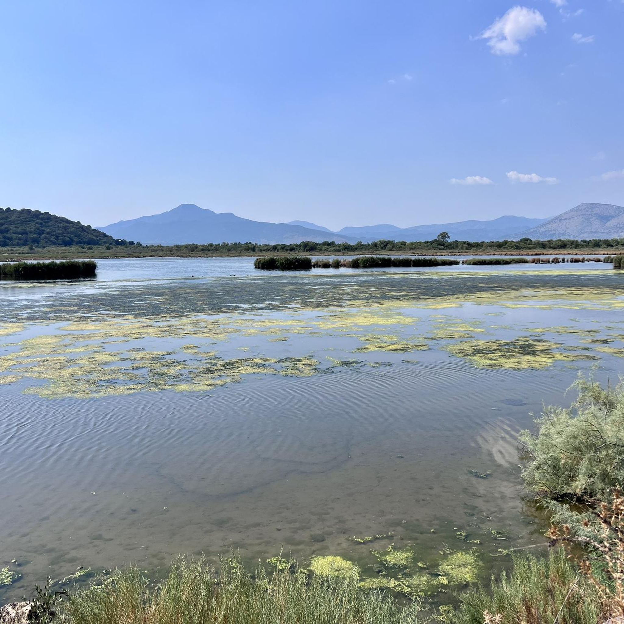
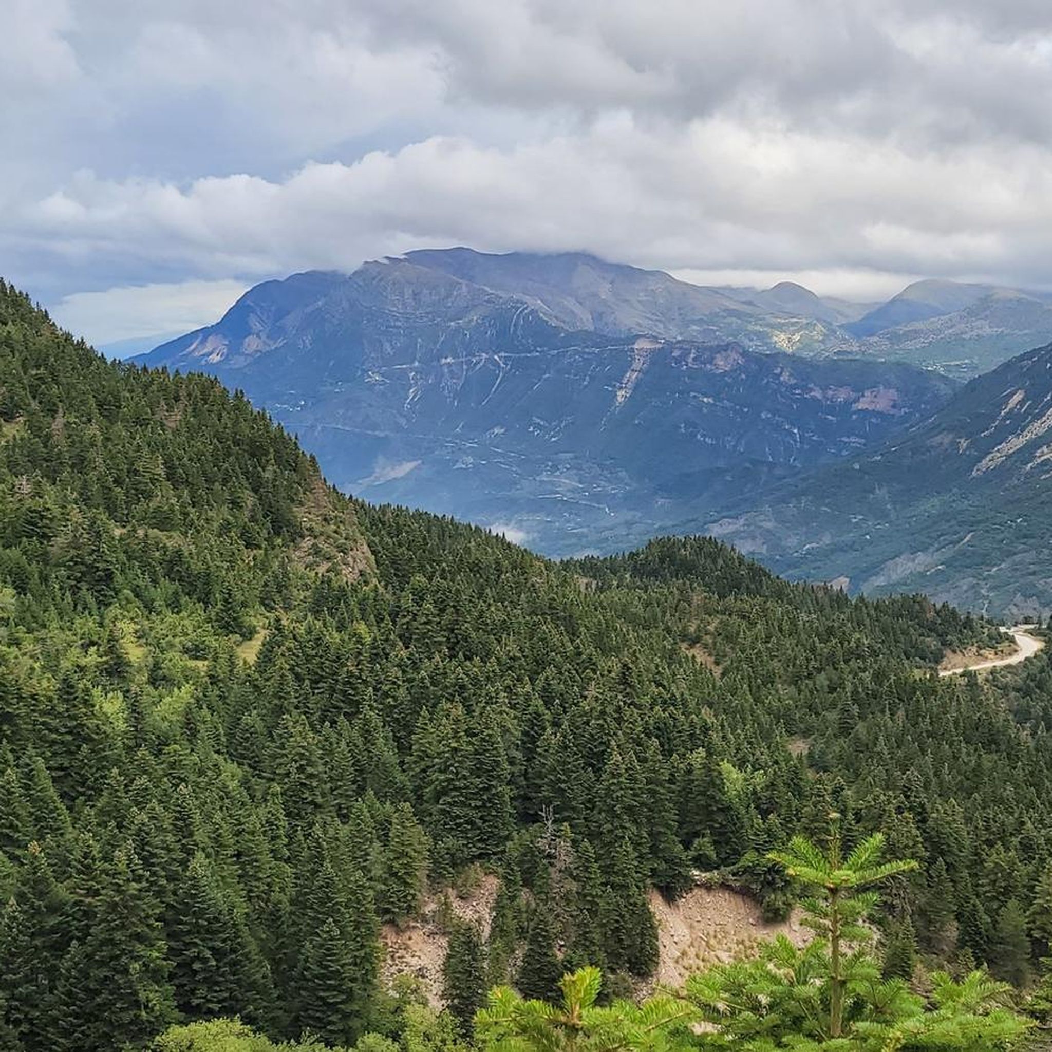
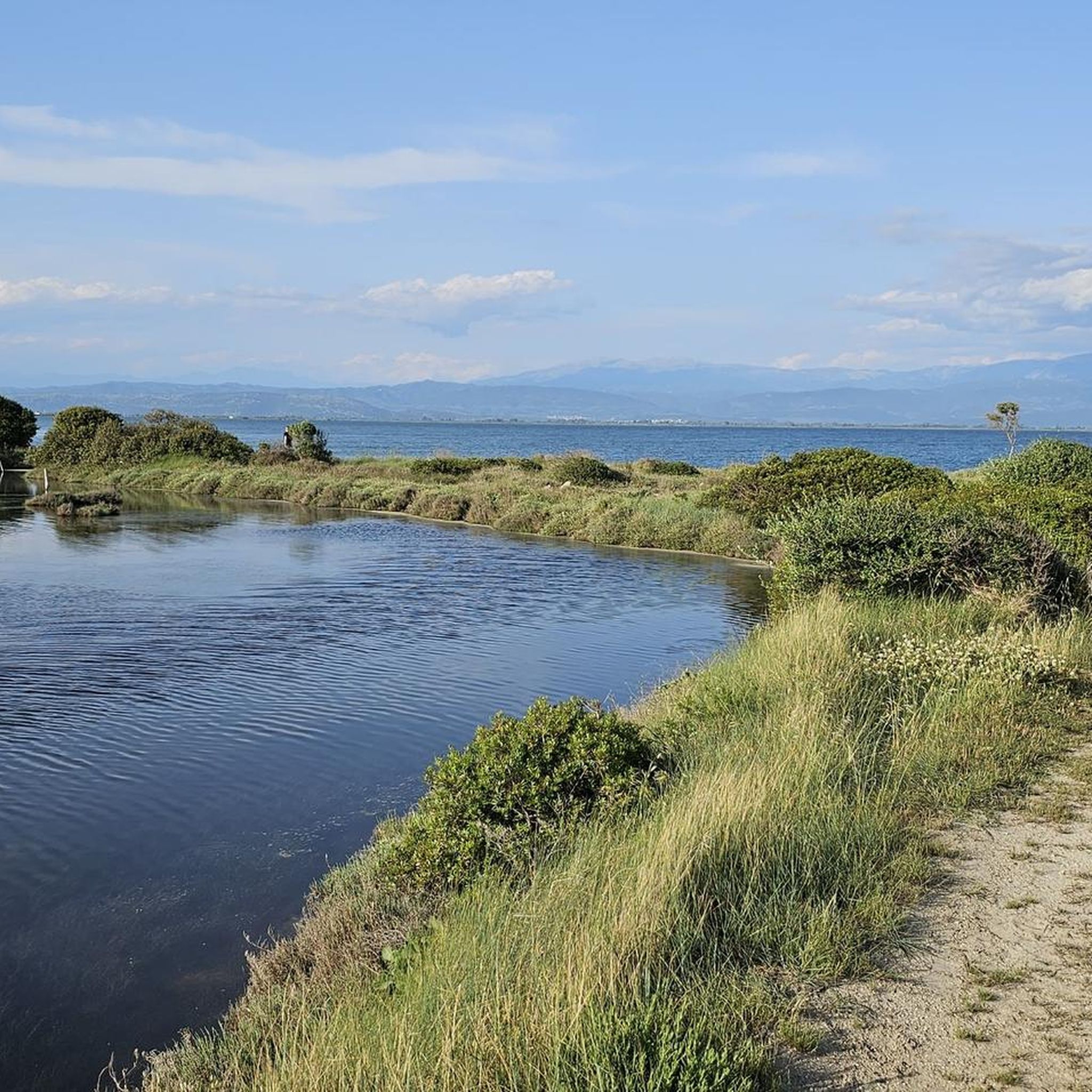
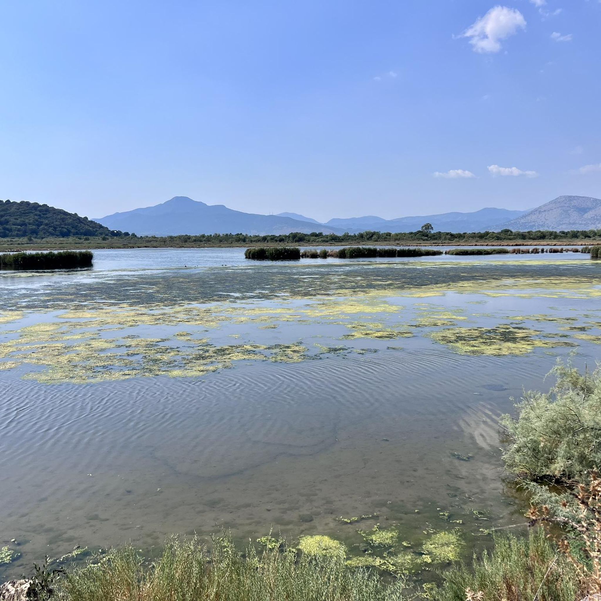
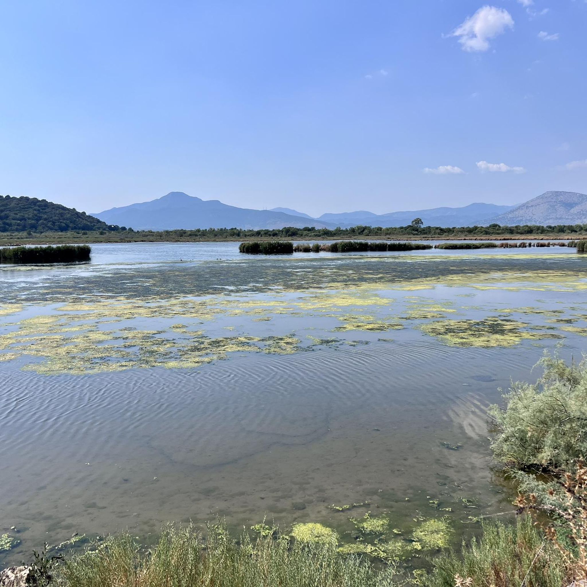
Hiking trails in Περιφερειακή Ενότητα Άρτας traverse a landscape characterized by the mountainous terrain of the Tzoumerka (Athamanika) and Valto ranges, the Arachthos River, and the Ambracian Gulf. The region offers a combination of high peaks, river valleys, and coastal ecosystems. Features include dense forests, gorges, and the artificial Lake Pournariou, providing diverse environments for outdoor activities.
Best hiking trails in Περιφερειακή Ενότητα Άρτας
- The most popular hiking route is View of Mount Lakmos – Waterfall Near Trikala loop from…
Last updated: October 13, 2026
4.8
(13)
53
hikers
7.32km
02:46
480m
480m
Moderate hike. Good fitness required. Easily-accessible paths. Suitable for all skill levels.
5.0
(12)
58
hikers
9.19km
03:55
790m
790m
Moderate hike. Good fitness required. Easily-accessible paths. Suitable for all skill levels.

5.0
(2)
4
hikers
6.96km
02:00
160m
160m
Easy hike. Great for any fitness level. Easily-accessible paths. Suitable for all skill levels.
5.0
(1)
17
hikers
17.2km
07:31
1,190m
1,180m
Hard hike. Very good fitness required. Sure-footedness, sturdy shoes and alpine experience required.
4.0
(1)
7
hikers
13.3km
04:30
700m
700m
Moderate hike. Good fitness required. Easily-accessible paths. Suitable for all skill levels.
9
hikers
Easy hike. Great for any fitness level. Easily-accessible paths. Suitable for all skill levels.
5.0
(1)
9
hikers
6.59km
01:41
30m
30m
Easy hike. Great for any fitness level. Easily-accessible paths. Suitable for all skill levels.
4
hikers
2.86km
00:44
10m
10m
Easy hike. Great for any fitness level. Easily-accessible paths. Suitable for all skill levels.
Get access to more routes and recommendations from other explorers.
Already have an account?
Our route recommendations are based on thousands of hikes, rides, and runs completed by other people on komoot.
Start today with a free account
Your next adventure awaits.
Popular around Περιφερειακή Ενότητα Άρτας

Other adventures in Περιφερειακή Ενότητα Άρτας

Tips from the Community

The approximately 21-meter-high clock tower was later added during the Ottoman occupation (around 1875). It was designed to blend with the existing defensive wall, appearing as a fluid, natural extension of the fortress.
1
0
The remains of the Apollo temple date back to ancient Ambracia (the Corinthian colony located under present-day Arta). The most important finds from the excavations of the temple and the ancient city are exhibited in the nearby Archaeological Museum of Arta. Museum opening hours: Daily: 08:30 - 15:30 Closed on Tuesdays
0
0
The church Agios Vasilios tis Agoras (Saint Basil of the Agora) was built as a single-nave basilica with a wooden roof at the end of the 13th century. Later, around the year 1300, the side chapels were added. The church owes its name "tis Agoras" to its location in the old market district (formerly Tourkopazaro). It is thus distinguished from a second Byzantine church of Saint Basil near the city, the Agios Vasilios tis Gefiras (at the well-known bridge of Arta). The structure is famous for its exceptionally rich and magnificent ceramic-plastic decoration (patterns of bricks, tiles, and glazed elements) on the exterior walls.
0
0
The Metamorfosi tou Sotira (Church of the Transfiguration of the Saviour) in Arta is a small monument from the post-Byzantine period, dating to the late 16th or early 17th century. The church is a single-nave, wooden-roofed basilica, with walls partly incorporating older structures. Inside, there are frescoes from 1623, painted in the Cretan style.
1
0
The Church of Agia Theodora (Saint Theodora) is a significant historical cultural monument in the center of Arta and is dedicated to the city's patron saint. The building was originally erected in the 11th or 12th century as a three-aisled basilica. Around 1270, the church was renovated and extended with a narthex by Theodora Petraliphaina (Queen or wife of the Despot of Epirus). The church was once the main church (Katholikon) of a flourishing women's monastery dedicated to Saint George.
1
0


Kefalovryso waterfalls Kefalovryssos waterfall
0
0

Frequently Asked Questions
How many hiking trails are available in Περιφερειακή Ενότητα Άρτας?
The region offers over 25 hiking trails, catering to various skill levels. You'll find a mix of easy riverside paths, moderate forest treks, and challenging mountain ascents.
What kind of terrain can I expect on hikes in Περιφερειακή Ενότητα Άρτας?
Hiking in Περιφερειακή Ενότητα Άρτας features diverse landscapes, from the imposing Tzoumerka Mountains and the Valto Mountains to the serene Arachthos River valley and the coastal ecosystems of the Ambracian Gulf. Expect to traverse dense forests, deep gorges, and paths around the artificial Lake Pournariou.
Are there easy hiking trails suitable for beginners or families in Περιφερειακή Ενότητα Άρτας?
Yes, there are 13 easy trails perfect for beginners or families. An excellent option is the Lake in Arta Stadtwäldchen loop from Arta, a short and pleasant walk around a lake. Another accessible route is the Prytaneio of Amvrakia – Temple of Apollo Pythios Sotir loop from Arta, which offers a gentle exploration near the city.
Are there challenging hikes for experienced trekkers in the region?
For experienced hikers, there are 4 difficult trails. A notable challenging route is the Stroggoula Summit – View of the Pindus Mountains loop from Melissourgi, which covers over 17 km and involves significant elevation gain, offering panoramic views of the Pindus Mountains.
Can I find circular hiking routes in Περιφερειακή Ενότητα Άρτας?
Many of the trails in the region are circular, allowing you to start and end at the same point. For example, the Hiking loop from Katarachtis is a popular circular route that takes you through varied terrain near Katarachtis.
What natural attractions or landmarks can I see along the hiking trails?
The region is rich in natural beauty and historical landmarks. You can discover highlights such as the Tzoumerka Waterfall, offering a refreshing stop, or enjoy the expansive View of Mount Lakmos. The historic Bridge of Arta over the Arachthos River and the ancient Plane Tree of Ali Pasha are also significant points of interest near riverside paths.
Are there any trails that feature waterfalls?
Yes, the region's mountainous terrain and rivers create several beautiful waterfalls. You can find the Tzoumerka Waterfall, which is a highlight for many hikers. The View of Mount Lakmos – Waterfall Near Trikala loop from Melissourgi is a moderate route that includes a waterfall near Trikala.
What do other hikers enjoy most about hiking in Περιφερειακή Ενότητα Άρτας?
The area is highly rated by the komoot community, with an average score of 4.6 stars from over 120 reviews. Hikers often praise the diverse landscapes, from the majestic Tzoumerka Mountains to the tranquil Arachthos River, and the well-maintained paths that offer both challenging ascents and peaceful strolls.
What is the best time of year for hiking in Περιφερειακή Ενότητα Άρτας?
The best time for hiking largely depends on the specific area. Spring and autumn offer pleasant temperatures for exploring both mountain and riverside trails. Summer is ideal for higher altitude routes in the Tzoumerka Mountains, while coastal and lower-altitude paths are best avoided during the hottest parts of the day. Winter can be suitable for lower elevation walks, but mountain trails may require specialized gear due to snow.
Are there any routes that offer views of the Pindus Mountains?
Absolutely. The mountainous areas, particularly around Tzoumerka, provide stunning vistas of the wider Pindus range. The Stroggoula Summit – View from Mount Tymfi loop from Melissourgi ascends to Stroggoula Summit, offering panoramic views that include Mount Tymfi and other peaks of the Pindus Mountains.
Can I combine hiking with other outdoor activities in Περιφερειακή Ενότητα Άρτας?
Yes, the region is a hub for outdoor enthusiasts. Besides hiking, the Arachthos River is renowned for rafting and kayaking. The Ambracian Gulf is excellent for windsurfing and kitesurfing, while mountain biking routes crisscross the forests and villages. Paragliding is also popular near Arta and in the Tzoumerka area.
Most popular routes in Περιφερειακή Ενότητα Άρτας
Most popular attractions in Περιφερειακή Ενότητα Άρτας

Get inspired with the komoot mobile app


Didn’t find what you were looking for?
Check out more Hikes throughout Περιφερειακή Ενότητα Άρτας below and find the perfect route in your destination.
Explore more
Browse the best Hikes in other regions.
