The best running trails around Vergigny
3.9
(26)
640
runners
116
runs
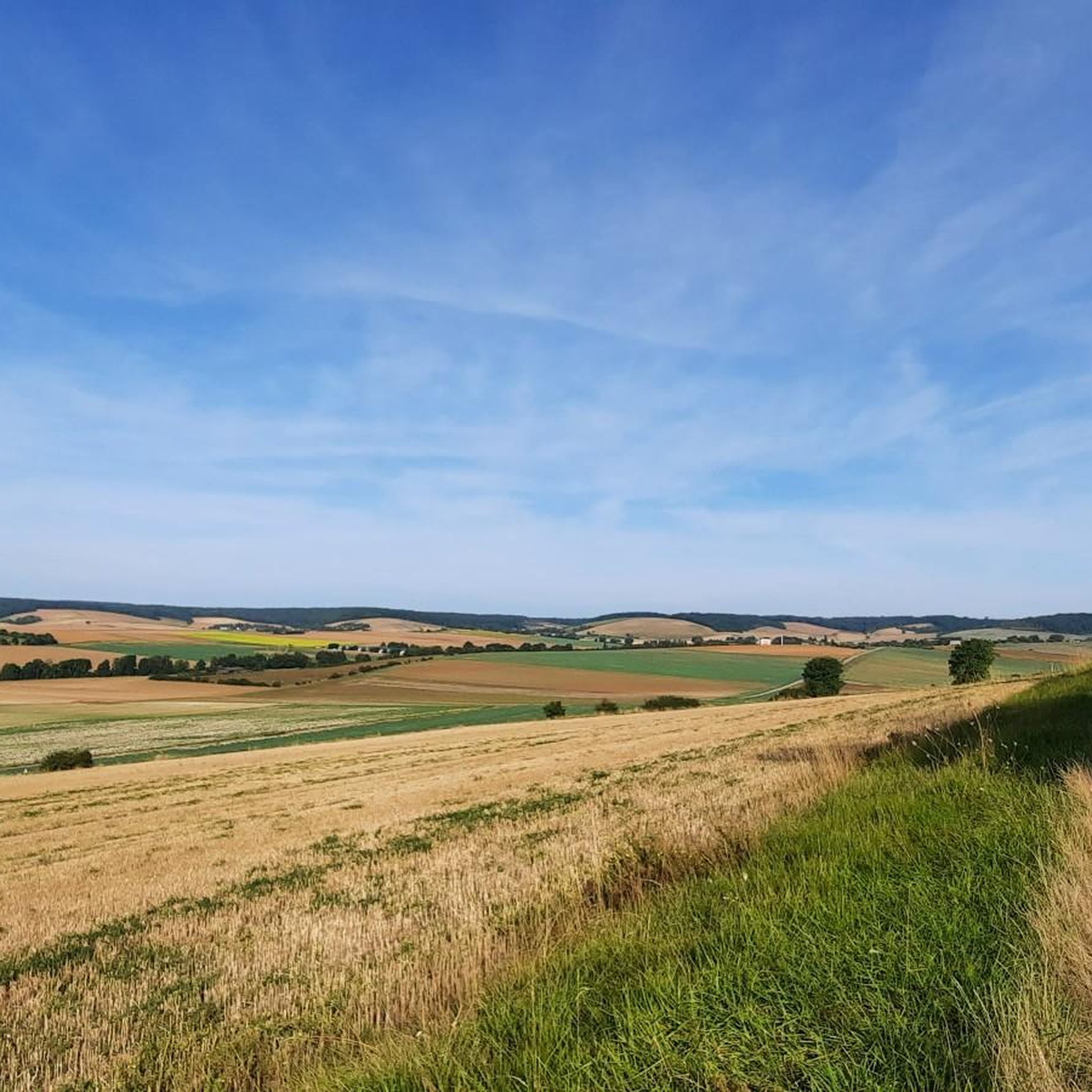
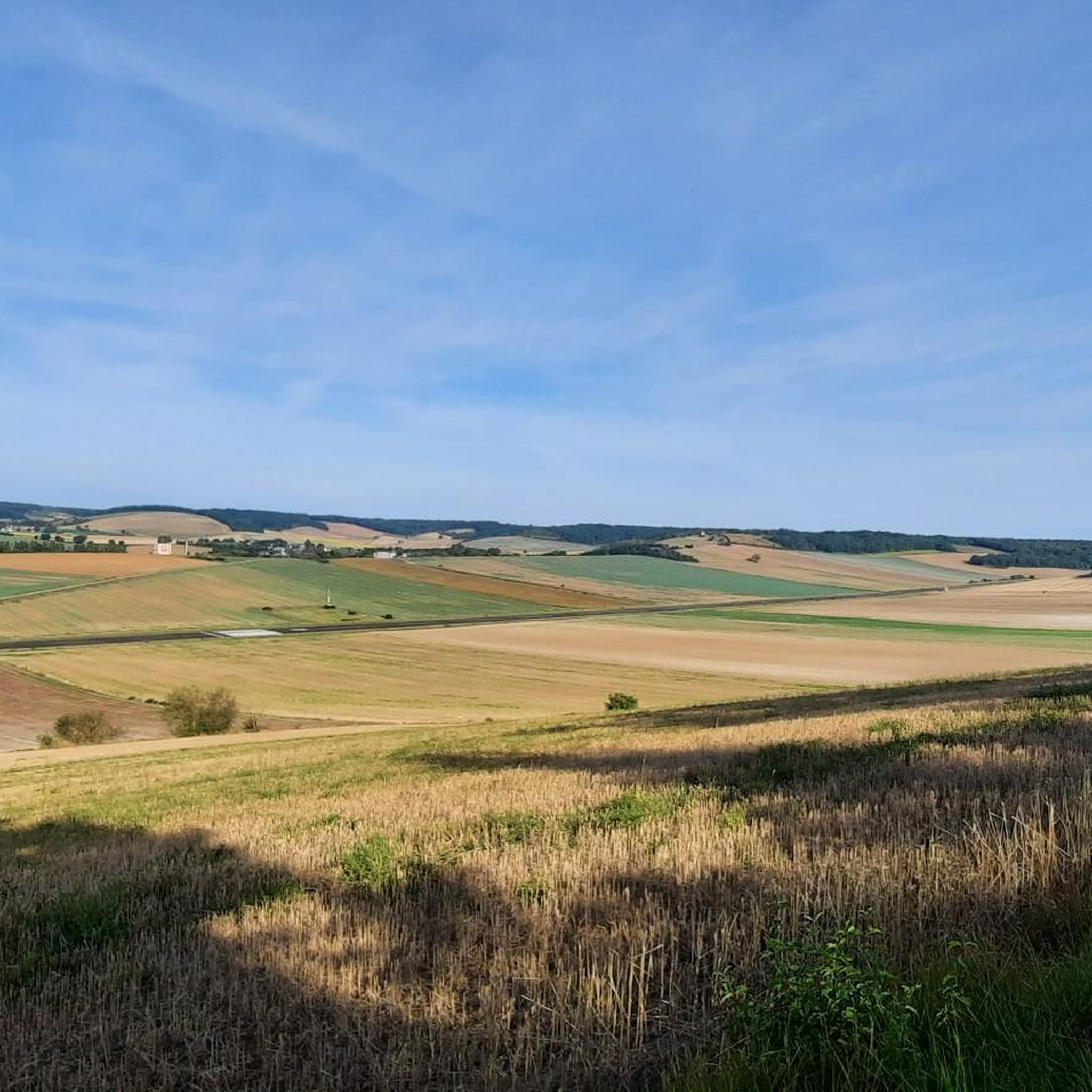
Jogging routes around Vergigny offer diverse terrain in the Yonne department of Bourgogne-Franche-Comté, France. The region features an altitude range of 90 to 178 meters, providing varied landscapes for different fitness levels. Runners can explore riverside paths along the Canal de Bourgogne, which offers smooth, flat sections ideal for running. Additionally, the area includes woodland environments like the Forest of Pontigny and opportunities for nature observation within the Bas-Rebourseaux Ornithological Nature Reserve.
Best jogging routes around Vergigny
- The most popular…
Last updated: July 4, 2026
18
runners
6.84km
00:43
50m
50m
Moderate run. Good fitness required. Mostly paved surfaces. Suitable for all skill levels.
3.0
(1)
18
runners
8.98km
00:56
30m
30m
Moderate run. Good fitness required. Mostly paved surfaces. Suitable for all skill levels.

Sign up for free
15
runners
6.02km
00:38
50m
50m
Moderate run. Good fitness required. Mostly paved surfaces. Suitable for all skill levels.
7
runners
8.73km
00:55
50m
50m
Moderate run. Good fitness required. Mostly paved surfaces. Suitable for all skill levels.
5
runners
9.35km
00:58
60m
60m
Moderate run. Good fitness required. Mostly paved surfaces. Suitable for all skill levels.
Get access to more routes and recommendations from other explorers.
Sign up for free
Already have an account?
Our route recommendations are based on thousands of hikes, rides, and runs completed by other people on komoot.
Start today with a free account
Your next adventure awaits.
Login or Signup

Tips from the Community

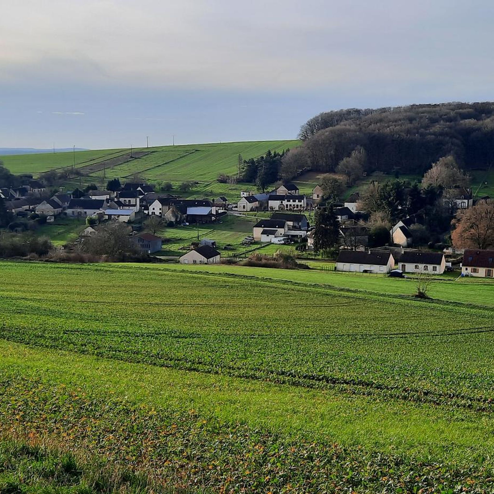
Saint Florentin is a pleasant little town that has been very well restored. The two fun and informative anecdotes to take away from the city are as follows: during the Revolution, Saint-Florentin was one of the most dynamic places of Theophilanthropy, a religion which succeeded the cult of reason and the supreme being between 1798 and 1801. During the convention, the anticlerical republicans renamed Saint-Florentin and called it Mont-Armance between 8 Germinal of Year Two (March 28, 1794) and 6 Ventôse of Year Three (February 24, 1795). The city is located on the edge of the Armance and the Burgundy Canal, but also the N77. Some ingenious minds wanted to take inspiration from the legendary American route 66 in the hope of attracting tourists, and now call it route 77.
2
0

Nice modernization. Pleasant city center
0
0
Frequently Asked Questions
How many running routes are available in Vergigny?
There are over 110 running routes around Vergigny, offering a wide variety of options for all fitness levels. The komoot community has mapped 9 easy, 89 moderate, and 14 difficult trails for you to explore.
What kind of terrain can I expect on the running trails around Vergigny?
Vergigny offers diverse terrain for runners. You'll find smooth, flat sections along the Canal de Bourgogne at Brienon-sur-Armançon, ideal for longer, steady runs. The region also features woodland environments like the Forest of Pontigny, providing shaded paths and a more natural running experience. Additionally, many routes traverse rural landscapes with a mix of open fields and quiet country roads, offering varied surfaces and gentle elevation changes.
Are there any circular running routes in Vergigny?
Yes, many of the running routes in Vergigny are circular, allowing you to start and finish at the same point. For example, the Running loop from Rebourseaux is a popular moderate 6.8 km trail, and the Running loop from Lordonnois offers a 6.0 km circular path through fields and country roads.
What do other runners say about the trails in Vergigny?
The running routes in Vergigny are highly rated by the komoot community, with an average score of 3.9 stars from over 20 reviews. Runners often praise the tranquil waterside environments along the Canal de Bourgogne and the peaceful, varied rural landscapes that characterize the area.
Can I find running routes with scenic views or natural features?
Absolutely! Vergigny's running routes often feature beautiful natural scenery. You can enjoy tranquil waterside views along the Canal de Bourgogne, particularly near Brienon-sur-Armançon, or explore the peaceful paths within the Forest of Pontigny. The region also offers opportunities for nature observation, such as within the Bas-Rebourseaux Ornithological Nature Reserve.
Are there running paths suitable for families?
Many of the routes in Vergigny, especially those with gentler elevation changes and smooth surfaces like the asphalted cycle path along the Canal de Bourgogne, are suitable for families. The Running loop from Héry, at 7.9 km, offers varied rural landscapes that can be enjoyed by active families.
What about dog-friendly running trails?
While specific dog-friendly designations aren't always noted, many of the rural and forest trails in Vergigny are generally suitable for running with dogs, provided they are kept under control and local regulations are followed. Always ensure your dog is on a leash where required and be mindful of wildlife and other trail users.
Are there running routes accessible by public transport or with parking?
While specific public transport links to trailheads are not detailed for every route, many routes in the Vergigny area are accessible from local villages. Parking is generally available in or near these villages. For routes along the Canal de Bourgogne, you can often find parking spots in towns like Brienon-sur-Armançon or Migennes, which provide direct access to the waterside paths.
Where can I find running routes along the Canal de Bourgogne?
The Canal de Bourgogne is a fantastic spot for running. The section at Brienon-sur-Armançon features an asphalted cycle path that extends between Migennes and Brienon, offering a smooth and scenic jogging experience. You can also find routes like the Saint-Florentin – Burgundy canal lock loop from Saint-Florentin which incorporates sections along the canal.
Are there any easy jogging routes for beginners in Vergigny?
Yes, Vergigny offers several easy jogging routes perfect for beginners or those looking for a relaxed run. The region's flat sections along the Canal de Bourgogne are particularly well-suited for easy jogs. While most routes are classified as moderate, their gentle elevation changes make them accessible. You can filter routes by 'easy' difficulty on komoot to find the best options.
What are some longer running routes available in the area?
For those looking for longer runs, the Running loop from Héry is a great option at 7.9 km. Another good choice is the Saint-Florentin – Burgundy canal lock loop from Saint-Florentin, which covers 9.3 km and includes scenic sections along the canal.
Most popular attractions around Vergigny

Get inspired with the komoot mobile app


Explore more
Browse the best Running Trails & Routes in other regions.
