The best running trails around Geruge
4.1
(47)
3,295
runners
316
runs
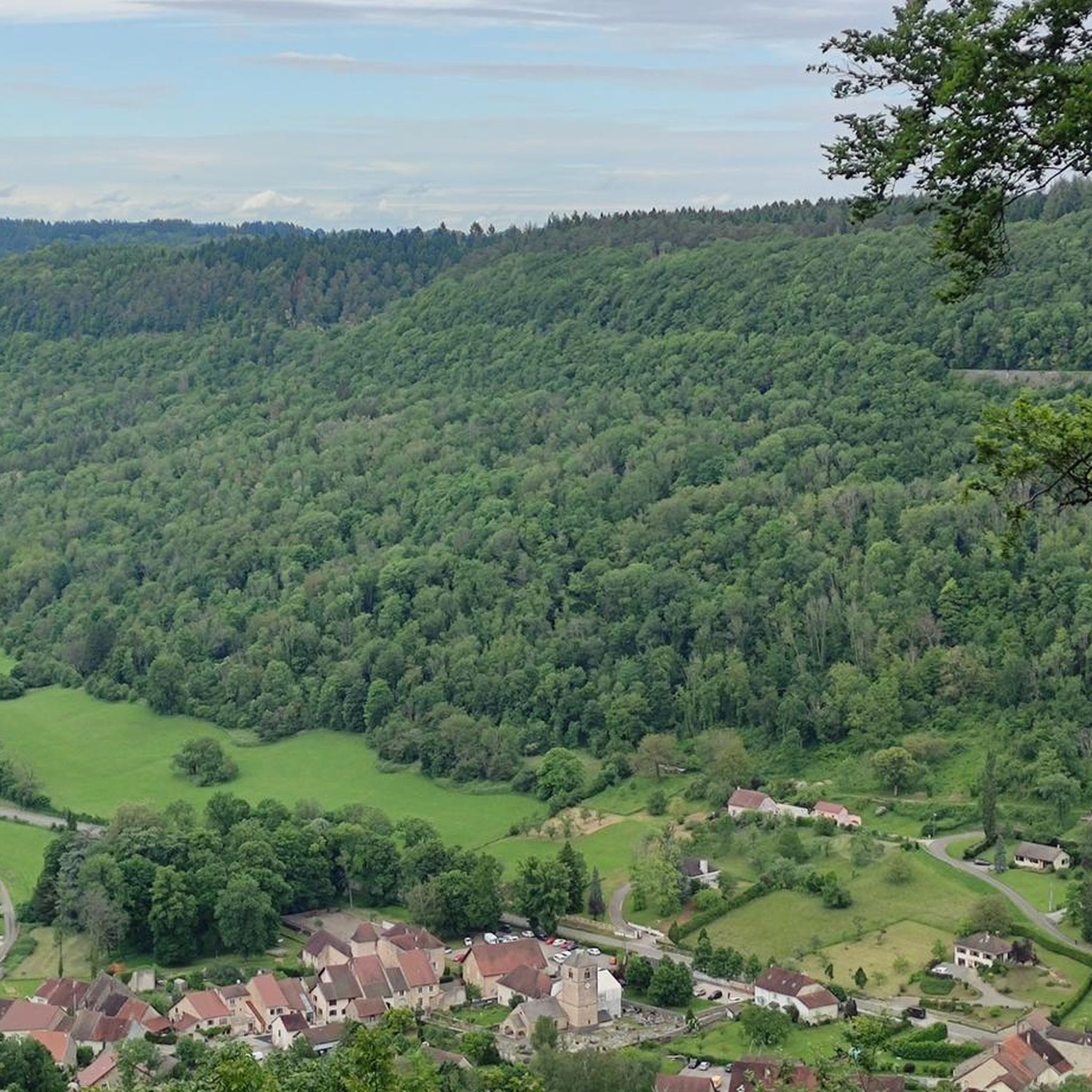
Jogging routes around Geruge, a commune in the Jura department of eastern France, offer varied terrain for runners. The area is characterized by elevations ranging from 378 to 550 meters, with significant forest cover and agricultural areas. This blend creates a mosaic of rolling hills, dense woodlands, and open fields, providing a diverse environment for outdoor activities. Running trails often follow quiet country roads, forest paths, and tracks through fields, suitable for different fitness levels.
Best jogging routes around Geruge
…Last updated: October 7, 2026
28
runners
20.8km
02:33
570m
570m
Hard run. Very good fitness required. Sure-footedness, sturdy shoes and alpine experience required.
18
runners
8.77km
01:02
190m
190m
Moderate run. Good fitness required. Mostly accessible paths. Some sure footedness required.

9
runners
8.88km
01:04
210m
210m
Moderate run. Good fitness required. Mostly paved surfaces. Suitable for all skill levels.
4.0
(1)
8
runners
6.49km
00:41
40m
40m
Moderate run. Good fitness required. Mostly paved surfaces. Suitable for all skill levels.
6
runners
12.9km
01:22
110m
110m
Moderate run. Good fitness required. Mostly paved surfaces. Suitable for all skill levels.
Get access to more routes and recommendations from other explorers.
Already have an account?
Our route recommendations are based on thousands of hikes, rides, and runs completed by other people on komoot.
Start today with a free account
Your next adventure awaits.
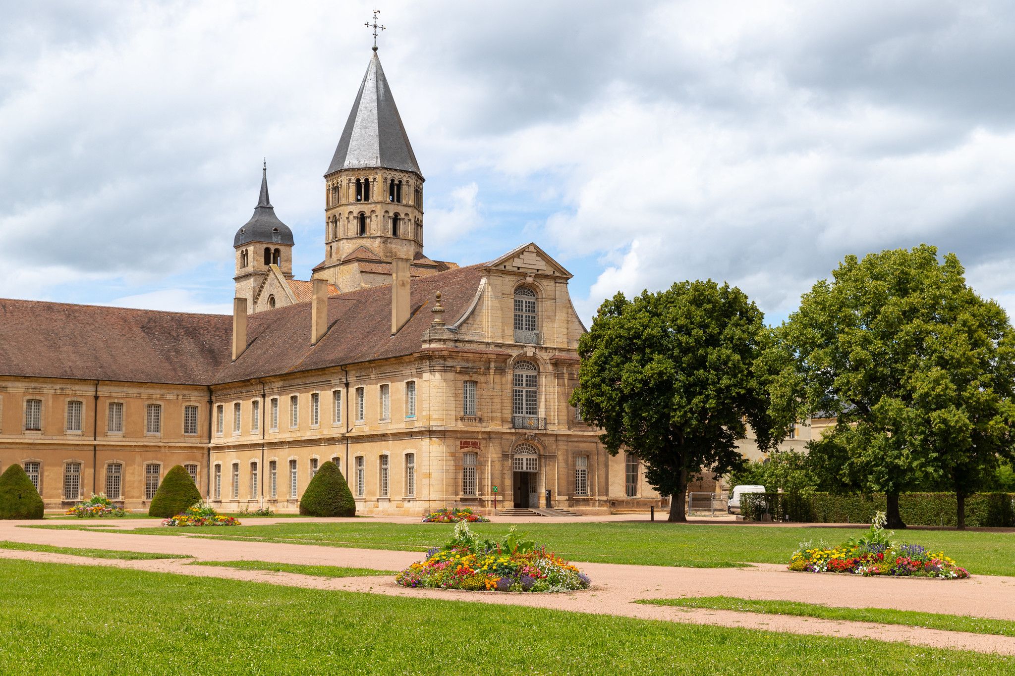
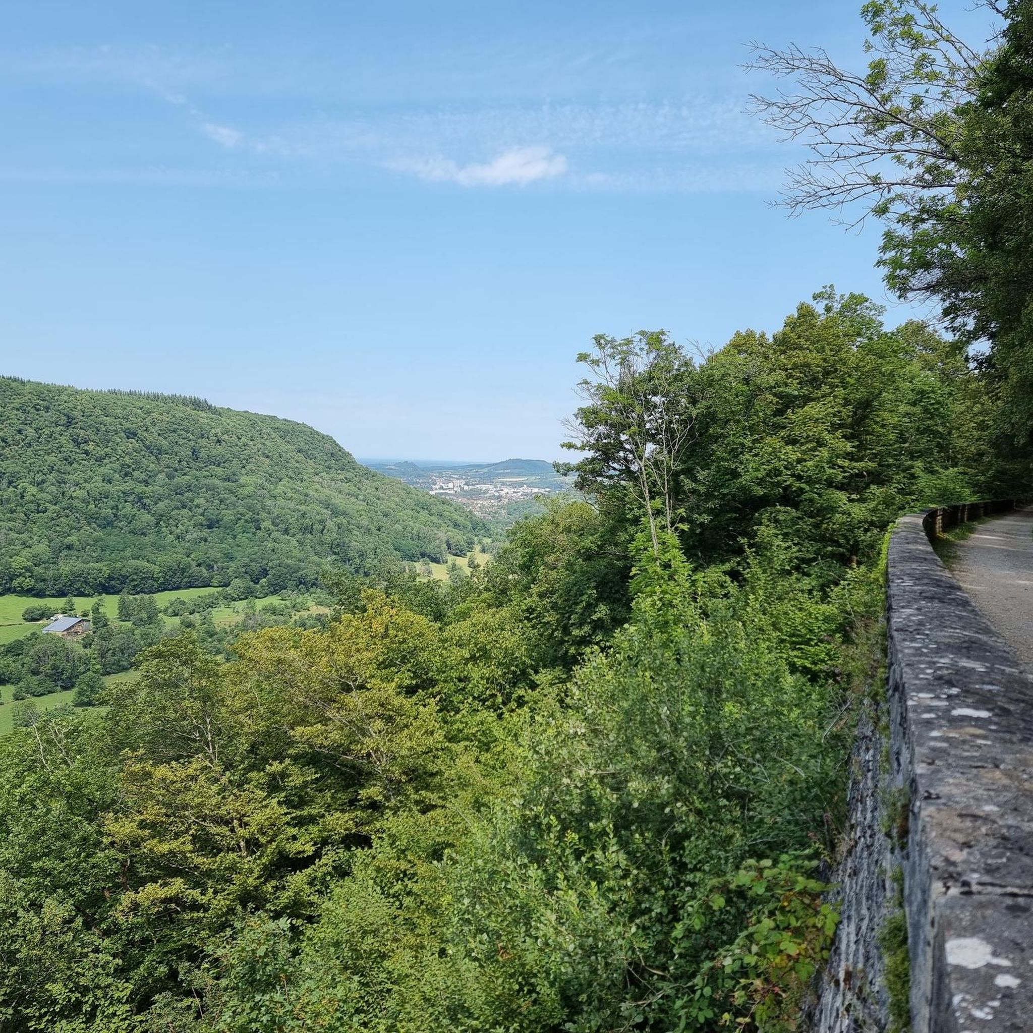
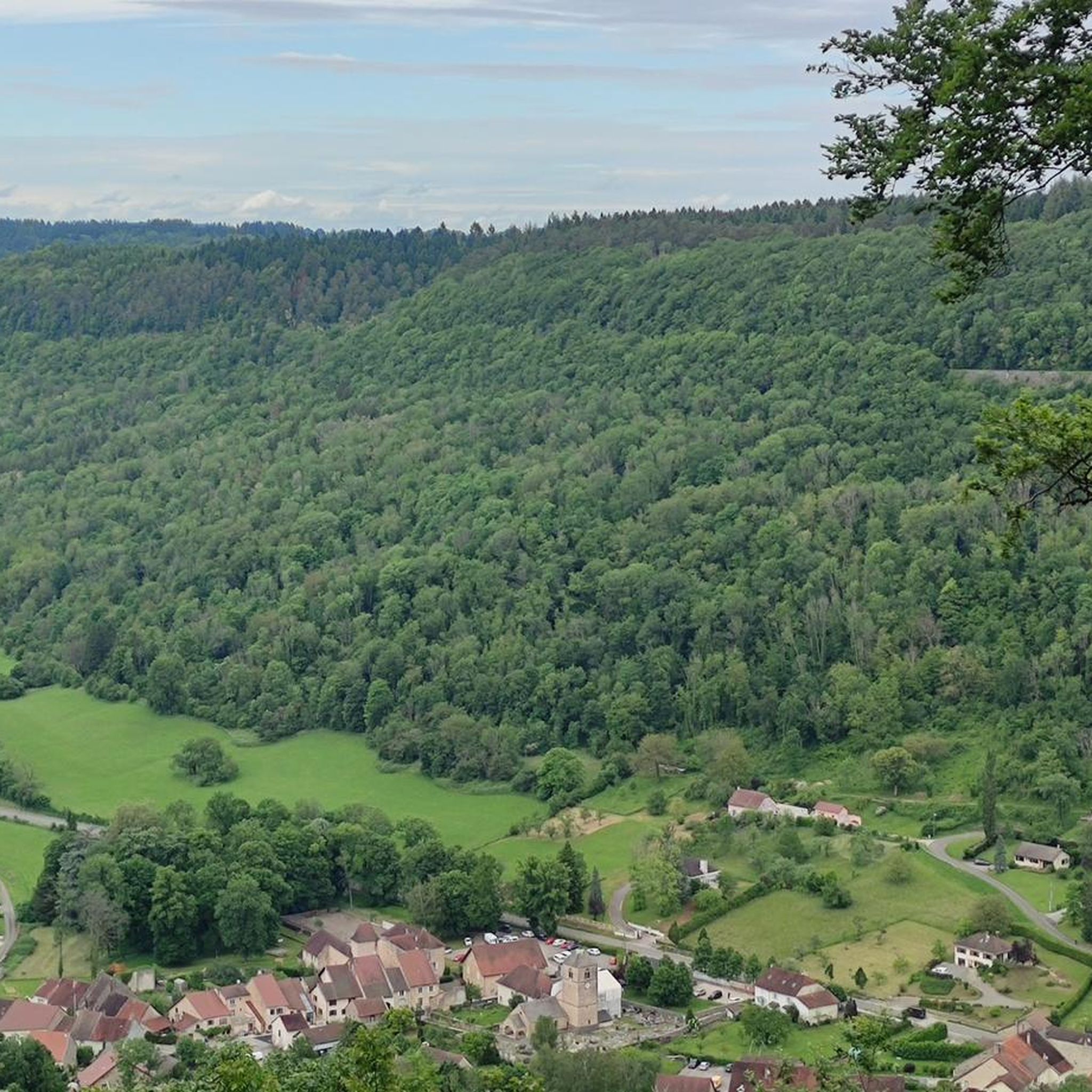

Other adventures around Geruge

Tips from the Community

The Courlan viaduct spans the Vallière river. 338 meters long and 16 meters high, it has 16 arches. A beautiful structure to see along the Voie Bressane greenway.
0
0

From Montaigu you have a wonderful view of Long-le-Saunier.
2
0
On the foothills of the first plateau of the Jura, Montaigu offers a plunging view of Lons-le-Saunier. The village has seen the growth of rouget de Lisle, composer of “La Marseillaise”. Montaigu separates and overlooks two remote valleys (Revigny and Vernantois) whose marly slopes, at the foot of the limestone cliffs, are very favorable for growing vines.
1
0
This pretty path winds through the vineyards and offers a beautiful view of Vernantois and the Gulf of Val de Sorne.
0
0
Frequently Asked Questions
How many running routes are available around Geruge?
There are over 280 running routes around Geruge, offering a wide variety of options for different fitness levels and preferences. This includes 15 easy routes, 190 moderate routes, and 77 difficult routes.
What kind of terrain can I expect on the jogging trails near Geruge?
The jogging trails around Geruge are characterized by a mix of rolling hills, dense woodlands, and agricultural landscapes. You'll find paths along quiet country roads, through forests, and across fields, providing varied scenery and challenges.
Are there any challenging running routes for experienced runners in the Geruge area?
Yes, for experienced runners seeking a challenge, Geruge offers several difficult routes. One notable option is the Mont Bernier loop from Courbouzon, which is 12.9 miles (20.7 km) long with significant elevation gain. Another is the Réserve de Mancy – Mont des Tartres loop from Macornay, a challenging 7.5-mile (12.1 km) path through natural reserves.
What do other runners say about the trails in Geruge?
The running routes in Geruge are highly rated by the komoot community, with an average score of 3.98 stars from over 30 reviews. Runners often praise the varied terrain, the mix of natural and open spaces, and the options available for different ability levels.
Are there any circular running routes around Geruge?
Yes, many of the running routes around Geruge are circular, allowing you to start and finish at the same point. Examples include the Montaigu loop from Macornay, which is 5.2 miles (8.4 km) long, and the Plateau de Montciel loop from Courbouzon.
Can I find any scenic attractions or landmarks along the running trails?
While running, you might encounter various scenic points. Nearby attractions include the stunning Baume-les-Messieurs Tufa Waterfall and the Grottes de Baumes — Waterfall and Cave. For panoramic views, consider visiting the Roches Viewpoint (Overlook of the Baume-les-Messieurs reculée).
What is the best time of year for running in Geruge?
The Jura region, where Geruge is located, offers pleasant conditions for running during spring, summer, and autumn. Spring brings blooming landscapes, summer provides warm weather for longer days, and autumn offers beautiful foliage. Winter running is possible, but some trails might be affected by snow or ice, so checking local conditions is advisable.
Are there any easy or beginner-friendly running routes in Geruge?
Yes, Geruge has 15 easy routes suitable for beginners or those looking for a more relaxed jog. These paths typically feature gentler ascents and descents, making them accessible for a casual run.
Is it possible to find parking near the trailheads in Geruge?
While specific parking details for every trailhead are not provided, it is generally possible to find parking in or near the villages that serve as starting points for many routes, such as Courbouzon, Macornay, or Gevingey. Local information or komoot route details often indicate parking availability.
Are the running routes around Geruge suitable for dogs?
Many trails in the Jura region are dog-friendly, especially those on forest paths and quiet country roads. However, it's always recommended to keep dogs on a leash, especially in agricultural areas or near wildlife, and to check for any specific local regulations or protected areas that might restrict dog access.
Can I access running routes in Geruge using public transport?
Geruge is a small village in the Jura region of France. While public transport options might be limited directly to every trailhead, you can often reach larger nearby towns like Lons-le-Saunier by public transport and then potentially connect to routes or trailheads via local services or a short walk.
Are there any longer distance running trails for endurance training?
Yes, for those looking for longer runs, routes like the Mont Bernier loop from Courbouzon, at 12.9 miles (20.7 km), offer significant distance and elevation, making them suitable for endurance training.
What is the elevation profile like on the running trails in Geruge?
The trails in Geruge feature a varied elevation profile, characterized by rolling hills. You'll encounter both gentle ascents and descents, providing a good mix for different types of running workouts, from moderate climbs to more challenging uphill sections on difficult routes.
Most popular attractions around Geruge

Get inspired with the komoot mobile app


Explore more
Browse the best Running Trails & Routes in other regions.
