The best walks and hikes around Thieux
4.5
(159)
1,074
hikers
71
hikes
Hiking around Thieux offers access to a network of trails and green spaces within the Île-de-France region. The area is characterized by its proximity to the Canal de l'Ourcq, providing paths that blend natural and recreational landscapes. Hikers can explore varied countryside typical of the Parisian basin, including rural terrain, open fields, and woodlands. The region's topography generally features gentle elevation changes, making it suitable for a range of hiking abilities.
Best hiking trails around Thieux
- The most popular hiking…
Last updated: October 8, 2026
3.0
(3)
7
hikers
11.6km
03:02
80m
80m
Moderate hike. Good fitness required. Easily-accessible paths. Suitable for all skill levels.
4.7
(3)
9
hikers
17.0km
04:25
120m
120m
Moderate hike. Good fitness required. Easily-accessible paths. Suitable for all skill levels.

5.0
(1)
15
hikers
9.40km
02:24
30m
30m
Moderate hike. Good fitness required. Easily-accessible paths. Suitable for all skill levels.
11
hikers
6.44km
01:40
40m
40m
Easy hike. Great for any fitness level. Easily-accessible paths. Suitable for all skill levels.
5.0
(1)
5
hikers
17.5km
04:38
160m
160m
Moderate hike. Good fitness required. Easily-accessible paths. Suitable for all skill levels.
Get access to more routes and recommendations from other explorers.
Already have an account?
Our route recommendations are based on thousands of hikes, rides, and runs completed by other people on komoot.
Start today with a free account
Your next adventure awaits.
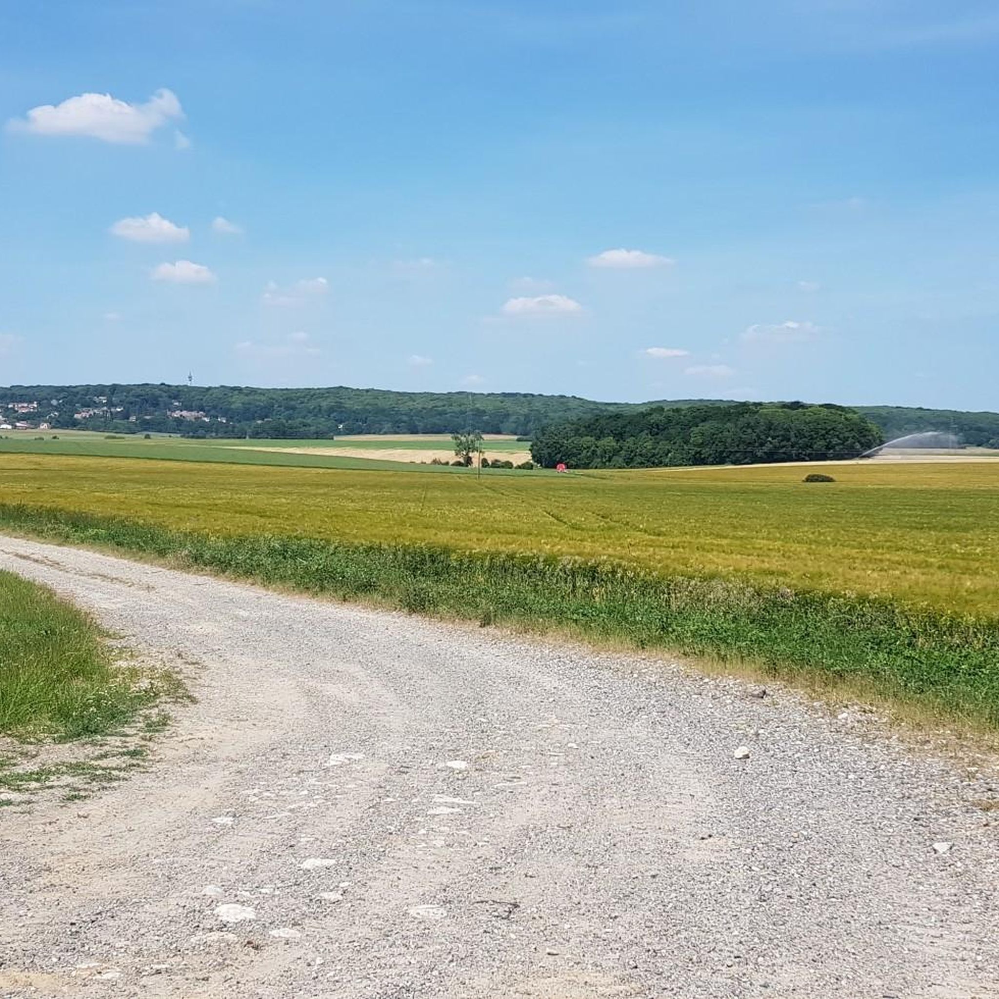

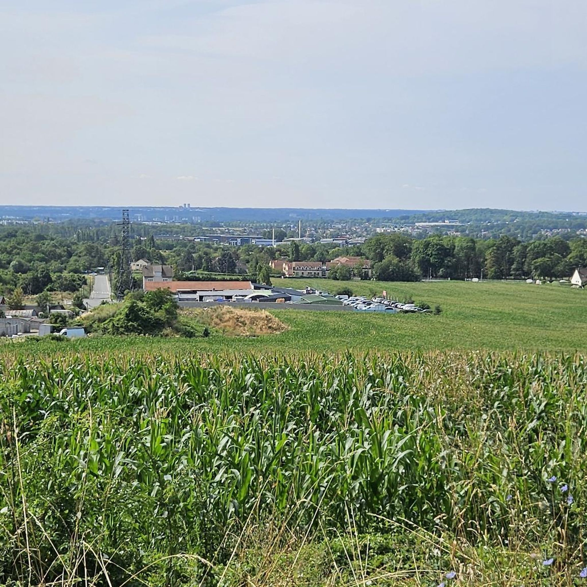
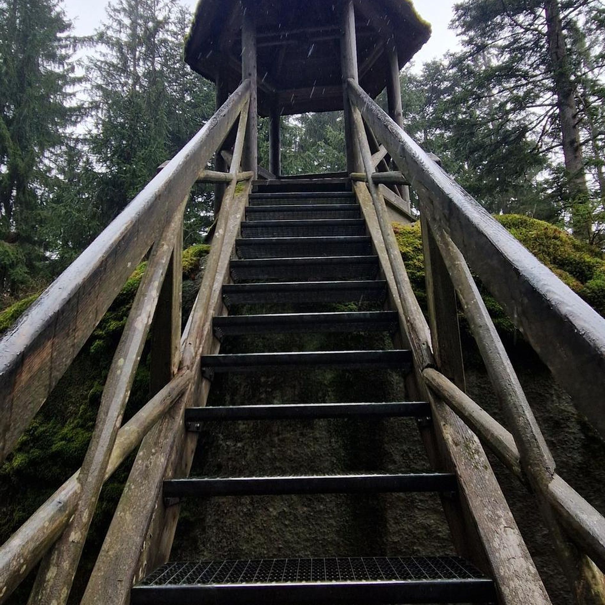

Tips from the Community

A very interesting airport ✈️ very large yet easy to navigate. Staff are available to answer questions.
2
0
By bus to the gate at Charles de Gaulle Airport ✈️ Paris. We thought we were lost and asked how and where to go next.
4
0

Nice, yes, calm and peaceful... 4 km in line with the runway of CDG airport, the noise of planes taking off every 2 minutes at an altitude of a few hundred meters is infernal, even during breaks. How the locals manage 24/7 is beyond me...
0
0

Superb in spring!
0
0

Old barge in a pretty corner of nature.
1
0

Difficult to find, you go through narrow paths.
0
0

Very nice little town along the canal, perfect for a first refreshment after Paris
0
0

Frequently Asked Questions
How many hiking trails are available around Thieux?
There are over 50 hiking routes around Thieux, offering a variety of experiences from easy strolls to more moderate treks. The komoot community has explored these trails extensively, with over 800 hikers using komoot to navigate the area.
What kind of terrain can I expect on hikes near Thieux?
Hikes near Thieux typically feature a mix of canal-side paths, open fields, and accessible green spaces. The region is characterized by its varied countryside, including rural terrain and woodlands, with generally gentle elevation changes. You'll find pleasant and scenic stretches, particularly along the Canal de l'Ourcq.
Are there any interesting landmarks or natural features to see along the trails?
Yes, several trails offer views of interesting features. You can explore historical landmarks like those found on the Nantouillet Castle – Church of Juilly loop from Juilly. The scenic Canal de L'ourcq is a prominent natural feature, with paths like the Ourcq cycle path to Claye-Souilly offering pleasant walks. You might also encounter views of the canal from bridges, such as the View of the Ourcq Canal from the bridge.
What do other hikers enjoy most about hiking in Thieux?
The area is highly rated by the komoot community, with an average score of 4.5 stars from over 130 reviews. Hikers often praise the accessible green spaces, the peaceful canal-side paths, and the variety of routes suitable for different fitness levels.
Are there family-friendly hiking options in Thieux?
Yes, Thieux offers several easy routes suitable for families. For example, the Hiking loop from Roissy-en-France is an easy 3.4-mile (5.5 km) path that provides a pleasant walk through local green spaces, ideal for a family outing.
Are dogs allowed on hiking trails around Thieux?
While specific rules for every trail vary, generally, dogs are welcome on many of the paths around Thieux, especially in open rural areas and along the Canal de l'Ourcq. It's always recommended to keep dogs on a leash and respect local signage, particularly in nature reserves or cultivated fields.
Are there circular hiking routes available?
Yes, many of the popular routes around Thieux are circular, allowing you to start and end at the same point. Examples include the Nantouillet Castle – Church of Juilly loop from Juilly and the Nantouillet Castle loop from Gressy, both offering scenic round trips.
What are the options for parking when hiking near Thieux?
Parking is generally available near trailheads and in the villages surrounding Thieux. For routes starting in towns like Juilly, Roissy-en-France, or Gressy, you can typically find public parking areas. It's advisable to check local parking regulations upon arrival.
How can I access hiking trails near Thieux using public transport?
Thieux is situated within the Île-de-France region, which has a comprehensive public transport network. Depending on your starting point, you can often reach villages close to trailheads by regional trains (Transilien) or local bus services. Check the local transport authority's website for specific routes and schedules to plan your access.
What are the typical durations for hikes in Thieux?
Hikes in Thieux vary in length and duration. Easy walks, like the Hiking loop from Roissy-en-France, can take around 1 hour 25 minutes. Moderate trails, such as the Agricultural feeder road loop from Le Mesnil-Amelot (6.8 miles / 10.9 km), typically take about 2 hours 50 minutes. Longer routes, like the Nantouillet Castle loop from Gressy (10.1 miles / 16.3 km), can take approximately 4 hours 15 minutes.
Are there any easy hikes suitable for beginners?
Yes, Thieux offers 28 easy routes perfect for beginners or those looking for a relaxed walk. The Hiking loop from Roissy-en-France is a great option, being an easy 3.4-mile (5.5 km) path through pleasant green spaces.
Where can I find places to eat or stay near the hiking trails?
The villages and towns surrounding Thieux, such as Gressy, Juilly, and Roissy-en-France, offer various amenities including cafes, restaurants, and accommodation options. You'll find places to refresh and refuel after your hike, or even stay overnight to explore the area further.
What kind of elevation changes should I expect on Thieux trails?
The trails around Thieux are generally characterized by gentle elevation changes, typical of the Parisian basin. For instance, a moderate route like the Claye-Souilly – Claye-Souilly loop from Gressy involves an ascent of about 35 meters. While some routes may have slightly more undulation, significant climbs are not typical for this region.
Most popular attractions around Thieux

Get inspired with the komoot mobile app


Explore more
Browse the best Hikes in other regions.
