The best walks and hikes around Vernierfontaine
4.6
(927)
4,693
hikers
123
hikes
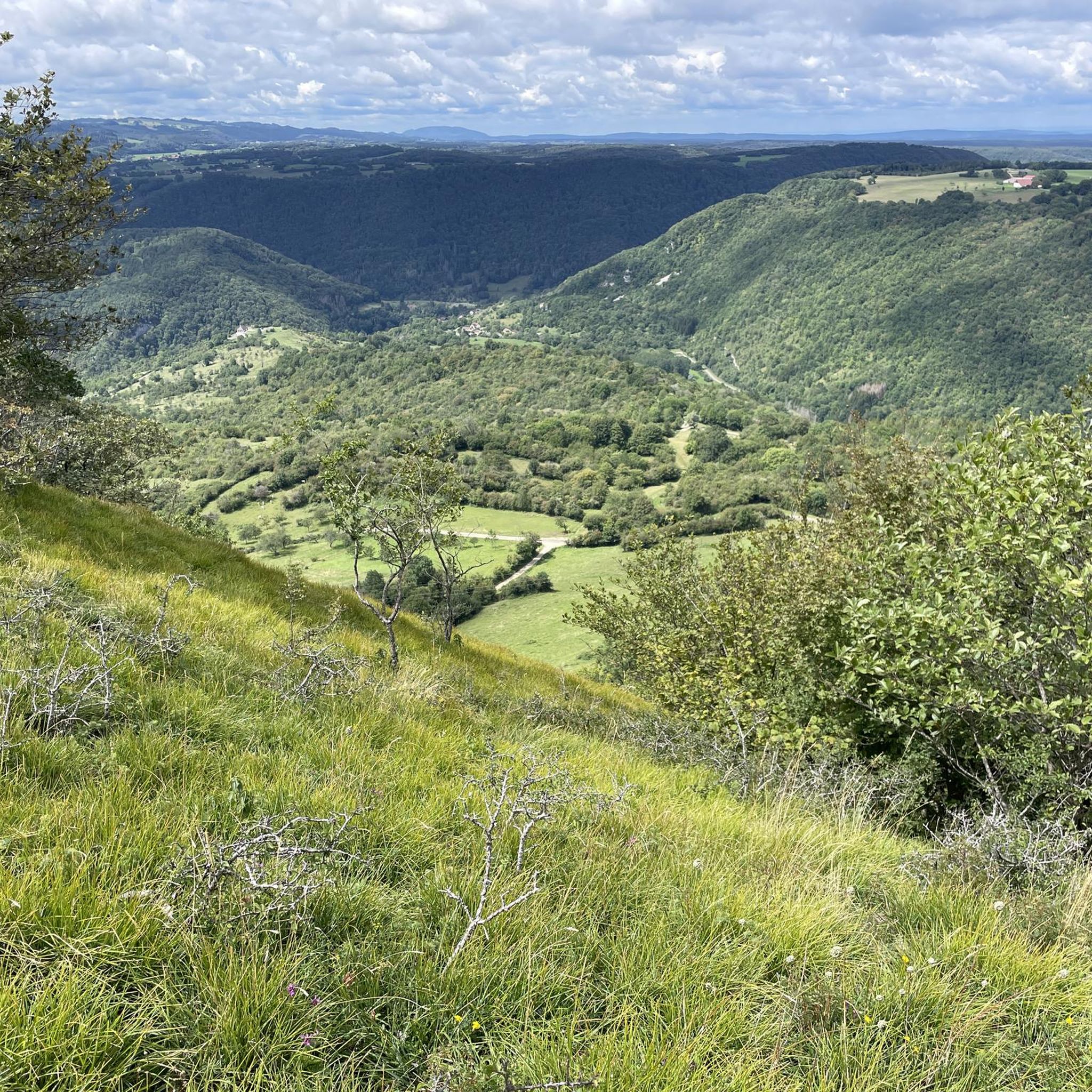
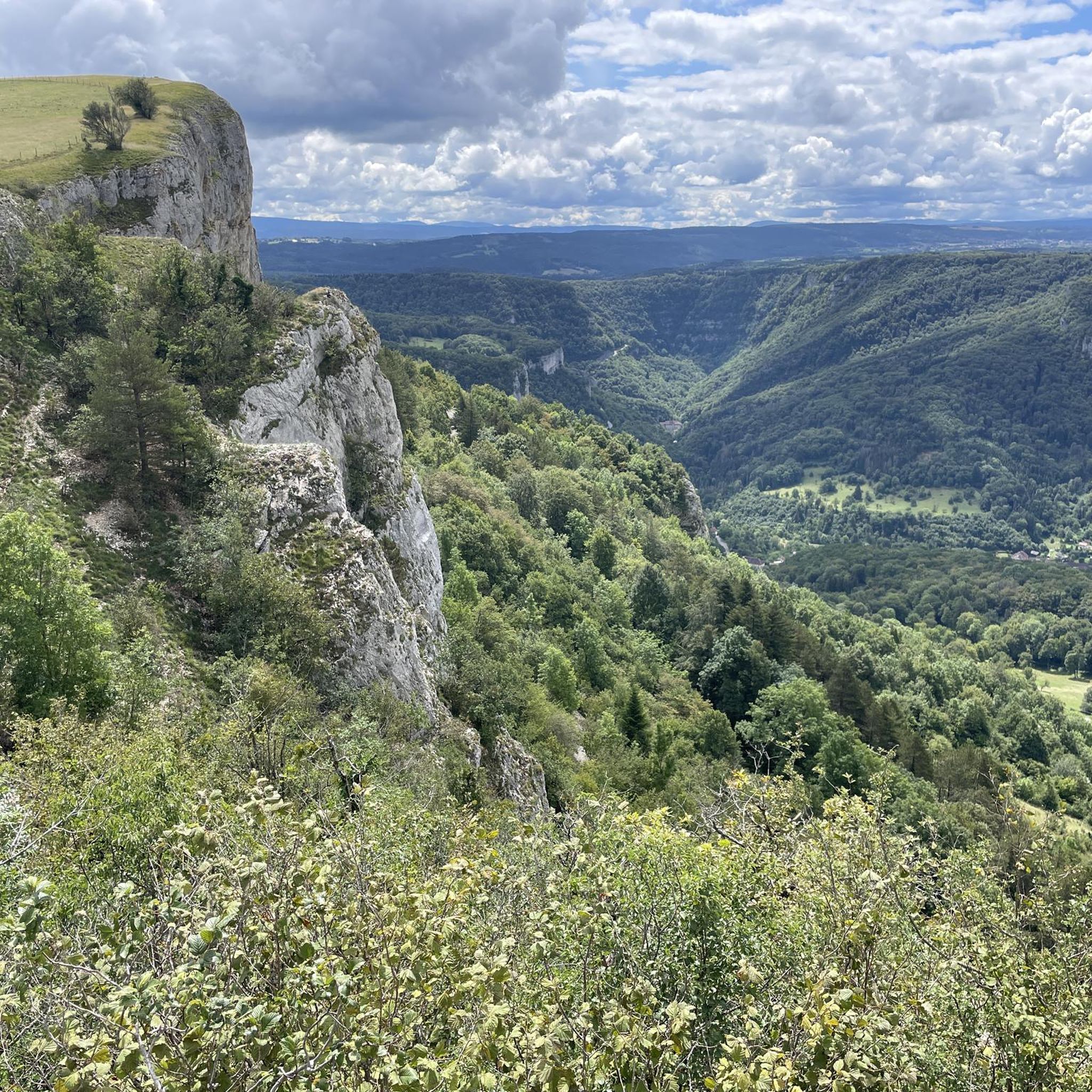
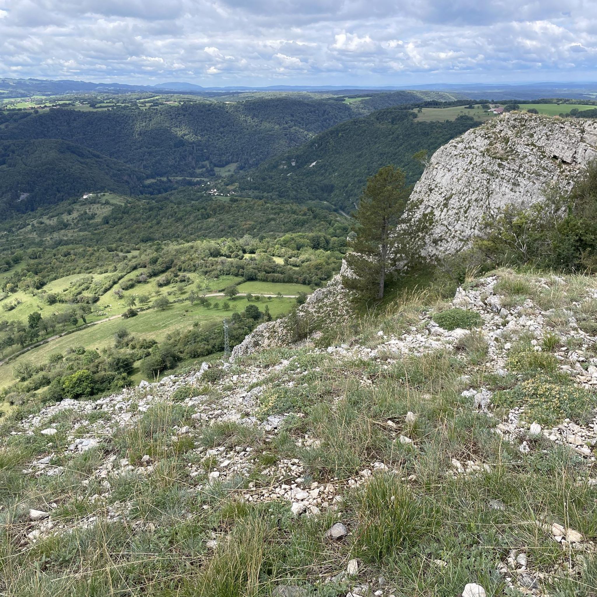
Hiking trails around Vernierfontaine traverse a landscape characterized by rolling hills and dense woodlands, offering diverse natural environments for exploration. The region features a mix of open fields and forested areas, with elevations that provide varied perspectives of the surrounding countryside. Many routes incorporate natural viewpoints, showcasing the local topography. This area provides a range of hiking experiences suitable for different skill levels.
Best hiking trails around Vernierfontaine
- The most popular hiking route is Belvédère de la Roche – View…
Last updated: July 6, 2026
4.5
(11)
91
hikers
Easy hike. Great for any fitness level. Easily-accessible paths. Suitable for all skill levels.
3.8
(6)
47
hikers
9.71km
02:48
240m
240m
Moderate hike. Good fitness required. Easily-accessible paths. Suitable for all skill levels.

Sign up for free
5.0
(3)
73
hikers
Easy hike. Great for any fitness level. Easily-accessible paths. Suitable for all skill levels.
5.0
(2)
13
hikers
14.4km
04:12
390m
390m
Moderate hike. Good fitness required. Easily-accessible paths. Suitable for all skill levels.
15
hikers
2.63km
00:43
30m
30m
Easy hike. Great for any fitness level. Easily-accessible paths. Suitable for all skill levels.
Get access to more routes and recommendations from other explorers.
Sign up for free
Already have an account?
Our route recommendations are based on thousands of hikes, rides, and runs completed by other people on komoot.
Start today with a free account
Your next adventure awaits.
Login or Signup

Tips from the Community

I love this place
0
0
very beautiful view
0
0
beautiful view
0
0

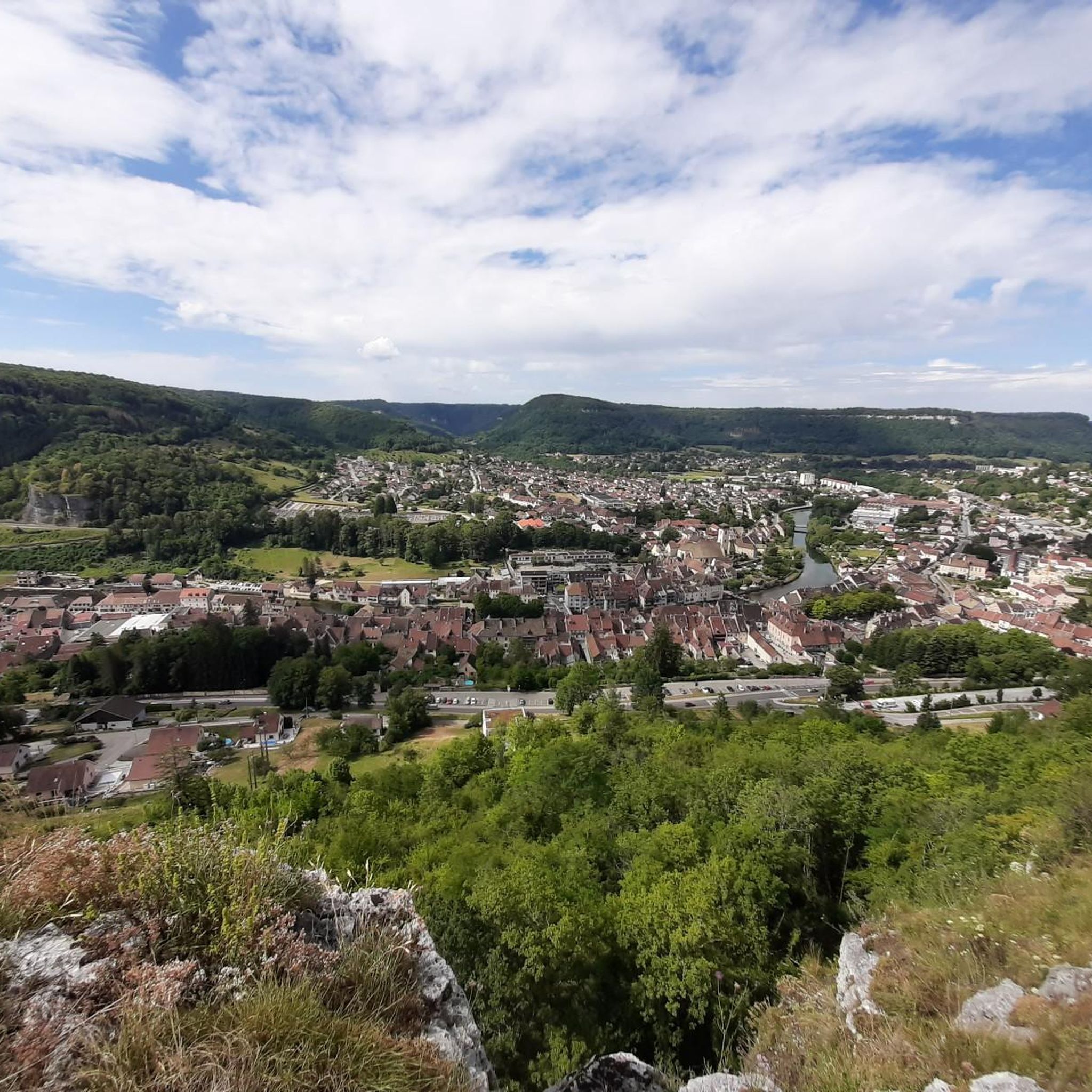
Parking and picnic possible at the departure point. From the start of this hike, you leave Ornans village to head towards the Roche du Mont and the via ferrata site, Notre Dame du Mont, the Roche des Pins, the Chateau, the Belvédère and the old chapel. St Georges, then take the GR 535 to go back down to Ornans via the Fontaine aux Vipères and the Chevalet Courbet. Finally, a possible stop when passing through the city center and returning to the parking lot.
0
0


Splendid view of Ornans and the Loue.
1
0
Frequently Asked Questions
How many hiking trails are available around Vernierfontaine?
There are over 120 hiking routes in the Vernierfontaine area, offering a wide range of experiences from easy strolls to more challenging treks. The region's trails are well-regarded by the komoot community, with an average rating of 4.6 stars.
Are there easy hiking trails suitable for beginners or families in Vernierfontaine?
Yes, Vernierfontaine offers over 40 easy hiking trails perfect for beginners or families. One popular option is the Belvédère de la Roche – View from the Roche de Hautepierre loop from Mouthier-Haute-Pierre, an easy 4.1 km (2.5 miles) route that provides scenic views from the Roche de Hautepierre.
What kind of challenging hikes can I find in the Vernierfontaine area?
For those seeking a challenge, Vernierfontaine has nearly 20 difficult routes. Many of the moderate trails also offer significant distances and elevation gains. For example, the Gougnot Viewpoint loop from Saules is a moderate 13.1 km (8.1 miles) hike with over 370 meters (1,200 feet) of elevation gain, providing a good workout and rewarding views.
Are there any circular walks or loop trails around Vernierfontaine?
Yes, many of the trails in Vernierfontaine are designed as circular routes, allowing you to start and end at the same point without retracing your steps. Examples include the Gougnot Viewpoint – Belvedere de la roche botine loop from Saules and the Belvédère de la Roche – View from the Roche de Hautepierre loop from Hautepierre-le-Châtelet.
What are some notable viewpoints or natural attractions along the hiking trails?
The Vernierfontaine area is rich in natural beauty and viewpoints. Hikers can enjoy sights like the Renédale Viewpoint and the View of Roche Bottine. The region also features impressive natural monuments such as the Source de la Loue and the Source du Pontet.
Is Vernierfontaine suitable for dog-friendly hikes?
Many trails in the Vernierfontaine region are suitable for hiking with dogs, especially those traversing woodlands and open fields. It's always recommended to keep your dog on a leash, especially near livestock or in protected natural areas, and to check specific trail regulations before you go.
What is the best time of year to hike in Vernierfontaine?
The best time to hike in Vernierfontaine is generally from spring through autumn (April to October). During these months, the weather is milder, and the natural landscape, with its rolling hills and dense woodlands, is at its most vibrant. Winter hiking is possible, but some trails may be slippery or require appropriate gear.
Are there any places to explore or towns to visit near the hiking routes?
Yes, beyond the trails, you can explore charming nearby settlements. The towns of Ornans and Vuillafans are notable places to visit, offering a glimpse into the local culture and architecture. You might also find local cafes or restaurants in these areas to refuel after your hike.
What do other hikers enjoy most about hiking in Vernierfontaine?
The komoot community highly rates the hiking experience in Vernierfontaine, with an average score of 4.6 stars from nearly 800 reviews. Hikers often praise the diverse natural environments, the mix of open fields and forested areas, and the varied perspectives offered by the region's elevations and natural viewpoints.
Are there any hikes that feature water elements like rivers or gorges?
Yes, the Vernierfontaine area is home to several beautiful water features. You can explore the Source de la Loue, which is a significant natural spring, and the impressive Gorges de Noailles, offering dramatic scenery and the soothing sounds of flowing water.
What should I bring for a hike in Vernierfontaine, considering the weather?
Given the region's varied terrain and potential for changing weather, it's advisable to bring layers of clothing, sturdy hiking boots, and sufficient water. A waterproof jacket is recommended, especially outside of peak summer. Always check the local weather forecast before heading out.
Most popular routes around Vernierfontaine
Most popular attractions around Vernierfontaine

Get inspired with the komoot mobile app


Explore more
Browse the best Hikes in other regions.
