The best walks and hikes around Bartherans
4.3
(813)
4,022
hikers
113
hikes
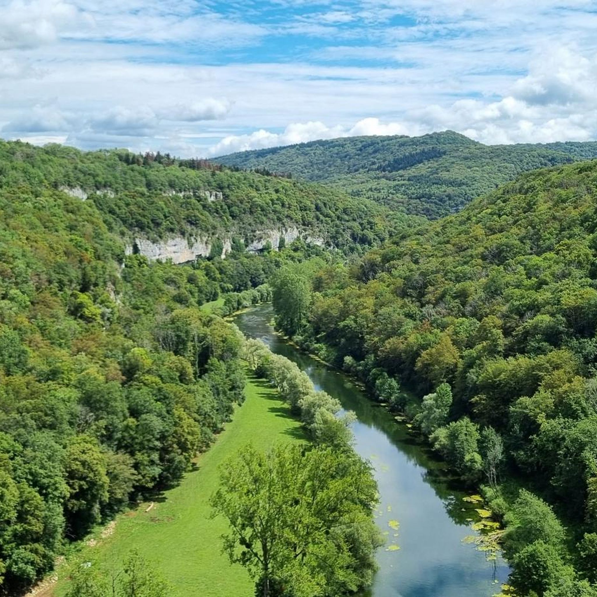
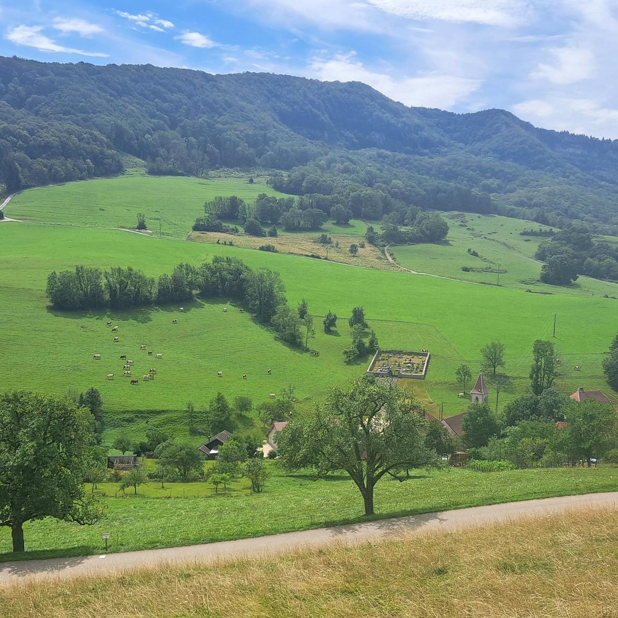
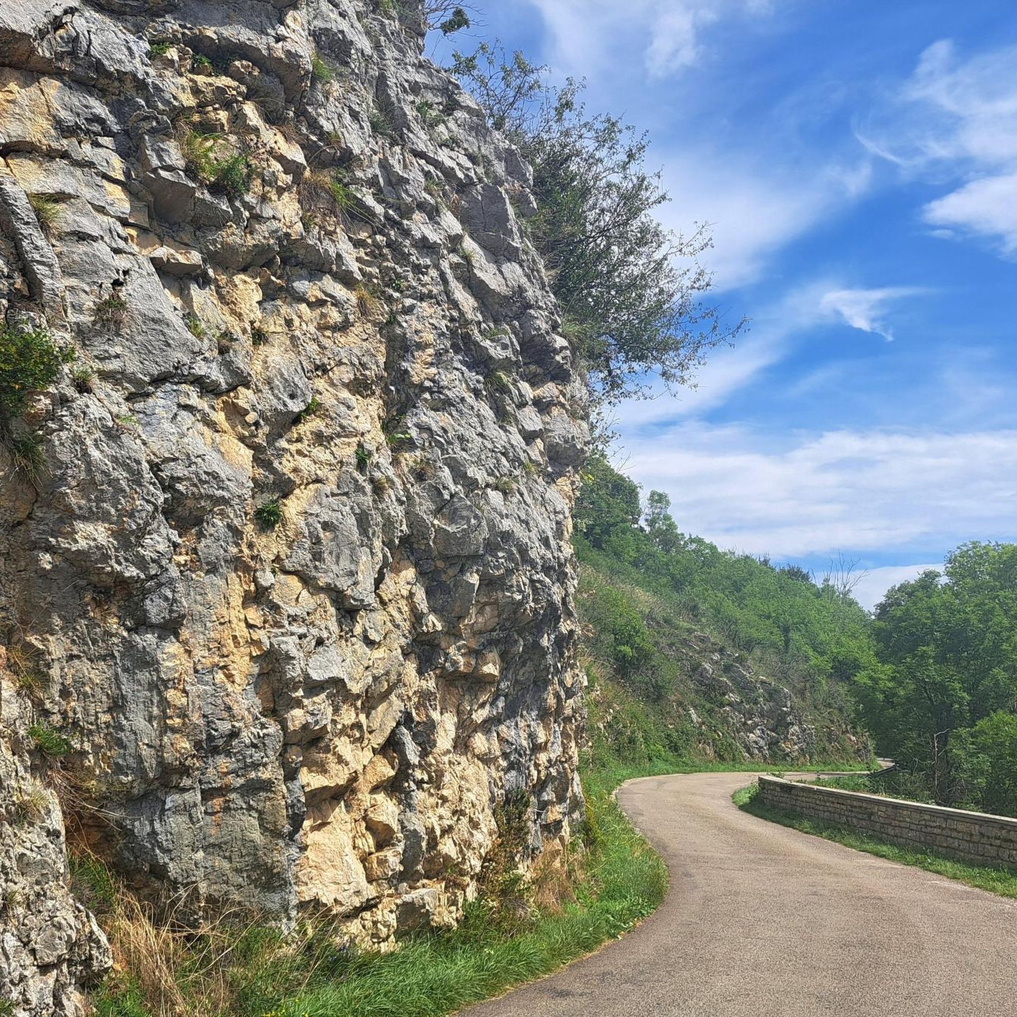
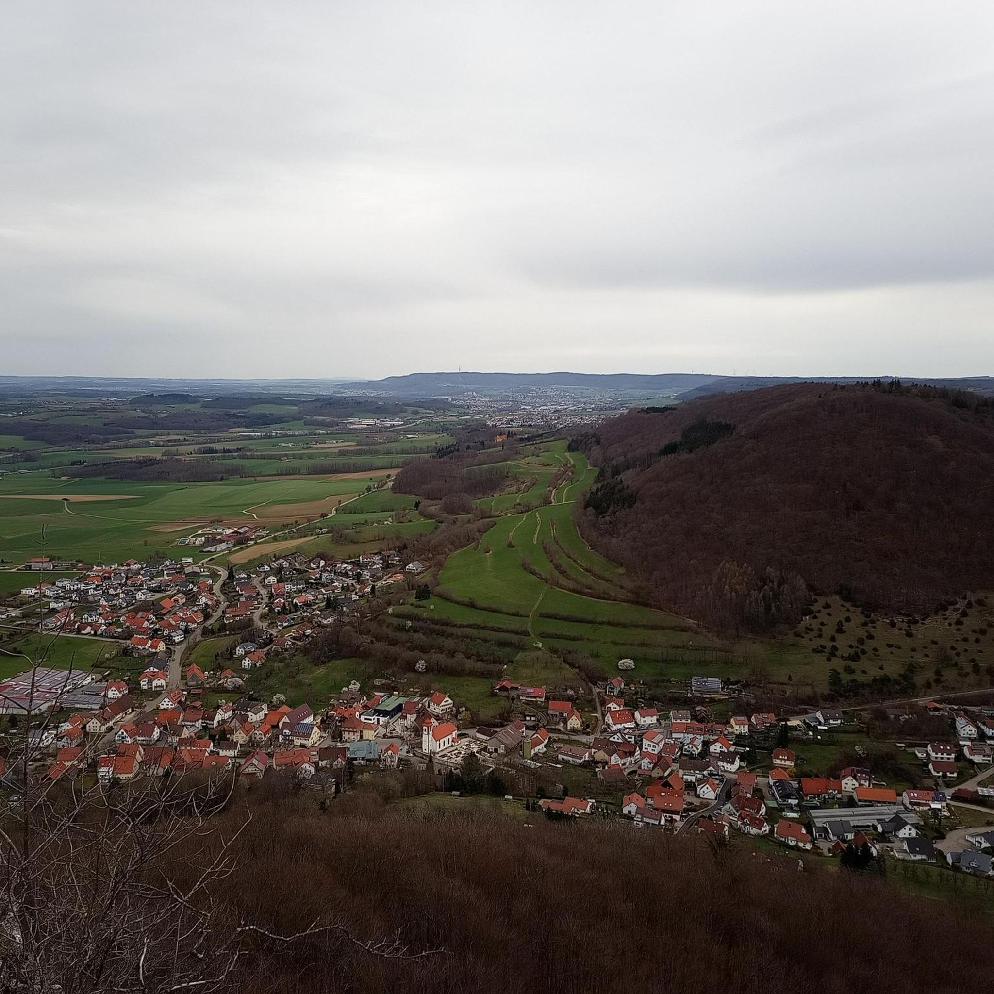
Hiking around Bartherans offers diverse landscapes within the Doubs region and the foothills of the Jura Mountains. The area features varied topography, including rolling hills, lush forests, and scenic river valleys like the Loue and Lison. Geological formations such as chasms and wetlands are also characteristic of the region. These physical features provide a range of hiking experiences.
Best hiking trails around Bartherans
- The most popular hiking route is Gouille Noire Viewpoint – La Piquette Viewpoint loop from Châtillon-sur-Lison,…
Last updated: October 9, 2026
4.8
(9)
71
hikers
14.1km
03:56
260m
260m
Moderate hike. Good fitness required. Easily-accessible paths. Suitable for all skill levels.
4.6
(5)
34
hikers
7.29km
02:06
180m
180m
Moderate hike. Good fitness required. Easily-accessible paths. Suitable for all skill levels.

4.8
(4)
32
hikers
5.74km
01:42
160m
160m
Easy hike. Great for any fitness level. Easily-accessible paths. Suitable for all skill levels.
5.0
(1)
29
hikers
13.3km
03:48
300m
300m
Moderate hike. Good fitness required. Easily-accessible paths. Suitable for all skill levels.
4.0
(2)
10
hikers
8.32km
02:34
300m
300m
Moderate hike. Good fitness required. Easily-accessible paths. Suitable for all skill levels.
Get access to more routes and recommendations from other explorers.
Already have an account?
Our route recommendations are based on thousands of hikes, rides, and runs completed by other people on komoot.
Start today with a free account
Your next adventure awaits.
Tips from the Community

The Brue springs from between the rocks, flows into a basin, and disappears again after about 100 meters. A beautiful spot with benches and tables under trees, a fire pit, a boules court, and a large meadow.
0
0

The ascent to the cross is car-friendly and has steps. The GR59 may have been rerouted in the meantime, but a detour here is definitely justified. The paths on Mt Poupet are well signposted and the summit cross is highly recommended.
2
0
The views are particularly wonderful at the many paraglider take-off points on Mont Poupet. However, the location of this highlight is surrounded by dense forest and an antenna, so visiting this point is only worthwhile if you follow the path a little further north.
1
0

Magnificent spot, I recommend!
0
0

a beautiful view of the valley of the Lison -
0
0
It's like being in a fairy forest - a bit unreal and enchanting.
0
0
Hardly on the surface, the Brue disappears after a few meters in the karst
0
0
huge limestone pillars, but I don't think I photographed all of them because the surroundings are so impressive - and: tons of orchids and other eye-catchers.
0
0
Frequently Asked Questions
How many hiking trails are available around Bartherans?
There are over 110 hiking routes around Bartherans. These trails cater to various skill levels, with approximately 37 easy, 64 moderate, and 9 difficult options, ensuring a suitable path for every hiker.
What kind of landscapes can I expect to see while hiking near Bartherans?
Hiking around Bartherans offers a rich variety of landscapes, from the rolling hills of Besançon to the foothills of the Jura Mountains. You'll encounter lush forests, scenic river valleys like the Loue and Lison, and unique geological features such as caves, chasms, and wetlands. Many routes also provide remarkable viewpoints over these diverse terrains.
Are there any easy hiking routes suitable for families or beginners?
Yes, Bartherans offers several easy hiking options. For a pleasant and accessible walk, consider the Cross Viewpoint loop from Cussey-sur-Lison, which is rated as easy and provides scenic views without significant elevation gain. There are 37 easy routes in total, perfect for a relaxed outing.
Can I find circular hiking routes around Bartherans?
Many of the trails around Bartherans are circular, allowing you to start and end at the same point. Popular examples include the Gouille Noire Viewpoint – La Piquette Viewpoint loop from Châtillon-sur-Lison or the Camp de Châtillon Ruins loop from Alaise, both offering diverse scenery on a loop.
Are there any trails that feature waterfalls or other water attractions?
The region around Bartherans is rich in water features. While hiking, you might encounter the beautiful Lison Valley, known for its clear waters and gorges. You can also explore highlights like the Lison Spring, the Creux Billard — Karst Basin and Waterfall, or the Adhuy waterfall. For more details, you can check the Waterfalls around Bartherans guide.
What are some notable viewpoints or scenic spots along the hiking trails?
Bartherans offers numerous scenic viewpoints. The Les Chandeliers – View into the Lison Valley loop from Refranche provides expansive vistas over the Lison Valley. Other trails, such as the Gouille Noire Viewpoint – La Piquette Viewpoint loop, are specifically designed to showcase prominent viewpoints. The broader Jura region also features ridge walks with panoramic views, some even stretching to the Alps.
Are there any historical sites or ruins to explore on the hikes?
Yes, you can combine hiking with exploring historical sites. The Camp de Châtillon Ruins loop from Alaise is a popular trail that leads through historical ruins and natural surroundings, offering a glimpse into the region's past.
What is the best time of year to go hiking in Bartherans?
The diverse landscapes around Bartherans make it suitable for hiking across multiple seasons. Spring and autumn offer pleasant temperatures and vibrant colors, while summer is ideal for enjoying the river valleys and water features. Winter can also be beautiful for snowshoeing, especially in the higher Jura foothills, but requires appropriate gear and conditions.
What do other hikers enjoy most about the trails in Bartherans?
The trails around Bartherans are highly rated by the komoot community, with an average score of 4.4 stars from over 700 reviews. Hikers frequently praise the varied topography, from rolling hills to dense forests and river valleys, as well as the extensive network of well-maintained paths suitable for different ability levels.
Are there any caves or geological wonders to visit near Bartherans?
The region is known for its geological treasures. You can explore fascinating caves and chasms, such as the Lison Spring, Sarrazine Cave, or the Verneau Spring. The Caves around Bartherans guide provides more information on these natural attractions.
How long do hikes around Bartherans typically take?
Hiking durations vary significantly depending on the route's length and difficulty. For example, the Camp de Châtillon Ruins loop from Alaise typically takes about 2 hours, while the Gouille Noire Viewpoint – La Piquette Viewpoint loop usually requires around 3 hours. Longer moderate routes, like the Belvédère des Grands Ruins – Cross Viewpoint loop, can take over 3.5 hours.
Most popular attractions around Bartherans

Get inspired with the komoot mobile app


Explore more
Browse the best Hikes in other regions.
