The best MTB trails around Villers-Chief
4.5
(89)
223
riders
37
rides
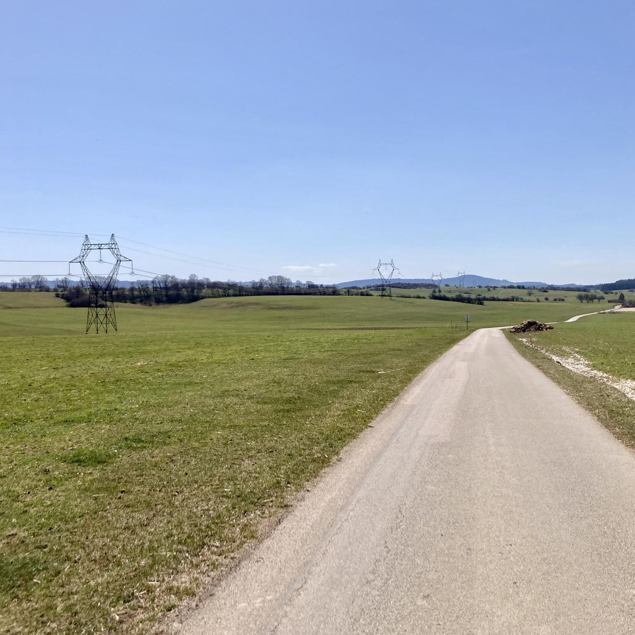
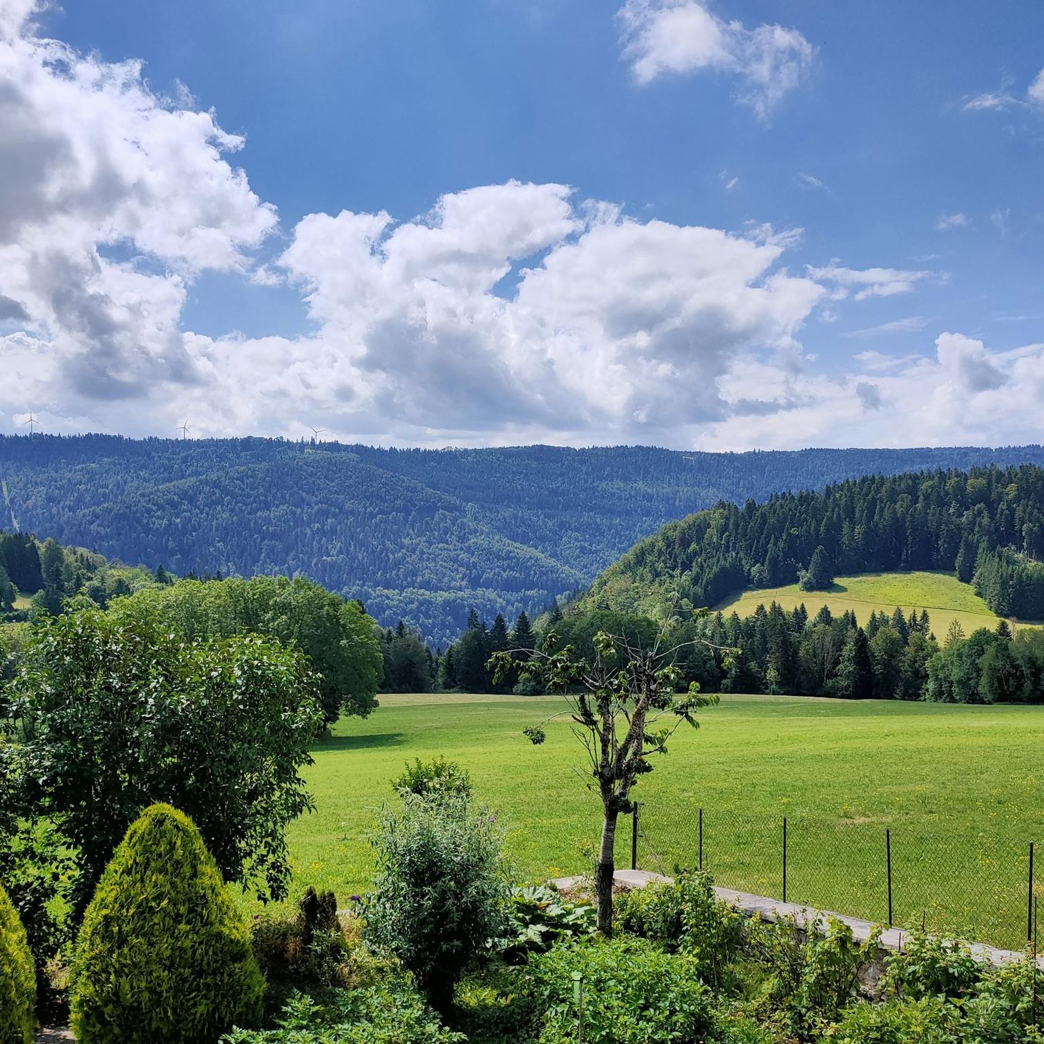
Mountain biking around Villers-Chief offers a diverse landscape characterized by rolling hills and dense woodlands, providing varied terrain for cyclists. The region features numerous trails that often connect charming villages and offer scenic viewpoints. Elevations vary, with routes traversing both gentle slopes and more challenging ascents. This area is well-suited for mountain biking, with a network of paths winding through natural settings.
Best mountain bike trails around Villers-Chief
- The most popular mountain bike trail is Route No. 45 – Thanks…
Last updated: October 9, 2026
4.6
(7)
26
riders
Moderate mountain bike ride. Good fitness required. Suitable for all skill levels.
4.8
(4)
21
riders
50.9km
04:24
880m
880m
Moderate mountain bike ride. Good fitness required. Suitable for all skill levels.

4.0
(2)
18
riders
53.0km
04:25
840m
840m
Moderate mountain bike ride. Good fitness required. Suitable for all skill levels.
4.5
(6)
8
riders
44.3km
04:14
1,080m
1,080m
Hard mountain bike ride. Very good fitness required. Advanced riding skills necessary. Some portions of the route may require you to push your bike.
5.0
(2)
4
riders
33.0km
02:39
490m
490m
Moderate mountain bike ride. Good fitness required. Suitable for all skill levels.
Get access to more routes and recommendations from other explorers.
Already have an account?
Our route recommendations are based on thousands of hikes, rides, and runs completed by other people on komoot.
Start today with a free account
Your next adventure awaits.


Tips from the Community

along the DESSOUBRE
1
0

This hotel restaurant is located on the water's edge, at the confluence of the Dessoubre and the Reverotte. If you are a lover of river fish, you are in the right place for a foodie.
2
0

Mill of which we find traces from the 15th century which has had the name of Laval mill and Fauvel mill throughout its history. There were then several buildings there. The flour mill was destroyed after a fire in 1989. The sawmill, which still exists, closed in 1988 then was restored in 2016 following its inclusion in the historic monuments two years earlier. Only the transmissions are still there, the rest of the equipment having been dismantled when it closed. The adjoining house which accommodated the owners is today a gîte.
1
0

As you hike through the forest, you can admire the trees, take forest baths and occasionally catch a glimpse of the valley.
2
0
Along the Dessoubre to Bretonvillers is a magnificent hiking trail which follows the Le Dessoubre river through the picturesque gorges of this valley. You can depart from the Hôtel de Gigot, near the village of Bretonvillers, and enjoy views of the countryside and forests along the way. You will pass by the hamlet of Saucet and the Roche du Miroir, a rock formation which overlooks the old priory.
2
0

This course is referenced on the site of the creators Froggle Organization of Pierrefontaine les varans under the N° 46 and not 45. The 45 exists and is only 30 km located in the South West of Pierrefontaine les varans.
0
0
A steep path to descend there leads to these caves.
0
0
a good climb to get up there, but a panraorama over the valley
0
0
Frequently Asked Questions
How many mountain bike trails are available around Villers-Chief?
There are over 30 mountain bike trails available around Villers-Chief, offering a variety of options for different skill levels. This includes 9 easy routes, 22 moderate routes, and 2 difficult routes.
Are there mountain bike trails suitable for beginners or families in Villers-Chief?
Yes, Villers-Chief offers several easy mountain bike trails that are suitable for beginners or families. These routes typically feature gentler slopes and less technical terrain. You can find 9 easy routes in the area.
What are the typical durations for mountain bike trails in Villers-Chief?
Trail durations vary depending on the route's length and difficulty. For example, the difficult Route No. 45 – Thanks Dédé loop from Pierrefontaine-les-Varans is about 28 miles (45 km) and takes approximately 4 hours 12 minutes. A moderate route like Gravel Path – Dard Viewpoint loop from Pierrefontaine-les-Varans, at 31.6 miles (50.9 km), typically takes around 4 hours 16 minutes.
Are there challenging mountain bike routes for advanced riders?
Yes, for experienced mountain bikers seeking a challenge, there are difficult routes available. The Mountainbike loop from Avoudrey is a difficult 27.3 miles (44 km) trail that leads through forested areas and open landscapes, often completed in about 3 hours 11 minutes.
What is the best time of year for mountain biking in Villers-Chief?
The region's rolling hills and dense woodlands make spring, summer, and autumn ideal for mountain biking. During these seasons, you can expect pleasant weather and vibrant scenery. While some trails may be accessible in winter, conditions can be more challenging due to potential snow or ice.
Are there any loop mountain bike trails in Villers-Chief?
Many of the mountain bike trails around Villers-Chief are designed as loops, allowing you to start and finish at the same point. An example is the moderate Reverotte Spring loop from Avoudrey, which covers 25.8 miles (41.5 km).
What kind of terrain can I expect on mountain bike trails in Villers-Chief?
The terrain around Villers-Chief is characterized by rolling hills and dense woodlands. You'll encounter a mix of gentle slopes and more challenging ascents, with paths winding through natural settings. The varied landscape provides diverse riding experiences.
Are there any viewpoints or natural attractions along the mountain bike trails?
Yes, the region offers scenic viewpoints and natural attractions. You might encounter highlights such as the Roche Barchey viewpoint, the Cusancin spring, or La Source bleue. These can add to the enjoyment of your ride.
What do other mountain bikers say about the trails in Villers-Chief?
The mountain bike routes in Villers-Chief are highly rated by the komoot community, with an average score of 4.6 stars from over 60 reviews. Mountain bikers often praise the varied terrain, the scenic woodlands, and the well-maintained network of paths.
Are there any historical or cultural landmarks to see while mountain biking?
Beyond natural beauty, the area around Villers-Chief also features historical landmarks. You might pass by the Sainte-Radegonde Chapel or the Saint-Ermenfroi Chapel, offering glimpses into the region's heritage.
Is parking generally available at the trailheads in Villers-Chief?
While specific parking information for each trailhead can vary, many routes in the Villers-Chief area, especially those starting from villages like Pierrefontaine-les-Varans or Avoudrey, typically have designated parking areas nearby. It's always a good idea to check the route details on komoot for specific parking recommendations.
Most popular routes around Villers-Chief
Most popular attractions around Villers-Chief

Get inspired with the komoot mobile app


Explore more
Browse the best MTB trails in other regions.
