The best running trails around Avignonet
4.4
(99)
6,705
runners
234
runs
Jogging routes around Avignonet traverse a varied landscape, offering options from gentle river paths to challenging hilly terrain. The region is characterized by its mix of forests, open countryside, and water features, including footbridges and river valleys. Runners can find routes with significant elevation changes as well as more moderate, flatter sections.
Best jogging routes around Avignonet
- The most popular jogging route is Ebron Footbridge – View of the Brion Bridge loop from Treffort, a 14.2 miles (22.8 km)…
Last updated: October 4, 2026
11
runners
9.81km
01:19
350m
350m
Hard run. Very good fitness required. Mostly accessible paths. Some sure footedness required.
7
runners
10.3km
01:17
340m
340m
Hard run. Very good fitness required. Mostly paved surfaces. Suitable for all skill levels.

5.0
(1)
6
runners
12.6km
01:26
240m
240m
Moderate run. Good fitness required. Mostly paved surfaces. Suitable for all skill levels.
9
runners
8.97km
01:48
860m
860m
Hard run. Very good fitness required. Mostly paved surfaces. Suitable for all skill levels.
4
runners
8.80km
01:02
270m
280m
Moderate run. Good fitness required. Mostly paved surfaces. Suitable for all skill levels.
Get access to more routes and recommendations from other explorers.
Already have an account?
Our route recommendations are based on thousands of hikes, rides, and runs completed by other people on komoot.
Start today with a free account
Your next adventure awaits.


Tips from the Community

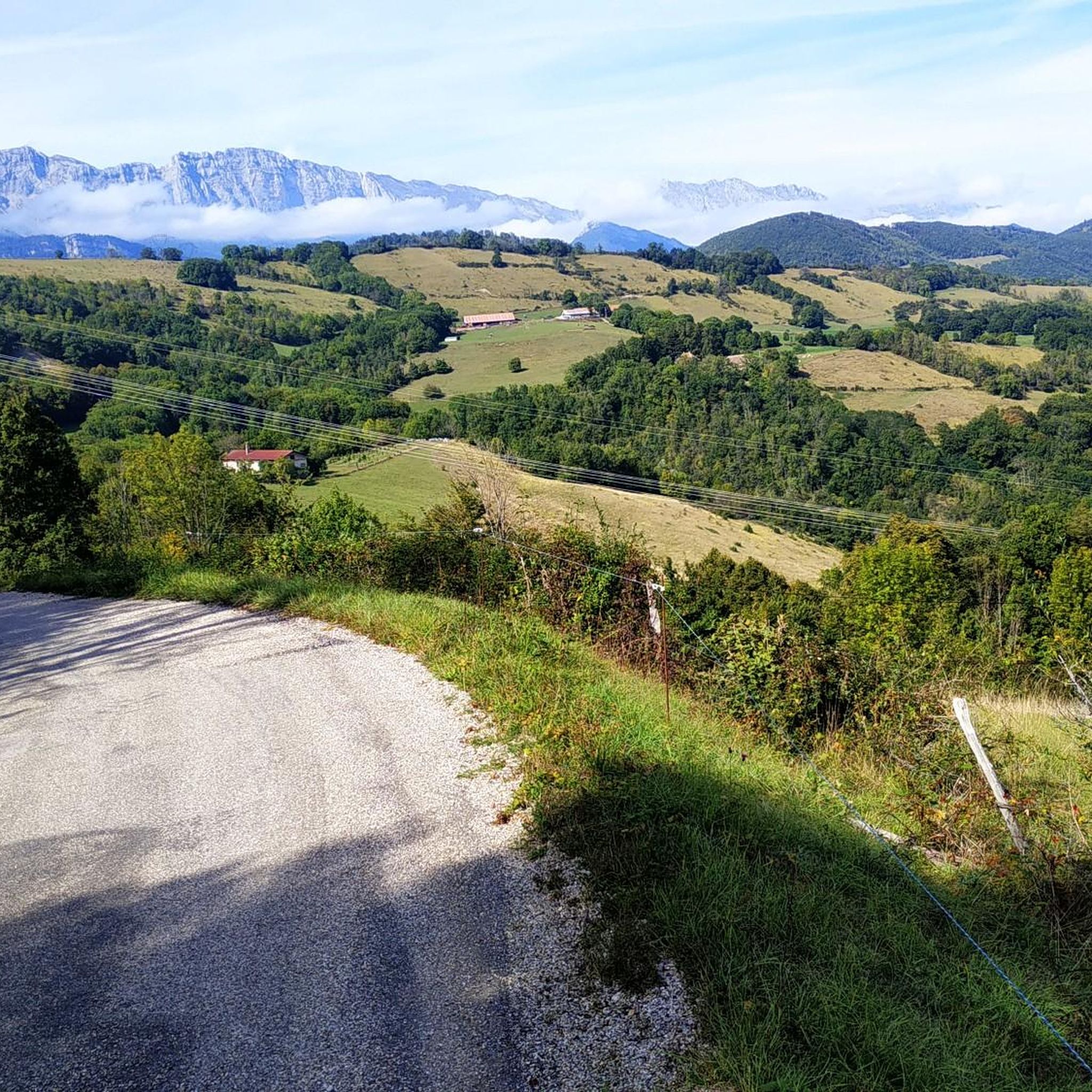
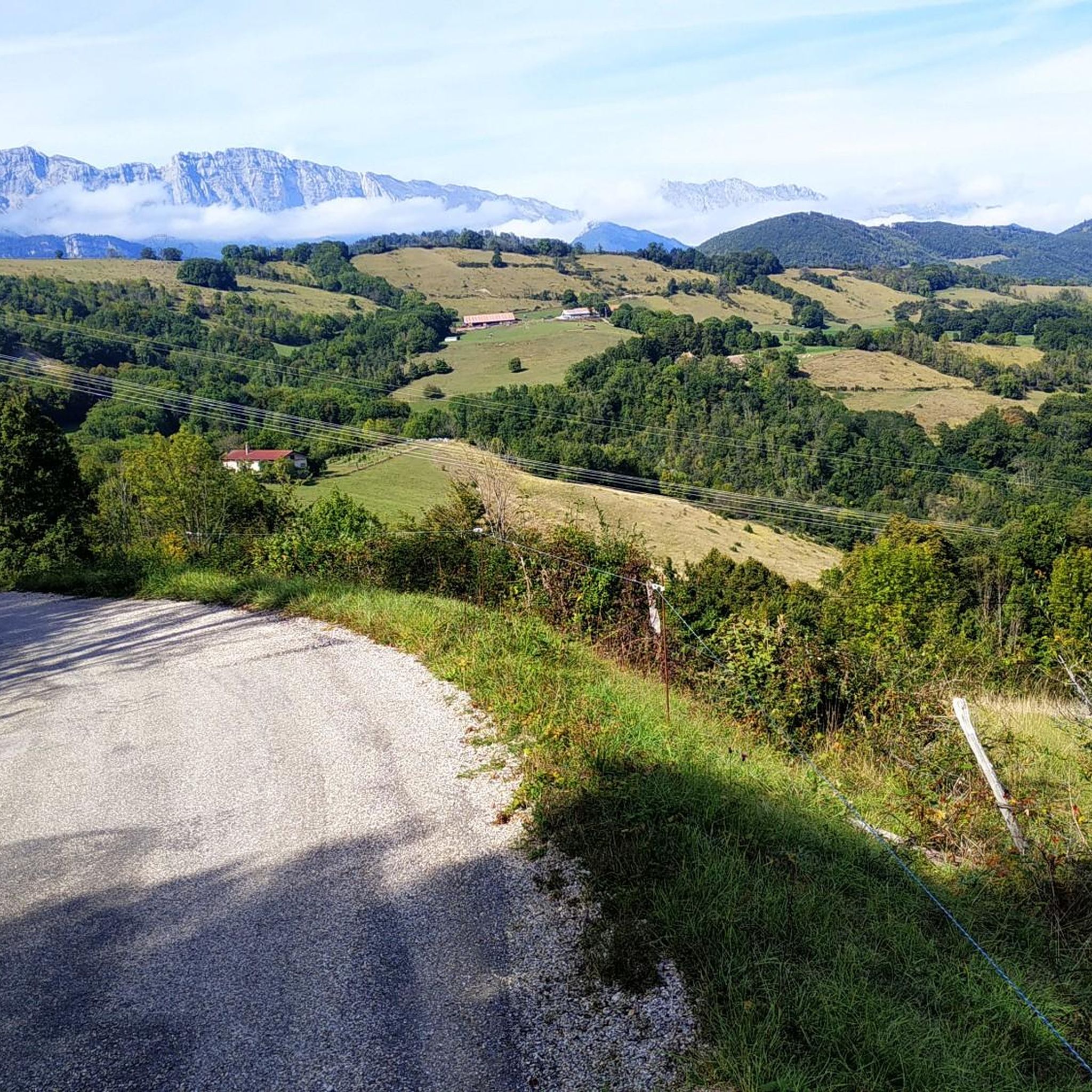
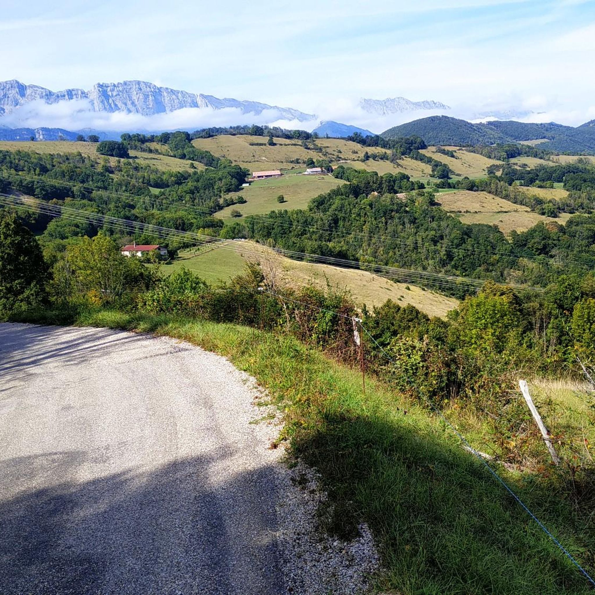
In the village of Monteynard, go towards the orientation table 300m from the center on the left. Exceptional view
0
0

The mountain top La Peyrouse is located at an altitude of 1711m. Easily accessible via MTB route 10. It is sometimes difficult to cycle on the path from the top of Beauregard. Once on the La Peyrouse, the view is magnificent. The descent that follows is spectacular. Before you know it you are back at the bottom of the mountain.
0
0

Les Balcons du Drac are certainly very spectacular!
0
0

This is not in my opinion the best point of view. The best is located nearby, on a small road in the town of Monteynard, parallel to the main road but overlooking the main road. You are higher and have a better view in my opinion.
0
0

Magnificent belvedere on the Vercors and the Trieves. Too much traffic unfortunately.
1
0

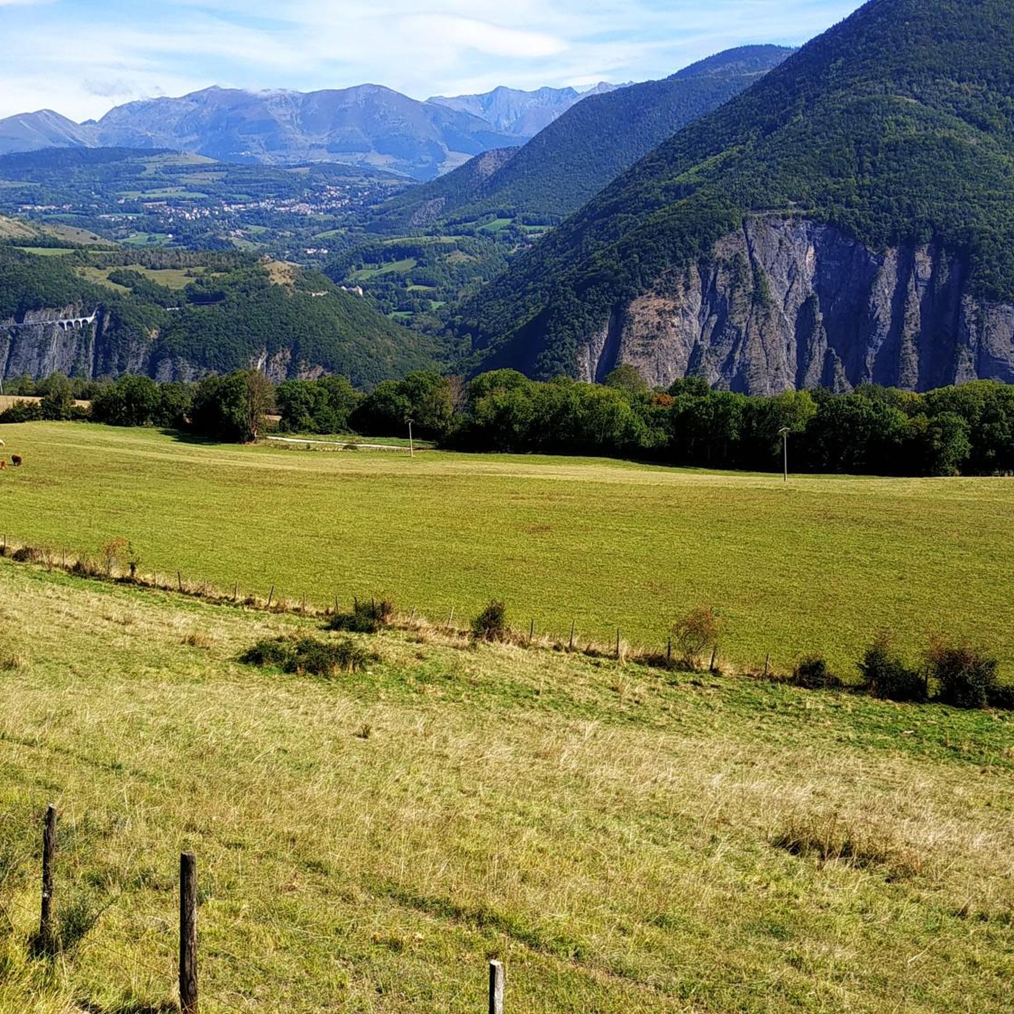
Views of Lac du Monteynard and its Azul colored waters below. If you want to go down to the water's edge, you'll have to go around the other side.
0
0

The view takes in all of Trièves with Mont-Aiguille as a witness
1
0
associative trade, great welcome, very good products. perfect place to take a break!
2
0
Frequently Asked Questions
How many running routes are available around Avignonet?
There are over 240 running routes in the Avignonet area, catering to various fitness levels. This includes 6 easy routes, 57 moderate routes, and 178 challenging trails for experienced runners.
Are there any easy or beginner-friendly jogging trails in Avignonet?
Yes, Avignonet offers a selection of easier jogging trails. While many routes feature significant elevation, you can find flatter sections, particularly along river valleys. Look for routes marked as 'easy' or 'moderate' for a more relaxed experience.
What kind of scenery can I expect on jogging routes in Avignonet?
Jogging routes around Avignonet offer diverse scenery, from dense forests and open countryside to picturesque river valleys and water features. You'll encounter footbridges, and many trails provide expansive views, especially on routes with higher elevation gain. For specific scenic highlights, consider routes near Ebron Footbridge or viewpoints overlooking Lake Laffrey.
Are there any circular running routes in the Avignonet area?
Yes, many of the running routes around Avignonet are designed as loops. For example, the Burning Fountain loop from Miribel-Lanchâtre is a popular circular option, offering a mix of forest trails and open sections. The La Gresse loop from Saint-Martin-de-la-Cluze is another great choice for a moderate circular run.
Can I find jogging routes with parking facilities in Avignonet?
Most trailheads for running routes in Avignonet are accessible by car and typically have designated parking areas nearby. It's always recommended to check the specific route details on komoot for information on parking availability at the starting point of your chosen trail.
Are there any family-friendly running trails suitable for children?
For families, it's best to look for the 'easy' or 'moderate' rated routes, which tend to be shorter and have less challenging terrain. The La Gresse loop from Saint-Martin-de-la-Cluze, for instance, is a moderate 4.5-mile trail through river valleys that could be suitable for active families.
What do other runners say about the trails in Avignonet?
The running routes in Avignonet are highly rated by the komoot community, with an average score of 4.3 stars from over 60 reviews. Runners often praise the varied terrain, the beautiful natural surroundings, and the challenge offered by the more difficult trails.
Are there any dog-friendly running trails around Avignonet?
Many of the natural trails and paths in the Avignonet region are suitable for running with dogs, provided they are kept under control, especially in areas with livestock or wildlife. Always check local regulations and be mindful of other trail users. The varied landscape offers plenty of space for you and your canine companion.
What are some notable landmarks or attractions near the jogging routes?
While jogging, you might encounter various points of interest. The region features several mountain passes like Col de l'Arzelier and Serpaton Pass, offering stunning views. There are also beautiful lakes such as La Moucherolle Lake and Lake Laffrey, which can be seen from various viewpoints along the trails.
Are there any challenging running routes for experienced athletes?
Absolutely. Avignonet is known for its challenging terrain. The Ebron Footbridge – View of the Brion Bridge loop from Treffort is a difficult 14.2-mile trail with significant elevation gain, perfect for experienced runners seeking a demanding workout and expansive views. Another challenging option is the Épicerie-Café chez Jeanne loop from Saint-Martin-de-la-Cluze.
What is the best season for running in Avignonet?
The best season for running in Avignonet largely depends on your preference. Spring and autumn offer pleasant temperatures and vibrant scenery. Summer can be warm, so early morning or late evening runs are ideal, especially on shaded forest trails. Winter running is possible, but higher elevation routes may be affected by snow and ice, requiring appropriate gear.
Are there running routes that pass by cafes or places to refuel?
Some routes may pass through or near villages where you can find cafes or small shops. For example, the Épicerie-Café chez Jeanne loop from Saint-Martin-de-la-Cluze starts and ends near a local cafe, offering a convenient spot for a post-run refreshment. Always check the route map for specific amenities along the way.
Most popular routes around Avignonet
Most popular attractions around Avignonet

Get inspired with the komoot mobile app


Explore more
Browse the best Running Trails & Routes in other regions.
