The best walks and hikes around Vulaines-Lès-Provins
4.6
(113)
701
hikers
68
hikes
Hiking around Vulaines-Lès-Provins offers varied landscapes, characterized by the agricultural plateaus of Brie de Provins and the gently undulating relief shaped by river valleys. The Voulzie river and its tributaries create natural scenery, with preserved woodlands and hillsides. The region also benefits from nearby forested areas like the Chenoise forest and the significant wetlands of the National Nature Reserve of La Bassée.
Best hiking trails around Vulaines-Lès-Provins
- The most popular hiking route is Boulevard d'Aligre Canal Path – Cesar tower…
Last updated: July 5, 2026
4.2
(12)
40
hikers
14.8km
03:58
170m
170m
Moderate hike. Good fitness required. Easily-accessible paths. Suitable for all skill levels.
4.8
(8)
49
hikers
7.54km
02:03
100m
100m
Moderate hike. Good fitness required. Easily-accessible paths. Suitable for all skill levels.

Sign up for free
4.8
(5)
50
hikers
4.50km
01:13
60m
60m
Easy hike. Great for any fitness level. Easily-accessible paths. Suitable for all skill levels.
4.3
(3)
29
hikers
2.86km
00:45
20m
20m
Easy hike. Great for any fitness level. Easily-accessible paths. Suitable for all skill levels.
5.0
(2)
7
hikers
Moderate hike. Good fitness required. Easily-accessible paths. Suitable for all skill levels.
Get access to more routes and recommendations from other explorers.
Sign up for free
Already have an account?
Our route recommendations are based on thousands of hikes, rides, and runs completed by other people on komoot.
Start today with a free account
Your next adventure awaits.
Login or Signup
Tips from the Community

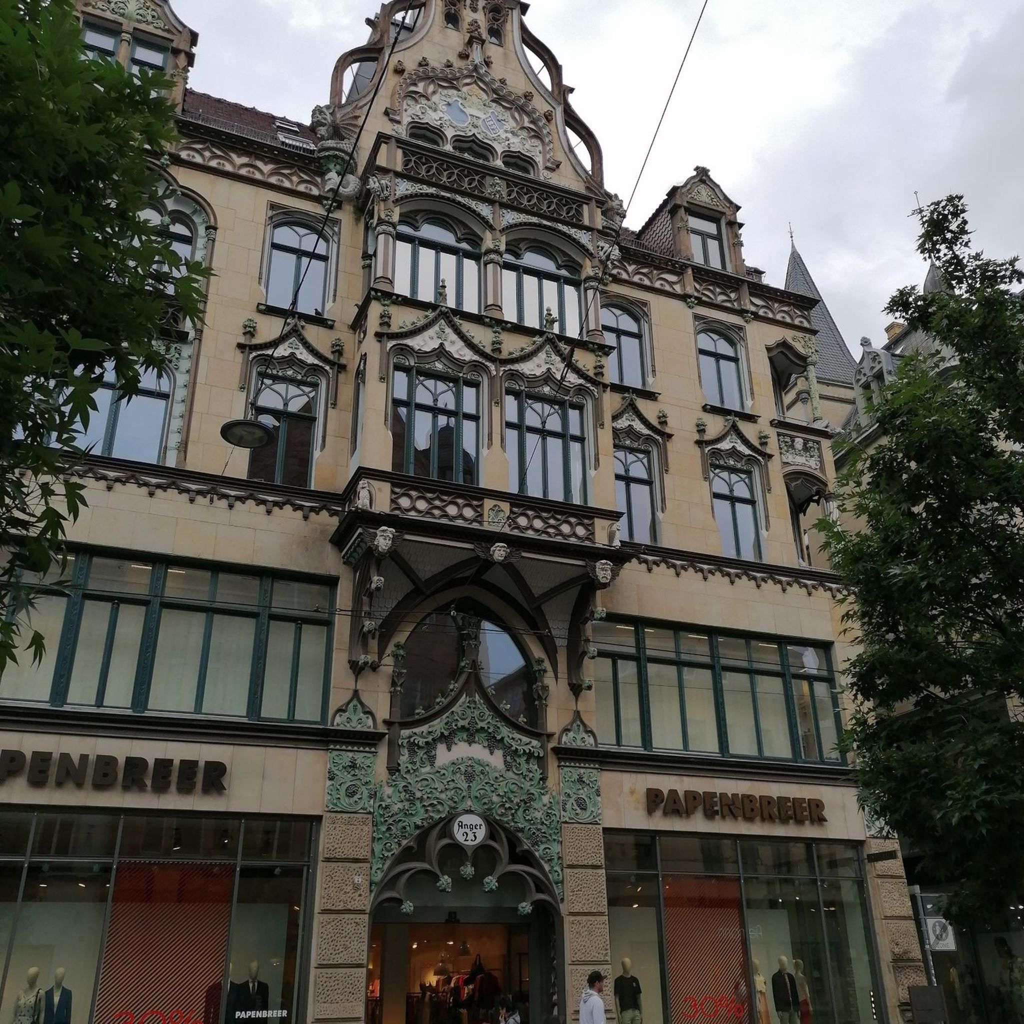
It is crossed by the Rue d'Aligre and the Rue de Cotte and is also accessible via the Rue Emilio-Castelar, the Rue Théophile-Roussel and the Rue Beccaria. It is the center of the historic and popular Parisian district, called the Aligre district, which itself is more or less part of the Quinze-Vingts administrative district. On this square (as well as in the Rue d'Aligre) the Aligre market takes place every day except Monday. The second-hand dealers gather outside, in a semicircle on the eastern half of the square, in the middle of which stands the small town hall. The Beauvau market, a covered market, is located on the western half of the square, rectangular.
0
0


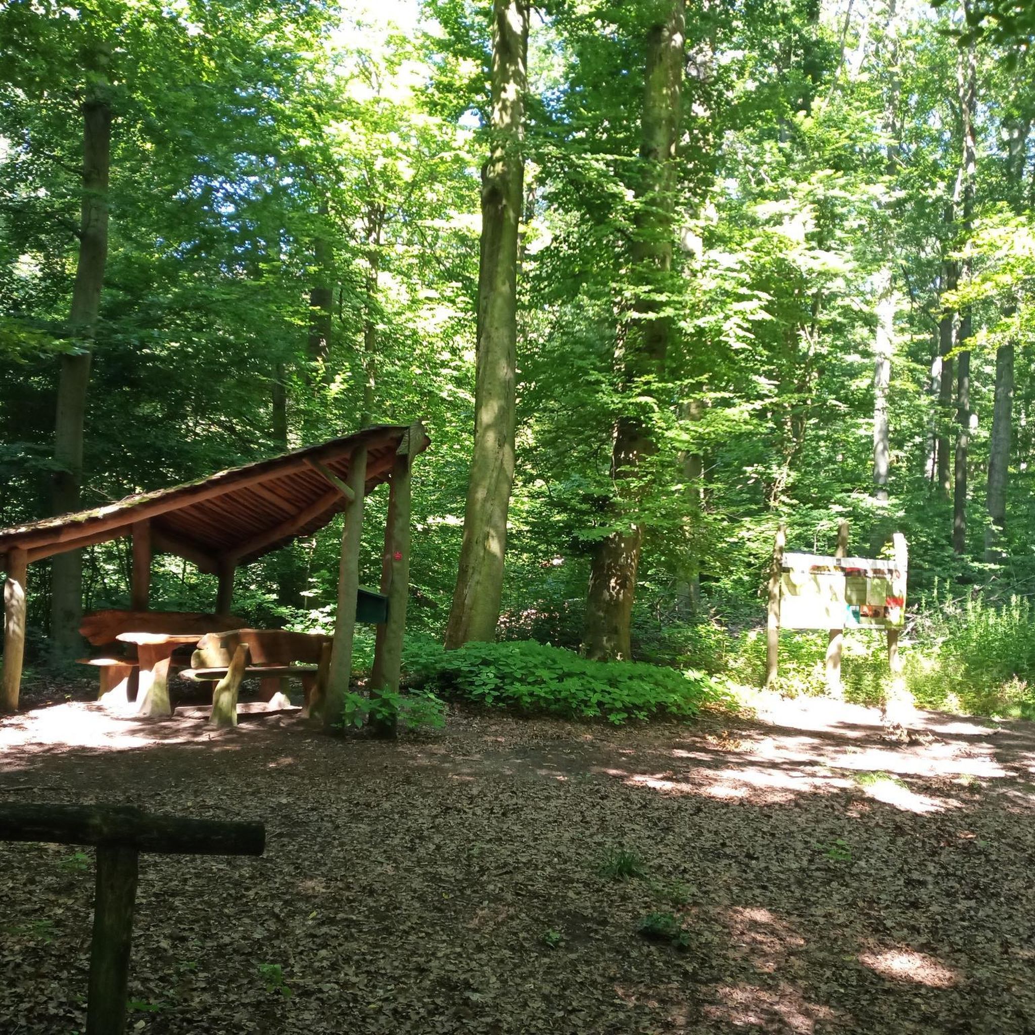
Picnic area at the foot of the village of Saint-Loup de Naud
0
0

aint Loup-de-Naud located near Provins, has a Romanesque church from the 11th and 12th centuries, considered one of the most beautiful Romanesque buildings in Île-de-France. It has a barrel-shaped nave and a portal in early Gothic style with a remarkable tympanum depicting Christ in majesty between the symbols of the evangelists. New for the time, statues of saints and prophets adorn the sides of the portal. No document allows us to precisely date the construction of the entire church. The portal would be from the second half of the 12th century (around 1160). The town is the seat of the Benedictine priory of Saint-Loup, the destination of an important pilgrimage in honor of the relics of Saint-Loup, bishop of Sens. The church was completed thanks to donations from Henry the Liberal, Count of Champagne. The priory was ruined by the English in 1432 and by the Protestants in 1567.
0
0

This church was sold during the revolution, a part being transformed into dwellings and the choir, used as a place of storage. To date this church, of Catholic origin, is desecrated.
1
0
The only remaining vestige of the collegiate church of Notre-Dame-du-Val, destroyed during the French Revolution.
0
0
Church located near the César tower, dating from the 12th century, which could never be finished due to its excessive cost.
0
0
The emblematic monument of Provins! You can visit Caesar's Tower (entrance fee or included in the Provins Pass) and enjoy the breathtaking view at the top.
3
0
Frequently Asked Questions
How many hiking trails are available around Vulaines-lès-Provins?
The area around Vulaines-lès-Provins offers a wide variety of hiking opportunities, with over 70 trails recorded on komoot. These routes cater to different preferences, including 31 easy, 33 moderate, and 6 difficult options.
What kind of terrain can I expect on hikes near Vulaines-lès-Provins?
Hiking around Vulaines-lès-Provins features diverse terrain. You'll encounter the agricultural plateaus of the Brie de Provins, gently undulating relief shaped by river valleys like the Voulzie, and preserved woodlands. The landscape is characterized by crest lines and cultivated fields, offering a mix of open spaces and shaded paths.
Are there easy hiking options suitable for beginners or casual walkers?
Yes, there are plenty of easy hiking options. Approximately 31 routes are classified as easy, perfect for beginners or those looking for a relaxed stroll. An example is the Cesar tower (12th century) – Notre-Dame-du-Val Tower loop from Provins, which is about 4.5 km long and leads through the historical area of Provins.
Are there any challenging hikes for experienced trekkers?
For more experienced hikers, there are 6 routes classified as difficult. These trails often feature more significant elevation changes or longer distances. The Cesar tower (12th century) – Trou au Chat Trail loop from Provins, for instance, is a moderate route that includes a section known for its challenging climb, offering a good test for your endurance.
What natural features or landscapes will I encounter on the trails?
The region is rich in natural beauty. You'll hike through the agricultural landscapes of the Brie de Provins, follow the serene Voulzie river and its tributaries, and explore conserved woodlands. Nearby, the magnificent Chenoise forest offers a natural setting, and the National Nature Reserve of La Bassée, the largest wetland in Île-de-France, is a significant natural gem for nature enthusiasts.
Are there any historical landmarks or attractions to see while hiking?
Absolutely. Many trails incorporate historical elements. The nearby Medieval City of Provins, a UNESCO World Heritage site, is a major highlight. You can explore its well-preserved architecture and landmarks. Specific attractions include the Saint-Quiriace Church of Provins and the iconic Cesar tower. The Cesar tower (12th century) – the moat loop from Provins is a shorter route that allows you to explore the historical area.
What do other hikers enjoy most about hiking in Vulaines-lès-Provins?
The hiking routes around Vulaines-lès-Provins are highly rated by the komoot community, with an average score of 4.6 stars from over 100 reviews. Hikers often praise the varied landscapes, the blend of natural beauty with historical sites, and the well-maintained paths that make exploration enjoyable.
Are there any circular hiking routes available?
Yes, many of the trails around Vulaines-lès-Provins are circular, allowing you to start and end at the same point. For example, the Boulevard d'Aligre Canal Path – Cesar tower (12th century) loop from Provins is a popular 14.8 km circular route featuring a canal path and historical landmarks.
Is it possible to access hiking trails using public transport?
While specific public transport details for each trailhead are best checked locally, the proximity to Provins, which is accessible by public transport, suggests that some routes originating from or near Provins might be reachable. It's advisable to research local bus services or train connections to Provins and then plan your hike accordingly.
Are there family-friendly hiking options in the area?
Yes, the region offers several family-friendly options, particularly the easier and shorter routes. Beyond hiking, attractions like the Jumping Forest Park in Chenoise forest with treetop adventure courses, and educational farms like La Mercy and Saint-Hilliers, provide engaging activities for families.
What is the best time of year to go hiking in Vulaines-lès-Provins?
The region is enjoyable for hiking across multiple seasons. Spring and autumn offer pleasant temperatures and beautiful scenery, with blooming flowers or vibrant fall foliage. Summer is also suitable, though it's best to start early to avoid the midday heat. Winter hiking is possible, but check local conditions for ice or snow, especially in forested areas.
Are there any trails that offer scenic viewpoints?
The undulating relief and river valleys naturally create opportunities for scenic views. The crest lines of the Brie de Provins offer expansive vistas over cultivated fields. Additionally, routes that pass through the Medieval City of Provins provide unique perspectives of its historical architecture and the surrounding countryside.
Most popular routes around Vulaines-Lès-Provins
Most popular attractions around Vulaines-Lès-Provins

Get inspired with the komoot mobile app


Explore more
Browse the best Hikes in other regions.
