The best walks and hikes around Moydans
4.3
(157)
699
hikers
60
hikes
Hiking around Moydans offers trails through the varied landscapes of the Parc naturel régional des Baronnies provençales. The region features rolling hills, forested areas, and open countryside, providing diverse environments for outdoor exploration. Elevations are generally moderate, with some routes ascending to viewpoints. The terrain is characteristic of a natural park, combining natural beauty with accessible paths.
Best hiking trails around Moydans
- The most popular hiking route is Montagne de Raton – loop in the Parc naturel régional des Baronnies…
Last updated: October 11, 2026
4.9
(31)
109
hikers
Moderate hike. Good fitness required. Easily-accessible paths. Suitable for all skill levels.
4.6
(14)
37
hikers
7.31km
02:22
330m
340m
Moderate hike. Good fitness required. Easily-accessible paths. Suitable for all skill levels.

5.0
(5)
22
hikers
6.17km
02:08
310m
310m
Moderate hike. Good fitness required. Easily-accessible paths. Suitable for all skill levels.
5.0
(2)
22
hikers
13.4km
04:31
640m
640m
Moderate hike. Good fitness required. Easily-accessible paths. Suitable for all skill levels.
4.9
(7)
28
hikers
7.38km
02:09
200m
200m
Moderate hike. Good fitness required. Easily-accessible paths. Suitable for all skill levels.
Get access to more routes and recommendations from other explorers.
Already have an account?
Our route recommendations are based on thousands of hikes, rides, and runs completed by other people on komoot.
Start today with a free account
Your next adventure awaits.
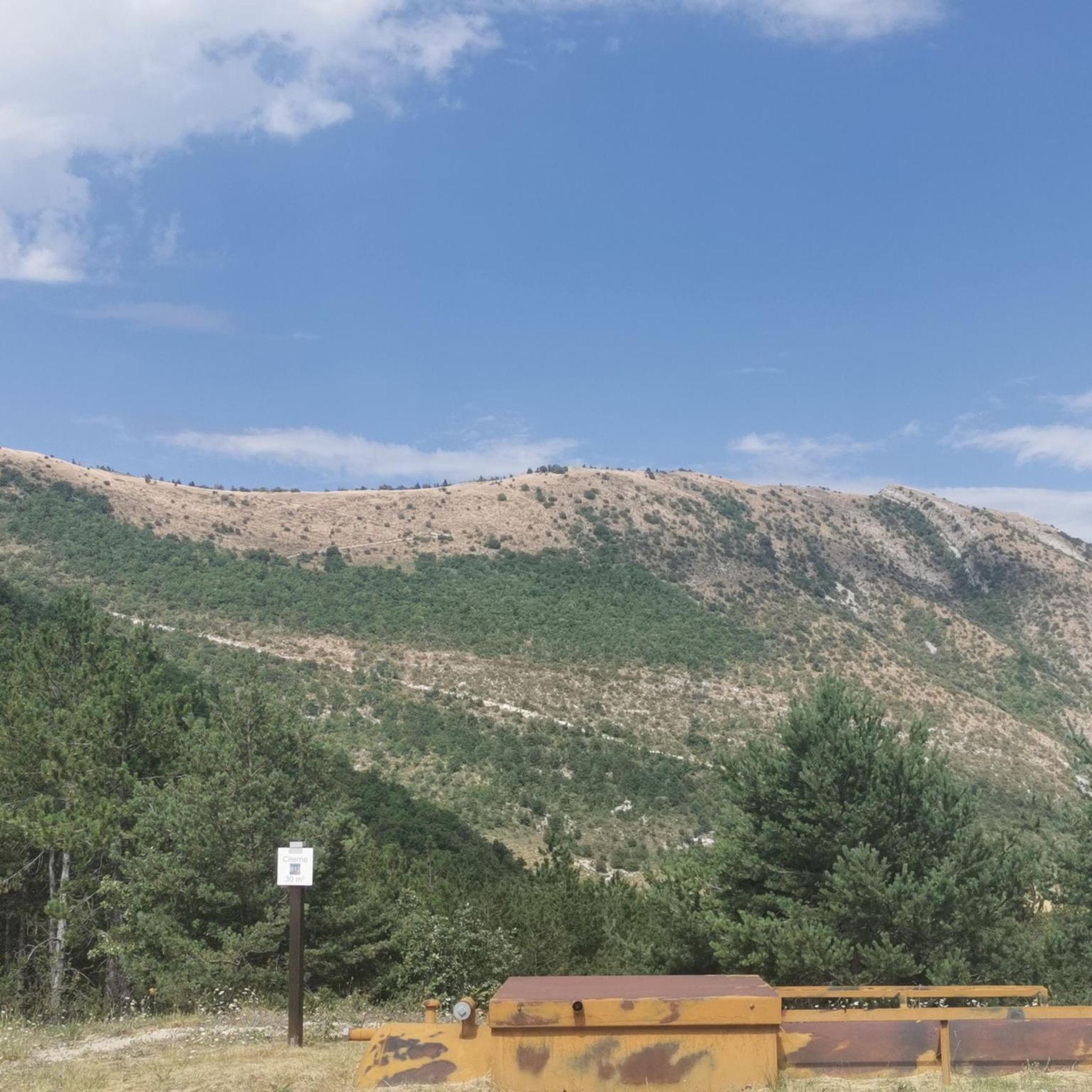
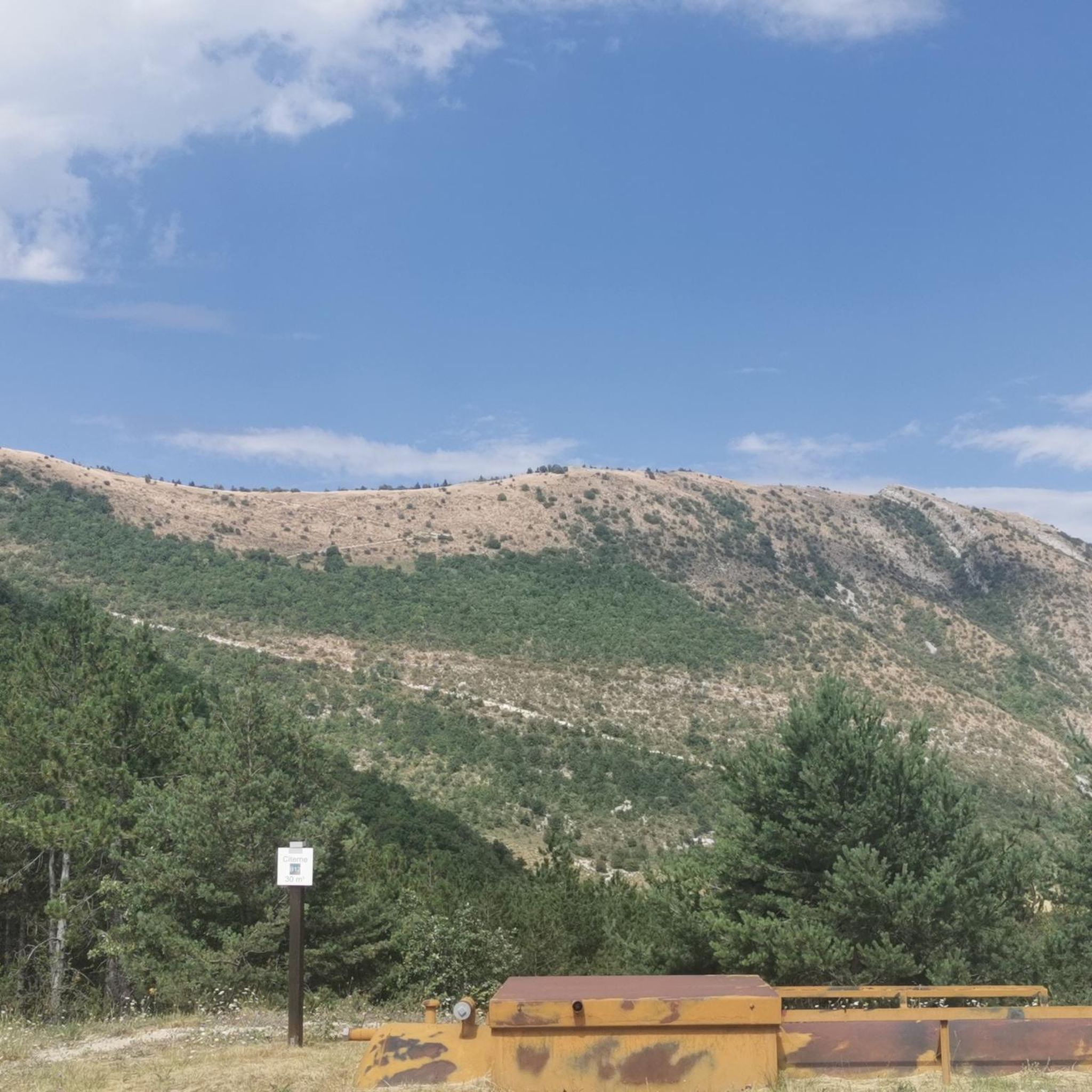
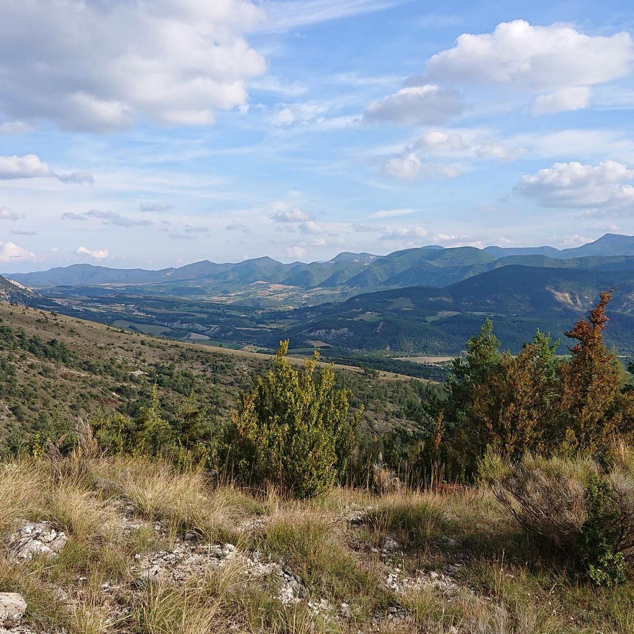
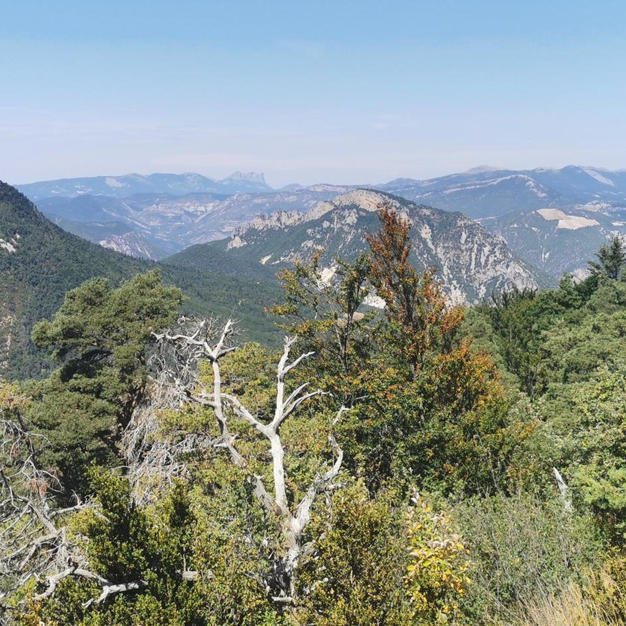
Tips from the Community

The ascent to Col de la Fromagère / Col de Pommerol from Rosans is located in the Hautes-Alpes region. This ascent is 6.6 km long, with a total elevation gain of 371 m. The average gradient of the ascent to Col de la Fromagère / Col de Pommerol from Rosans is 5.6%.
6
0
Very pretty small town.
5
0
Very pretty little village.
2
0

bring good shoes and a windbreaker at the top
0
0

Magnificent panorama. Once at the top, it's not very difficult and very pleasant.
0
0
Magnificent region. I recommend the guest rooms at the Château de Rosans.
0
0
Frequently Asked Questions
How many hiking trails are available around Moydans?
There are over 60 hiking routes in the Moydans area, catering to various skill levels. You'll find 9 easy trails, 41 moderate routes, and 10 more challenging options to explore the Parc naturel régional des Baronnies provençales.
Are there any family-friendly hiking trails in Moydans?
Yes, Moydans offers several easy trails suitable for families. For a pleasant outing, consider the Montagne de Raton – loop in the Parc naturel régional des Baronnies provençales, which is a moderate 3.4-mile (5.5 km) loop that can be enjoyed by those looking for a shorter, scenic walk.
What do other hikers say about the trails in Moydans?
The hiking trails around Moydans are highly regarded by the komoot community, with an average rating of 4.4 stars from over 135 reviews. Hikers often praise the varied terrain, from rolling hills to forested areas, and the accessible paths within the natural park.
Are there circular hiking routes available in Moydans?
Yes, many routes in Moydans are circular, allowing you to start and end at the same point. A popular option is the Rosans – Panorama Rosans loop from Rosans, a 3.8-mile (6.2 km) trail offering lovely views of the local countryside.
What kind of views can I expect on the Moydans hiking trails?
The trails in Moydans offer diverse views, including rolling hills, open countryside, and forested landscapes characteristic of the Parc naturel régional des Baronnies provençales. Routes like Rosans – View of Rosans at Sunset loop from Rosans provide panoramic vistas, especially towards the Rosans area.
Are there any notable landmarks or attractions near the hiking routes?
Yes, the region around Moydans features several interesting landmarks. You can explore the historic La Charce Castle, visit the charming settlement of Rosans, or discover the natural beauty of Pommerol Gorges. The Montagne de Raton also offers a prominent natural feature.
What is the best time of year to go hiking in Moydans?
The best time for hiking in Moydans is typically from spring through autumn, when the weather is mild and the natural park's landscapes are at their most vibrant. Summers are generally warm and sunny, while spring and autumn offer cooler temperatures and beautiful seasonal colors.
Are there any long-distance or more challenging hikes in the area?
For those seeking a longer and more challenging experience, Moydans offers several difficult routes. An example is the Rosans – COL DE POMMEROL loop from Rosans, which covers 8.3 miles (13.4 km) with significant elevation gain, leading you through more demanding terrain.
Is public transport available to access the Moydans hiking trails?
While specific public transport links directly to every trailhead might be limited in this natural park region, major towns nearby may offer bus services. It's advisable to check local transport schedules for connections to villages like Rosans or Saint-André-de-Rosans, which serve as starting points for several routes, such as the Saint-André-de-Rosans loop from Saint-André-de-Rosans.
What should I wear for hiking in Moydans?
Given the varied terrain and moderate elevations, it's recommended to wear comfortable hiking shoes with good grip. Layered clothing is ideal to adapt to changing weather conditions, and bringing water, sun protection, and a map or GPS device is always wise for exploring the natural park.
Are dogs allowed on the hiking trails in Moydans?
Generally, dogs are permitted on trails within the Parc naturel régional des Baronnies provençales, often on a leash to protect wildlife and ensure the safety of other hikers. However, specific regulations can vary, so it's always best to check local signage or park guidelines for any particular route you plan to take.
Are there cafes or refreshment stops near the hiking trails?
While the trails themselves are primarily natural, you'll find cafes and small shops in the nearby villages such as Rosans or Saint-André-de-Rosans. These villages serve as excellent starting or ending points for your hike, where you can refuel before or after your adventure.
Most popular attractions around Moydans

Get inspired with the komoot mobile app


Explore more
Browse the best Hikes in other regions.
