The best running trails around Étoile-Saint-Cyrice
4.4
(15)
264
runners
24
runs
Jogging routes around Étoile-Saint-Cyrice are set in the Southern French Alps, a region characterized by its mid-mountain landscapes and an altitude of approximately 900 meters. The area offers diverse terrain for runners, including refreshing woodlands and open ridges that provide panoramic views. Natural features like the Sommet de la Fayée, the highest point at 1294 meters, and the Forest Domaniale de Saint-Cyrice contribute to varied running experiences.
Best jogging routes in Étoile-Saint-Cyrice
- The most popular jogging route is Orpierre village…
Last updated: July 10, 2026
5.0
(1)
37
runners
9.02km
01:33
600m
600m
Hard run. Very good fitness required. Sure-footedness, sturdy shoes and alpine experience required.
4.3
(3)
35
runners
4.95km
00:48
300m
300m
Hard run. Good fitness required. Sure-footedness, sturdy shoes and alpine experience required.

Sign up for free
4.7
(6)
20
runners
6.44km
00:53
240m
240m
Hard run. Good fitness required. Sure-footedness, sturdy shoes and alpine experience required.
12
runners
16.5km
02:26
760m
760m
Hard run. Very good fitness required. Sure-footedness, sturdy shoes and alpine experience required.
4.7
(3)
9
runners
21.5km
03:06
1,010m
1,010m
Hard run. Very good fitness required. Sure-footedness, sturdy shoes and alpine experience required.
Get access to more routes and recommendations from other explorers.
Sign up for free
Already have an account?
Our route recommendations are based on thousands of hikes, rides, and runs completed by other people on komoot.
Start today with a free account
Your next adventure awaits.
Login or Signup
Tips from the Community

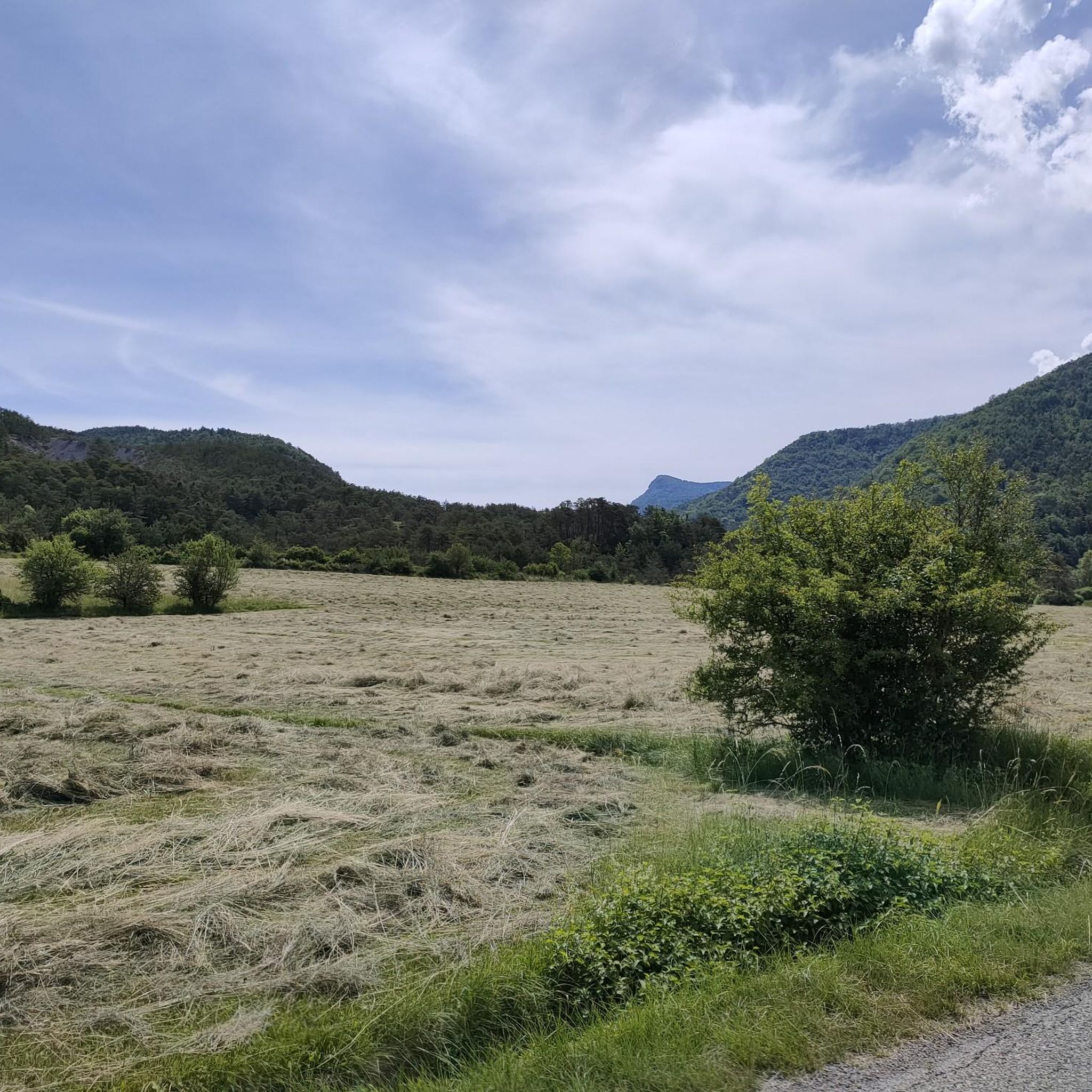
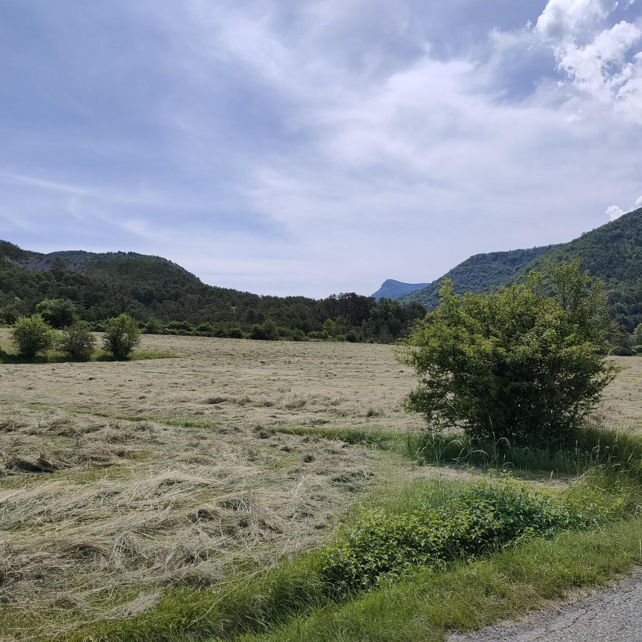
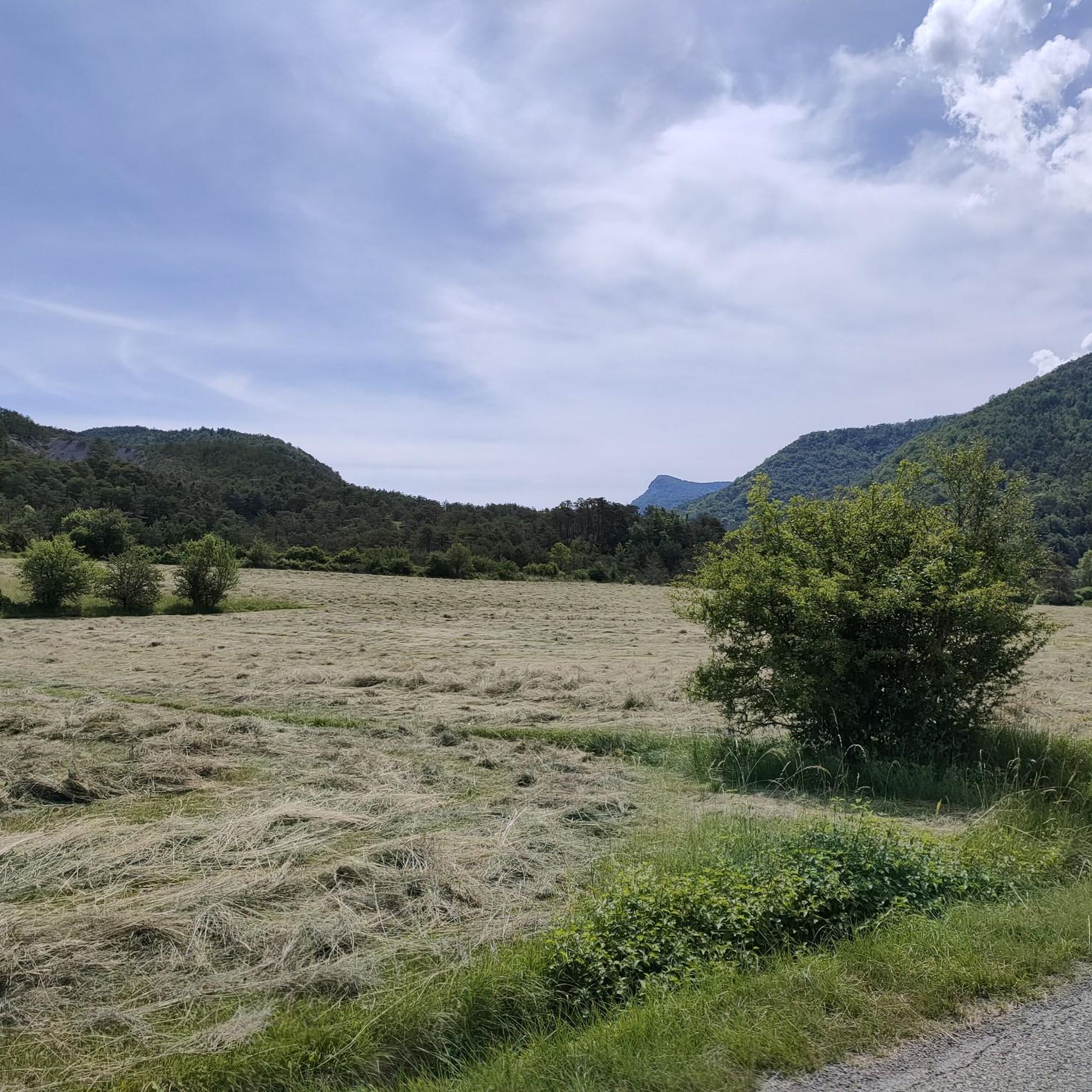
Orpierre is a small medieval village located in the Hautes-Alpes department in the Provence-Alpes-Côte d’Azur region of southeastern France. It has a population of between 300 and 330 inhabitants and stands in the Céans valley, surrounded by limestone cliffs and mountains that give it a unique landscape setting.
14
0
Orpierre is a small medieval village located in the Hautes-Alpes, in the Provence-Alpes-Côte d'Azur region, in southeastern France.
11
0

the drinking water fountain in the village of Orpierre
2
0

In rainy days the water is higher, so be prepared to take off your shoes:)
0
0

Orpierre is a tiny, pretty village at an altitude of 700 m with around 300 inhabitants in the middle of the cliffs. It has everything you need. A good starting point for hiking, cycling and climbing.
3
0

A very special place, not just for climbers. Pure easy living
0
0

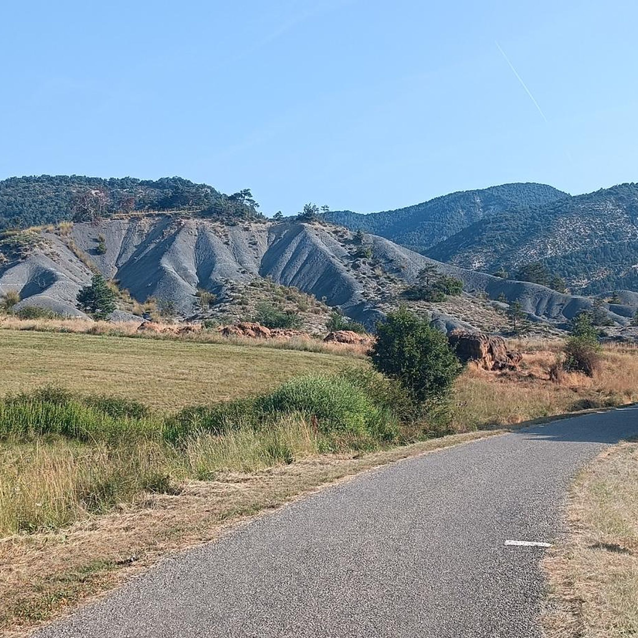
Superb path overlooking the village of Orpierre. The view of the castle and the village is splendid. The path winds along the slopes of Rochas.
0
0
Frequently Asked Questions
How many running routes are available in Étoile-Saint-Cyrice?
There are over 30 running routes around Étoile-Saint-Cyrice, offering a variety of distances and difficulty levels for joggers of all abilities.
What kind of terrain can I expect on the running trails in Étoile-Saint-Cyrice?
The region offers diverse terrain, characteristic of the Southern French Alps. You'll find refreshing woodlands, open ridges with panoramic views, and mid-mountain landscapes. Some routes, like the one leading to the Sommet de la Fayée, offer challenging climbs, while others, such as those in the Forest Domaniale de Saint-Cyrice, provide shaded and serene paths.
Are there any easy running routes for beginners in Étoile-Saint-Cyrice?
Yes, while many routes are challenging, there is at least one easy running route available. The Forest Domaniale de Saint-Cyrice, for example, offers accessible paths suitable for a serene and less strenuous run.
Can I find long-distance running trails in Étoile-Saint-Cyrice?
Absolutely. For those seeking a longer challenge, routes like the Orpierre – Sainte-Colombe loop from Orpierre cover over 21 kilometers with significant elevation gain, providing an excellent long-distance running experience.
Are there circular running routes available in Étoile-Saint-Cyrice?
Many of the running routes in Étoile-Saint-Cyrice are designed as loops, allowing you to start and finish in the same location. Examples include the Orpierre village centre – Orpierre loop from Orpierre and the Viewpoint loop from Orpierre.
What natural features can I explore while running in Étoile-Saint-Cyrice?
The region is rich in natural beauty. You can run through the serene La Tussie forest, explore the dramatic Gorges de la Méouge, or enjoy the mid-mountain landscapes leading to the Sommet de la Fayée.
Are there any historical landmarks along the running paths in Étoile-Saint-Cyrice?
Yes, the area is part of the historic Route of the Princes of Orange, and you can encounter cultural landmarks. The Romanesque Chapel of Saint-Cyrice, dating back to the 11th-12th century, is nestled within the Forest Domaniale de Saint-Cyrice, offering a blend of nature and history on your run.
What do other runners enjoy most about jogging in Étoile-Saint-Cyrice?
The running routes in Étoile-Saint-Cyrice are highly rated by the komoot community, with an average score of 4.8 stars from over 10 reviews. Runners often praise the varied terrain, the rewarding vistas, and the overall inspiring backdrop of the serene mid-mountain landscapes.
What is the best season for running in Étoile-Saint-Cyrice?
Given its location in the Southern French Alps at an altitude of 900 meters, spring and autumn generally offer the most pleasant conditions for running, with mild temperatures and vibrant scenery. Summer can also be enjoyable, especially in shaded forest areas, while winter may present challenges due to snow and colder temperatures at higher elevations.
Are the running trails in Étoile-Saint-Cyrice suitable for families?
Yes, the diverse network of trails includes options suitable for families. The Forest Domaniale de Saint-Cyrice, for instance, offers a very easy 3.8 km walk that can be enjoyed as a family-friendly jog, providing a gentle introduction to the region's natural beauty.
Are there dog-friendly running routes in Étoile-Saint-Cyrice?
While specific regulations for dogs on trails can vary, the natural and open character of many routes in Étoile-Saint-Cyrice, particularly through woodlands and open ridges, generally makes them suitable for running with dogs, provided they are kept under control and local guidelines are respected.
Are there running routes with significant elevation gain for a challenging workout?
For runners seeking a challenge, Étoile-Saint-Cyrice offers several routes with substantial elevation gain. The Orpierre – View of the Bagnols ravine loop from Orpierre, for example, features over 760 meters of ascent, providing a demanding and rewarding trail running experience.
Most popular routes around Étoile-Saint-Cyrice
Most popular attractions around Étoile-Saint-Cyrice

Get inspired with the komoot mobile app


Explore more
Browse the best Running Trails & Routes in other regions.
