The best road cycling routes around Sainte-Colombe
4.6
(152)
3,003
riders
42
rides
Road cycling around Sainte-Colombe offers diverse landscapes, from rolling hills and picturesque valleys to greenways and former railway lines. The region's topography provides varied cycling experiences, including routes with mostly paved surfaces and options with significant elevation gain. Cyclists can explore routes that wind around natural features like Lake Montbel or follow the Greenways of the Cathar Pyrenees. This area is characterized by lush greenery and offers a network of trails suitable for different fitness levels.
Best road cycling routes…
Last updated: July 9, 2026
4.7
(7)
69
riders
63.7km
02:53
720m
720m
Moderate road ride. Good fitness required. Mostly well-paved surfaces and easy to ride.
5.0
(2)
50
riders
49.5km
02:40
930m
930m
Hard road ride. Very good fitness required. Mostly well-paved surfaces and easy to ride.

Sign up for free
4.5
(2)
71
riders
44.7km
02:23
890m
890m
Moderate road ride. Good fitness required. Mostly well-paved surfaces and easy to ride.
4.0
(1)
45
riders
44.4km
02:49
970m
970m
Hard road ride. Very good fitness required. Some segments of this route may be unpaved and difficult to ride.
4.4
(5)
32
riders
25.9km
01:11
280m
280m
Easy road ride. Great for any fitness level. Mostly well-paved surfaces and easy to ride.
Get access to more routes and recommendations from other explorers.
Sign up for free
Already have an account?
Our route recommendations are based on thousands of hikes, rides, and runs completed by other people on komoot.
Start today with a free account
Your next adventure awaits.
Login or Signup
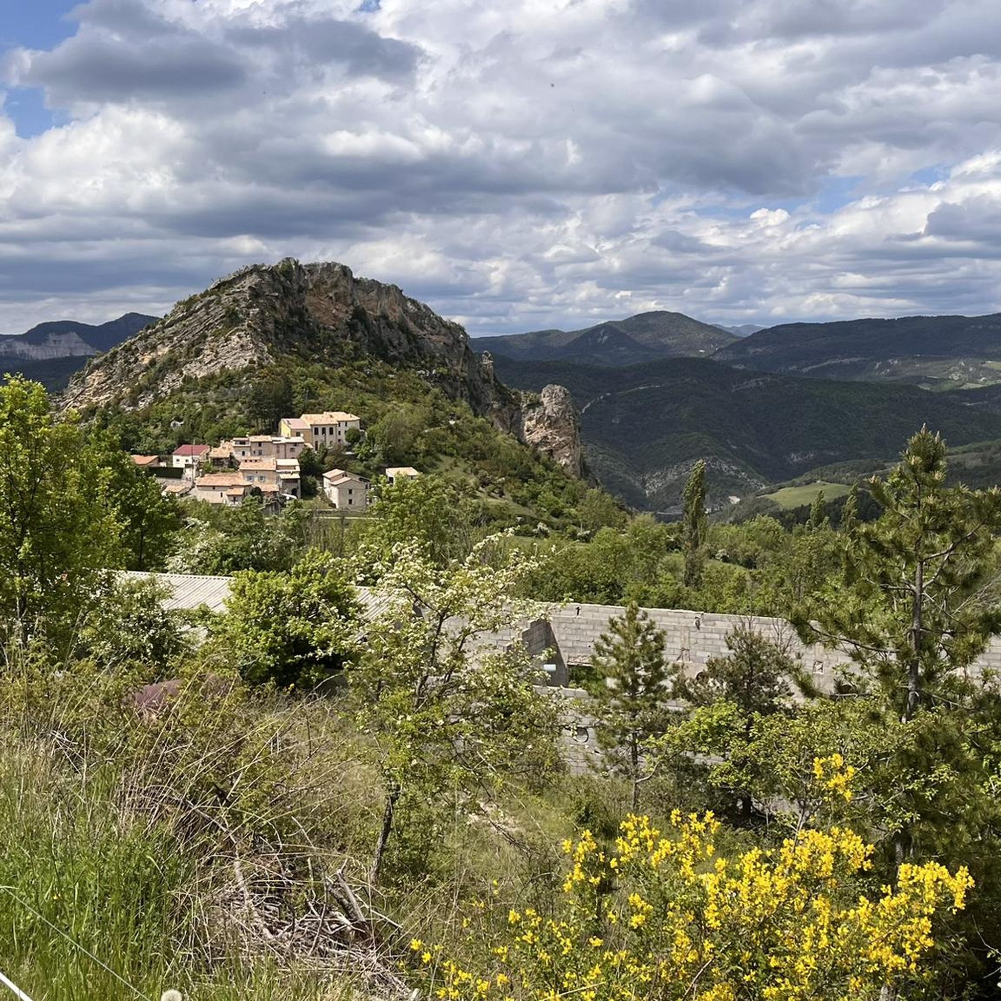
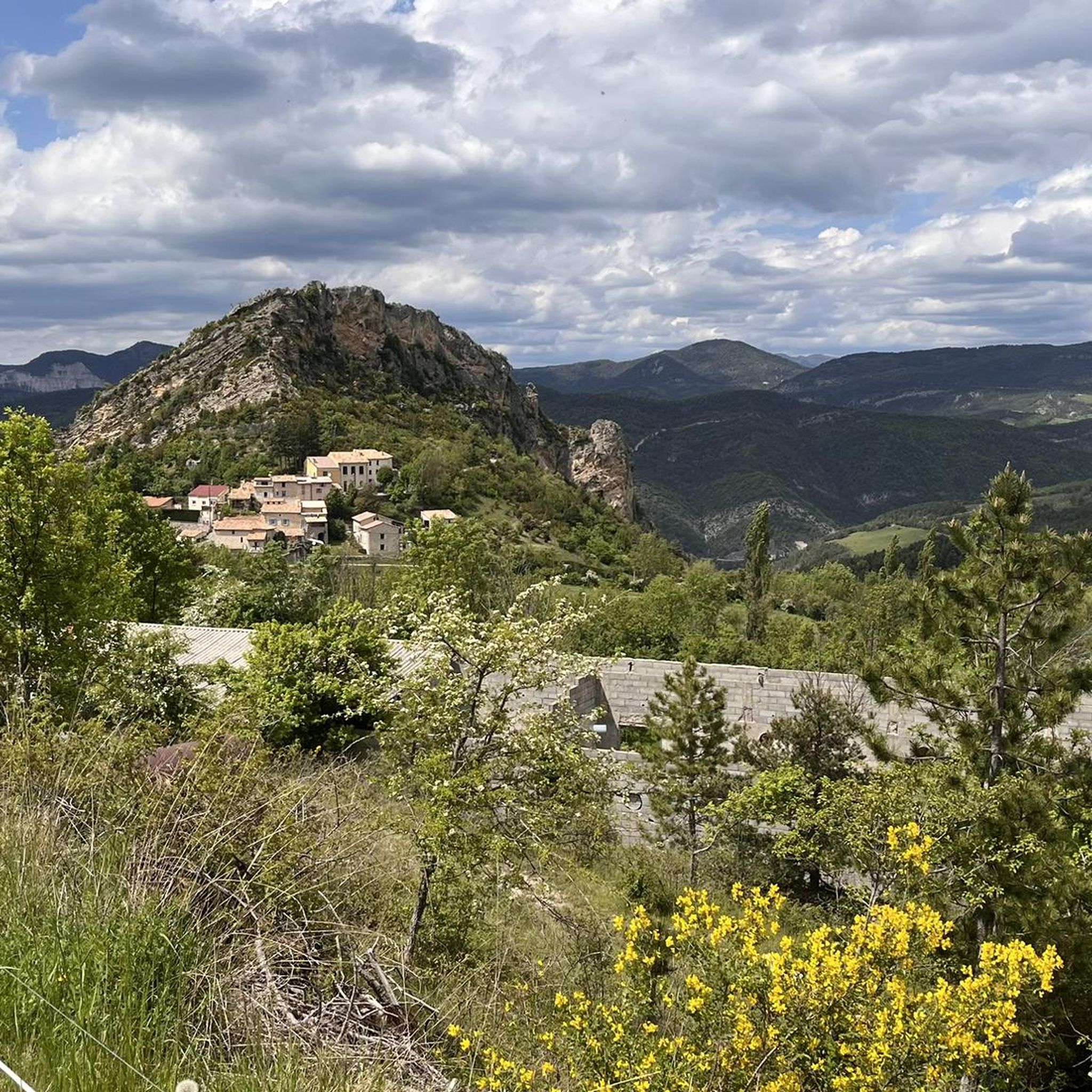
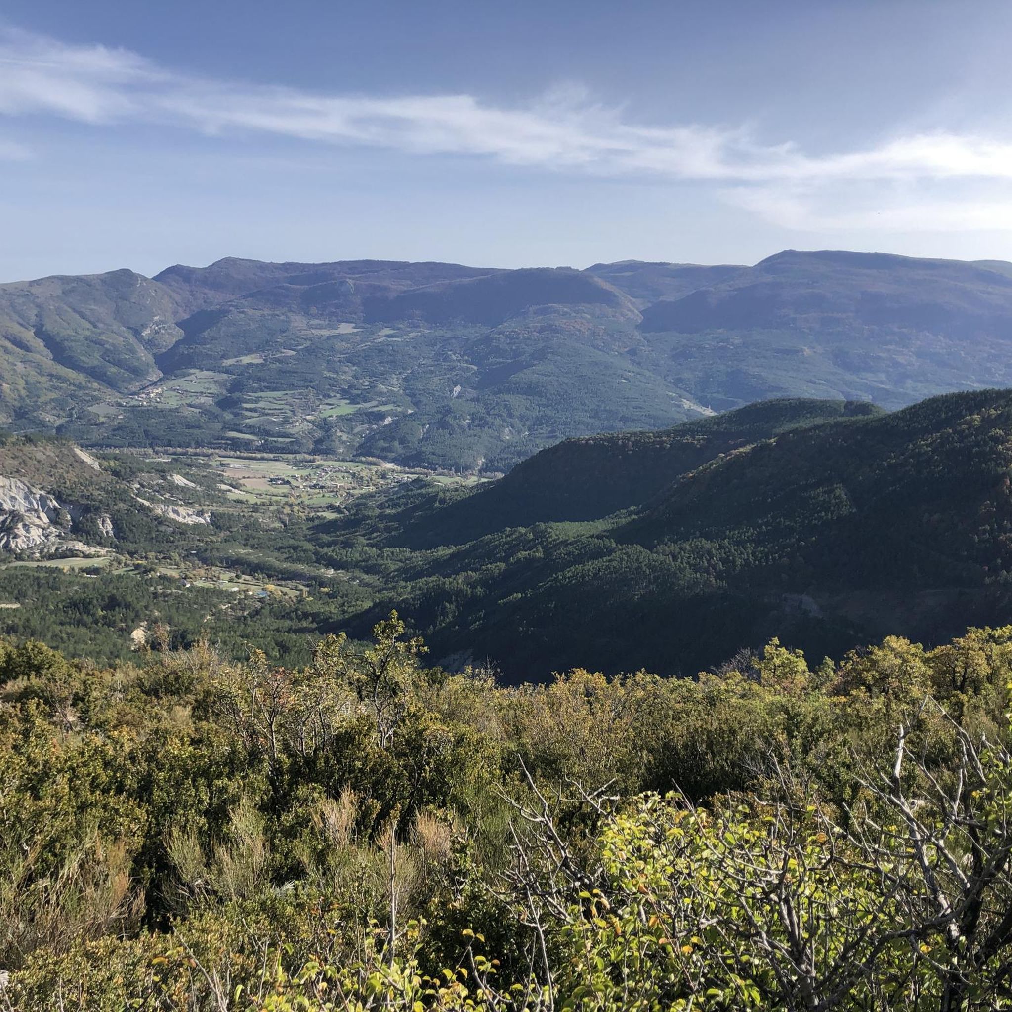
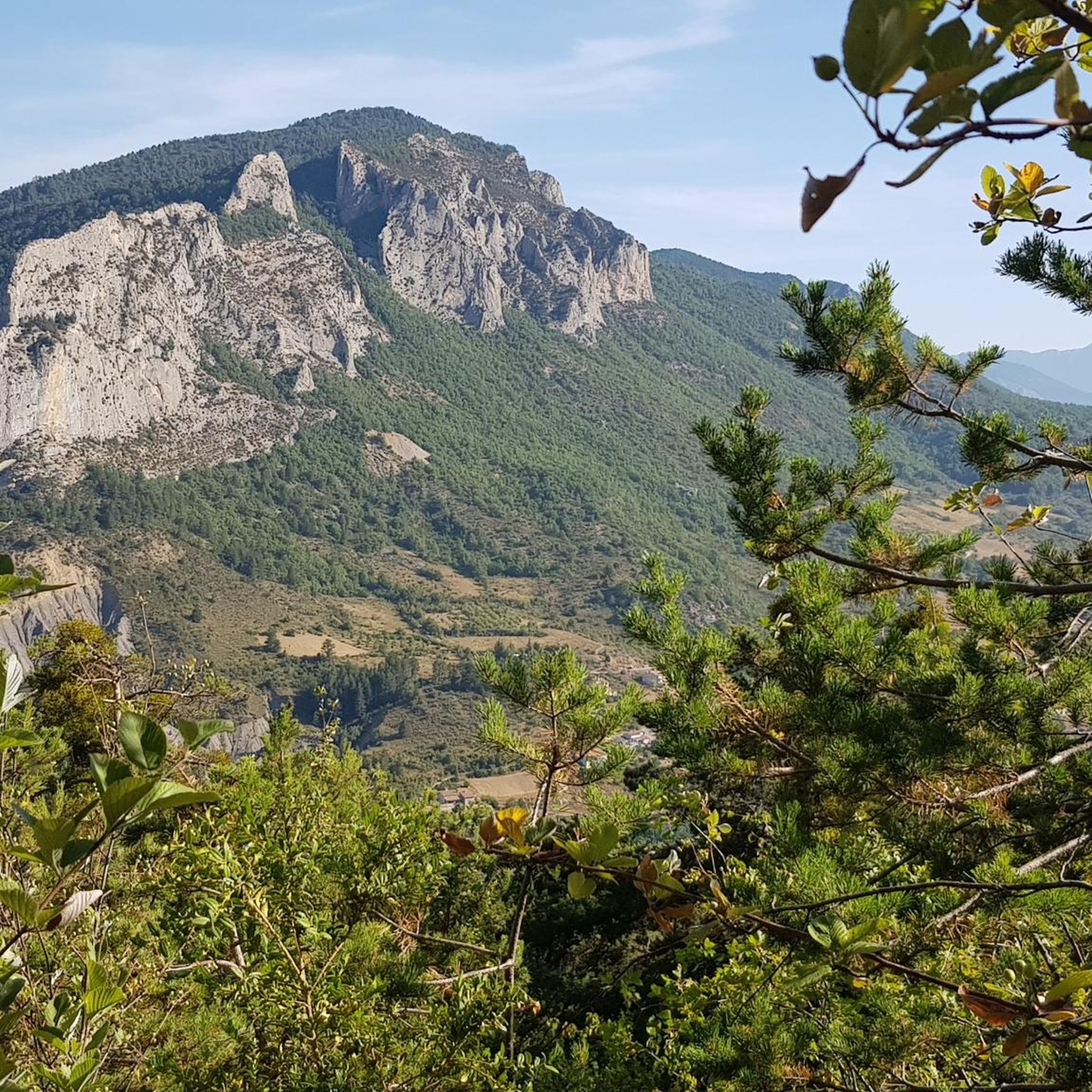
Tips from the Community

Secondary road away from traffic. Asphalt in perfect condition.
8
0
For cyclists: * West side (Montauban-sur-l’Ouvèze / La Combe): 11-12.5 km with an average gradient of around 5%, maximum about 9%. Steady climb, never extreme. * East side (Laborel): 8.5 km at 5.6% on average, with peaks up to 7.7%. This is the shorter and smoother side.
11
0
Col de Perty is located in the Baronnies Provençales massif, in the Drôme department, in the Auvergne-Rhône-Alpes region, in the southeast of France. It reaches an altitude of 1,302 m and connects the Ouvèze valley with the Orpierre area, in the Hautes-Alpes.
11
0
Altitude: 1,159 m * Region: Drôme, on the border with the Hautes-Alpes department. * Connects: the villages of Laborel and Lachau with the Céans valley.
5
0
A road that cuts out the traffic, Unforgettable panoramas
15
0
The Col de Faye is a mountain pass in the Southern Alps, located in the department of Hautes-Alpes at an altitude of approximately 922 to 924 meters. It connects the Buëch valley to the Durance valley — between the municipalities of Savournon and Ventavon — via the departmental road D21.
15
0
Orpierre is a small medieval village located in the Hautes-Alpes department in the Provence-Alpes-Côte d’Azur region of southeastern France. It has a population of between 300 and 330 inhabitants and stands in the Céans valley, surrounded by limestone cliffs and mountains that give it a unique landscape setting.
17
0
The Col de Pierre-Vesce is a mountain pass located in the Drôme department, in the heart of the Baronnies Provençales massif. Some details: * 📍 Altitude: approximately 1,056 m (some less recent sources mention 1,013 m, but the altitude of the pass on the road is generally indicated as 1,056 m). * 🚴 It connects the municipalities of Laborel and Villebois-les-Pins. * ⛰️ The climb is short but demanding: * from Laborel: 3.3 km with an average gradient of 6.9%; * from Villebois-les-Pins: 2.3 km with an average gradient of 8.7%, with sections reaching almost 14%.
10
0
Frequently Asked Questions
How many road cycling routes are available around Sainte-Colombe?
There are over 40 road cycling routes around Sainte-Colombe, offering a wide range of options for different skill levels and preferences.
What kind of terrain can I expect when road cycling in Sainte-Colombe?
The region offers diverse terrain, from rolling hills and picturesque valleys to greenways and former railway lines. You'll find routes with mostly paved surfaces, as well as more challenging options with significant elevation gain, providing varied cycling experiences.
Are there routes suitable for beginners or those looking for an easy ride?
Yes, Sainte-Colombe has several easy road cycling routes. For instance, the Orpierre village centre – Orpierre loop from Orpierre is an easy 17.6-mile (28.4 km) trail that takes about 1 hour 12 minutes, leading through local villages and countryside.
What about challenging routes for experienced road cyclists?
Experienced cyclists will find plenty of challenging options. The Buesch dam – Orpierre loop from Orpierre is a difficult 50.9-mile (82.0 km) path with significant elevation gain, designed to test your climbing and descending skills.
Are there any circular road cycling routes in the area?
Many routes in the region are designed as loops, allowing you to start and end in the same location. An example is the moderate Serres – Montjay loop from Orpierre, a 35.3-mile (56.8 km) trail featuring varied terrain and scenic views.
What natural features or scenic views can I expect on road cycling routes?
Road cycling routes often wind around stunning natural features. You can explore areas near Lake Montbel, enjoy views of rolling hills and picturesque valleys, or experience the dramatic landscapes of the Gorges. The region is characterized by lush greenery, and some routes offer distant views of snow-capped mountains and vineyards. You might also encounter the beautiful Gorges de la Méouge.
Are there any historical sites or charming villages to see along the routes?
Yes, many routes pass through or near charming villages and historical sites. You might cycle through places like Camon, known as one of France's 'most beautiful villages,' or Mirepoix, with its preserved bastide town center. Further afield, historical attractions such as Lagarde Castle and the Château de Foix are accessible.
Are there family-friendly road cycling options in Sainte-Colombe?
For family-friendly cycling, consider routes that utilize the region's greenways, which are former railway lines transformed into paths. These often offer shaded, relatively flat, and pleasant cycling experiences, such as sections of the Greenway of the Cathar Pyrenees.
Where can I find parking for road cycling routes in Sainte-Colombe?
Parking is generally available in the villages and towns that serve as starting points for many routes. Look for designated parking areas in places like Orpierre or other local communities before you begin your ride.
Are there opportunities for cafe stops or refreshments along the routes?
Yes, many road cycling routes in Sainte-Colombe pass through or near charming villages and towns. These often provide opportunities for cafe stops, local markets, and other places to refuel and enjoy local hospitality.
What do other road cyclists enjoy most about the routes in Sainte-Colombe?
The road cycling routes in Sainte-Colombe are highly rated by the komoot community, with an average score of 4.5 stars from over 120 reviews. Cyclists often praise the diverse landscapes, the mix of easy and challenging terrain, and the scenic beauty that makes each ride unique.
What is the best time of year for road cycling in Sainte-Colombe?
The region is generally appealing for outdoor activities due to its diverse landscapes. Spring and autumn typically offer pleasant temperatures for cycling, avoiding the peak heat of summer and the colder conditions of winter. Always check local weather forecasts before heading out.
Most popular routes around Sainte-Colombe
Most popular attractions around Sainte-Colombe

Get inspired with the komoot mobile app


Explore more
Browse the best Road cycling routes in other regions.
