The best road cycling routes around Sigottier
4.5
(206)
3,520
riders
57
rides
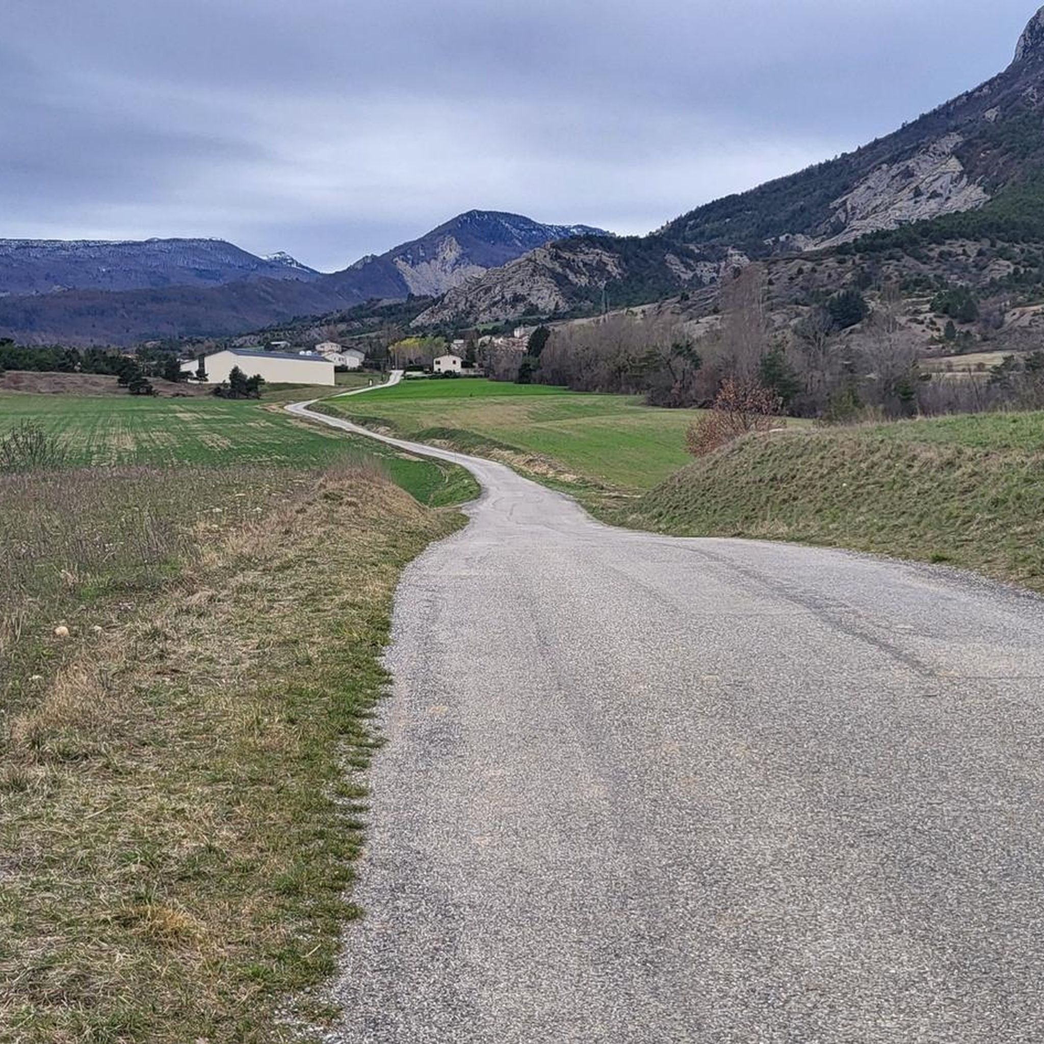
Road cycling around Sigottier, located in the Hautes-Alpes department of France, offers routes through distinctive and challenging landscapes. The area is characterized by unique geological formations, including spectacular limestone cliffs and a succession of pinnacles. The broader Hautes-Alpes region features unspoiled mountains, high-altitude Alpine parks, and numerous challenging mountain passes, providing a diverse terrain for road cyclists.
Best road cycling routes around Sigottier
- The most popular road cycling route is Haut-Buëch Loop, a 46.3 miles (74.5 km) trail that…
Last updated: October 12, 2026
5.0
(2)
54
riders
74.5km
04:00
1,440m
1,440m
Hard road ride. Very good fitness required. Mostly well-paved surfaces and easy to ride.
4.0
(1)
23
riders
121km
06:22
2,260m
2,260m
Hard road ride. Very good fitness required. Mostly well-paved surfaces and easy to ride.

4.6
(13)
133
riders
68.5km
03:19
920m
920m
Hard road ride. Very good fitness required. Mostly well-paved surfaces and easy to ride.
4.3
(7)
108
riders
94.9km
05:04
1,850m
1,850m
Hard road ride. Very good fitness required. Mostly well-paved surfaces and easy to ride.
41
riders
102km
04:41
1,150m
1,150m
Hard road ride. Very good fitness required. Mostly well-paved surfaces and easy to ride.
Get access to more routes and recommendations from other explorers.
Already have an account?
Our route recommendations are based on thousands of hikes, rides, and runs completed by other people on komoot.
Start today with a free account
Your next adventure awaits.
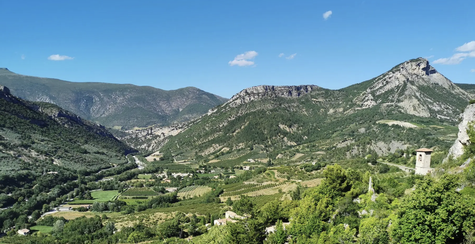
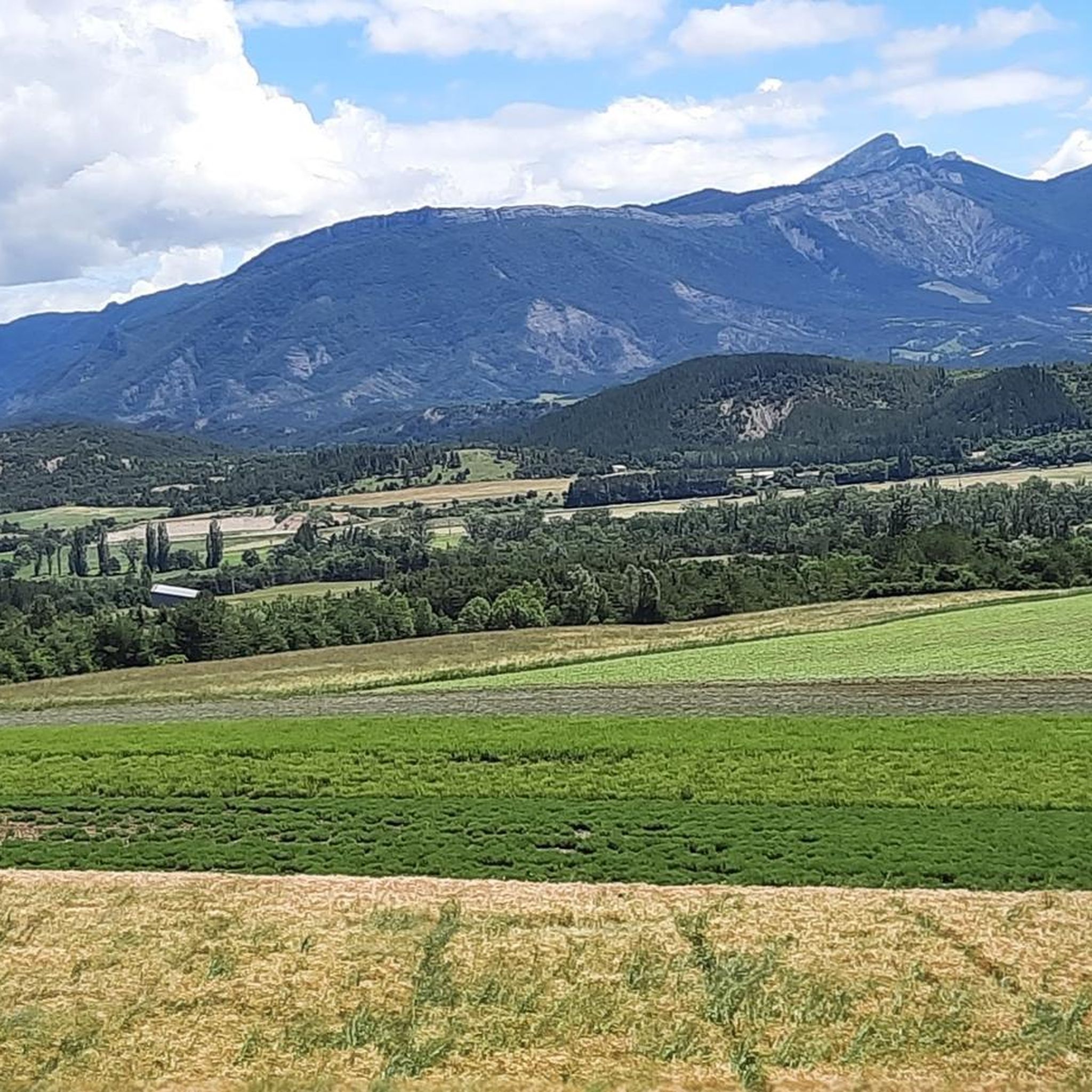
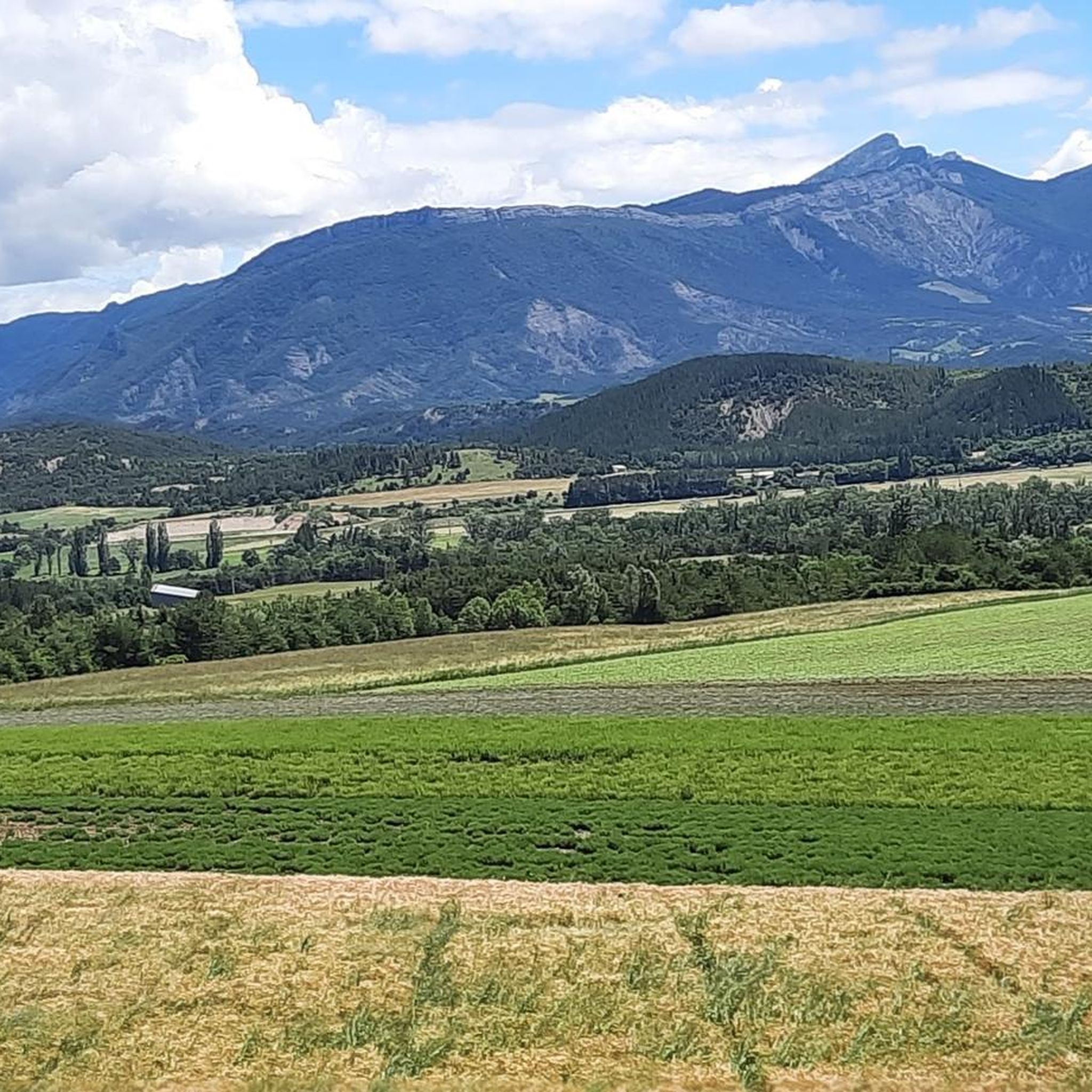
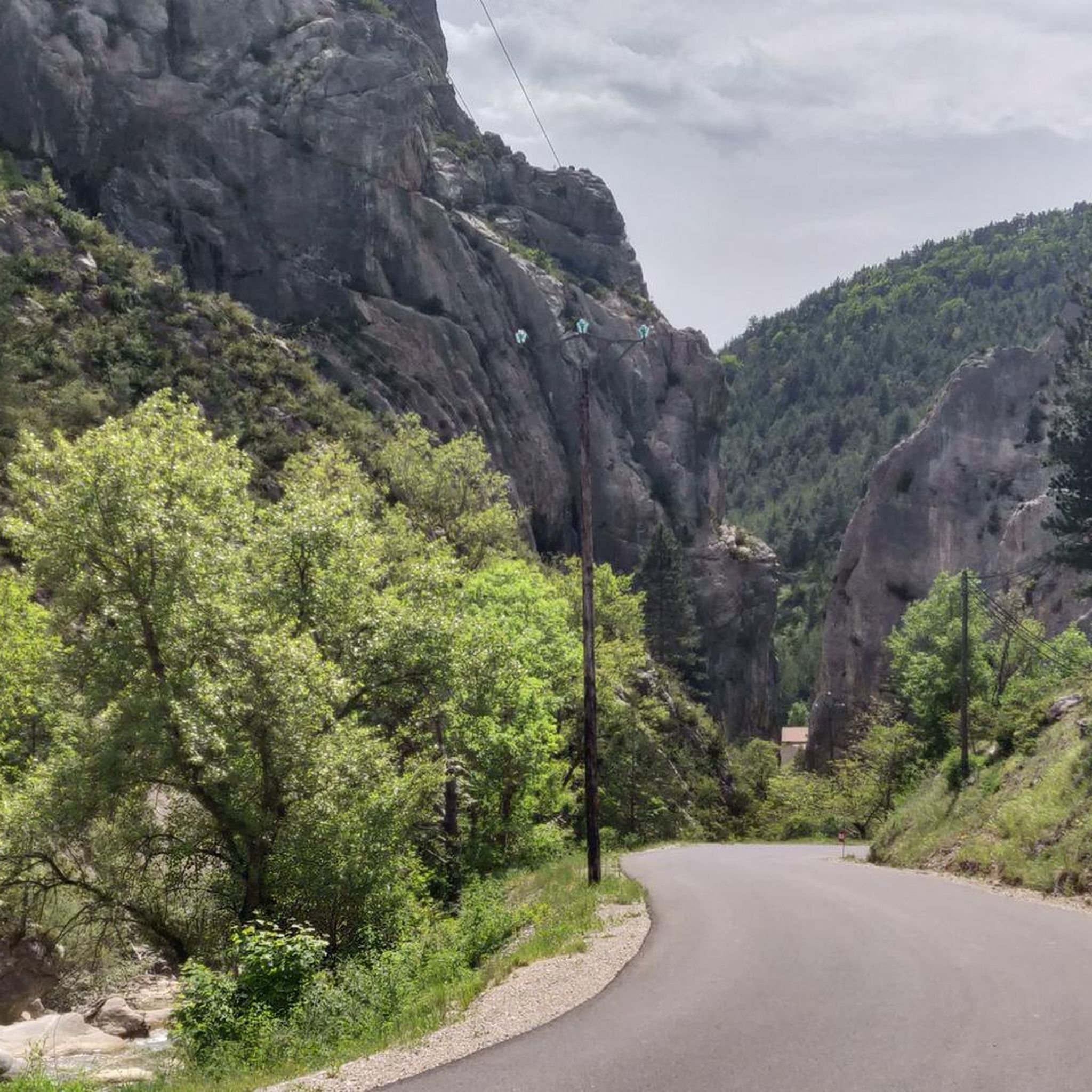

Other adventures around Sigottier

Tips from the Community

Discovery of a small part of the loop. I really enjoyed this route and it made me want to discover the loop in its entirety.
0
0

Building maintained in excellent condition.
10
0
The Haut-Buëch circuit is a 77 km loop around Veynes, which crosses several mountain passes. Classified as difficult, it mainly takes place on shared roads (100%), has an elevation gain of 827 meters, and is recommended for experienced cyclists. The estimated travel time is about 6 hours and 29 minutes. Points of interest along the route include the Veynes railway workers' ecomuseum and the castle of Aspremont.
7
0
Ascent on a secondary road, very easy slopes. Be careful of the slightly slippery asphalt.
7
0
Secondary road away from traffic. Asphalt in perfect condition.
12
0
For cyclists it's a climb: * Length: approx. 7 km * Elevation gain: approx. 320 m * Average gradient: 4.6% * Maximum gradient: approx. 5%
8
0
The Col de Soubeyrand (987–994 m, depending on the map source) is located in the Drôme department, in the Auvergne-Rhône-Alpes region, within the Baronnies provençales massif. It connects the Eygues valley with the Ennuye valley, between the villages of Rémuzat and Sainte-Jalle.
11
0
The Col de Peyruergue (794 m) is a pass located in the Drôme department, within the Parc naturel régional des Baronnies provençales. It connects the Ennuye valley with that of the Ouvèze, near Saint-Sauveur-Gouvernet.
10
0
Frequently Asked Questions
How many road cycling routes are available around Sigottier?
There are over 50 road cycling routes around Sigottier, offering a diverse range of experiences. These routes are highly rated by the komoot community, with an average score of 4.6 stars.
What are the typical difficulty levels for road cycling routes in Sigottier?
Road cycling routes around Sigottier range from moderate to difficult. You'll find 21 moderate routes and 30 difficult routes, catering to various skill levels, with a strong emphasis on challenging climbs.
Are there any easier road cycling routes for beginners around Sigottier?
While many routes are challenging, there are 4 easier road cycling routes available around Sigottier. These routes offer a gentler introduction to the region's beautiful landscapes.
What kind of landscapes can I expect to see while road cycling near Sigottier?
The region is characterized by unique geological formations, including spectacular limestone cliffs and pinnacles around Sigottier itself. The broader Hautes-Alpes offers stunning alpine scenery with unspoiled mountains, high-altitude parks, and picturesque villages, all under approximately 300 days of sunshine annually.
Are there challenging climbs for experienced road cyclists?
Yes, the Hautes-Alpes is a legendary destination for challenging road cycling. You can tackle demanding routes like the Haut-Buëch Loop, which ascends over 1,400 meters, or the Three Cols of the Baronnies Provençales Loop, featuring multiple challenging ascents and over 2,200 meters of elevation gain.
What are some notable mountain passes I can cycle to near Sigottier?
The region is dotted with iconic mountain passes, often featured in the Tour de France. You can cycle to passes like Col de Carabès, or explore the legendary Col du Galibier, Col d'Izoard, Col du Lautaret, Col du Granon, and Col de Vars, which offer breathtaking panoramic views.
When is the best time of year for road cycling in Sigottier?
The Hautes-Alpes region benefits from approximately 300 days of sunshine annually, making it ideal for outdoor pursuits. Summer is particularly popular, especially with the 'Cols réservés' initiative.
Are there any specific initiatives for cyclists in the Hautes-Alpes region?
Yes, the Hautes-Alpes department implements 'Cols réservés' (reserved passes) during summer mornings. On these designated days, legendary roads are closed to motorized traffic, allowing cyclists to ascend in peace and quiet, experiencing the mountains without engine noise.
What interesting landmarks or natural features can I discover along the routes?
Beyond the stunning mountain passes like Col de Carabès and Verniers Pass, you can also encounter impressive peaks such as Le Duffre and Le Rochasson. The area itself is known for its unique limestone cliffs and pinnacles.
Are there circular road cycling routes available?
Yes, many of the routes around Sigottier are circular, allowing you to start and end in the same location. Examples include the Col de la Haute Beaume loop from Serres and the La Charce Castle – Col de Carabès loop from Serres.
What do other cyclists say about road cycling in Sigottier?
The road cycling routes in Sigottier are highly rated by the komoot community, with an average score of 4.6 stars from over 100 reviews. Cyclists often praise the varied terrain, challenging climbs, and the stunning alpine scenery.
Is there parking available for cyclists in Sigottier?
While specific cyclist parking facilities are not detailed, Sigottier is a small village, and general parking is typically available. For routes starting from nearby towns like Serres or La Bâtie-Montsaléon, parking options are usually accessible.
Are there any family-friendly road cycling options around Sigottier?
While the region is known for its challenging climbs, the 4 easier routes available could be suitable for families with some cycling experience. The broader Southern French Alps also offer other family-friendly outdoor activities like hiking and water sports.
Most popular attractions around Sigottier

Get inspired with the komoot mobile app


Explore more
Browse the best Road cycling routes in other regions.
