The best road cycling routes around Saint-Rome-De-Tarn
4.4
(66)
2,171
riders
22
rides
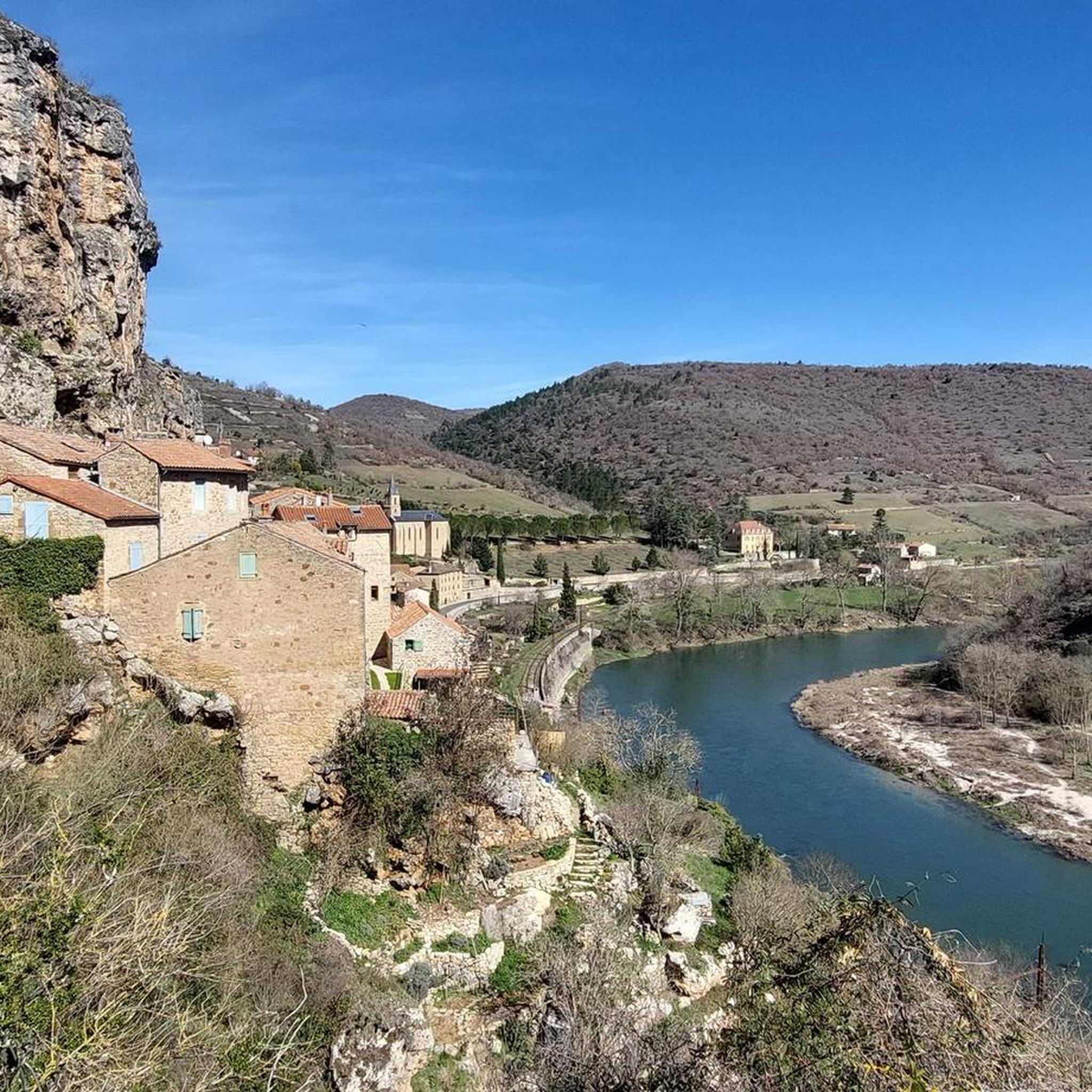
Road cycling routes around Saint-Rome-De-Tarn navigate a landscape characterized by river valleys, rolling hills, and open countryside. The region features a mix of moderate climbs and longer, more challenging ascents, often providing views of significant landmarks. Road cyclists can expect varied terrain, from routes along the Tarn River to those traversing the surrounding plateaus. The area offers a network of paved roads suitable for different cycling preferences.
Best road cycling routes around Saint-Rome-De-Tarn
- The most popular road cycling route is Saint-Rome-de-Tarn – View of the Millau Viaduct loop from Saint-Rome-de-Tarn, a 35.4 miles (56.9 km) moderate trail that takes 2 hours 35 minutes to complete, offering views of the Millau Viaduct.
- Another top favourite among local road cyclists is View of the Millau Viaduct – Verdalle Bridge loop from Saint-Rome-de-Tarn, a difficult 78.5 miles (126.3 km) path. This route features extensive climbs and descents across varied terrain, including the Verdalle Bridge.
- Local road cyclists also love the Saint-Rome-de-Tarn – Comprégnac - Candas (Tarn) loop from Saint-Rome-de-Tarn, a 20.7 miles (33.3 km) trail leading through rural landscapes, often completed in about 1 hour 29 minutes.
- Road cycling around Saint-Rome-De-Tarn is defined by river valleys, rolling hills, and open countryside. The network offers options for moderate and challenging ability levels, with 12 moderate and 9 difficult routes available.
- The routes in Saint-Rome-De-Tarn are highly rated by the komoot community with an average score of 4.5 stars from more than 20 reviews. More than 900 road cyclists have used komoot to explore Saint-Rome-De-Tarn's varied terrain.
Last updated: October 11, 2026
4.3
(7)
253
riders
56.1km
02:34
580m
580m
Moderate road ride. Good fitness required. Mostly well-paved surfaces and easy to ride.
13
riders
75.3km
03:42
1,100m
1,100m
Hard road ride. Very good fitness required. Mostly well-paved surfaces and easy to ride.

7
riders
68.5km
03:44
1,410m
1,410m
Hard road ride. Very good fitness required. Mostly well-paved surfaces and easy to ride.
5.0
(4)
6
riders
50.4km
02:42
1,010m
1,010m
Hard road ride. Very good fitness required. Mostly well-paved surfaces and easy to ride.
5
riders
24.3km
01:09
340m
340m
Moderate road ride. Good fitness required. Mostly well-paved surfaces and easy to ride.
Get access to more routes and recommendations from other explorers.
Already have an account?
Our route recommendations are based on thousands of hikes, rides, and runs completed by other people on komoot.
Start today with a free account
Your next adventure awaits.

Other adventures around Saint-Rome-De-Tarn

Tips from the Community

Built between 1818 and 1821, the Lerouge bridge became one of the main structures for crossing the Tarn in Millau. It replaced the Pont Vieux, several arches of which had been destroyed by a flood in 1758, leaving the town without a permanent bridge for over sixty years. During this long period, crossing the Tarn was mainly done by ferry. The project was launched on the initiative of the prefect of Aveyron, d’Estourmel. The plans were drawn up by Pierre-Jacques Le Rouge, an engineer for the district. The first stone was laid on June 20, 1818, and the bridge was opened to traffic in January 1821. Its name therefore comes from its designer, not from the color of its stones. A curious detail: its construction was largely financed by private individuals, and a toll was collected until 1875. This tax even caused tensions with the inhabitants of Creissels, some of whom continued to cross the Tarn on foot or by boat to avoid paying it.
3
0
From this point at the foot of the structure, the regular succession of piers and guyed pylons can be particularly well distinguished. The deck, 2,460 m long, crosses the valley at a height of approximately 270 m above the Tarn. Pier P2, the tallest, culminates at 245 m, while the assembly formed by the pier and its pylon reaches 343 m: a height greater than that of the Eiffel Tower. This perspective also recalls the technical feat that the construction of the viaduct represented. The metal deck was assembled in sections from either side of the valley, then progressively launched across the void. The joining of the two parts was carried out on May 28, 2004, 268 m above the Tarn, before the official inauguration a few months later. An interesting detail can be discerned here: despite its exceptional dimensions, the structure appears remarkably light. This impression is not accidental. The viaduct was specifically designed to blend into the valley by limiting the visual impact of its structure, with a very slender deck and piers that branch out in a "Y" shape.
2
0

Absolutely worth seeing - view it from below and definitely join the architecture tour.
0
0

Commissioned in 1929, the Pinet dam is a 175-meter-long and 41-meter-high concrete gravity dam. Its reservoir of over 10 million m³ forms the Lac de Pinet, a narrow but spectacular body of water stretching for 12 kilometers at the bottom of deep gorges, while its power station produces around 105 GWh of electricity per year.
0
0
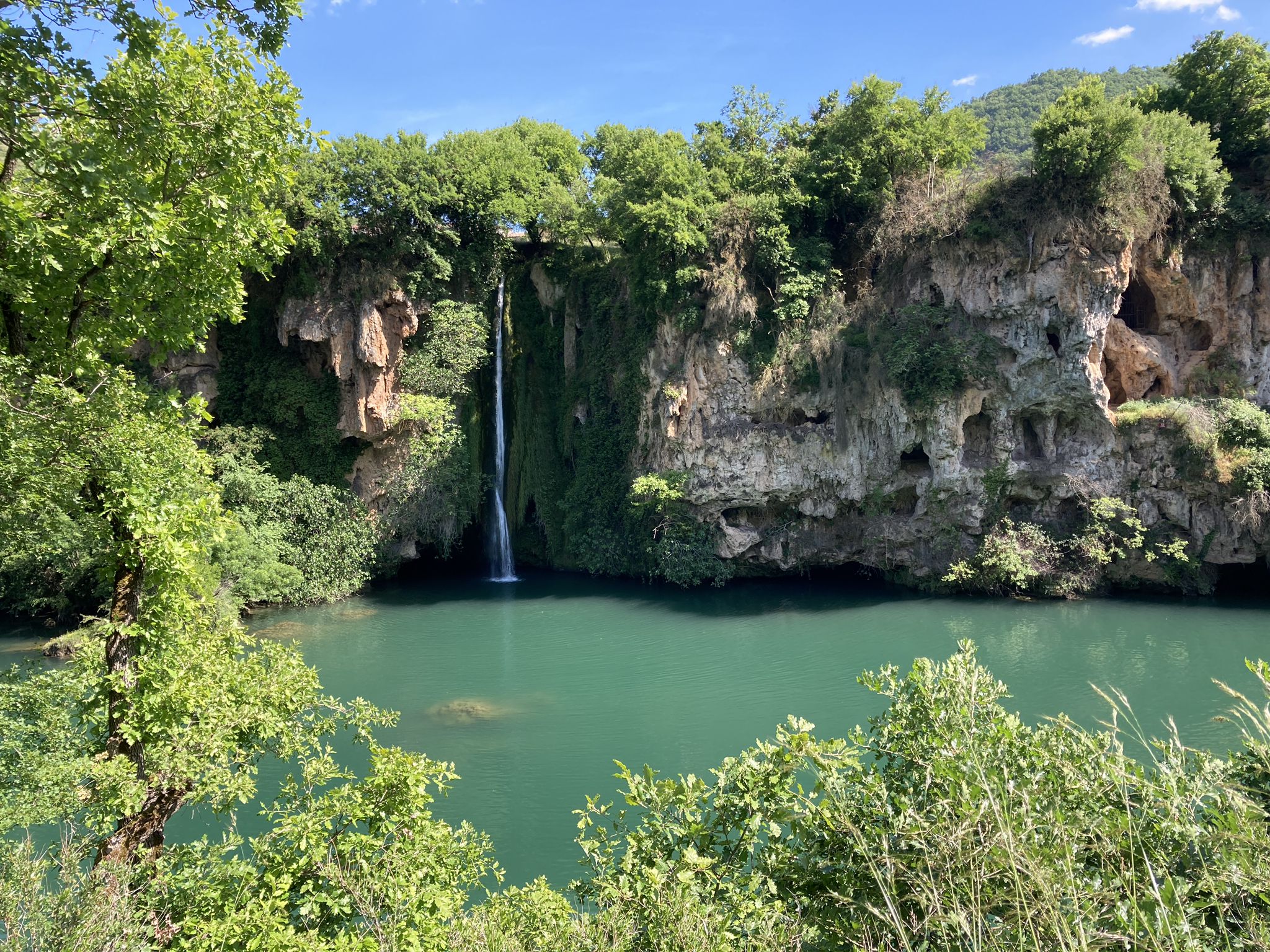
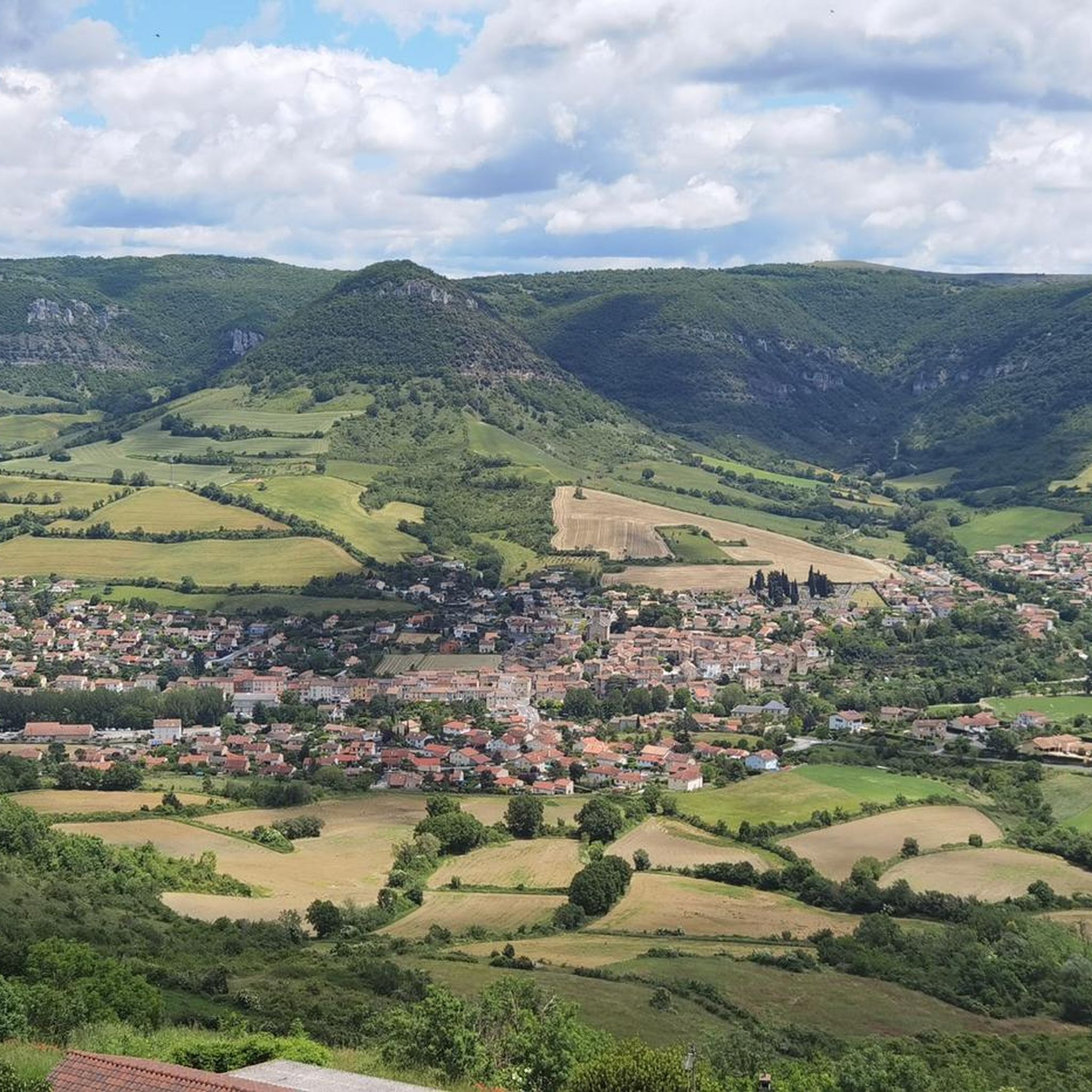
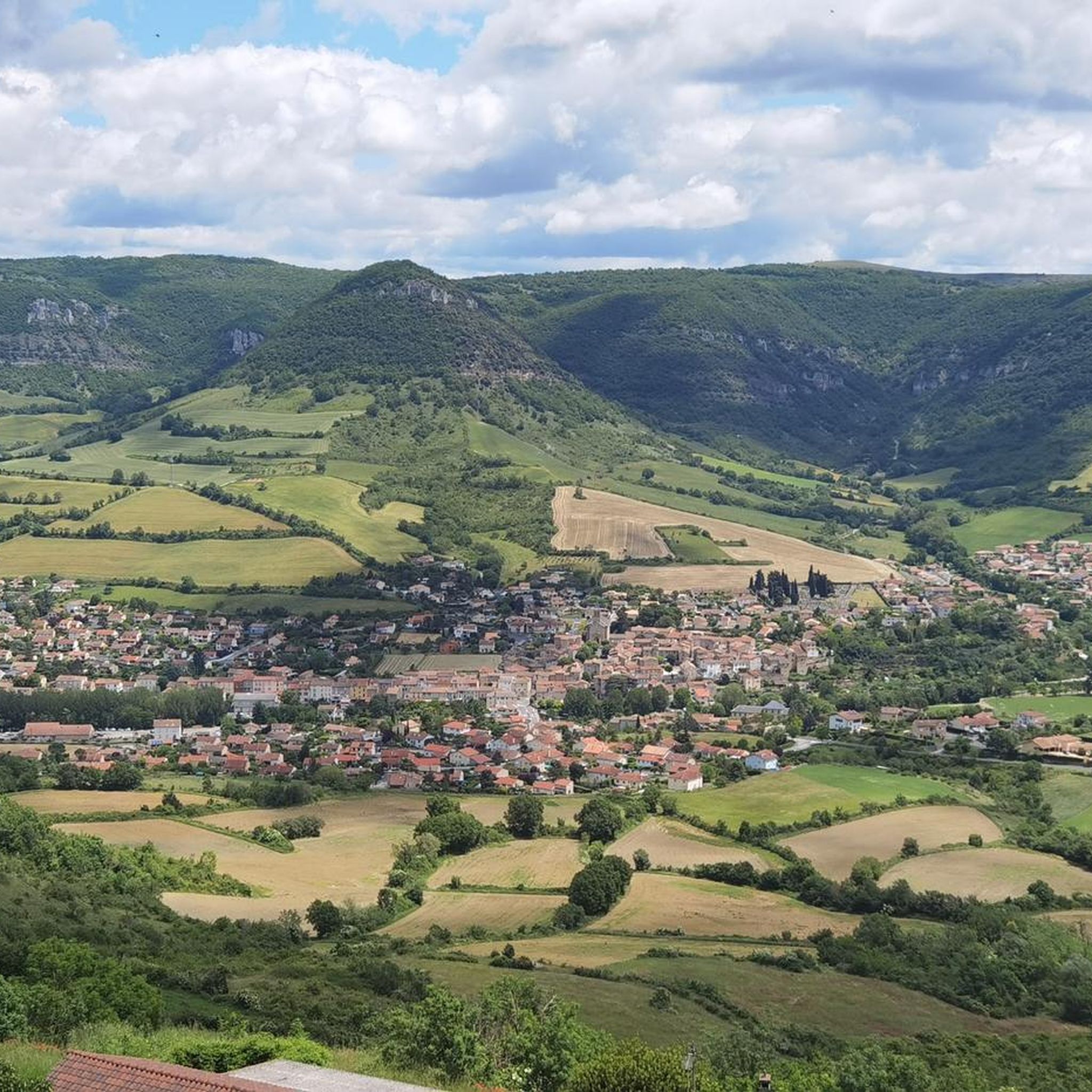
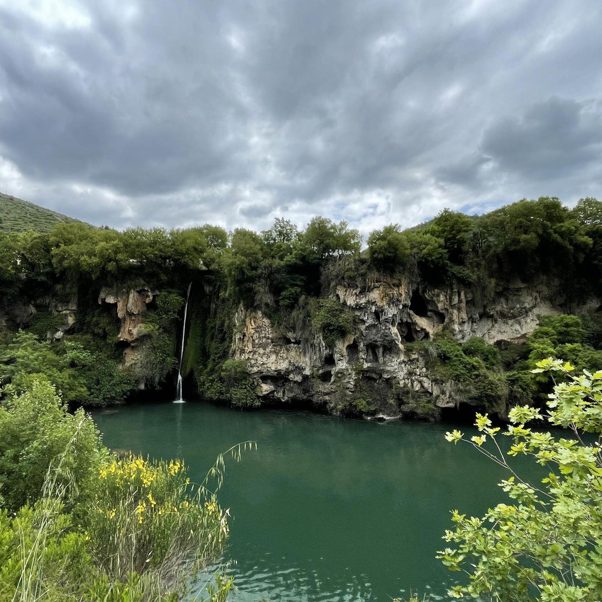
The Raspes du Tarn, from the Occitan "raspar" (grated), are gorges set in schist, covered with chestnut trees, white oaks, broom, and heather. Wild due to their relief but tamed by several hydroelectric dams, they offer an unusual landscape, dotted with waterfalls and old perched villages like Peyre or Saint-Rome-de-Tarn, which can be discovered by cruise, on foot, or from the roads overlooking the valley.
0
0

Beautiful walks to do along the Tarn.
0
0

The view is truly magnificent! It's very localized, but here we have a gap in the trees that offers a magnificent view of the Tarn valley!
0
0
Nice unusual bridge, which resembles a railway bridge although I don't see any sign of trains nearby...
0
0
Frequently Asked Questions
How many road cycling routes are available around Saint-Rome-De-Tarn?
There are over 20 dedicated road cycling routes in the Saint-Rome-De-Tarn area. These routes are categorized into moderate and difficult, offering a variety of challenges for cyclists.
Are there any road cycling routes suitable for beginners or those looking for a less strenuous ride?
While the region is known for its moderate climbs and challenging ascents, there are routes that offer a more accessible experience. For example, the Saint-Rome-de-Tarn – Comprégnac - Candas (Tarn) loop from Saint-Rome-de-Tarn is a moderate 20.7-mile (33.3 km) trail that takes about 1 hour 29 minutes, leading through pleasant rural landscapes.
What are some challenging road cycling routes near Saint-Rome-De-Tarn?
For experienced cyclists seeking a challenge, the region offers several difficult routes. A notable option is the View of the Millau Viaduct – Verdalle Bridge loop from Saint-Rome-de-Tarn, a demanding 78.5-mile (126.3 km) path featuring extensive climbs and descents, including the Verdalle Bridge. Another difficult route is the Ayssènes Suspension Bridge – Saint-Rome-de-Tarn loop from Saint-Rome-de-Tarn, covering 71.1 miles (114.4 km) with significant elevation changes.
What kind of terrain can I expect on road cycling routes in Saint-Rome-De-Tarn?
The road cycling routes around Saint-Rome-De-Tarn are characterized by diverse terrain. You'll encounter river valleys, rolling hills, and open countryside. Routes often feature a mix of moderate climbs and longer, more challenging ascents, with paved roads suitable for road bikes. The landscape frequently provides views of significant landmarks.
Are there any circular road bike routes available?
Yes, many of the routes in the Saint-Rome-De-Tarn area are designed as loops, allowing you to start and finish in the same location. Examples include the popular Saint-Rome-de-Tarn – View of the Millau Viaduct loop from Saint-Rome-de-Tarn and the Saint-Rome-de-Tarn – Comprégnac - Candas (Tarn) loop from Saint-Rome-de-Tarn.
What scenic viewpoints can I find along the road cycling routes?
The region offers several scenic viewpoints that can be incorporated into your rides. The Millau Viaduct Viewpoint is a prominent feature on some routes, offering spectacular views of the famous bridge. You might also encounter the Cap de Coste Viewpoint, providing panoramic vistas of the surrounding landscape.
Are there any interesting landmarks or attractions to see while road cycling?
Absolutely. Beyond the natural beauty, you can cycle past impressive structures like the Millau Viaduct itself and the historic Verdalle Bridge. Natural monuments such as the Rocher de Caylus and the Dinosaur Footprints of Peyre are also in the vicinity, offering unique points of interest.
What do other road cyclists enjoy most about road cycling in Saint-Rome-De-Tarn?
The area is highly rated by the komoot community, with an average score of 4.5 stars from over 30 reviews. Cyclists often praise the varied terrain, the challenging climbs, and the stunning views, particularly those of the Millau Viaduct. The network of paved roads and the overall cycling experience are frequently highlighted.
What is the best time of year for road biking in Saint-Rome-De-Tarn?
The region generally offers favorable conditions for road cycling from spring through autumn. Summer provides warm weather, ideal for longer rides, though it's always wise to check local forecasts. Spring and early autumn offer milder temperatures and beautiful scenery, making them excellent choices for exploring the area by bike.
Are there any routes that pass by waterfalls?
Yes, for those interested in natural water features, the Cascade des Raspes du Tarn is a notable waterfall in the area. While not every road cycling route passes directly by it, some routes may offer access or views of this natural monument, allowing for a scenic stop.
How long do road bike trails near Saint-Rome-De-Tarn typically take to complete?
The duration of road bike trails varies significantly depending on the route's length and difficulty. Shorter, moderate loops like the Saint-Rome-de-Tarn – Comprégnac - Candas (Tarn) loop can be completed in about 1 hour 29 minutes. Longer, more challenging routes, such as the View of the Millau Viaduct – Verdalle Bridge loop, can take over 6 hours due to their extensive distance and elevation changes.
Are there quiet road cycling routes away from heavy traffic?
Many of the routes in the Saint-Rome-De-Tarn area traverse rural landscapes and smaller country roads, offering a quieter cycling experience. The region's character, with its river valleys and open countryside, lends itself to routes that are generally less congested, allowing cyclists to enjoy the scenery in relative tranquility.
Most popular routes around Saint-Rome-De-Tarn
Most popular attractions around Saint-Rome-De-Tarn

Get inspired with the komoot mobile app


Explore more
Browse the best Road cycling routes in other regions.
