The best road cycling routes around Sturzelbronn
4.8
(149)
1,936
riders
130
rides
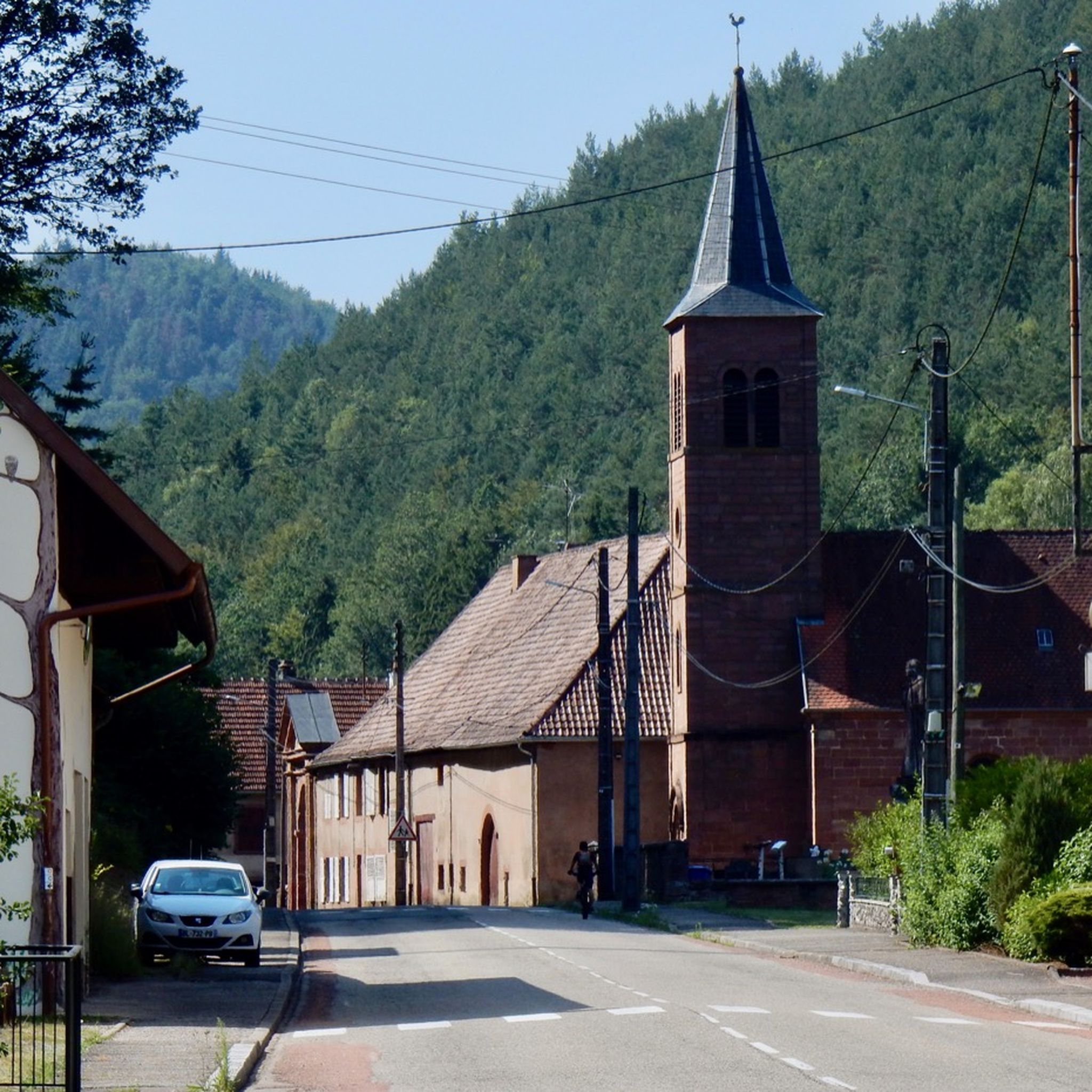
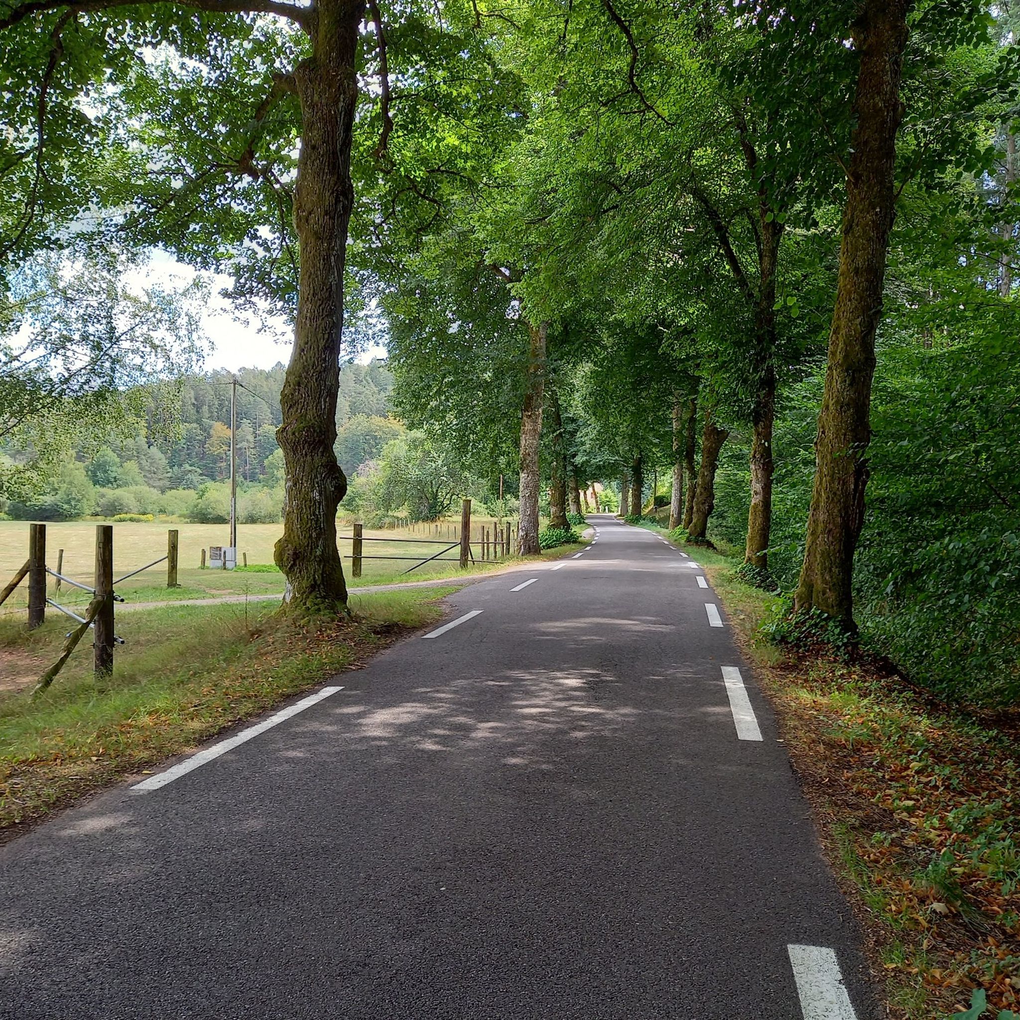
Road cycling routes around Sturzelbronn traverse a landscape characterized by dense woodlands, rolling hills, and numerous ponds and springs. The region offers varied terrain, from gentle gradients along water bodies to more challenging climbs through forested areas. Road cyclists can expect routes that wind through natural reserves and past historical sites, providing a diverse riding experience.
Best road cycling routes around Sturzelbronn
- The most popular road cycling route is Sägmühl Pond – Fleckenstein Pond loop from Ludwigswinkel, a 28.7…
Last updated: October 20, 2026
4.7
(3)
74
riders
45.7km
02:23
580m
580m
Moderate road ride. Good fitness required. Some segments of this route may be unpaved and difficult to ride.
5.0
(2)
23
riders
27.2km
01:11
230m
230m
Moderate road ride. Great for any fitness level. Some segments of this route may be unpaved and difficult to ride.

5.0
(2)
23
riders
51.6km
02:22
560m
560m
Moderate road ride. Good fitness required. Some segments of this route may be unpaved and difficult to ride.
4.7
(3)
28
riders
35.6km
01:42
330m
330m
Moderate road ride. Good fitness required. Some segments of this route may be unpaved and difficult to ride.
3.6
(5)
15
riders
29.5km
01:20
230m
230m
Easy road ride. Great for any fitness level. Mostly well-paved surfaces and easy to ride.
Get access to more routes and recommendations from other explorers.
Already have an account?
Our route recommendations are based on thousands of hikes, rides, and runs completed by other people on komoot.
Start today with a free account
Your next adventure awaits.

Tips from the Community

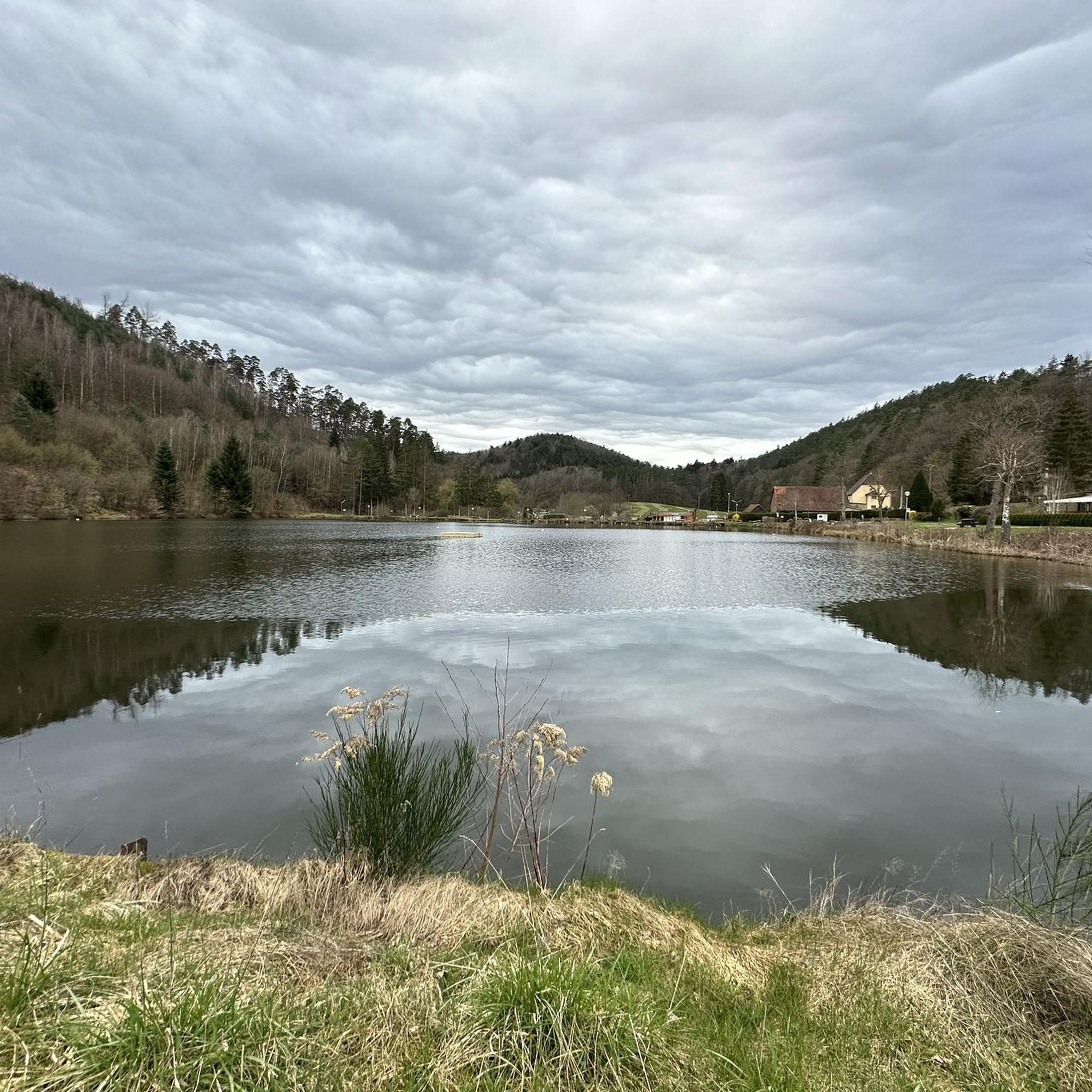
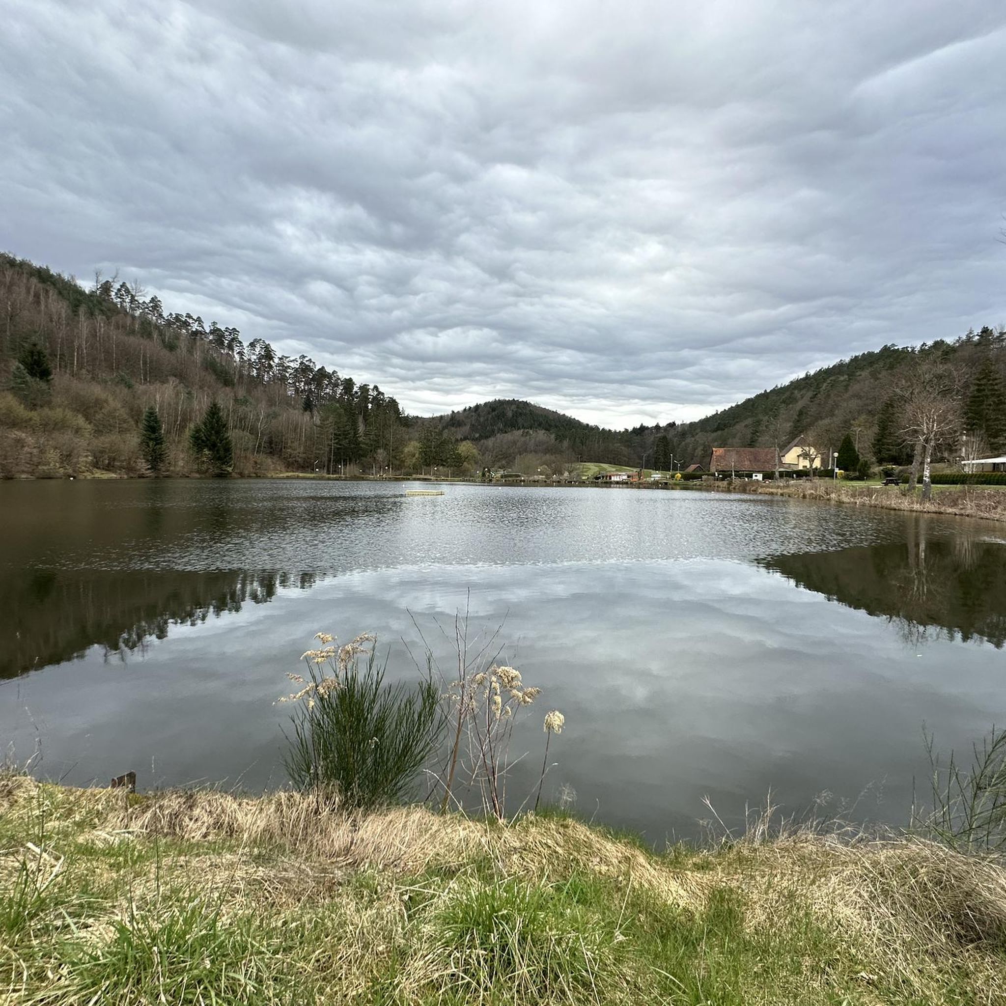
From here you can walk around the l'Étang Fleckenstein, with a small part of the path running along the road. If you wish, you can take the leisurely path to the Château Fort du Fleckenstein via Gimbelhof, or a steep, shorter path at the other end of the pond. The public, free car park and also the paths to the Château are on the other side of the road; - not on the side of the pond. A circular route to the former fortress is just under 7 km long.
0
0

Throughout the entire tour, you encounter bunkers of the Maginot Line, this one is a larger installation
0
0

The nearby benches invite you to take a break.
0
0


Unfortunately, the Biosphärenhaus and the Baumwipfelpfad were closed indefinitely in October 2023 for safety reasons. It is uncertain whether it will ever resume operation.
0
0

The water is incredibly fresh. It's marked "not drinking water." Nevertheless, I've been drinking from this fountain for years.
0
0

It's incredible that the gable walls and columns from the 16th century are still standing today.
1
0

Gienath fountain with information panel about charcoal burners, education, and an iron hammer.
6
0
Frequently Asked Questions
How many road cycling routes are available around Sturzelbronn?
There are over 140 road cycling routes around Sturzelbronn, offering a wide range of options for different skill levels and preferences. The komoot community has explored these routes extensively, with over 1700 road cyclists using komoot to discover the area.
What is the typical difficulty level of road cycling routes in Sturzelbronn?
The majority of road cycling routes in Sturzelbronn are rated as moderate, making them accessible to a broad range of cyclists. There are also easier options for beginners and more challenging routes for experienced riders seeking significant elevation gains.
Are there any circular road cycling routes in the Sturzelbronn area?
Yes, many of the routes around Sturzelbronn are circular, allowing you to start and end at the same point. For example, the popular Sägmühl Pond – Fleckenstein Pond loop from Ludwigswinkel is a moderate 28.7-mile (46.1 km) circular route that takes about 2 hours 26 minutes.
What kind of scenery can I expect on road cycling routes near Sturzelbronn?
Road cycling routes around Sturzelbronn are known for their diverse scenery, characterized by dense woodlands, rolling hills, and numerous picturesque ponds and springs. You'll often find yourself cycling through natural reserves and past historical sites, offering a rich visual experience.
Are there any routes suitable for beginners or families?
While many routes are moderate, there are easier options available. For instance, the Biosphere House Fischbach – Gienanth Spring loop from Ludwigswinkel is a moderate 18.7-mile (30.0 km) route with less elevation gain, making it a good choice for those looking for a less strenuous ride.
What are some notable landmarks or points of interest along the road cycling routes?
The routes often pass by historical sites and natural attractions. You can explore areas near the Ruins of the Jaegerthal forge, or enjoy the serene beauty of the various ponds like Sägmühl Pond and Fleckenstein Pond. For stunning views, consider routes that pass near viewpoints such as Lindelskopf Rock and Viewpoint or Gottfriedsruhe Viewpoint.
What is the best time of year for road cycling in Sturzelbronn?
The region's dense woodlands and rolling hills are beautiful throughout the warmer months. Spring and autumn offer pleasant temperatures and vibrant foliage, while summer provides longer daylight hours. Winter cycling is possible, but some routes might be affected by weather conditions.
Where can I find parking for road cycling trails near Sturzelbronn?
Many routes start from villages like Ludwigswinkel, which typically offer public parking options. It's advisable to check the starting point of your chosen route on komoot for specific parking information, as many routes are designed to be accessible by car.
What do other road cyclists enjoy most about the routes in Sturzelbronn?
The road cycling routes in Sturzelbronn are highly rated by the komoot community, with an average score of 4.7 stars. Reviewers often praise the combination of natural beauty, quiet roads through dense woodlands, and the variety of terrain that caters to different fitness levels.
Are there any longer, more challenging road cycling routes for experienced riders?
Yes, for experienced riders seeking a challenge, there are longer routes with significant elevation gain. An example is the Ruins of the Jaegerthal forge – Sägmühl Pond loop from Ludwigswinkel, a difficult 59.2-mile (95.3 km) trail with over 1000 meters of ascent, typically completed in about 4 hours 23 minutes.
Are there places to stop for refreshments or food along the routes?
While the routes often traverse natural and forested areas, many pass through or near small villages where you can find cafes or restaurants. Planning your route with komoot allows you to identify potential stops for refreshments along the way.
Most popular routes around Sturzelbronn
Most popular attractions around Sturzelbronn

Get inspired with the komoot mobile app


Explore more
Browse the best Road cycling routes in other regions.
