The best running trails around Losdorf
4.3
(3)
168
runners
40
runs
Jogging around Losdorf offers a variety of routes through a landscape characterized by numerous ponds and gentle hills. The region features a mix of open views and forested sections, providing diverse running environments. Elevation gains are generally modest, making many trails accessible for different fitness levels.
Best jogging routes around Losdorf
- The most popular jogging route is Étang de Nolweyer loop from Belles-Forêts, an 8.8 miles (14.1 km) trail that takes 1 hour 29 minutes to complete. This route…
Last updated: July 5, 2026
4.0
(1)
7
runners
15.8km
01:41
80m
80m
Hard run. Very good fitness required. Mostly paved surfaces. Suitable for all skill levels.
4.5
(2)
5
runners
8.69km
01:00
50m
50m
Moderate run. Good fitness required. Mostly paved surfaces. Suitable for all skill levels.

Sign up for free
6
runners
5.27km
00:34
30m
40m
Moderate run. Good fitness required. Mostly paved surfaces. Suitable for all skill levels.
7
runners
Hard run. Very good fitness required. Mostly paved surfaces. Suitable for all skill levels.
7
runners
5.53km
00:38
10m
10m
Moderate run. Good fitness required. Mostly paved surfaces. Suitable for all skill levels.
Get access to more routes and recommendations from other explorers.
Sign up for free
Already have an account?
Our route recommendations are based on thousands of hikes, rides, and runs completed by other people on komoot.
Start today with a free account
Your next adventure awaits.
Login or Signup

Tips from the Community

Cozy, friendly, good 👌
0
0
Friendly service is provided here, and snacks and drinks are available.
0
0

Very friendly and suitable for everyone
0
0

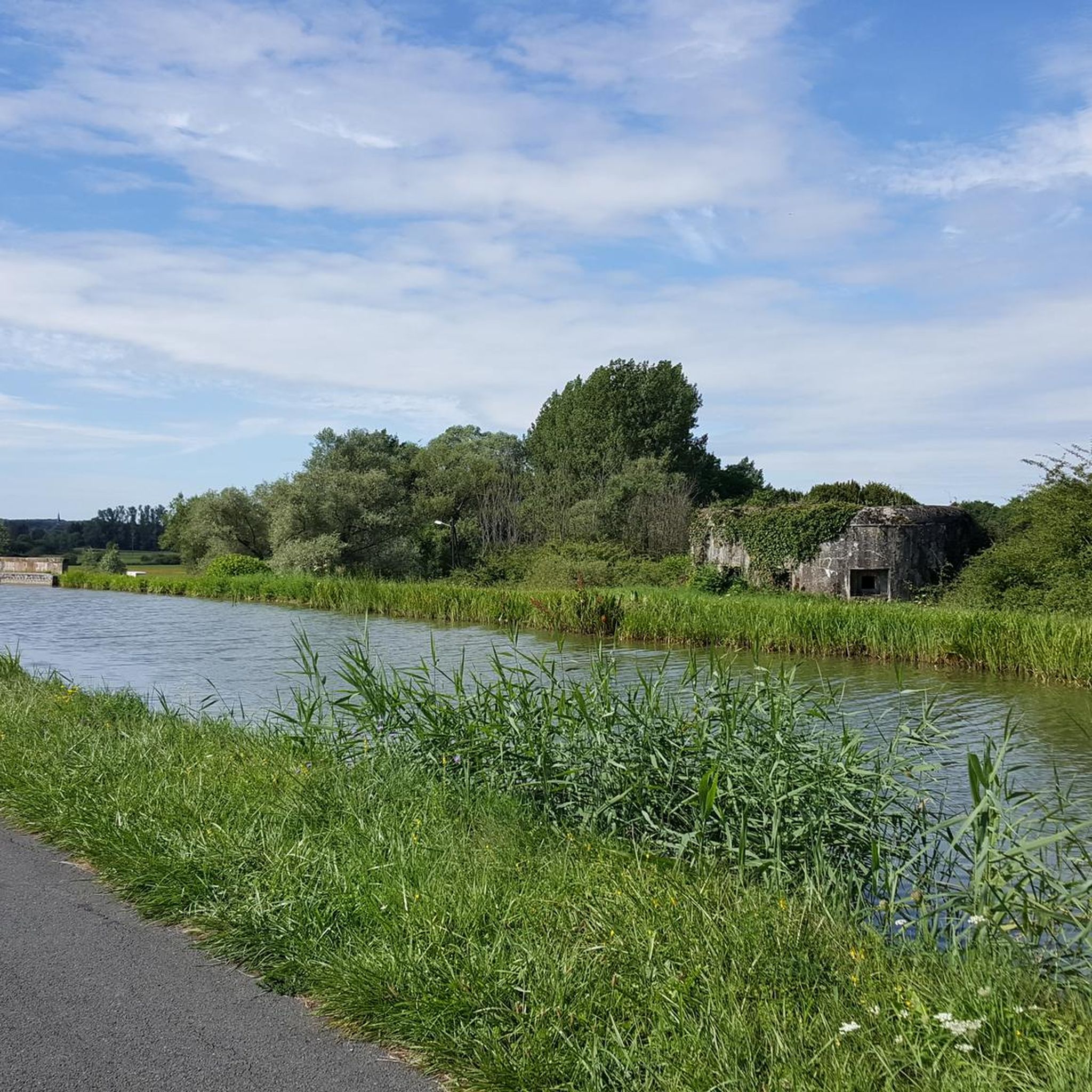
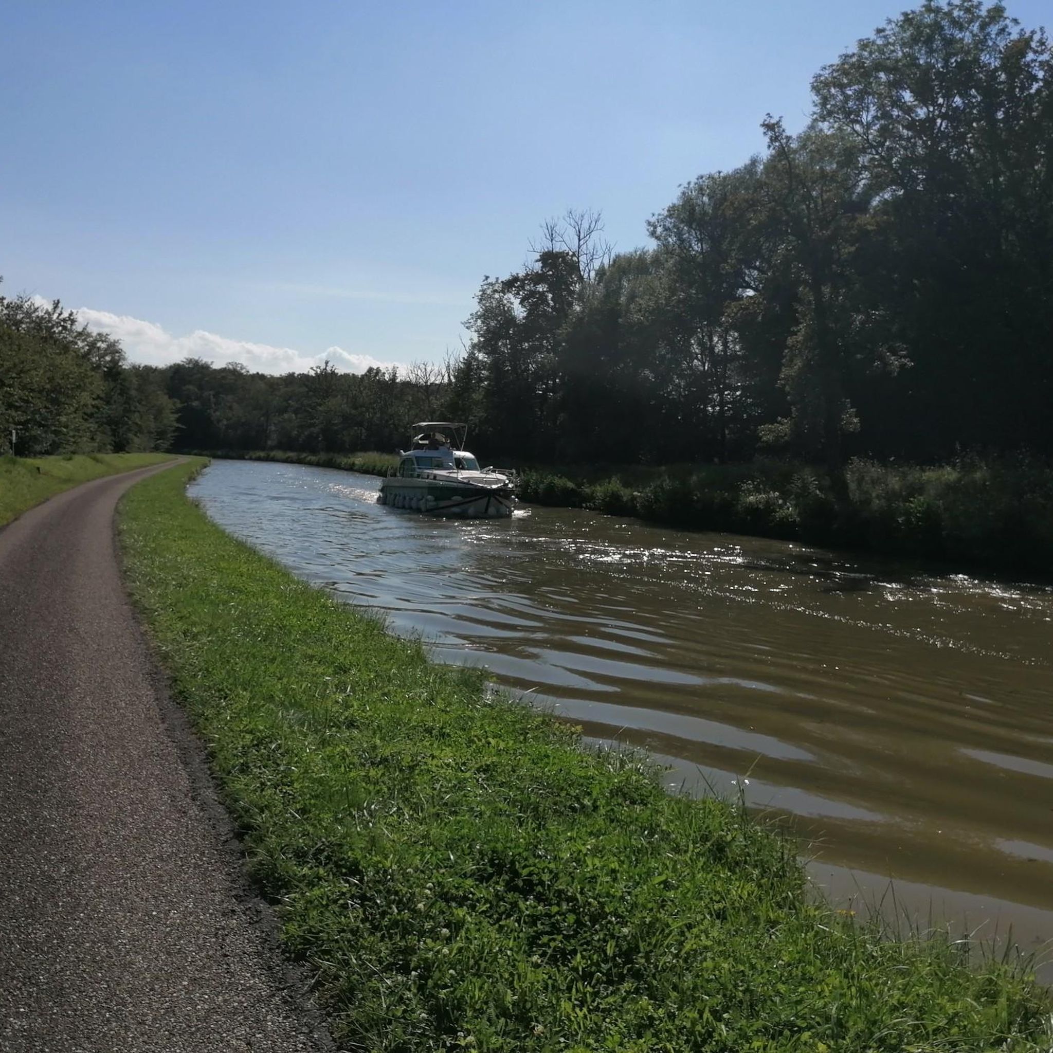
Great cycle path along the Saar Canal.
2
0
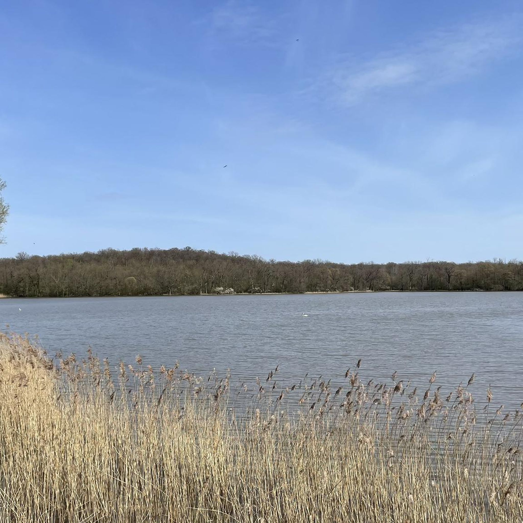
One of the many lakes in this region. Great surroundings!
2
0

The cycle path stretches from Sarreguemines to Gondrexange.
0
0

Frequently Asked Questions
How many running routes are available in Losdorf?
Losdorf offers a wide selection of over 30 running routes, catering to various fitness levels. While most are moderate, there are also easier options for beginners and a few more challenging trails for experienced runners.
Are there any easy running routes in Losdorf suitable for beginners?
Yes, Losdorf features at least one easy running route, and many of the moderate trails have gentle elevation gains, making them accessible for those new to running. The landscape of numerous ponds and gentle hills provides a pleasant environment for all abilities.
Can I find running routes around 10k in Losdorf?
Absolutely. Many routes in Losdorf are around the 10-kilometer mark. For example, the View of Insming – 17th Century Calvary loop from Givrycourt is 11.9 km, and the Grand Pond of Mittersheim loop from Mittersheim is 13.1 km, both offering scenic runs slightly above 10k.
What kind of scenery can I expect on Losdorf's running trails?
Losdorf's running trails are characterized by a diverse landscape featuring numerous ponds, gentle hills, and a mix of open views and forested sections. You'll often find yourself running alongside tranquil waters or through peaceful woodlands.
Are there any circular running routes in Losdorf?
Yes, many of Losdorf's running routes are circular, allowing you to start and end at the same point. A popular option is the Étang de Nolweyer loop from Belles-Forêts, which circles the scenic Étang de Nolweyer.
What do other runners enjoy most about jogging in Losdorf?
The komoot community highly rates the running experience in Losdorf, with an average score of 3.8 stars. Runners often praise the varied terrain, the peaceful atmosphere around the ponds, and the accessibility of routes for different fitness levels.
Are there any interesting landmarks or attractions along the running routes in Losdorf?
While running in Losdorf, you can encounter several points of interest. The View of Insming – 17th Century Calvary loop from Givrycourt passes historical markers. Additionally, the region is known for its large bodies of water like the Grand Pond of Mittersheim, which is a highlight in itself and featured on several routes.
Are there any running routes in Losdorf that pass by cafes or places to rest?
Yes, some routes offer opportunities to stop for refreshments. The Port Café loop from Mittersheim is a shorter route that specifically highlights a cafe, making it a great option for a run with a planned break.
What is the best time of year to go running in Losdorf?
Losdorf's landscape, with its ponds and forests, is enjoyable throughout the year. Spring and autumn offer pleasant temperatures and beautiful scenery, while summer provides longer daylight hours. Even in winter, the trails can be picturesque, though conditions may vary.
Are there any longer running trails for endurance training in Losdorf?
For longer runs, you can combine existing routes or explore the extensive network of trails. The Étang de Nolweyer loop from Belles-Forêts is one of the longer options at 14.1 km, providing a good challenge for endurance.
Is public transport available to access running trails in Losdorf?
Specific public transport information for individual trailheads is best found on the detailed komoot route pages. Generally, access to rural running routes may require a combination of public transport and a short walk or drive.
Where can I find parking for the running routes in Losdorf?
Parking availability varies by trailhead. For precise parking information, it's recommended to check the individual komoot route pages for the specific running trail you plan to visit, as they often include details on nearby parking facilities.
Most popular attractions around Losdorf

Get inspired with the komoot mobile app


Explore more
Browse the best Running Trails & Routes in other regions.
