The best walks and hikes around Auriac-Sur-Vendinelle
4.5
(26)
146
hikers
17
hikes
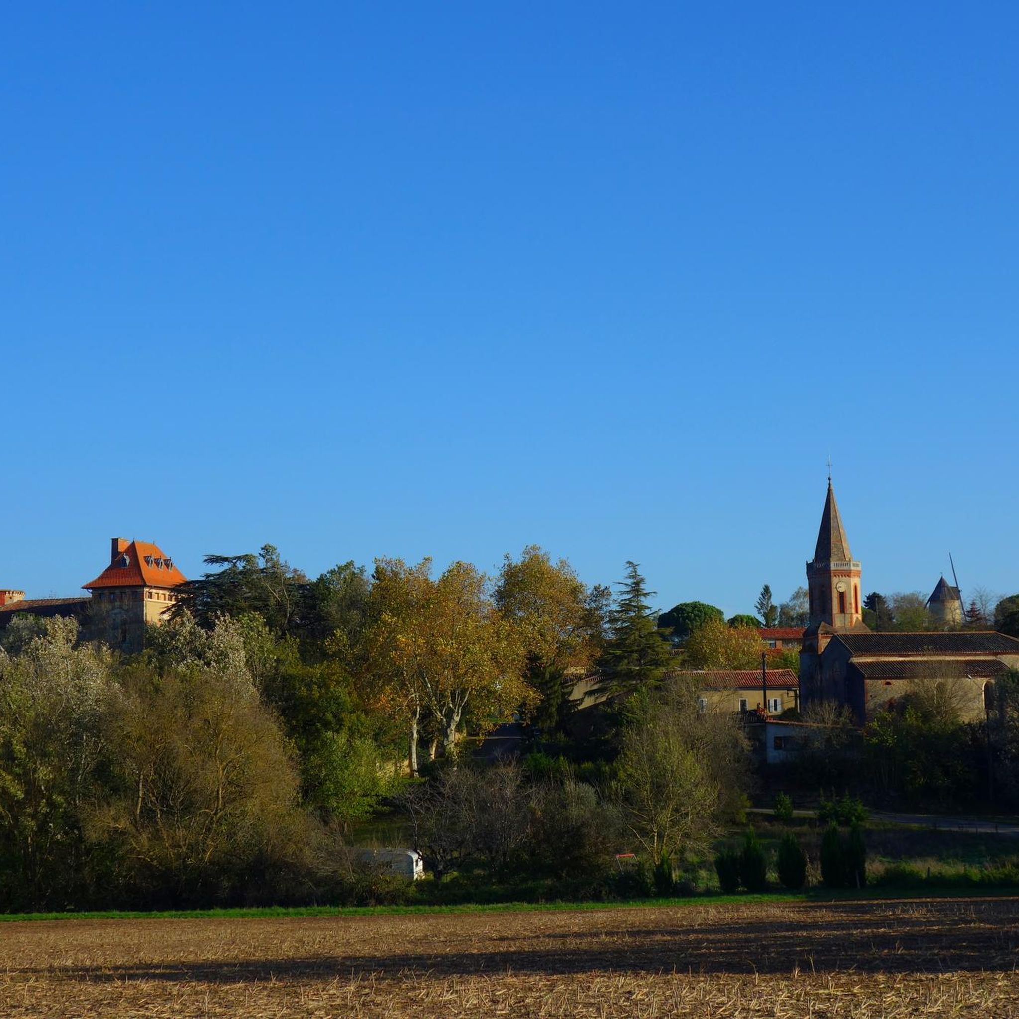
Hiking around Auriac-Sur-Vendinelle is defined by the undulating terrain of the Lauragais, featuring rolling hills and extensive agricultural fields, including sunflower vistas. The region offers panoramic views stretching towards the Black Mountain and the Pyrenees from various vantage points. The Vendinelle river flows through the commune, contributing to the natural landscape. This area provides a varied environment for outdoor activities, with trails weaving through fields and wooded areas.
Best hiking trails around Auriac-Sur-Vendinelle
- The most popular hiking route is Coteaux…
Last updated: July 4, 2026
4.7
(3)
19
hikers
17.0km
04:35
220m
220m
Moderate hike. Good fitness required. Easily-accessible paths. Suitable for all skill levels.
4.0
(3)
15
hikers
20.2km
05:28
280m
280m
Hard hike. Very good fitness required. Easily-accessible paths. Suitable for all skill levels.

Sign up for free
3.0
(1)
10
hikers
13.4km
03:38
190m
190m
Moderate hike. Good fitness required. Easily-accessible paths. Suitable for all skill levels.
4.5
(2)
10
hikers
3.99km
01:01
10m
10m
Easy hike. Great for any fitness level. Easily-accessible paths. Suitable for all skill levels.
4.3
(3)
9
hikers
5.47km
01:30
90m
90m
Easy hike. Great for any fitness level. Easily-accessible paths. Suitable for all skill levels.
Get access to more routes and recommendations from other explorers.
Sign up for free
Already have an account?
Our route recommendations are based on thousands of hikes, rides, and runs completed by other people on komoot.
Start today with a free account
Your next adventure awaits.
Login or Signup




Tips from the Community

great viewpoint gravel path to get there but rolling and pleasant
0
0


In 1211, the burning of the Cassés marked a tragic moment. During the crusade against the Albigensians, more than 60 Cathars were burned alive at Les Cassés. This massacre is commemorated by a memorial, erected on the site itself. Despite the sad history, the panorama is truly beautiful.
1
0

Superb place with a breathtaking panorama on the black mountain
1
0


Better to access by bike or on foot from the North. Access by the natural South / East "path" from the channel is very grassy and slippery in wet weather, and very steep (but short). Anyway, it deserves to go up.
0
0
Frequently Asked Questions
What types of hiking trails can I find around Auriac-sur-Vendinelle?
The region offers a diverse network of trails, catering to various fitness levels. You'll find everything from easy strolls through open landscapes to more challenging routes with significant elevation gain. The terrain is characterized by the rolling hills of Lauragais, agricultural fields, and shaded paths along waterways like the Rigole de la Plaine.
Are there any easy, family-friendly hikes in the area?
Yes, there are several easy options suitable for families. A great choice is the Lago Englas loop from Les Cassés, an easy 3.9 km trail that takes about an hour to complete, leading through open landscapes. Another easy option is the Caraman loop from Caraman, which is 5.4 km long and takes around 1 hour 30 minutes.
What are some notable natural features or landmarks to see while hiking?
Hikers can enjoy the picturesque rolling hills of Lauragais and distant views of the Pyrénées from various vantage points. The area is also home to the Rigole de la Plaine, a canal feeding the Canal du Midi, offering tranquil, shaded walks. You might also spot the exterior of the Cathar Memorial and the historic Historic Center of Saint-Félix-Lauragais.
Are there any circular hiking routes available?
Yes, many trails in the region are designed as loops. For a moderate challenge, consider the Coteaux de Saint-Félix loop from Les Cassés, which is 16.9 km long. For a more difficult option, the Village square – Chapel loop from Maurens offers a 20.1 km route with significant elevation changes.
What is the best time of year to go hiking in Auriac-sur-Vendinelle?
The region is enjoyable for hiking throughout much of the year. Spring and autumn offer pleasant temperatures and vibrant landscapes, with blooming wildflowers or changing foliage. Summer can be warm, but many routes provide refreshing shade, especially along waterways. Winter walks are also possible, offering crisp air and unique views.
What do other hikers say about the trails in Auriac-sur-Vendinelle?
The hiking routes in Auriac-sur-Vendinelle are highly rated by the komoot community, with an average score of 4.5 stars from over 20 reviews. Hikers often praise the varied terrain, the picturesque rolling hills, and the distant views of the Pyrénées.
Are there any historical sites or cultural attractions near the hiking trails?
Absolutely. Auriac-sur-Vendinelle itself is a fortified village with a rich history, including a village church built from a former castle keep and a 15th-century Old Bridge. The Romanesque Chapel of Noumérens, considered a "little jewel" of art, is also nearby. Additionally, you can explore the Montgey Castle, which is another historical point of interest in the vicinity.
How many hiking trails are there in total around Auriac-sur-Vendinelle?
There are 17 distinct hiking trails available for exploration around Auriac-sur-Vendinelle, offering a wide range of distances and difficulties to suit different preferences.
Are there any trails that offer views of the Canal du Midi or its feeder canals?
Yes, several trails follow the Rigole de la Plaine, which is a feeder canal for the UNESCO World Heritage site, the Canal du Midi. These routes provide pleasant, shaded walks and opportunities to observe historic engineering works.
What is the longest and most challenging hike in the area?
The most challenging route is the Village square – Chapel loop from Maurens. This difficult trail spans 20.1 km and typically takes around 5 hours 27 minutes to complete, featuring significant elevation gain and passing by historical elements.
Can I find moderate difficulty hikes in Auriac-sur-Vendinelle?
Yes, the majority of trails in the area are of moderate difficulty. A popular choice is the Coteaux de Saint-Félix loop from Les Cassés, which is 16.9 km long and takes approximately 4 hours 34 minutes. Another moderate option is the Village square – Chapel loop from Falga, covering 13.3 km in about 3 hours 38 minutes.
Most popular routes around Auriac-Sur-Vendinelle
Most popular attractions around Auriac-Sur-Vendinelle

Get inspired with the komoot mobile app


Explore more
Browse the best Hikes in other regions.
