The best road cycling routes around Auragne
4.2
(120)
2,678
riders
292
rides
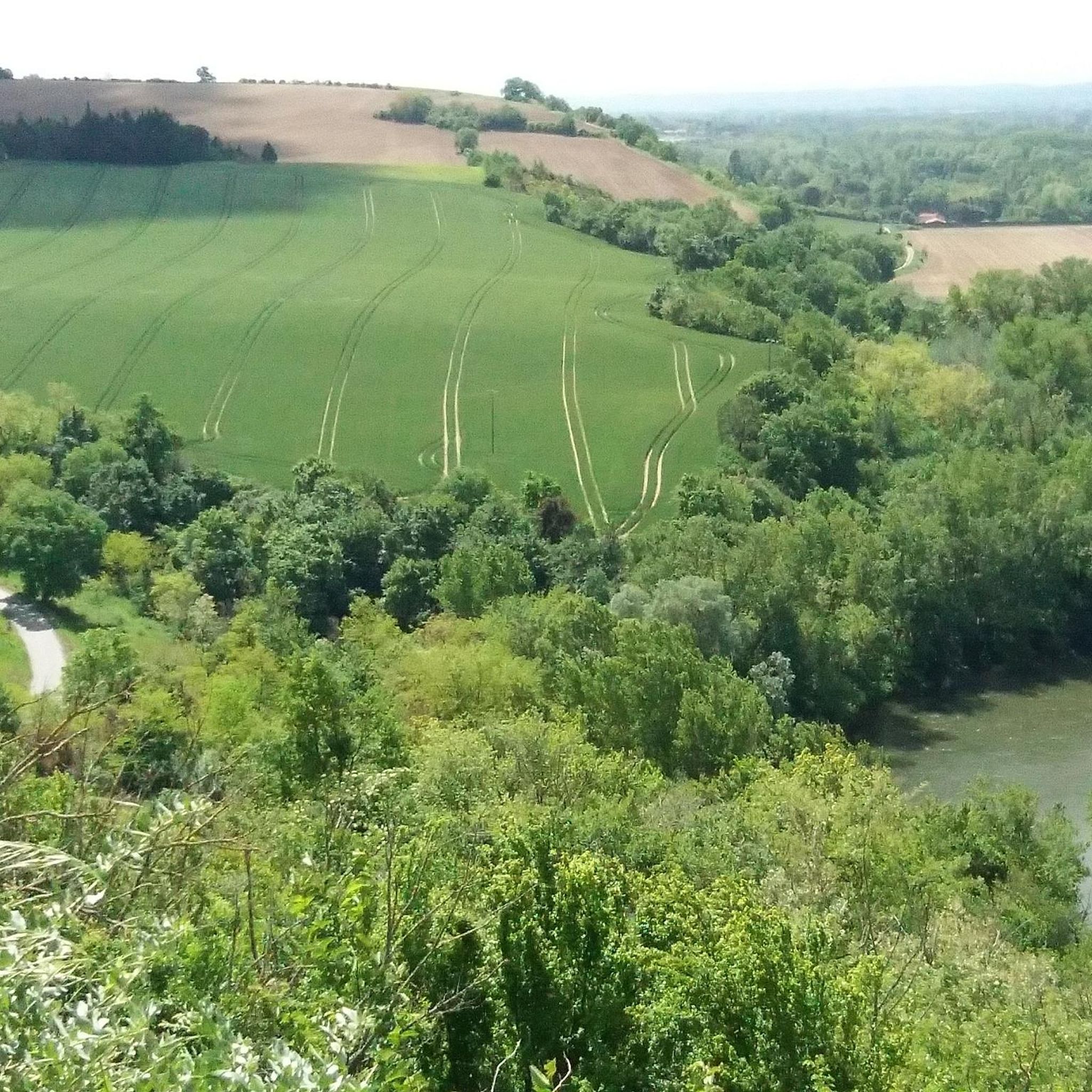
Road cycling around Auragne offers access to quiet country roads through a diverse landscape. The region is characterized by rolling countryside, gentle hills, and agricultural plains, providing varied terrain for cyclists. Tree-lined routes and paths along the Garonne basin contribute to scenic rides. This area in Haute-Garonne provides a pleasant environment for outdoor activities, with generally well-paved surfaces suitable for various fitness levels.
Best road cycling routes around Auragne
- The most popular road cycling route is Between Cintegabelle and Nailloux…
Last updated: July 1, 2026
4.5
(2)
8
riders
36.5km
01:48
550m
550m
Moderate road ride. Good fitness required. Mostly well-paved surfaces and easy to ride.
4.3
(6)
95
riders
60.9km
02:35
340m
340m
Moderate road ride. Good fitness required. Mostly well-paved surfaces and easy to ride.

Sign up for free
28
riders
11.4km
00:29
110m
110m
Easy road ride. Great for any fitness level. Mostly well-paved surfaces and easy to ride.
3.0
(1)
36
riders
47.8km
01:53
140m
140m
Easy road ride. Great for any fitness level. Mostly well-paved surfaces and easy to ride.
5.0
(1)
37
riders
32.5km
01:16
100m
100m
Easy road ride. Great for any fitness level. Mostly well-paved surfaces and easy to ride.
Get access to more routes and recommendations from other explorers.
Sign up for free
Already have an account?
Our route recommendations are based on thousands of hikes, rides, and runs completed by other people on komoot.
Start today with a free account
Your next adventure awaits.
Login or Signup



Tips from the Community

An ideal route to avoid the main departmental road that runs through the Lèze valley
0
0


Parish church (first half of the 19th century) with a bell gable in the "comb" style, rebuilt in 1851. Three bells, the oldest of which dates from 1867, classified as a Historical Monument since 30.10.1914
0
0

On the edge of Ariège (which gives its name to the department), the town of Saverdun, in addition to being well served by rail, is also the starting point for many excursions. Whether in the Pyrenean foothills to the west or in the beautiful plain to the east.
0
0


Drinking water point available on the left towards the cemetery entrance.
0
0
Small drinking water point accessible to the left of the cemetery entrance.
0
0

Frequently Asked Questions
How many road cycling routes are available around Auragne?
There are over 290 road cycling routes available around Auragne, catering to various skill levels. This includes 64 easy routes, 203 moderate routes, and 23 more challenging options, ensuring there's something for every cyclist.
What kind of terrain can I expect when road cycling near Auragne?
Road cycling around Auragne is characterized by quiet country roads, rolling countryside, and gentle hills. You'll encounter agricultural plains, tree-lined routes, and paths along the Garonne basin. The region offers a diverse landscape with generally well-paved surfaces.
Are there any easy road cycling routes suitable for beginners in Auragne?
Yes, Auragne offers several easy road cycling routes perfect for beginners. An excellent option is the Water point loop from Noueilles, an 11.4 km path that provides a serene experience through agricultural plains.
What are some longer road cycling routes for experienced riders in the Auragne area?
For more experienced riders looking for longer distances, the Saint-Lys Church – Road along La Lèze loop from Auterive is a great choice. This route covers 59.1 km, leading through tree-lined roads and local villages, offering a moderate challenge.
What towns or villages can I visit while road cycling from Auragne?
From Auragne, you can easily cycle to charming nearby towns. Auterive (5 km) and Villefranche-de-Lauragais (17 km) are great for local markets. For larger towns, Toulouse (24 km), Carbonne (25 km), Rieux-Volvestre (29 km), and Pamiers (31 km) offer unique historical and architectural interest.
Are there any interesting landmarks or natural features to see along the road cycling routes in Auragne?
Yes, the region offers several points of interest. You can explore the Trail of the Notre-Dame des Bois Chapel, visit the picturesque Montesquieu-Lauragais Village, or see the historic Moulin de Montbrun-Lauragais. The Canal du Midi, approximately 26 km away, also offers flat, tree-shaded towpaths for leisurely cycling and scenic views.
What do other road cyclists enjoy most about road cycling in Auragne?
The road cycling routes in Auragne are highly rated by the komoot community, with an average score of 4.2 stars from over 100 reviews. Cyclists often praise the quiet country roads, the diverse landscape of gentle hills and agricultural plains, and the overall pleasant environment for outdoor activities.
What is the best time of year to go road cycling in Auragne?
The Occitanie region, where Auragne is located, generally offers favorable conditions for cycling. Spring and autumn typically provide pleasant temperatures and less extreme weather, making them ideal for exploring the rolling countryside and quiet roads. Summer can also be enjoyable, especially during mornings or late afternoons.
Are there any circular road cycling routes around Auragne?
Yes, many routes around Auragne are designed as loops, allowing you to start and finish in the same location. For example, the Saverdun – Cintegabelle loop from Auterive is a 47.8 km easy route, and the Parish of Labarthe-sur-Lèze – Saint-Lys Church loop from Auterive covers 32.8 km.
Can I find cafes or restaurants near the road cycling routes in Auragne?
While Auragne itself is a small commune, the surrounding towns and villages accessible by bike offer various options. Auterive and Villefranche-de-Lauragais, for instance, have local markets and likely cafes. Larger towns like Toulouse, Carbonne, and Pamiers provide a wider selection of cafes and restaurants for a well-deserved break.
Is there public transport access to road cycling routes around Auragne?
Auragne is situated in a rural area, and direct public transport access specifically for road cycling routes might be limited. However, nearby larger towns like Toulouse are well-connected by public transport, which could serve as a starting point for rides into the Auragne region.
What are the elevation gains like on road cycling routes near Auragne?
The road cycling routes around Auragne feature gentle hills and rolling terrain. For example, the moderate Between Cintegabelle and Nailloux route has an elevation gain of approximately 550 meters over 36.5 km, while easier routes like the Water point loop from Noueilles have around 100 meters of elevation gain over 11.4 km.
Most popular attractions around Auragne

Get inspired with the komoot mobile app


Explore more
Browse the best Road cycling routes in other regions.
