The best running trails around Labruyère-Dorsa
4.4
(71)
3,639
runners
190
runs
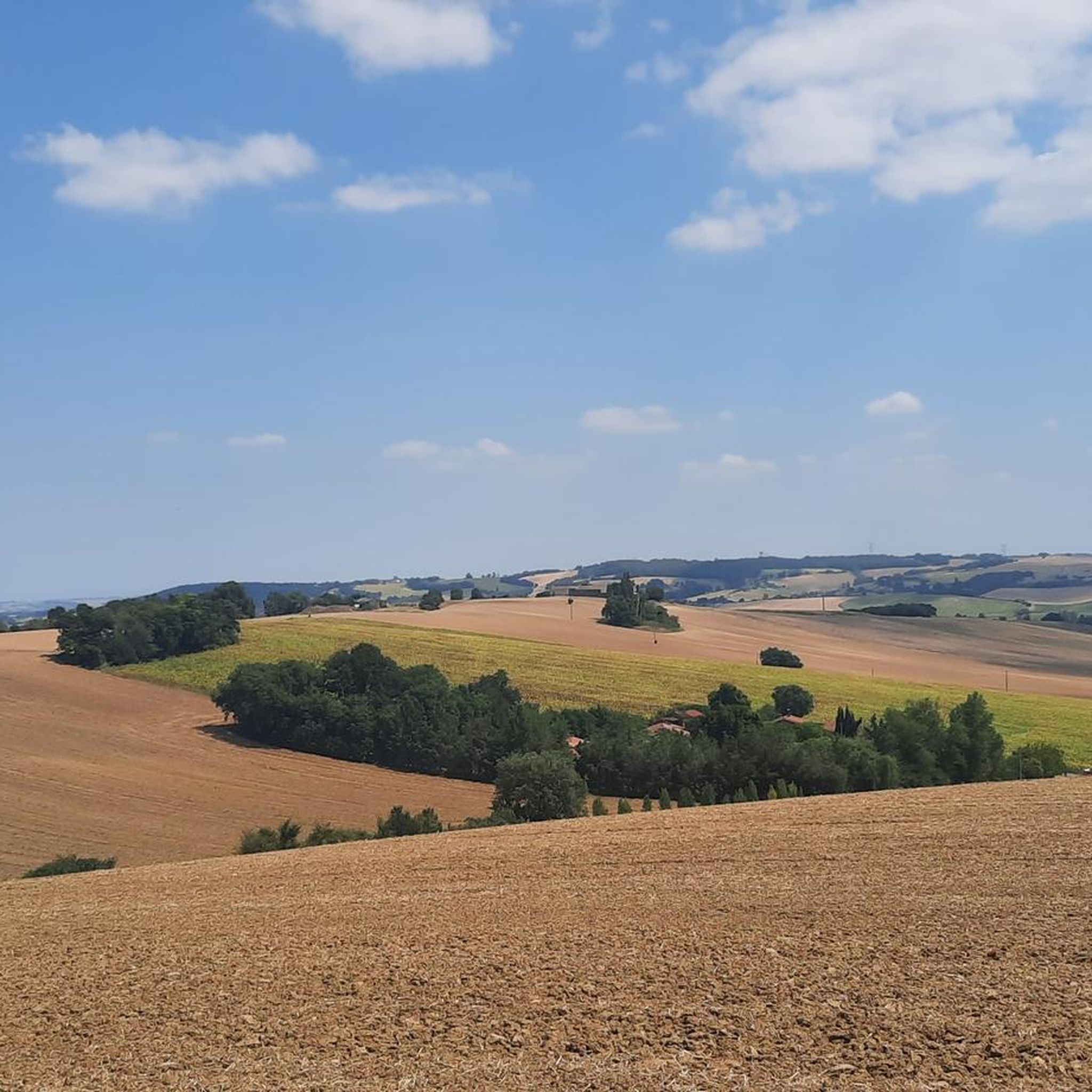
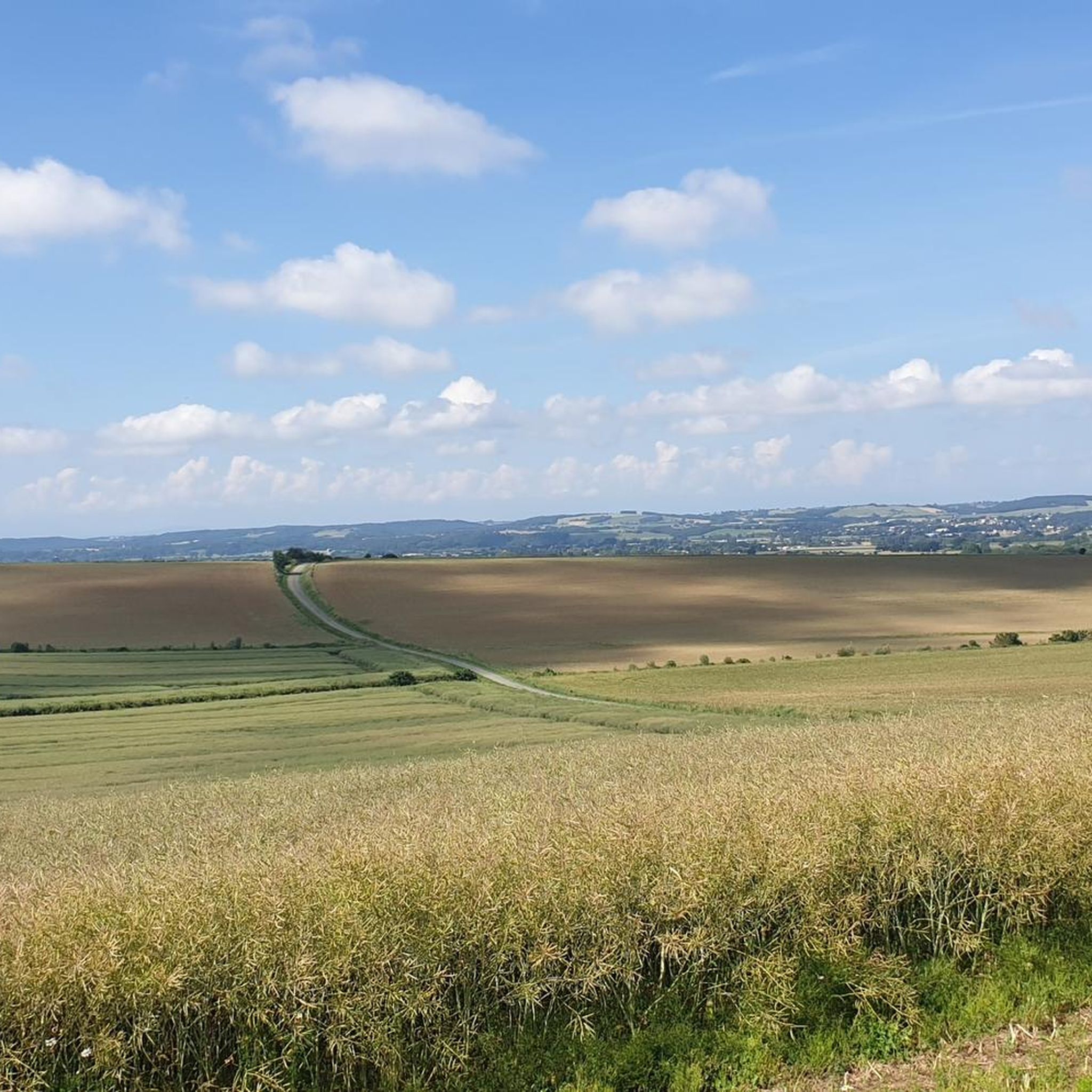
Jogging routes Labruyère-Dorsa traverse the varied landscapes of the Haute-Garonne department in southwestern France, situated in the slopes of Lauragais. The region features gentle elevation changes, with altitudes ranging from 184 to 252 meters, providing diverse terrain for running. Expect preserved wooded areas, rolling farmlands, and paths along the Lèze River, offering a natural and serene environment. The proximity to the Canal du Midi also provides flat, waterside paths suitable for running.
Best jogging routes around Labruyère-Dorsa
- The most popular jogging route is Church of Pinsaguel – Short singletrack alongside the Ariège loop from Vernet, a 5.0 miles (8.0 km) trail that takes about 54 minutes to complete. This route offers a moderate challenge along the Ariège river.
- Another top favourite among local runners is Church of Pinsaguel – Pont de Venerque-Grépiac loop from Vernet, a moderate 5.3 miles (8.5 km) path. This route features varied terrain through the local countryside, often completed in about 59 minutes.
- Local runners also love the Running loop from Labruyère-Dorsa, a 5.0 miles (8.0 km) trail leading through rolling farmlands, often completed in about 55 minutes.
- Jogging around Labruyère-Dorsa is defined by rolling farmlands, wooded areas, and river paths. The network offers options for easy, moderate, and difficult routes, catering to different ability levels.
- The routes in Labruyère-Dorsa are highly rated by the komoot community with an average score of 4.5 stars from over 50 reviews. More than 3000 runners have used komoot to explore Labruyère-Dorsa's varied terrain.
Last updated: October 13, 2026
5.0
(2)
83
runners
Moderate run. Good fitness required. Mostly paved surfaces. Suitable for all skill levels.
5.0
(2)
19
runners
8.65km
00:59
80m
90m
Moderate run. Good fitness required. Mostly paved surfaces. Suitable for all skill levels.

5.0
(1)
18
runners
13.4km
01:35
180m
180m
Moderate run. Good fitness required. Mostly paved surfaces. Suitable for all skill levels.
3.0
(1)
9
runners
8.03km
00:55
100m
100m
Moderate run. Good fitness required. Mostly paved surfaces. Suitable for all skill levels.
10
runners
Hard run. Very good fitness required. Mostly paved surfaces. Suitable for all skill levels.
Get access to more routes and recommendations from other explorers.
Already have an account?
Our route recommendations are based on thousands of hikes, rides, and runs completed by other people on komoot.
Start today with a free account
Your next adventure awaits.

Tips from the Community

This windmill-tower, located in the heart of the village, is a 17th century building (1680) made of Toulouse bricks. Restored in 2002, it is in working order
0
0

Beautiful view of the church of Montbrun Lauragais a few hundred meters from the mill
0
0

This little single passes near the Ariège. It is suitable for both mountain bikes and gravel. Passage near the waterfall. Really nice.
0
0
Beautiful building and possible starting point for beautiful walks by bike or on foot. Possibility of parking nearby at the nautical base.
0
0
Frequently Asked Questions
How many running routes are available in Labruyère-Dorsa?
Labruyère-Dorsa offers a wide selection of running routes, with over 170 trails available for exploration. These routes cater to various preferences, from gentle jogs to more challenging runs.
What kind of terrain can I expect on jogging routes in Labruyère-Dorsa?
The jogging routes in Labruyère-Dorsa feature diverse terrain, characterized by rolling farmlands, preserved wooded areas, and paths along the Lèze River. The region's gentle elevation changes, ranging from 184 to 252 meters, provide varied landscapes without extreme climbs, making it suitable for different running styles.
Are there running routes suitable for beginners or those looking for an easy jog?
Yes, Labruyère-Dorsa has several easy running paths perfect for beginners or those seeking a relaxed pace. There are at least 10 routes specifically graded as easy, allowing you to enjoy the scenic countryside without significant challenge.
What do other runners say about the trails in Labruyère-Dorsa?
The running trails in Labruyère-Dorsa are highly regarded by the komoot community, boasting an average rating of 4.5 stars from over 50 reviews. More than 3,000 runners have explored the area, often praising the tranquil surroundings and varied terrain.
Are there any circular running routes in Labruyère-Dorsa?
Many of the running routes in Labruyère-Dorsa are designed as loops, offering convenient circular paths. For example, the Running loop from Labruyère-Dorsa is a popular 5-mile (8 km) trail that takes you through rolling farmlands and brings you back to your starting point.
Can I find longer, more challenging running trails for experienced runners?
Absolutely. For experienced runners seeking a greater challenge, Labruyère-Dorsa offers several difficult routes. One notable option is the Moulin de Montbrun-Lauragais – Faurchaut downhill bobsleigh loop from Issus, which spans over 12 miles (20 km) with significant elevation gain, providing a demanding workout.
Are there any interesting landmarks or natural features to see along the running routes?
Yes, the area around Labruyère-Dorsa is rich in natural beauty and historical sites. You can explore the Trail of the Notre-Dame des Bois Chapel, visit the historic Moulin de Montbrun-Lauragais, or enjoy runs along the picturesque Lèze River. The Banks of the Canal du Midi at Donneville also offer flat, scenic paths just a short distance away.
Are there any running routes that follow rivers or canals?
Yes, the region provides excellent opportunities for waterside running. Many paths follow the Lèze River, offering serene views. Additionally, the nearby Canal du Midi, just 2.5 km away, features flat, well-maintained towpaths that are very popular for running and cycling.
What is a popular moderate running route in the area?
A highly favored moderate route among local runners is the Church of Pinsaguel – Pont de Venerque-Grépiac loop from Vernet. This 5.3-mile (8.5 km) path offers varied terrain through the local countryside and typically takes about 59 minutes to complete.
Are the running routes in Labruyère-Dorsa suitable for families?
Many of the easier and moderate routes, particularly those through rolling farmlands and wooded areas with gentle elevation, are suitable for families. The serene environment and varied landscapes provide an enjoyable experience for all ages, though specific family-friendly amenities should be checked per route.
What are the typical distances of jogging routes in Labruyère-Dorsa?
The jogging routes in Labruyère-Dorsa vary in distance, catering to different preferences. You can find shorter routes around 3-5 miles (5-8 km), such as the Church of Pinsaguel – Short singletrack alongside the Ariège loop from Vernet, as well as longer, more challenging trails extending over 12 miles (20 km).
Most popular routes around Labruyère-Dorsa
Most popular attractions around Labruyère-Dorsa

Get inspired with the komoot mobile app


Explore more
Browse the best Running Trails & Routes in other regions.
