The best running trails around Boissy-Aux-Cailles
4.4
(135)
6,592
runners
180
runs
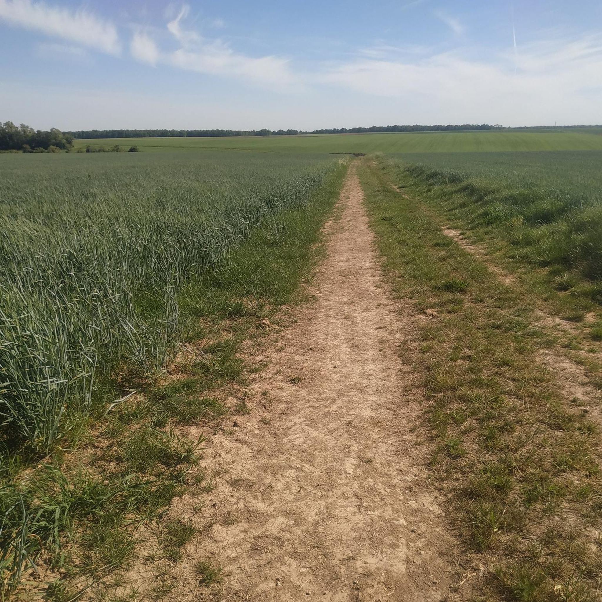
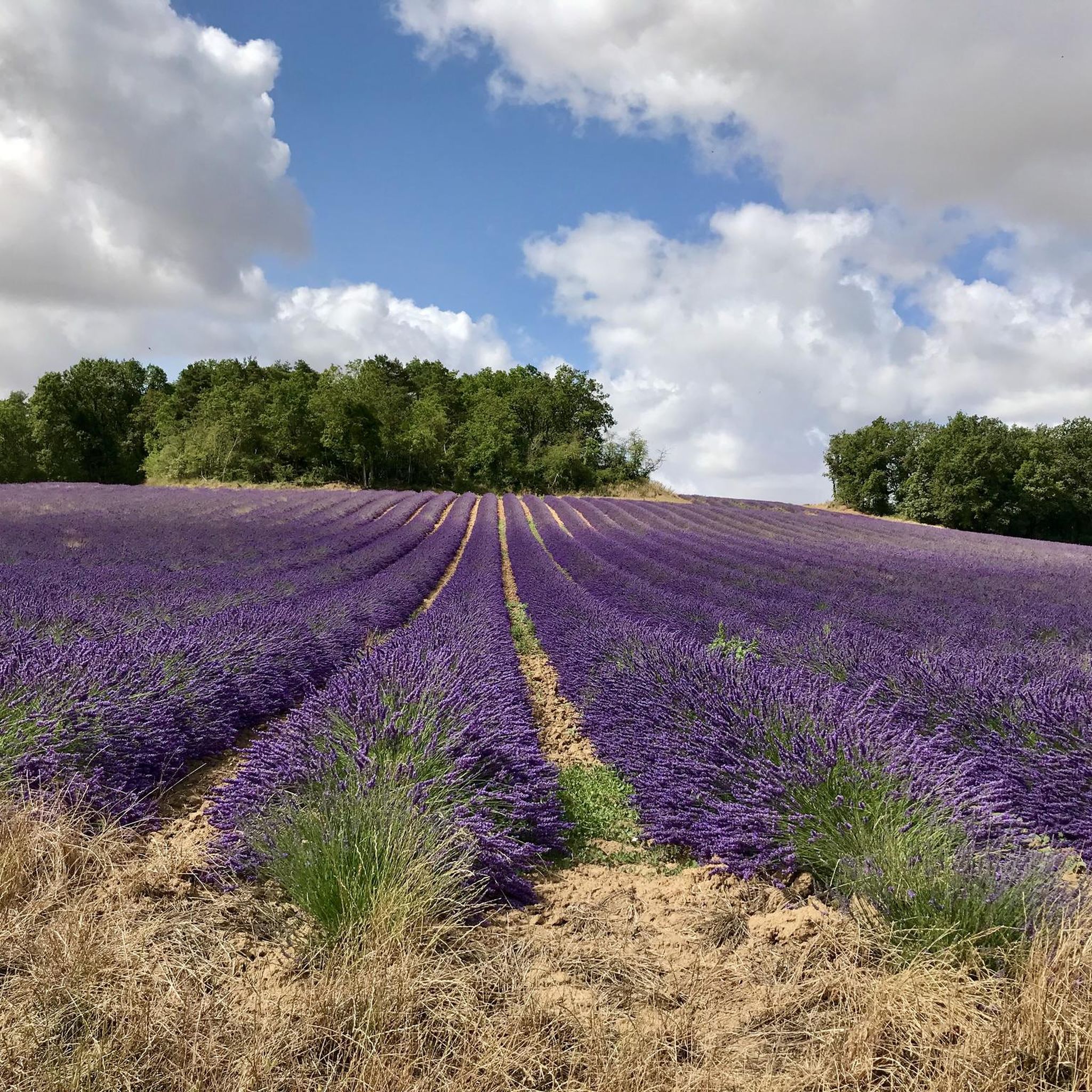
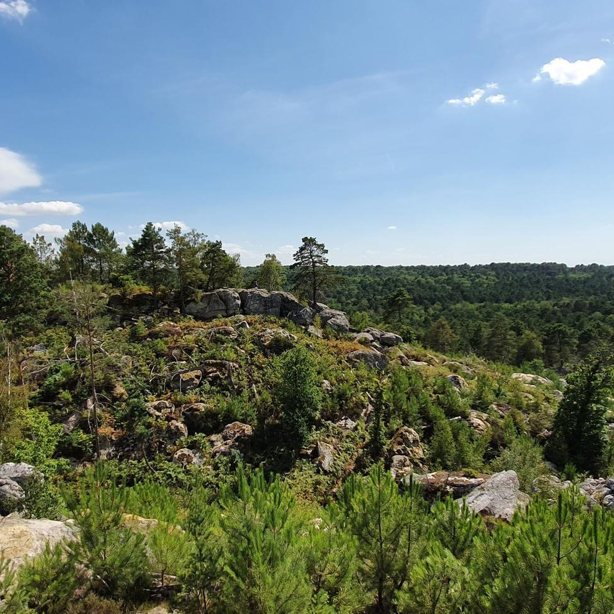
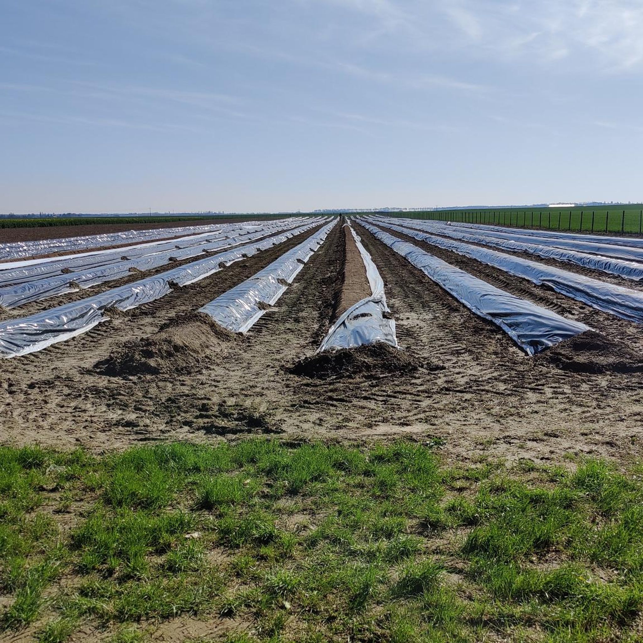
Jogging around Boissy-Aux-Cailles offers diverse natural landscapes within the Pays de Fontainebleau and the Gâtinais Français Regional Natural Park. The terrain features extensive woods and forests, interspersed with agricultural lands, providing a mix of shaded trails and open paths. The subsoil is composed of sand and sandstone, creating unique and varied surfaces for running. The area also presents varied topography with valleys and plateaus, offering different elevation changes.
Best jogging routes around Boissy-Aux-Cailles
- The most popular jogging route is Running…
Last updated: June 29, 2026
56
runners
11.3km
01:24
150m
150m
Moderate run. Good fitness required. Mostly paved surfaces. Suitable for all skill levels.
77
runners
15.3km
01:53
140m
140m
Hard run. Very good fitness required. Mostly paved surfaces. Suitable for all skill levels.

Sign up for free
4
runners
Moderate run. Good fitness required. Mostly paved surfaces. Suitable for all skill levels.
5.0
(2)
4
runners
12.6km
01:30
80m
80m
Moderate run. Good fitness required. Mostly paved surfaces. Suitable for all skill levels.
6
runners
7.38km
00:47
30m
30m
Moderate run. Good fitness required. Mostly paved surfaces. Suitable for all skill levels.
Get access to more routes and recommendations from other explorers.
Sign up for free
Already have an account?
Our route recommendations are based on thousands of hikes, rides, and runs completed by other people on komoot.
Start today with a free account
Your next adventure awaits.
Login or Signup

Tips from the Community

quick access to the dog's ass
0
0


Impossible to miss, Turtle Rock is one of the easiest rocks to know and recognize.
0
0


This rock is one of many rocks in the area with an evocative shape. Here you can't go wrong, the turtle makes a remarkable appearance overlooking the path.
0
1

Small course with a bit of a slope… however very pleasant landscape
0
0

Here you will find the Saint-Martin de Malesherbes church, rebuilt just after the Hundred Years War. Among the treasures it houses is the cenotaph of Monsieur de Malesherbes. It is a white marble bust, a work of Dumont offered by Louis XVIII to Malesherbois in the 19th century. If you return, you will be able to appreciate the Entombment of Christ, a statue with eight characters by Adrien Wincart for the Chapel of the Château de Malesherbes. That said, the exterior of the building is already worth the detour!
1
0

Frequently Asked Questions
How many running routes are available around Boissy-Aux-Cailles?
There are over 170 running routes around Boissy-Aux-Cailles, offering a wide variety of distances and difficulty levels. This includes 18 easy routes, 134 moderate routes, and 20 difficult routes, catering to all types of runners.
What kind of terrain can I expect on the running trails in this region?
The running trails around Boissy-Aux-Cailles feature diverse natural landscapes. You'll encounter extensive woods and forests, agricultural lands, and unique sandstone formations. The subsoil is composed of sand and sandstone, creating varied surfaces. The area also includes valleys and plateaus, offering opportunities for varied elevation changes.
Are there any circular running routes available?
Yes, many of the running routes around Boissy-Aux-Cailles are circular. For example, the Running loop from Buthiers is a popular 7.2-mile (11.5 km) trail that takes you through varied forest and open terrain, starting and ending in the same location.
Can I find routes with scenic viewpoints or interesting landmarks?
Absolutely! The region is rich in natural beauty and historical sites. You can explore routes that pass by unique geological formations like The Elephant or Béorlots Sand Dune. Some trails may also lead you past historical elements such as the Cross of Lorraine on the Maquisards' Pignon or the Ruins of the Saint-Mathurin Basilica.
What do other runners say about the trails in Boissy-Aux-Cailles?
The running routes in Boissy-Aux-Cailles are highly rated by the komoot community, with an average score of 4.6 stars from over 90 reviews. More than 5,000 runners have used komoot to explore the varied terrain, often praising the peaceful atmosphere, diverse landscapes, and well-maintained paths.
Are there any easy running paths suitable for beginners or a relaxed jog?
Yes, Boissy-Aux-Cailles offers 18 easy running routes perfect for beginners or those looking for a relaxed jog. These paths typically feature less elevation gain and smoother terrain, allowing you to enjoy the tranquil surroundings at a comfortable pace.
Are there any running routes that are less crowded?
Given the vastness of the surrounding Fontainebleau Forest and the Gâtinais Français Regional Natural Park, it's possible to find less crowded routes, especially during off-peak hours or by exploring some of the lesser-known trails. The region's overall tranquil atmosphere contributes to a peaceful running experience.
Is there public transport access to the running routes?
While Boissy-Aux-Cailles is a rural area, some public transport options might connect to nearby towns. However, for direct access to many trailheads, especially those deeper within the natural park or forest, personal transport is often recommended. It's advisable to check local bus schedules for specific starting points.
Are there parking facilities available near the running trails?
Yes, many trailheads and popular starting points for running routes around Boissy-Aux-Cailles, particularly those bordering the Fontainebleau Forest, offer designated parking areas. It's common to find parking near villages like Buthiers or Le Vaudoué, which serve as access points to various trails.
What is a good running route for experiencing the unique sandstone formations?
To experience the unique sandstone formations, consider the The swamp loop from Buthiers. This 4.8-mile (7.8 km) trail leads through forests and unique sandstone features, offering a distinctive running experience in about 53 minutes.
Can I combine running with exploring historical sites in the area?
Certainly! The region offers a blend of natural beauty and history. While on your run, you might pass by the historic 12th-century Saint-Martin church in Boissy-Aux-Cailles or the remarkably preserved old cemetery, adding a cultural dimension to your outdoor activity.
What makes the running experience in Boissy-Aux-Cailles unique?
The running experience in Boissy-Aux-Cailles is unique due to its location within the Gâtinais Français Regional Natural Park, known as the 'land of a thousand clearings and sandstone.' This provides a dynamic mix of extensive forests, open clearings, and distinctive geological features, all set within a tranquil, rural environment.
Most popular routes around Boissy-Aux-Cailles
Most popular attractions around Boissy-Aux-Cailles

Get inspired with the komoot mobile app


Explore more
Browse the best Running Trails & Routes in other regions.
