The best running trails around Garentreville
4.2
(31)
1,100
runners
54
runs
Jogging around Garentreville offers access to diverse landscapes within the French Gâtinais Regional Natural Park and the nearby Fontainebleau Forest. The village itself is situated on a plain, with gentle undulations and agricultural fields of sugar beet, cereals, and rapeseed. The expansive Fontainebleau Forest, a UNESCO Biosphere Reserve, provides an extensive network of trails through varied terrain including rocky outcrops, sandy areas, elevated plateaus, and dense forests. This region provides a range of running experiences from flat stretches to routes…
Last updated: June 29, 2026
92
runners
15.4km
01:54
270m
270m
Hard run. Very good fitness required. Mostly paved surfaces. Suitable for all skill levels.
13
runners
Moderate run. Good fitness required. Mostly paved surfaces. Suitable for all skill levels.

Sign up for free
5.0
(2)
15
runners
14.9km
01:45
110m
110m
Moderate run. Good fitness required. Mostly paved surfaces. Suitable for all skill levels.
5
runners
Moderate run. Good fitness required. Mostly paved surfaces. Suitable for all skill levels.
4.0
(2)
7
runners
7.85km
00:54
80m
80m
Moderate run. Good fitness required. Mostly paved surfaces. Suitable for all skill levels.
Get access to more routes and recommendations from other explorers.
Sign up for free
Already have an account?
Our route recommendations are based on thousands of hikes, rides, and runs completed by other people on komoot.
Start today with a free account
Your next adventure awaits.
Login or Signup
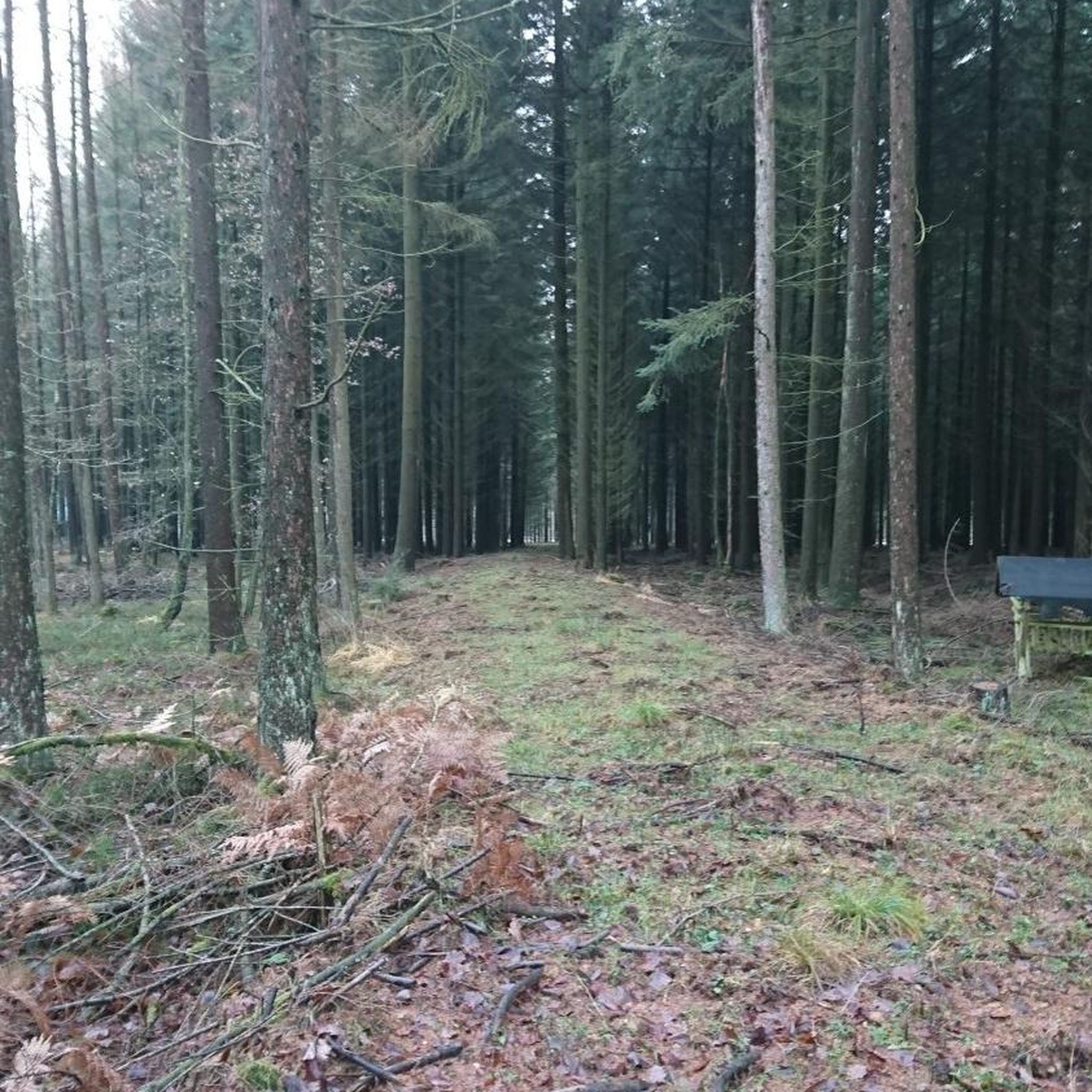

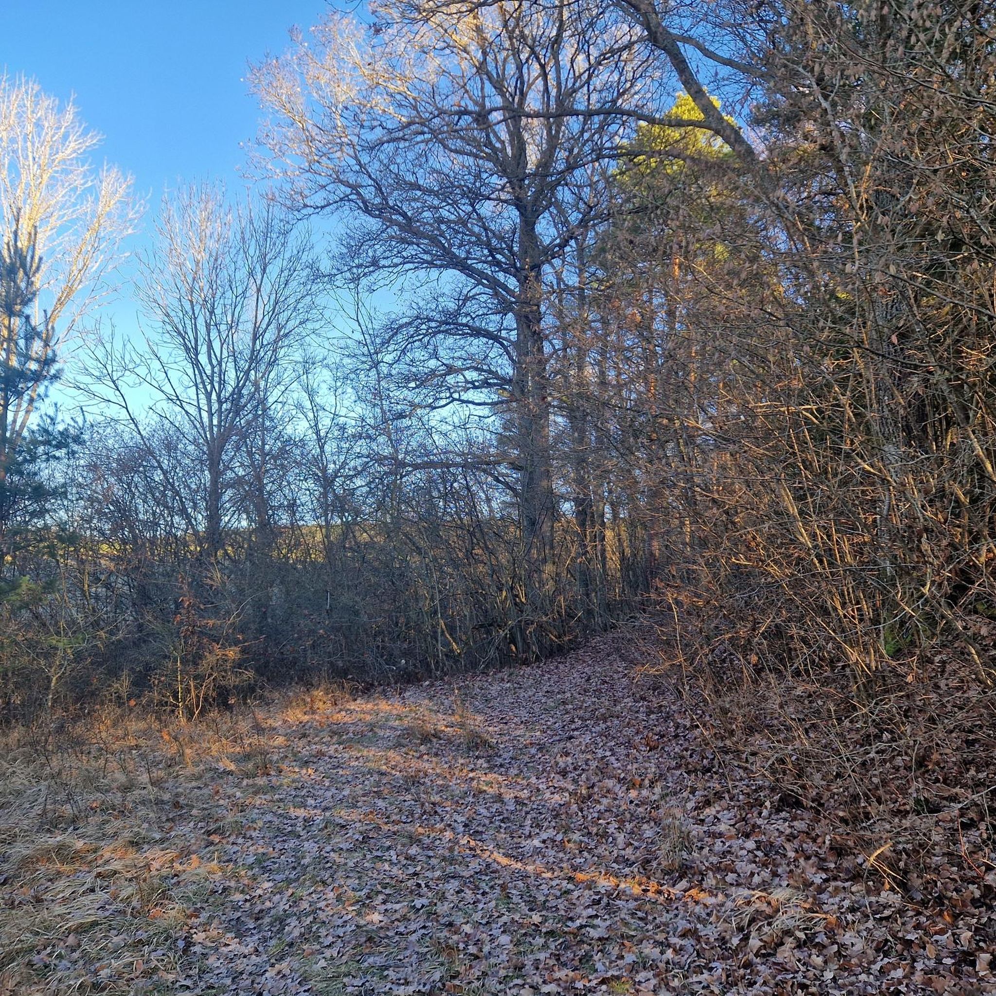
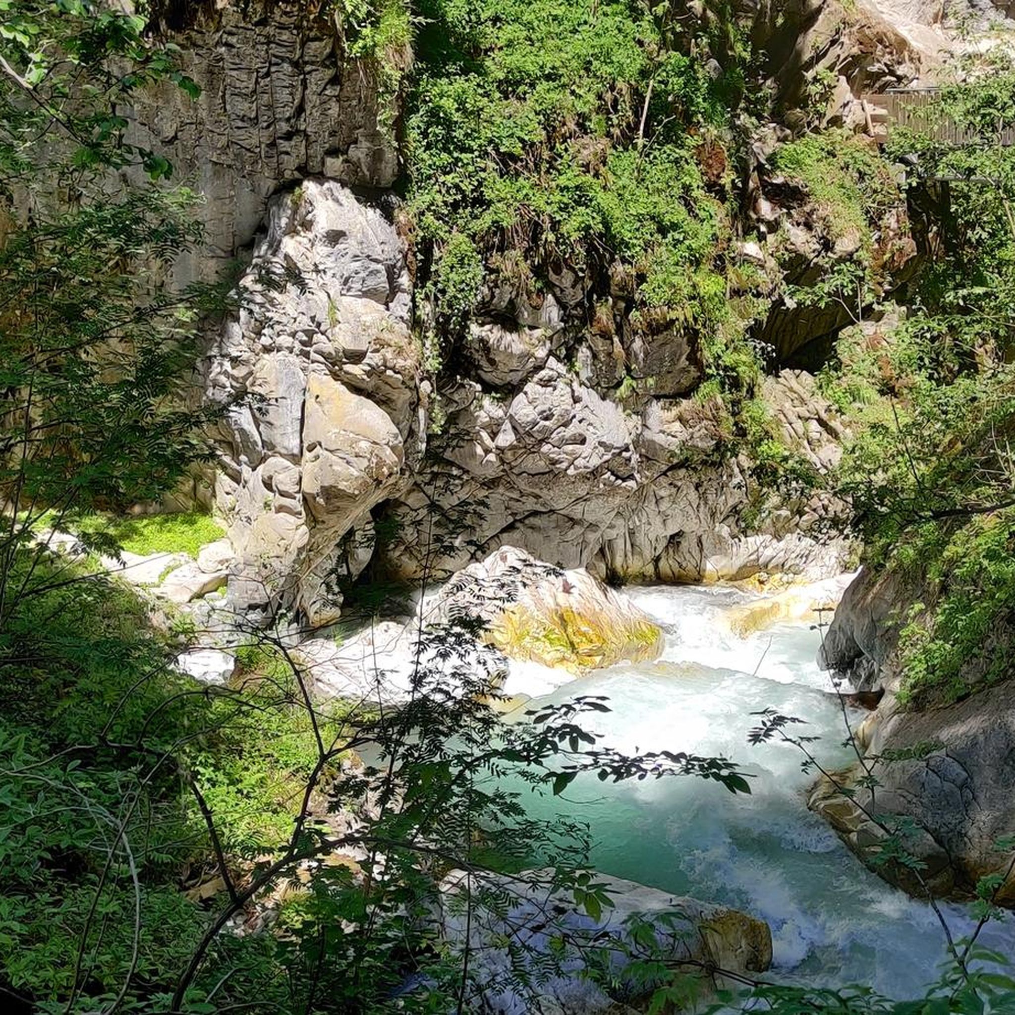

Tips from the Community

A large white sand dune in the middle of the forest.
0
0
Beautiful view of the forest and the village of Larchant.
0
0
Beautiful view of the forest and the village of Larchant.
0
0
Not hard to see the elephant shape of the rock. Some nice paths and trails around.
0
0

…without forgetting the famous “dog’s ass” 🙂
1
0

Viewpoint overlooking the surrounding forest. Among the rocks with shapes as varied as imaginable! It's up to you to decide what you see as an object in the shape of these rocks.
2
0

St-Mathurin Basilica - Very beautiful Gothic church of which only the chevet remains intact. The bell tower and the western facade are in ruins and the southern facade has collapsed.
0
0

View of Larchant and its clearing.
1
0
Frequently Asked Questions
How many running routes are available around Garentreville?
There are over 50 running routes available around Garentreville, offering a wide variety of experiences. These include paths through the charming local agricultural landscapes and extensive trails within the nearby Fontainebleau Forest.
What kind of terrain can I expect on the running trails near Garentreville?
The terrain is quite diverse. You can expect gentle undulations and agricultural fields around Garentreville itself. In the Fontainebleau Forest, you'll find everything from rocky outcrops and sandy areas to elevated plateaus, deep gorges, and dense stands of both deciduous and softwood trees, ensuring varied and engaging runs.
Are there running routes suitable for beginners or those looking for an easier run?
Yes, there are several options for easier runs. Out of the 50 routes available, 6 are classified as easy, providing gentle paths suitable for beginners or a more relaxed pace. You can find routes that stick to the plains and agricultural areas for a less challenging experience.
What do other runners say about the trails around Garentreville?
The running routes in this area are highly rated by the komoot community, with an average score of 4.4 stars from more than 10 reviews. Runners often praise the diverse landscapes, from the peaceful agricultural fields to the unique rock formations and extensive forests of Fontainebleau.
Are there any circular running routes in the area?
Yes, many of the routes are circular, allowing you to start and end at the same point. For example, the Ruins of the church of Larchant – Dame Jouanne Car Park loop from Larchant is a popular circular trail that offers views of historical ruins and varied forest terrain.
What natural landmarks or points of interest can I see while running?
The region is rich in natural beauty. You might encounter unique rock formations, some shaped like animals, within the Fontainebleau Forest. Notable natural highlights include The Elephant rock formation and the Dame Jouanne Viewpoint, which offers extensive vistas. The Rocher de la Justice – Dame Jouanne Viewpoint loop from Larchant is a great option for panoramic views.
Are there any historical sites along the running routes?
Yes, you can combine your run with a glimpse into history. The Dame Jouanne Car Park – Ruins of the church of Larchant loop from Larchant passes by the ruins of the church of Larchant. Additionally, the Ruins of the Saint-Mathurin Basilica are a significant historical site in the broader area.
Can I find longer or more challenging running routes near Garentreville?
Absolutely. For those seeking a greater challenge, there are 7 routes classified as difficult, and 37 are moderate. An example of a more demanding run is The Elephant – Elephant Rock loop from Puiselet, which covers over 17 km and features significant elevation changes.
Is there parking available near the trailheads for running routes?
Yes, many popular trailheads, especially those leading into the Fontainebleau Forest, offer designated parking areas. For instance, routes like the Ruins of the church of Larchant – Dame Jouanne Car Park loop from Larchant are accessible from car parks, making it convenient to start your run.
What is the best time of year for running in the Garentreville region?
The region offers a continually changing palette of colors throughout the seasons, making it enjoyable year-round. Spring and autumn provide pleasant temperatures and beautiful foliage. Summer can be warm, but the dense forest offers shade. Winter runs can be crisp and quiet, especially in the sheltered forest paths.
Are there any running routes that are particularly family-friendly?
While specific 'family-friendly' routes are not explicitly detailed, the presence of easier paths and the varied, engaging terrain of the Fontainebleau Forest mean that many shorter, less challenging loops could be suitable for families. Look for routes with minimal elevation gain and well-maintained surfaces.
Can I bring my dog on the running trails?
The Fontainebleau Forest, which hosts many of the running routes, generally welcomes dogs, often requiring them to be on a leash in certain areas or during specific times to protect wildlife. It's always best to check local signage or park regulations for the specific trail you plan to use to ensure compliance.
Are there cafes or shops near the running routes for refreshments?
Garentreville itself has a rustic charm, and you may find local establishments. For more options, the nearby towns and villages, especially those bordering the Fontainebleau Forest, offer cafes, bakeries, and shops where you can refuel after your run.
Most popular routes around Garentreville
Most popular attractions around Garentreville

Get inspired with the komoot mobile app


Explore more
Browse the best Running Trails & Routes in other regions.
