The best walks and hikes around La Houssaye-Béranger
4.5
(235)
1,091
hikers
116
hikes
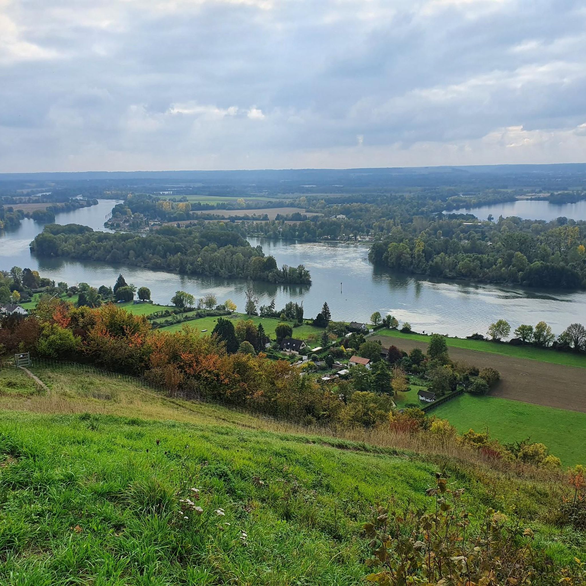
Hiking around La Houssaye-Béranger offers access to the varied landscapes of the Pays de Caux region. The area is characterized by verdant countryside, extensive forests, and rolling hills. Hikers will encounter traditional "Clos-Masures" farmsteads enclosed by beech hedges, and the terrain includes wooded valleys and plateaus. This chalk plateau region provides diverse backdrops for exploration.
Best hiking trails around La Houssaye-Béranger
- The most popular hiking route is Clères Daffodil Festival – Clères Village loop from Clères, a 4.9 miles…
Last updated: October 18, 2026
4.6
(5)
23
hikers
7.60km
02:03
100m
100m
Moderate hike. Good fitness required. Easily-accessible paths. Suitable for all skill levels.
5.0
(5)
20
hikers
5.76km
01:34
80m
80m
Easy hike. Great for any fitness level. Easily-accessible paths. Suitable for all skill levels.

5.0
(5)
19
hikers
5.45km
01:28
70m
70m
Easy hike. Great for any fitness level. Easily-accessible paths. Suitable for all skill levels.
4.8
(4)
14
hikers
10.9km
03:00
190m
190m
Moderate hike. Good fitness required. Easily-accessible paths. Suitable for all skill levels.
4.3
(3)
10
hikers
8.47km
02:10
30m
30m
Moderate hike. Good fitness required. Easily-accessible paths. Suitable for all skill levels.
Get access to more routes and recommendations from other explorers.
Already have an account?
Our route recommendations are based on thousands of hikes, rides, and runs completed by other people on komoot.
Start today with a free account
Your next adventure awaits.
Tips from the Community

Clères is a French commune with 1,380 inhabitants in the Seine-Maritime department in the Normandy region. It belongs to the arrondissement of Rouen and the canton of Bois-Guillaume.
0
0


Located in the center of the village, opposite the church, this area is very pleasant. This gives you access to tables, a kiosk with reading corner and a play area for children. Ideal for taking a break!
0
0
The building consists of a nave, a choir and a sacristy, built longitudinally. Within the church, several works are presented. The first two are wooden bas-reliefs displayed in the choir and seem to have been made around 1650.
0
0
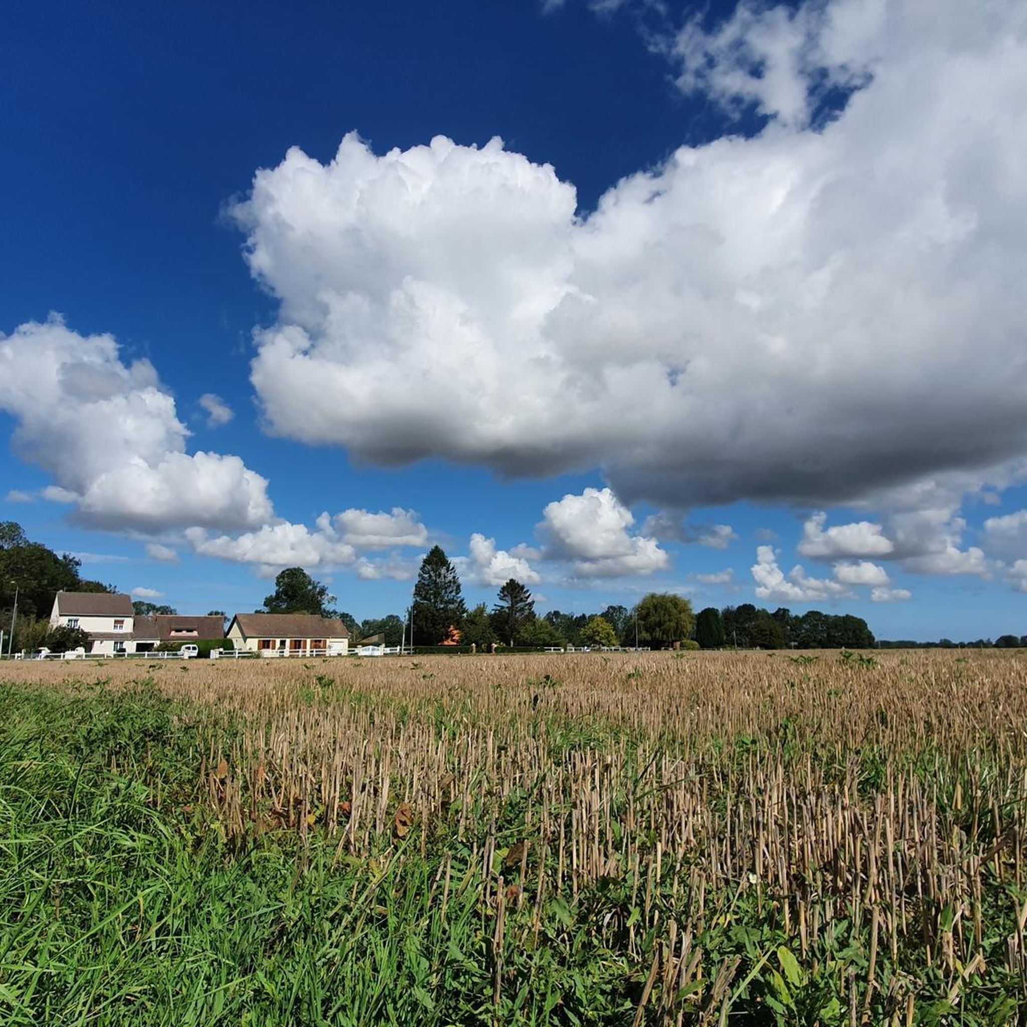
The Chemin du Mouchel, a long straight line on the plateau, will offer you a nice view of the surrounding crops and the Bocasse leisure park. It ends with a wooded descent to reach Clères.
0
0
Small pleasant sloping path (40m elevation gain) before reaching the fields of the Bocasse plateau.
0
0
You move peacefully on a pretty little country road between the hillside of Dix-Huit Acres and the pleasant Grugny woods.
0
0
You are taking part of a path steeped in history(s). The term “Chasse-Marée” designated the fishmongers who transported fish between Dieppe and the capital. In the 18th century, nearly 5,000 cars per year made the trip, carrying up to 200 pounds of fish every day. The tide chaser, pulled by 4 to 6 horses, was a long vehicle, with slightly curved wicker sides in the shape of a cradle, mounted on two high wheels.
0
0
Frequently Asked Questions
How many hiking trails are available around La Houssaye-Béranger?
There are over 100 hiking routes around La Houssaye-Béranger, offering a wide range of options for different fitness levels. These include 37 easy trails, 67 moderate routes, and a few more challenging options.
What kind of landscapes can I expect to see while hiking in the Pays de Caux region?
The Pays de Caux region, where La Houssaye-Béranger is located, is characterized by verdant countryside, extensive forests, and rolling hills. You'll encounter traditional "Clos-Masures" farmsteads, which are unique Norman farmsteads enclosed by tall beech hedges. In June, you might also see beautiful blue flax fields in bloom, adding a vibrant touch to the landscape.
Are there any family-friendly hiking options near La Houssaye-Béranger?
Yes, there are many family-friendly options. For an easy and enjoyable walk, consider the Chemin du Mouchel – Bois de Grugny Trail loop from Le Bocasse, which is 5.75 km long and takes about 1 hour 34 minutes through the Bois de Grugny forest. The village also offers a digital heritage trail, an easy pedestrian circuit that guides visitors through emblematic historical places.
What are some notable landmarks or attractions to look out for on hikes?
Beyond the natural beauty, you can explore several points of interest. The historic Church of St. Pierre in La Houssaye-Béranger dates back to the twelfth century. Nearby, you might visit the Clères Zoological Park, which features diverse trees and heritage buildings. Other highlights include the Clères Village and the Source of the Austreberthe.
Are there any circular hiking routes available?
Yes, many of the trails in the area are circular, allowing you to start and end in the same location. An example is the Clères Village – Clères Daffodil Festival loop from Le Bocasse, a moderate 12.45 km route that takes around 3 hours 25 minutes.
What do other hikers say about the trails around La Houssaye-Béranger?
The area is highly rated by the komoot community, with an average score of 4.5 stars from over 170 reviews. Hikers often praise the varied landscapes, the peaceful countryside, and the well-maintained paths that showcase the unique charm of the Pays de Caux.
When is the best time of year to go hiking in this region?
The Pays de Caux offers beautiful scenery throughout much of the year. Spring and summer are particularly pleasant, with the countryside in full bloom, including the striking blue flax fields in June. The verdant forests and rolling hills provide a refreshing backdrop for walks during these seasons.
Are there any easy hiking trails for beginners or those looking for a relaxed walk?
Absolutely. There are 37 easy trails in the area. An excellent choice for a relaxed walk is the Clères Daffodil Festival – Clères Village loop from Clères, an easy 5.85 km path that can be completed in about 1 hour 35 minutes.
What are "Clos-Masures" and will I see them on the trails?
Clos-Masures are a unique architectural and agricultural feature of the Pays de Caux. They are traditional Norman farmsteads enclosed by tall beech hedges, which serve as windbreaks and create distinctive visual elements in the rural landscape. You will likely encounter these characteristic features on many of the trails, offering a glimpse into local heritage.
Is public transport available to reach hiking trailheads near La Houssaye-Béranger?
While specific public transport details for individual trailheads are not provided, the broader Seine-Maritime department offers some public transport options. It's advisable to check local bus schedules or regional train services to nearby towns like Clères or Le Bocasse, from which many trails originate, for the most up-to-date information.
Are there any specific natural features like rivers or valleys to explore?
Yes, the Pays de Caux is an undulating plateau, meaning hikers can expect a mix of terrains including wooded valleys and plateaus. You can also explore the Source of the Austreberthe, a natural highlight in the region, which offers a pleasant natural feature along some routes.
Are there any longer, more challenging hikes for experienced hikers?
While the majority of trails are easy to moderate, there are a few more challenging options available for experienced hikers. These routes typically feature greater elevation changes and longer distances, providing a more strenuous experience within the varied terrain of the Pays de Caux.
Most popular routes around La Houssaye-Béranger
Most popular attractions around La Houssaye-Béranger

Get inspired with the komoot mobile app


Explore more
Browse the best Hikes in other regions.
