The best walks and hikes around Thoury-Férottes
4.0
(34)
231
hikers
83
hikes
Hiking around Thoury-Férottes offers diverse landscapes, including woods, agricultural lands, and valleys. The terrain features sufficiently hilly sections that provide perspectives across the Yonne and Seine-et-Marne departments. Hikers can encounter natural rock formations, such as La Roche du Sault, and enjoy views of the Seine River and Loing Canal. The region's ample greenery and mixed environments contribute to a varied outdoor experience.
Best hiking trails around Thoury-Férottes
- The most popular hiking route is Diant Castle loop from Voulx, an…
Last updated: July 4, 2026
4.0
(1)
11
hikers
6.06km
01:36
60m
60m
Easy hike. Great for any fitness level. Easily-accessible paths. Suitable for all skill levels.
7
hikers
Moderate hike. Good fitness required. Easily-accessible paths. Suitable for all skill levels.

Sign up for free
4
hikers
4.81km
01:14
20m
20m
Easy hike. Great for any fitness level. Easily-accessible paths. Suitable for all skill levels.
4.0
(1)
10
hikers
5.23km
01:24
60m
60m
Easy hike. Great for any fitness level. Easily-accessible paths. Suitable for all skill levels.
10
hikers
Moderate hike. Good fitness required. Easily-accessible paths. Suitable for all skill levels.
Get access to more routes and recommendations from other explorers.
Sign up for free
Already have an account?
Our route recommendations are based on thousands of hikes, rides, and runs completed by other people on komoot.
Start today with a free account
Your next adventure awaits.
Login or Signup
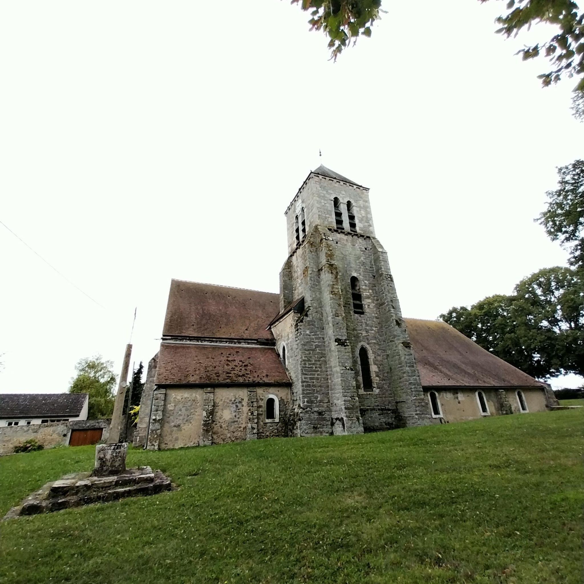

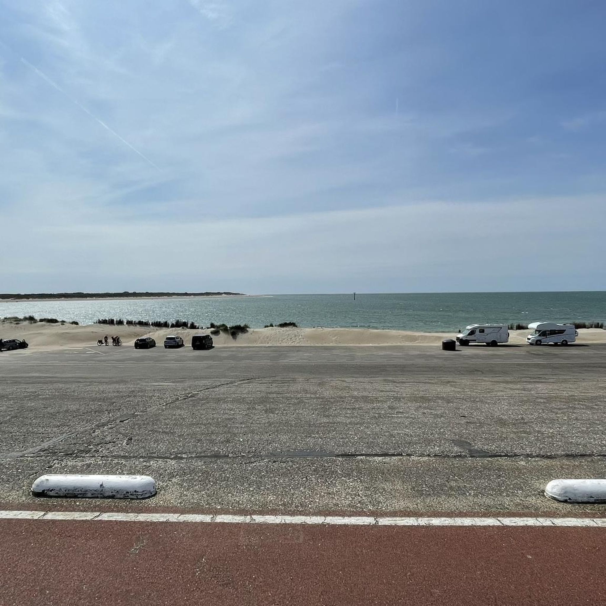
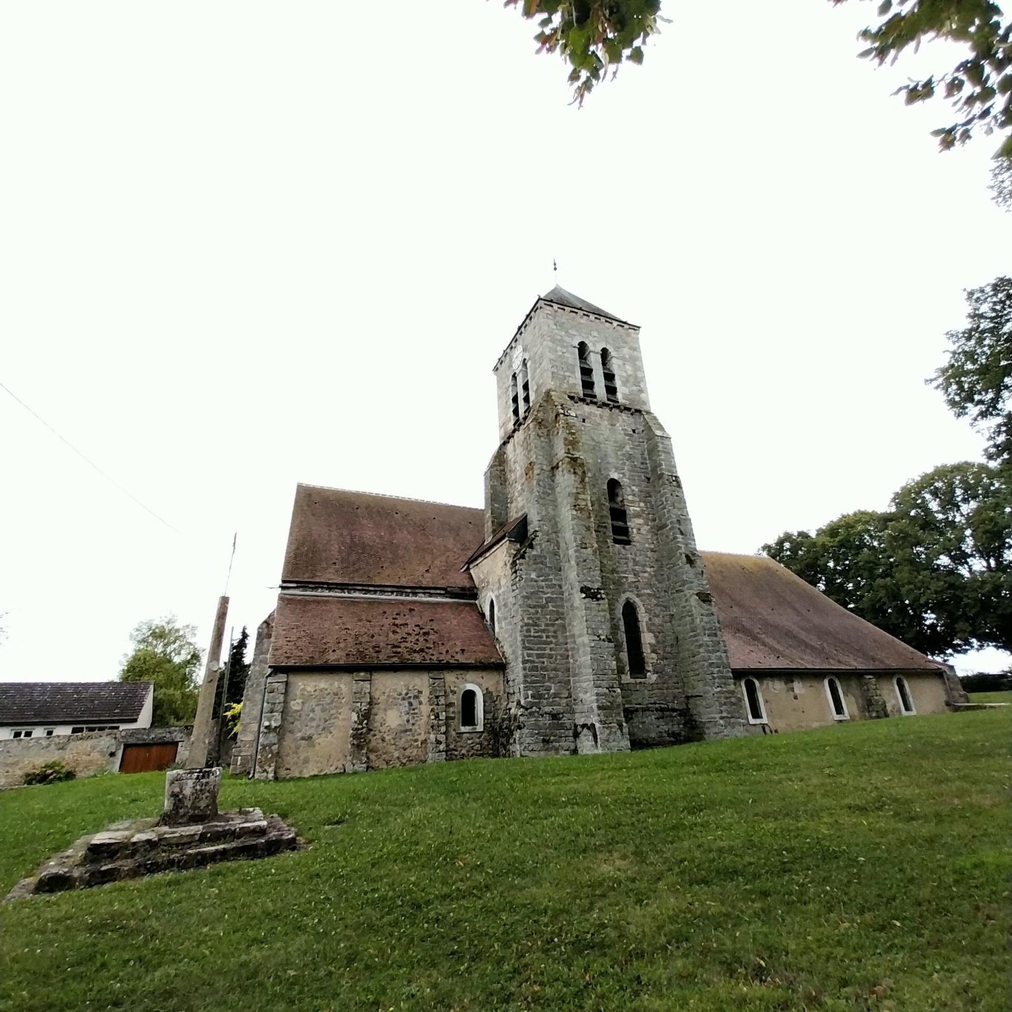

Tips from the Community

Crossed by the Orvanne. Picturesque bridges and wash houses.
0
0
Lookout post first built in the 12th century to defend the entrance to Gâtinais.
0
0


Flagy is an old fortified place. The village was built in the 12th century by order of Louis VII in 1130. On the edge of a royal domain, it is built according to a rectangular plan, as shown by the seven parallel streets leading to the river crossed by seven bridges or gateways. The course of the Orvanne has been diverted and developed to supply the village with water. The mill, built in the 13th century, still exists and is a good representation of the traditional regional architecture of the time. Besides the river, seven wells, one in each of the parallel streets, provided drinking water. There are still several of them, which were used until 1960. On Heritage Day, you can visit two underground entrances. A network of underground passages connected the food cellars which also served as refuges during invasions of the village by enemies. One can see in one of the underground passages some remains of ancient objects. A curiosity on the roof of the church, the weather vane has two symbols: a rooster, the usual symbol, and a pig's head, another symbol, a lasting memory of a local legend, transmitted orally. During the Hundred Years War, the terrible Black Death reached many villages in Île-de-France. Affected by the epidemic, the inhabitants of a neighboring village came to seek help in Flagy, where there was a hospital (Hôtel-Dieu). But the Flagiens energetically refused entry into the village to the sick. The poor people had to look elsewhere for a better welcome. It is said that the bishop, outraged by this attitude of refusal, this lack of compassion, inflicted a punishment on the Flagians. Since then a weather vane in the shape of a pig's head has been turning according to the winds on the roof of the church. Recently rediscovered in the "Favorite Village of the French" 2023, Flagy may not have won the crown, but remains a nice heritage to discover.
0
0

Fort dating from the 11th and 12th century, mainly consisting of an enclosure (originally 6 m high and 1.3 m wide) surmounted by towers at the corners. It was remodeled in the 15th century, during the Hundred Years War, then confiscated during the French Revolution, before being returned to its original owners in 1937.
0
0


The first Château de Challeau was a fortified building built in the 11th century to the 12th century with a curtain wall 6m high and 1.3m thick which encloses an area of approximately 30m by 24m. Small in size, its particularity is due to the rounded shape at the base of the watchtowers. It is one of the rare fortifications built on the orders of Philippe 1er which still remains in a correct state today. The site can be visited during Heritage Days.
0
0
Frequently Asked Questions
What kind of landscapes can I expect to see while hiking around Thoury-Férottes?
The region around Thoury-Férottes offers a diverse mix of landscapes. You'll find pleasant rural settings within the Gâtinais, with trails traversing woods, agricultural lands, and valleys. The area is also characterized by its proximity to the renowned Fontainebleau forest, providing varied terrains from riverside paths along the Orvanne and Seine rivers to forested trails and unique rock formations.
Are there many hiking options for different skill levels?
Yes, Thoury-Férottes provides a wide range of hiking options suitable for various abilities. Out of 73 available routes, 30 are classified as easy, 40 as moderate, and 3 as difficult. This ensures that both casual walkers and more experienced hikers can find a suitable trail.
What are some easy hiking trails suitable for a relaxed outing?
For an easy and enjoyable walk, consider the Diant Castle loop from Voulx, which is about 3.8 miles (6.2 km) and takes approximately 1 hour 38 minutes. Another great easy option is the La Croix de Saint-Pierre – Flagy, a village of character loop from Flagy, covering 5.2 km.
Are there any circular walks available in the area?
Yes, many of the trails around Thoury-Férottes are designed as circular routes, allowing you to start and end at the same point. Examples include the Diant Castle loop from Voulx and the La Croix de Saint-Pierre – Flagy, a village of character loop from Thoury-Férottes.
What natural features or landmarks can I discover on the trails?
Hikers can explore several interesting natural features and landmarks. You might encounter the curious Pierre Cornoise menhir, a natural rock formation, or the La Roche du Sault. The region also offers picturesque walks along the Orvanne river, the scenic Seine River with its breathtaking views, and the Loing Canal. Additionally, you can find wash houses in nearby villages like Voulx and Diant.
What do other hikers say about the trails in Thoury-Férottes?
The hiking trails in Thoury-Férottes are highly regarded by the komoot community, holding an average rating of 4.05 stars from over 30 reviews. Hikers often praise the varied terrain, which includes forests, agricultural lands, and river views, contributing to a rich and engaging outdoor experience.
Are there any historical sites or villages to explore along the routes?
Absolutely. The region is dotted with charming villages and historical points of interest. For instance, the La Croix de Saint-Pierre – Flagy, a village of character loop from Thoury-Férottes leads through Flagy, known for its distinctive character. You can also find wash houses in Voulx and Diant, and explore sites like the Church and Castle of Paley or Challeau Fort.
What is the best time of year to go hiking in Thoury-Férottes?
Thoury-Férottes offers pleasant hiking conditions throughout much of the year due to its temperate climate. Spring and autumn are particularly popular for their mild temperatures and beautiful foliage. Summer provides warm weather for longer days on the trails, while winter can offer a unique, tranquil experience, especially in the forested areas, though some paths might be muddy.
Are there any longer, more challenging hikes available?
For those seeking a longer and more challenging experience, the Flagy, a village of character – Le moulin de la Vallée loop from Ville-Saint-Jacques is a moderate 11.0-mile (17.8 km) trail. This route takes you through varied landscapes and past the Moulin de la Vallée, typically completed in about 4 hours 44 minutes.
Can I find trails that offer scenic viewpoints?
Yes, the region's sufficiently hilly sections provide excellent perspectives. You can enjoy views across the Yonne and Seine-et-Marne departments. Notably, the area boasts a breathtaking view of the Seine, offering a picturesque reward for your efforts.
Is the Fontainebleau Forest accessible from Thoury-Férottes?
Thoury-Férottes is conveniently located near the Forest of Fontainebleau, a major draw for outdoor enthusiasts. This UNESCO World Biodiversity Reserve offers 22,000 hectares of preserved nature with varied landscapes including rocky chaos, viewpoints, ponds, and diverse forest types, providing extensive hiking opportunities. For more information, you can visit fontainebleau-tourisme.com.
Most popular routes around Thoury-Férottes
Most popular attractions around Thoury-Férottes

Get inspired with the komoot mobile app


Explore more
Browse the best Hikes in other regions.
