The best walks and hikes around Fréjeville
4.6
(87)
637
hikers
75
hikes
Hiking around Fréjeville offers routes through gentle landscapes characterized by natural reserves and pond areas. The terrain primarily features low elevation changes, making many trails accessible. Further afield, some routes introduce rolling hills and more varied topography. The region provides opportunities for exploring local flora and fauna within its natural settings.
Best hiking trails around Fréjeville
- The most popular hiking route is Base de Cambounet – Dicosa pond loop from Réserve naturelle de Cambounet-sur-le-Sor, a 4.3 miles (6.9 km)…
Last updated: June 24, 2026
4.5
(4)
52
hikers
4.99km
01:17
20m
20m
Easy hike. Great for any fitness level. Easily-accessible paths. Suitable for all skill levels.
4.9
(7)
41
hikers
8.81km
02:13
10m
10m
Moderate hike. Good fitness required. Easily-accessible paths. Suitable for all skill levels.

Sign up for free
4.4
(8)
51
hikers
Easy hike. Great for any fitness level. Easily-accessible paths. Suitable for all skill levels.
5.0
(4)
17
hikers
15.0km
04:11
290m
290m
Moderate hike. Good fitness required. Easily-accessible paths. Suitable for all skill levels.
4.7
(3)
17
hikers
9.64km
02:39
160m
160m
Moderate hike. Good fitness required. Easily-accessible paths. Suitable for all skill levels.
Get access to more routes and recommendations from other explorers.
Sign up for free
Already have an account?
Our route recommendations are based on thousands of hikes, rides, and runs completed by other people on komoot.
Start today with a free account
Your next adventure awaits.
Login or Signup

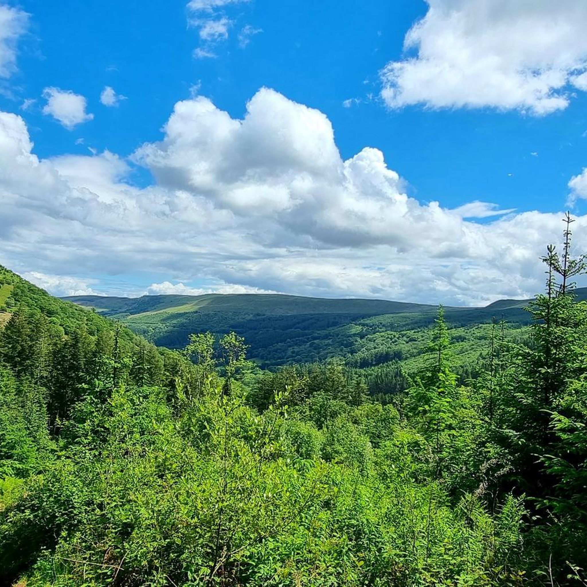



Tips from the Community

Leisure center, with sanitary facilities and water point. interesting starting point to leave your vehicle and join the black mountain via Soual or the Green Lane towards Albi
1
0
Frequently Asked Questions
How many hiking trails are available around Fréjeville?
There are over 80 hiking trails around Fréjeville, offering a wide range of options for different skill levels and preferences.
Are there easy hiking trails suitable for beginners in Fréjeville?
Yes, Fréjeville offers many easy trails. Approximately 38 routes are classified as easy, perfect for beginners or those looking for a relaxed walk. An example is the Dicosa pond loop from Réserve naturelle de Cambounet-sur-le-Sor, which is about 3.1 miles (5 km) long.
What kind of terrain can I expect on hikes around Fréjeville?
The terrain around Fréjeville is generally characterized by gentle landscapes, natural reserves, and pond areas with low elevation changes. Some routes further afield introduce rolling hills and more varied topography, but many trails are quite accessible.
Are there any family-friendly walks in the Fréjeville area?
Many of the trails around Fréjeville are suitable for families due to their gentle nature and low elevation. The Base de Cambounet – Dicosa pond loop from Réserve naturelle de Cambounet-sur-le-Sor is an easy 4.3-mile (6.9 km) route that circles the Dicosa pond and passes through a natural reserve, making it a great option for families.
Are there circular hiking routes available near Fréjeville?
Yes, circular routes are a popular option. For instance, the Dicosa pond loop from Cambounet-sur-le-Sor is a moderate 5.5-mile (8.8 km) path that offers views of the pond and surrounding natural areas. Another option is the longer Hiking loop from Vielmur-sur-Agoût, which is 9.3 miles (15 km) and takes about 4 hours 11 minutes.
What is the typical duration for hikes around Fréjeville?
Hike durations vary depending on the trail's length and difficulty. Easy routes like the 3.1-mile (5 km) Dicosa pond loop from Réserve naturelle de Cambounet-sur-le-Sor can take around 1 hour 15 minutes. Longer, moderate trails such as the 9.3-mile (15 km) Hiking loop from Vielmur-sur-Agoût might take over 4 hours.
What do other hikers enjoy most about hiking in Fréjeville?
The area is highly rated by the komoot community, with an average score of 4.7 stars from over 80 reviews. Hikers often praise the tranquil natural reserves, the scenic pond-side paths, and the accessibility of many routes for various ability levels.
Are there any interesting landmarks or places to explore near the hiking trails?
Yes, there are several interesting places nearby. You could explore the town of Castres, known for its picturesque houses along the Agout river. The charming village of Lautrec, with its medieval character, is also worth a visit, offering scenic views like the View of Lautrec.
What is the best season for hiking in Fréjeville?
Fréjeville's gentle landscapes and natural settings make it enjoyable for hiking throughout much of the year. Spring and autumn offer pleasant temperatures and beautiful scenery, with blooming flora or vibrant fall colors. Summer is also suitable, especially for walks around the ponds, though it can be warmer.
Are there any moderate difficulty hikes for those looking for more of a challenge?
Yes, there are 39 moderate trails available. For example, the Dreulhe loop from Sémalens is a moderate 6-mile (9.6 km) route with some elevation gain, offering a more engaging experience than the easier pond loops.
Most popular routes around Fréjeville
Most popular attractions around Fréjeville

Get inspired with the komoot mobile app


Explore more
Browse the best Hikes in other regions.
