The best walks and hikes around Saint-Avit
4.5
(349)
1,912
hikers
71
hikes
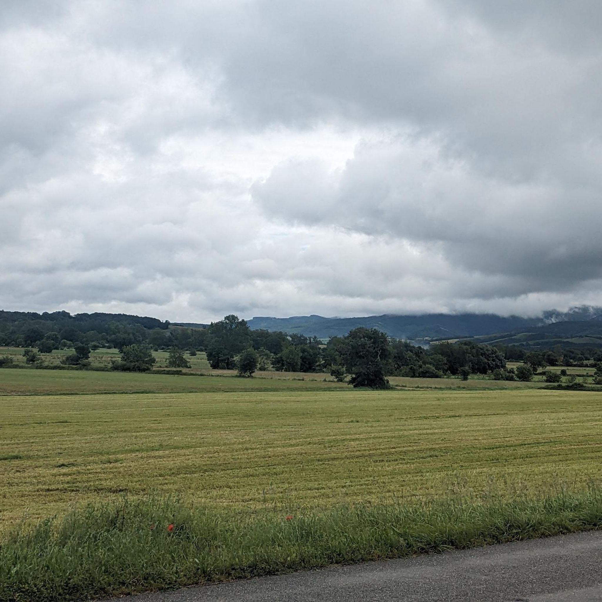
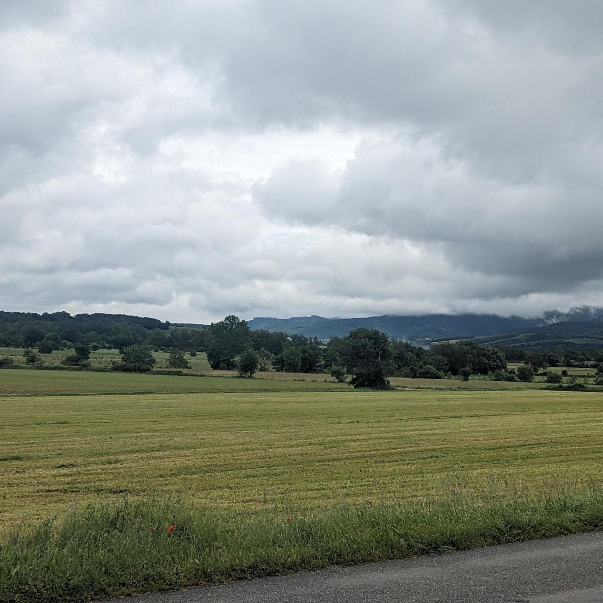
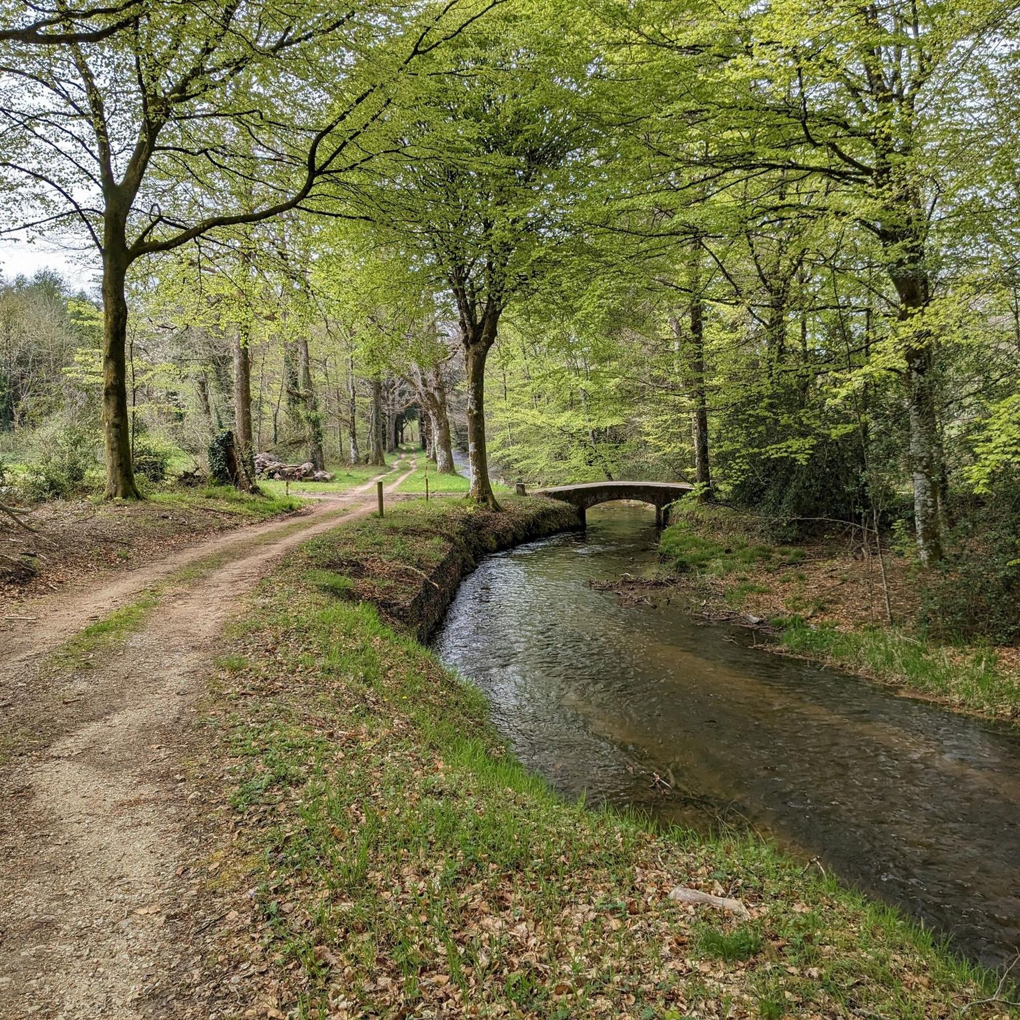
Hiking around Saint-Avit offers exploration through unspoiled countryside, characterized by gentle rolling hills and dense woods. The region features a landscape of honey-colored rock with rich red clay soils, providing a tranquil setting for outdoor activities. Trails often weave through medieval villages, undergrowth, and chestnut groves. River valleys, such as the Dordogne, also contribute to the scenic variety, with some routes offering views of cliffs.
Best hiking trails around Saint-Avit
- The most popular hiking route is The Four Saints Trail…
Last updated: October 12, 2026
4.7
(30)
130
hikers
14.7km
04:26
480m
480m
Moderate hike. Good fitness required. Easily-accessible paths. Suitable for all skill levels.
4.9
(7)
40
hikers
6.07km
01:59
270m
270m
Easy hike. Great for any fitness level. Easily-accessible paths. Suitable for all skill levels.

4.7
(6)
20
hikers
20.1km
06:12
720m
720m
Hard hike. Very good fitness required. Easily-accessible paths. Suitable for all skill levels.
4.8
(4)
24
hikers
15.9km
04:38
410m
410m
Moderate hike. Good fitness required. Easily-accessible paths. Suitable for all skill levels.
4.5
(6)
19
hikers
10.7km
03:03
240m
240m
Moderate hike. Good fitness required. Easily-accessible paths. Suitable for all skill levels.
Get access to more routes and recommendations from other explorers.
Already have an account?
Our route recommendations are based on thousands of hikes, rides, and runs completed by other people on komoot.
Start today with a free account
Your next adventure awaits.


Tips from the Community

Very beautiful viewpoint. The climb up the stairs is really very steep. Depending on your level, it's best to climb up the other side.
0
0

magnificent view of the plain.
0
0

Beautiful 2 km climb starting from Dourgne, the view must be beautiful 😊, I was there on a foggy day 🌫️ so I don't know
1
0


Magnificent landscapes, great diversity of terrain, very technical, requires a lot of cardio. Be careful, a large segment of several hundred meters (700 m) requires carrying the bike or even pushing it. When the ground is muddy it's a big hassle.
0
0

a great trick, very good for working out the muscles.
0
0

Magnificent site with the presence of a pretty chapel (quite modern: 1950) and a waterfall/spring once famous for curing ailments.
0
0
Magnificent little isolated chapel on the plateau of Saint-Ferréol. This chapel is relatively recent but the presence of a chapel on this plateau dates back to the Middle Ages.
1
1
Frequently Asked Questions
How many hiking trails are available in Saint-Avit?
Saint-Avit offers a wide selection of hiking opportunities, with over 70 trails to explore. These routes cater to various preferences, from easy strolls to more challenging treks through the region's diverse landscapes.
What kind of terrain can I expect on hikes around Saint-Avit?
The terrain around Saint-Avit is characterized by unspoiled countryside, gentle rolling hills, and dense woods, often composed of oaks and chestnut trees. You'll also find trails weaving through medieval villages, undergrowth, and along river valleys like the Dordogne, which can feature views of cliffs and chasms. The region is known for its 'honey-colored rock with rich red clay soils'.
Are there hiking trails for all skill levels in Saint-Avit?
Yes, Saint-Avit provides a range of trails suitable for different abilities. There are 19 easy routes perfect for a relaxed walk, 38 moderate trails for those seeking a bit more challenge, and 14 difficult routes for experienced hikers looking for a strenuous adventure.
Are there any circular hiking routes in Saint-Avit?
Many trails in Saint-Avit are designed as loops, offering a convenient way to explore the area. For example, the Tree of life loop from Dourgne is an easy 3.8-mile option, while the more challenging La Capelette Chapel – Cascade loop from Dourgne covers nearly 12.2 miles through varied landscapes.
What historical sites or natural landmarks can I explore while hiking?
The Saint-Avit region is rich in history and natural beauty. You can encounter medieval villages, ancient abbeys like Cadouin Abbey, and traditional bastide towns. On some trails, you might come across natural features such as the Mougnès Waterfall or enjoy panoramic views from spots like the Statue of Saint Stapin and Viewpoint. The area is also close to significant geological formations like the Gouffre de Proumeyssac.
Are there any hikes that feature waterfalls or scenic viewpoints?
Yes, several routes offer picturesque natural features. The Cascade loop from Dourgne is a moderate 6.6-mile hike that includes a waterfall. For scenic viewpoints, trails often lead to elevated spots providing expansive vistas of the rolling hills and river valleys, such as the Panoramic view highlight.
Can I bring my dog on the hiking trails in Saint-Avit?
Many trails in the Saint-Avit region are dog-friendly, allowing you to enjoy the natural surroundings with your canine companion. It's always recommended to keep dogs on a leash, especially in areas with wildlife or near livestock, and to check local regulations for specific routes or protected areas.
Are there family-friendly hiking options in Saint-Avit?
Absolutely. The region offers numerous easy and moderate trails suitable for families. These routes often pass through shaded woodlands and gentle terrain, providing an enjoyable experience for all ages. The shorter, easy loops are particularly good for families with young children.
What is the best time of year to go hiking in Saint-Avit?
Saint-Avit is beautiful throughout much of the year. Spring and autumn offer pleasant temperatures and vibrant scenery, with lush greenery in spring and rich colors in autumn. Summer provides warm weather, ideal for shaded forest paths, while winter can offer crisp, quiet walks, though some services might be reduced.
What do other hikers say about the trails in Saint-Avit?
The hiking trails in Saint-Avit are highly regarded by the komoot community, with an average score of 4.6 stars from over 280 reviews. Hikers often praise the tranquil setting, the variety of landscapes from dense woods to river valleys, and the well-maintained paths that make for an enjoyable outdoor experience.
Where can I find parking for hiking trails in Saint-Avit?
Many popular trailheads and villages in the Saint-Avit area offer designated parking facilities. When planning your hike, it's advisable to check the starting point of your chosen route on komoot, as specific parking information is often provided there. Villages like Saint-Avit-Sénieur and Dourgne typically have public parking available.
Are there options for longer, more challenging hikes?
Yes, for those seeking a greater challenge, Saint-Avit has several longer and more difficult routes. The The Four Saints Trail, for instance, is a moderate 9.1-mile route with significant elevation changes, taking over 4 hours to complete. There are also 14 routes classified as difficult, offering substantial distances and elevation gains.
Most popular routes around Saint-Avit
Most popular attractions around Saint-Avit

Get inspired with the komoot mobile app


Explore more
Browse the best Hikes in other regions.
