The best running trails around Girgols
4.5
(84)
2,601
runners
106
runs
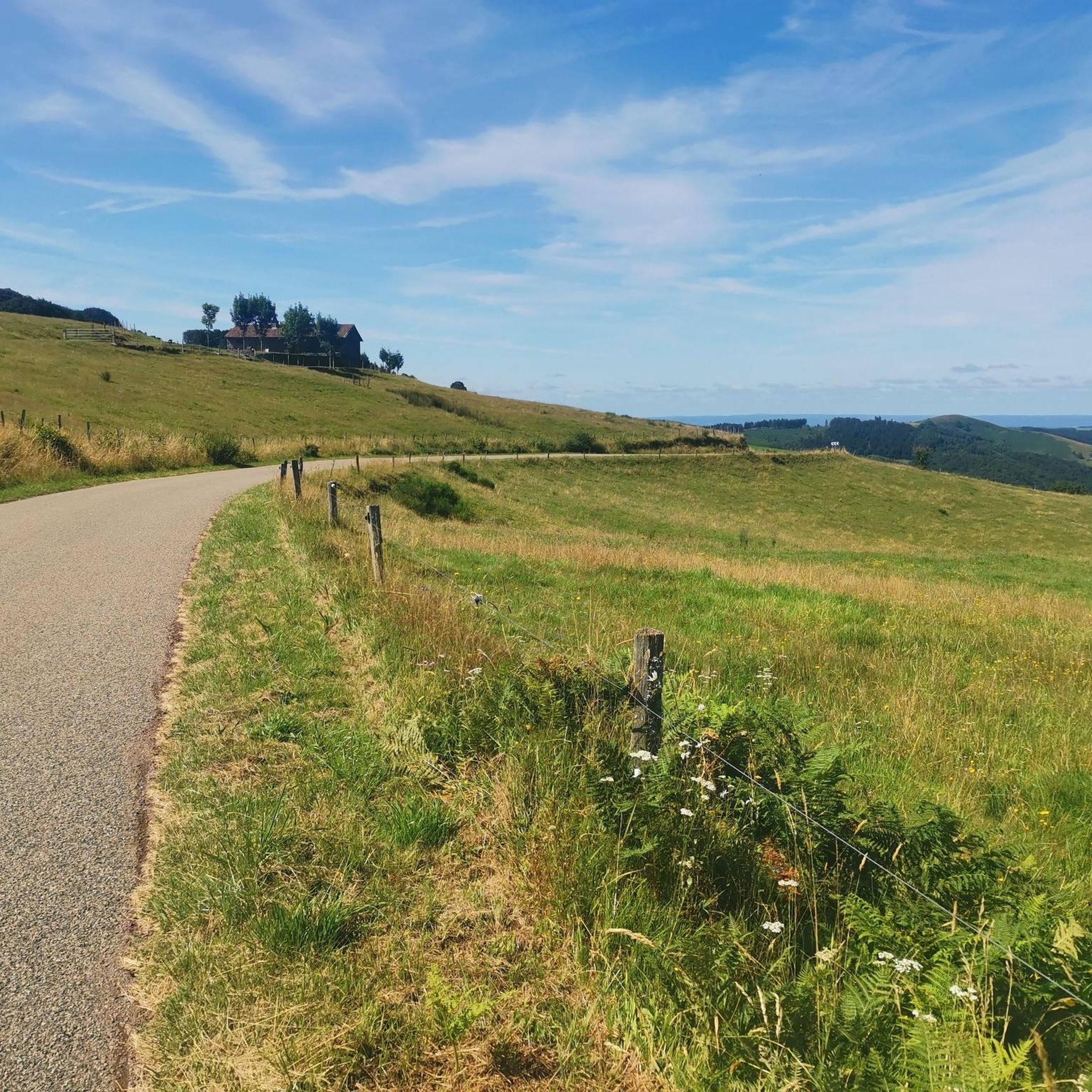
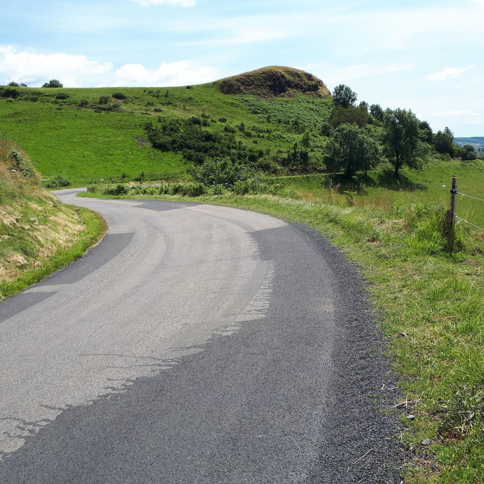
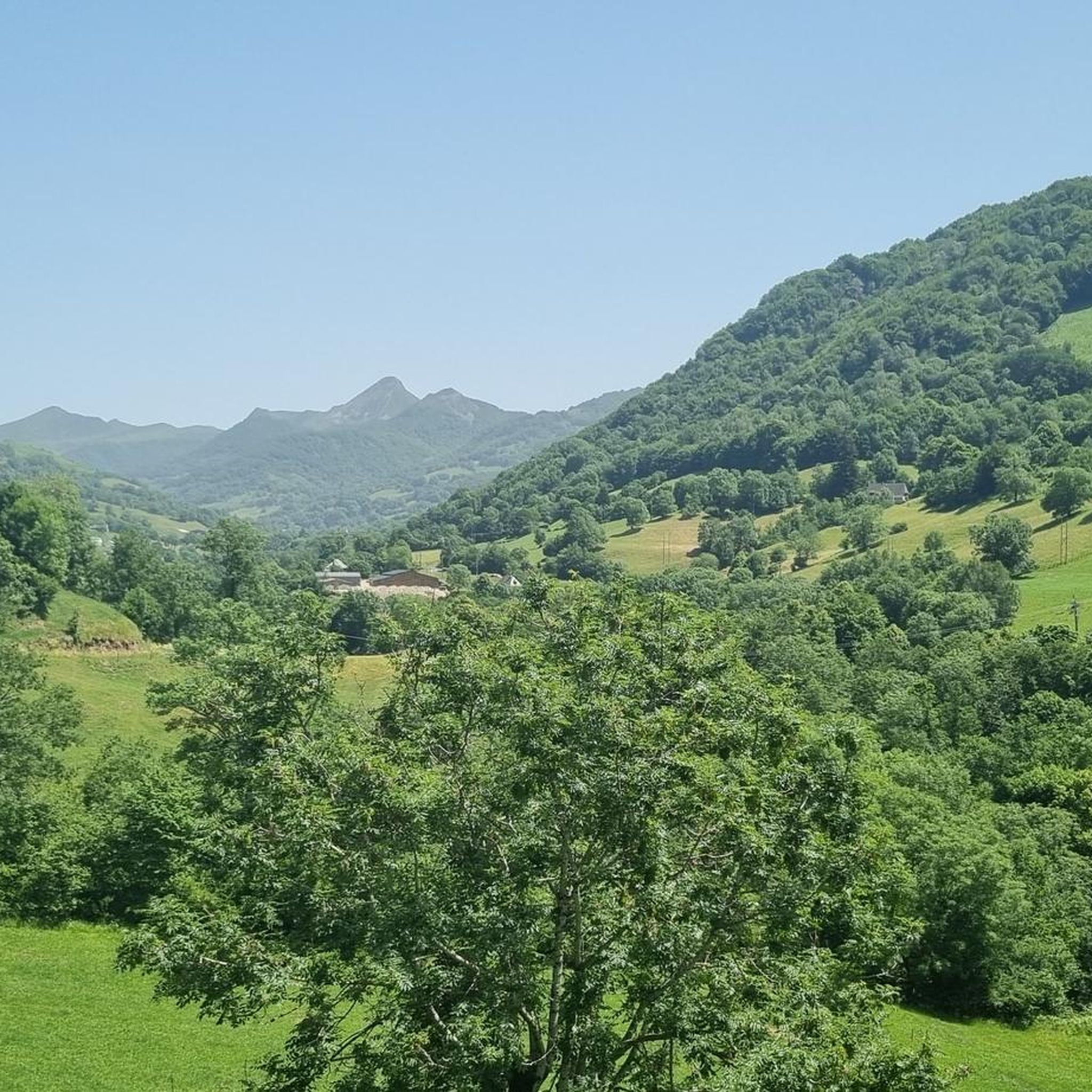
Jogging routes around Girgols traverse a diverse landscape in the Cantal department of south-central France. The region features woodlands, expansive meadows, and mountain pastures, with streams and rivers like the Doire contributing to the natural scenery. Elevations range from 786 to 1,228 meters, providing varied inclines and declines for running. This agricultural setting offers an extensive network of footpaths and trails suitable for different running experiences.
Best jogging routes around Girgols
- The most popular jogging route is Col de Légal…
Last updated: June 29, 2026
21
runners
16.6km
02:25
690m
690m
Hard run. Very good fitness required. Mostly accessible paths. Some sure footedness required.
24
runners
17.8km
02:07
470m
470m
Hard run. Very good fitness required. Mostly paved surfaces. Suitable for all skill levels.

Sign up for free
15
runners
11.6km
01:26
300m
300m
Hard run. Very good fitness required. Mostly paved surfaces. Suitable for all skill levels.
5
runners
9.10km
01:23
530m
530m
Hard run. Very good fitness required. Mostly paved surfaces. Suitable for all skill levels.
5.0
(4)
5
runners
8.43km
00:57
170m
180m
Moderate run. Good fitness required. Mostly paved surfaces. Suitable for all skill levels.
Get access to more routes and recommendations from other explorers.
Sign up for free
Already have an account?
Our route recommendations are based on thousands of hikes, rides, and runs completed by other people on komoot.
Start today with a free account
Your next adventure awaits.
Login or Signup
Tips from the Community

A magnificent site where the panoramas are breathtaking!!!
0
0

nice climb and good visibility over the valley
0
0

The cairn was originally nicknamed the nickname bonhomme due to its shape seen from afar. But since the man it is well deformed
0
0

The Redondet pass, between the Jordanne and Mars valleys (Falgoux circus), offers magnificent views of the latter.
0
0
Unlike the Burons, which also served as a living space for cowherds and cheese dairies, the Béledat du Cassaïre (at an altitude of 1600m on the GR400) was only used to shelter sick animals and the herd during bad weather. A buron located a few dozen meters away therefore fulfilled its function for the cowherd. Part of the pastoral heritage and dating from the 18th century, it has recently been restored.
0
0
The Cabrespine refuge is a buron on the ridge between Puy Chavaroche and Col de Légal.
0
0
The Puy Chavaroche, which rises to 1736m above sea level, offers a magnificent view of the Cantal mountains along the GR400.
0
0

The refuge is open and offers shelter to several hikers if necessary. Another hut next door no longer has a roof. The location of the refuge is great. Unfortunately, some visitors were too lazy to walk 30 or 40 m from the hut to do their business. If too many don't do that, there's toilet paper lying around everywhere. Not in the overnight hut and in the small courtyard, but otherwise.
0
0
Frequently Asked Questions
How many running routes are available in Girgols?
There are over 100 running routes around Girgols, offering a wide variety of experiences for joggers. These routes are highly rated by the komoot community, with an average score of 4.5 stars.
What kind of terrain can I expect on the running trails in Girgols?
Jogging routes in Girgols traverse a diverse landscape, including woodlands, expansive meadows, and mountain pastures. You'll find varied inclines and declines, with elevations ranging from 786 to 1,228 meters, providing a challenging and diverse running experience. Rivers like the Doire also add to the scenic charm.
Are there running routes suitable for beginners or those looking for an easy jog?
Yes, Girgols offers routes for all ability levels. While many are challenging, there are 5 easy routes and 53 moderate routes available, perfect for beginners or those seeking a less strenuous run. These paths often wind through meadows and woods.
What are some of the natural features or landmarks I can see along the running routes?
The region is rich in natural beauty. You can expect to see picturesque scenery with streams and rivers, and panoramic views of the Cantal mountains, especially from higher elevations like the Col de Légal. Nearby attractions include the stunning Pas de Cère Gorges and various summits like Puy Chavaroche.
Are there any challenging running trails for experienced runners?
Absolutely. Girgols is well-suited for challenging runs and trail running, with 49 difficult routes. For instance, the Col de Légal to Puy Chavaroche Trail is a difficult 10.3-mile (16.6 km) route with significant elevation gain and stunning mountain views. Another option is the Roc d'Hozières et Roc des Ombres – trail loop, offering challenging terrain through the regional natural park.
Can I find circular running routes in Girgols?
Yes, many of the running routes in Girgols are circular, allowing you to start and end at the same point. An example is the Lake des Graves loop from Lascelle, a 5.3-mile (8.5 km) trail that takes about an hour to complete.
What do other runners enjoy most about jogging in Girgols?
The area is highly rated by the komoot community, with an average score of 4.5 stars from over 60 reviews. Runners often praise the extensive network of footpaths, the varied terrain including quiet woodlands and expansive meadows, and the stunning panoramic views of the Cantal mountains.
Are the running trails in Girgols suitable for families?
While the region offers varied terrain, including challenging routes, there are 5 easy and 53 moderate routes that could be suitable for families looking for a more relaxed jog or walk. It's advisable to check the difficulty and length of specific routes to ensure they match your family's fitness level.
Are dogs allowed on the running trails in Girgols?
Generally, dogs are welcome on many hiking and running trails in France, especially in rural areas like Girgols. However, it's always recommended to keep them on a leash, especially in agricultural areas or near livestock, and to check specific trail regulations if posted. The extensive network of footpaths provides ample space for you and your canine companion.
Are there any longer running routes for endurance training?
For those seeking longer runs, Girgols offers several options. The Jordanne gorges – Lake des Graves loop from Lascelle is a difficult 17.5 km (10.9 miles) route, and the Montagne d'Entre-Deux Rieux loop from Marmanhac is another difficult option at 17.7 km (11 miles).
What is the best time of year to go running in Girgols?
Girgols offers a beautiful running experience throughout much of the year. Spring and autumn provide pleasant temperatures and vibrant scenery. Summer is also popular, though higher elevations can offer cooler air. Winter running is possible, but some trails might be affected by snow or ice, especially at higher altitudes.
Are there viewpoints along the running trails in Girgols?
Yes, many routes offer spectacular viewpoints. The region's elevation changes mean you'll often be rewarded with panoramic views of the Cantal mountains and the surrounding agricultural landscapes. The nearby Col de Légal, for instance, is known for its stunning vistas.
Most popular attractions around Girgols

Get inspired with the komoot mobile app


Explore more
Browse the best Running Trails & Routes in other regions.
