The best walks and hikes around Coisia
4.2
(500)
2,655
hikers
113
hikes
Hiking around Coisia offers a diverse landscape characterized by rolling hills, forested areas, and river valleys. The region features trails that lead to scenic viewpoints, past natural water features like waterfalls and potholes, and alongside reservoirs. Elevation changes are moderate, providing varied terrain for hikers.
Best hiking trails around Coisia
- The most popular hiking route is Pic d'Oliferne Viewpoints Loop, a 4.6 miles (7.4 km) trail that takes 2 hours 15 minutes to complete. This route offers panoramic views…
Last updated: October 14, 2026
4.6
(45)
185
hikers
7.36km
02:16
190m
190m
Hike the moderate 4.6-mile Pic d'Oliferne loop from Boutavant for panoramic views of the Ain valley and the historic Oliferne Castle ruins.
4.3
(13)
121
hikers
9.89km
02:42
150m
150m
Moderate hike. Good fitness required. Easily-accessible paths. Suitable for all skill levels.

4.5
(13)
68
hikers
14.5km
04:12
360m
360m
Moderate hike. Good fitness required. Easily-accessible paths. Suitable for all skill levels.
4.9
(9)
34
hikers
7.56km
02:23
300m
300m
Moderate hike. Good fitness required. Easily-accessible paths. Suitable for all skill levels.
4.6
(9)
26
hikers
6.30km
02:00
260m
260m
Easy hike. Great for any fitness level. Easily-accessible paths. Suitable for all skill levels.
Get access to more routes and recommendations from other explorers.
Already have an account?
Our route recommendations are based on thousands of hikes, rides, and runs completed by other people on komoot.
Start today with a free account
Your next adventure awaits.

Tips from the Community


There are a few shops right next to the bridge over the Ain and also in the town itself.
0
0

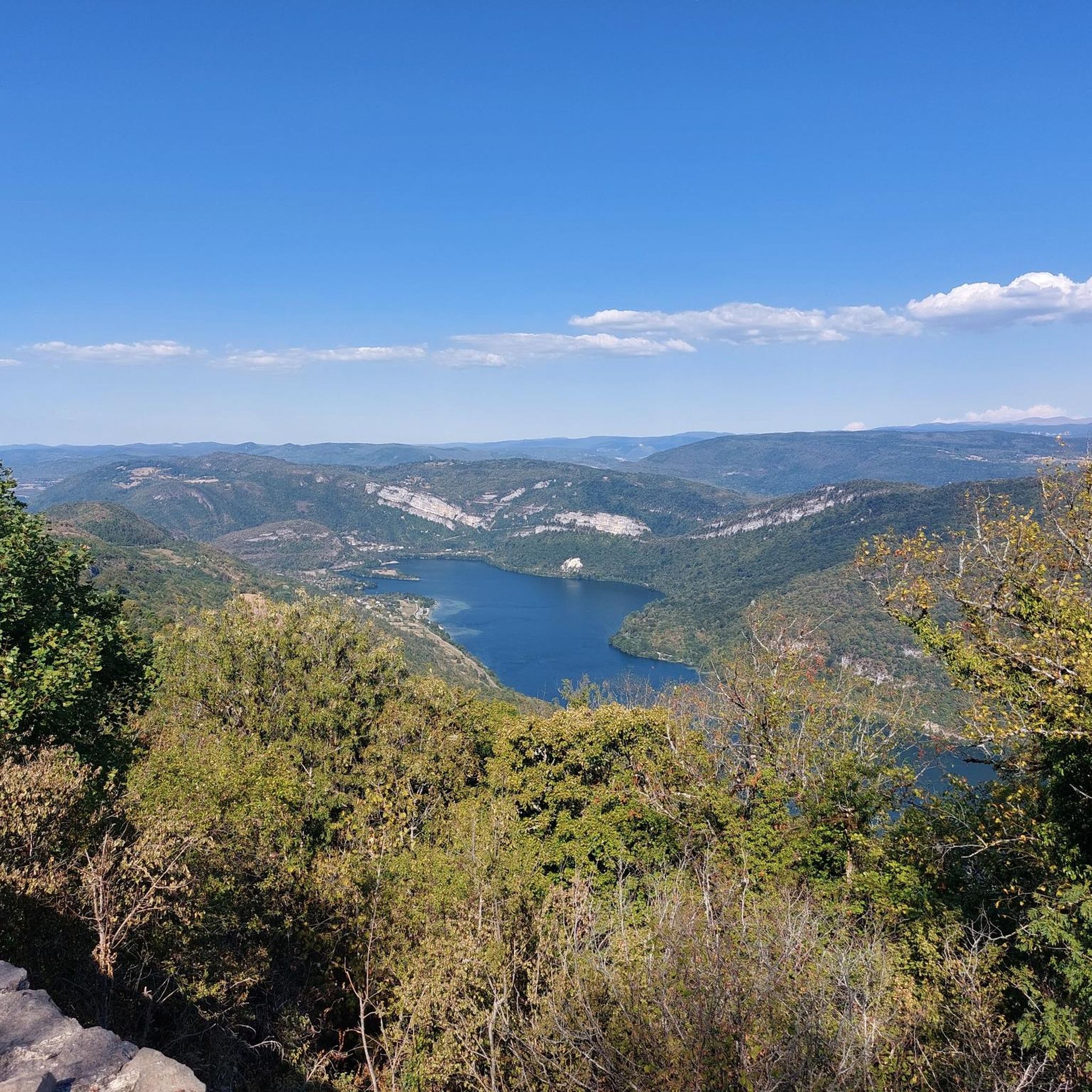
At 807m above sea level, this peak offers breathtaking views of lakes and tree-covered mountains.
2
0

A café in the small village of Thierette. It is a very beautiful place next to the Ain river. It's just over the river and a nice place to take a break.
2
0


Points of view on the gouilles formed by the Oignin
1
0
Frequently Asked Questions
How many hiking trails are available around Coisia?
Coisia offers a wide variety of hiking experiences, with over 110 trails documented on komoot. These routes cater to different preferences, ranging from easy strolls to more challenging excursions.
What types of landscapes can I expect to see while hiking in Coisia?
Hiking around Coisia features diverse landscapes including rolling hills, dense forested areas, and picturesque river valleys. You'll encounter scenic viewpoints, natural water features like waterfalls and potholes, and paths alongside reservoirs. The terrain offers varied elevation changes, providing an engaging experience for hikers.
Are there any easy hiking trails suitable for beginners or families in Coisia?
Yes, Coisia has a good selection of easier trails. Out of the over 110 routes, 39 are classified as easy, making them suitable for beginners or families looking for a relaxed outdoor experience. One example of an easy route is the View of Thoirette – Bois de Charrette loop from Thoirette-Coisia.
Can I find circular hiking routes in Coisia?
Yes, many of the trails in Coisia are designed as circular routes, allowing you to start and end at the same point. Popular options include the Pic d'Oliferne Viewpoints Loop and the Charmines-Moux Reservoir loop from Matafelon-Granges.
Are there any waterfalls to discover on the hiking trails?
Absolutely! The region is known for its natural water features. You can explore trails that lead past waterfalls, such as the Restaurant le Pont – Waterfalls and Potholes loop from Thoirette. Additionally, highlights like the Cascade de la Pisse Vache and Valouse Waterfall are popular points of interest.
What are some interesting landmarks or attractions to see near the hiking routes?
Beyond the natural beauty, Coisia's surroundings offer several historical and natural landmarks. You can visit the Oliferne Castle Ruins, explore the Grotte de Corveissiat, or enjoy the serene views Along Lake Coiselet. The Chancia Viewpoint also offers memorable panoramas.
What do other hikers say about the trails in Coisia?
The hiking routes in Coisia are highly regarded by the komoot community, holding an average rating of 4.4 out of 5 stars from over 390 reviews. Hikers often praise the varied terrain, scenic viewpoints, and well-maintained paths that define the region's outdoor experience.
Is Coisia a good destination for dog-friendly hikes?
While specific regulations for dogs on every trail can vary, many natural areas in France are generally dog-friendly, especially on leash. Given the extensive network of forested paths and open landscapes, Coisia offers many opportunities for walks with your dog. Always ensure your dog is under control and check local signage for any specific restrictions.
What is the best time of year to go hiking in Coisia?
The best time for hiking in Coisia is typically during spring, summer, and early autumn. These seasons offer pleasant temperatures, lush greenery, and full access to all trails. Spring brings blooming flora, while autumn showcases vibrant fall colors. Winter hiking is possible, but some trails might be challenging due to snow or ice, requiring appropriate gear.
Are there any trails that offer particularly good viewpoints?
Yes, Coisia is known for its scenic vistas. The Pic d'Oliferne Viewpoints Loop is specifically highlighted for its panoramic views. Additionally, the Chancia Viewpoint is a notable spot for breathtaking natural panoramas.
What are the typical difficulty levels of hikes in Coisia?
The trails around Coisia offer a range of difficulty levels. You'll find 39 easy routes, 62 moderate routes, and 12 more challenging difficult routes. This variety ensures that both casual walkers and experienced hikers can find suitable paths to explore.
Most popular attractions around Coisia

Get inspired with the komoot mobile app


Explore more
Browse the best Hikes in other regions.
