The best walks and hikes around Malaussène
4.5
(323)
2,556
hikers
101
hikes
Hiking around Malaussène offers access to the diverse landscapes of the Regional Natural Park of the Azur Prealps. The terrain is characterized by a mix of forested hills, rocky outcrops, and valleys, providing varied elevation changes. This region features numerous trails that traverse both open areas and more secluded woodland paths, suitable for different hiking preferences.
Best hiking trails around Malaussène
- The most popular hiking route is Revest-les-Roches to Mont Vial - loop in the Regional Natural Park of the…
Last updated: October 12, 2026
4.7
(11)
88
hikers
Moderate hike. Good fitness required. Mostly accessible paths. Sure-footedness required.
4.7
(13)
86
hikers
7.55km
02:46
490m
490m
Moderate hike. Good fitness required. Easily-accessible paths. Suitable for all skill levels.

4.8
(5)
53
hikers
11.5km
04:16
730m
740m
Moderate hike. Good fitness required. Easily-accessible paths. Suitable for all skill levels.
4.4
(5)
9
hikers
8.93km
03:03
460m
460m
Moderate hike. Good fitness required. Mostly accessible paths. Sure-footedness required.
5.0
(1)
7
hikers
17.4km
07:03
1,290m
1,290m
Hard hike. Very good fitness required. Mostly accessible paths. Sure-footedness required.
Get access to more routes and recommendations from other explorers.
Already have an account?
Our route recommendations are based on thousands of hikes, rides, and runs completed by other people on komoot.
Start today with a free account
Your next adventure awaits.
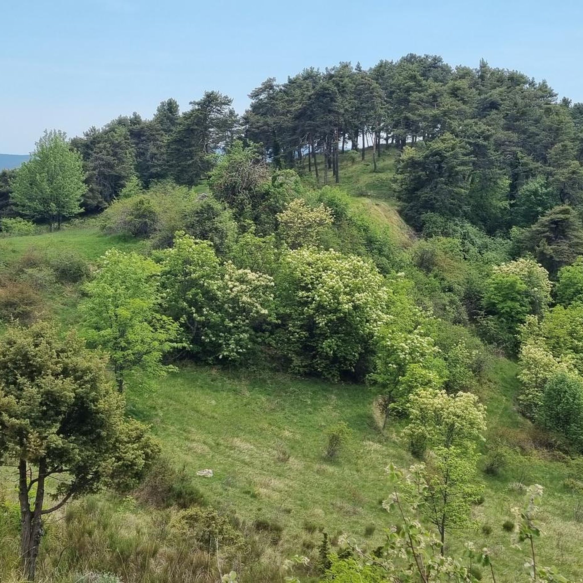
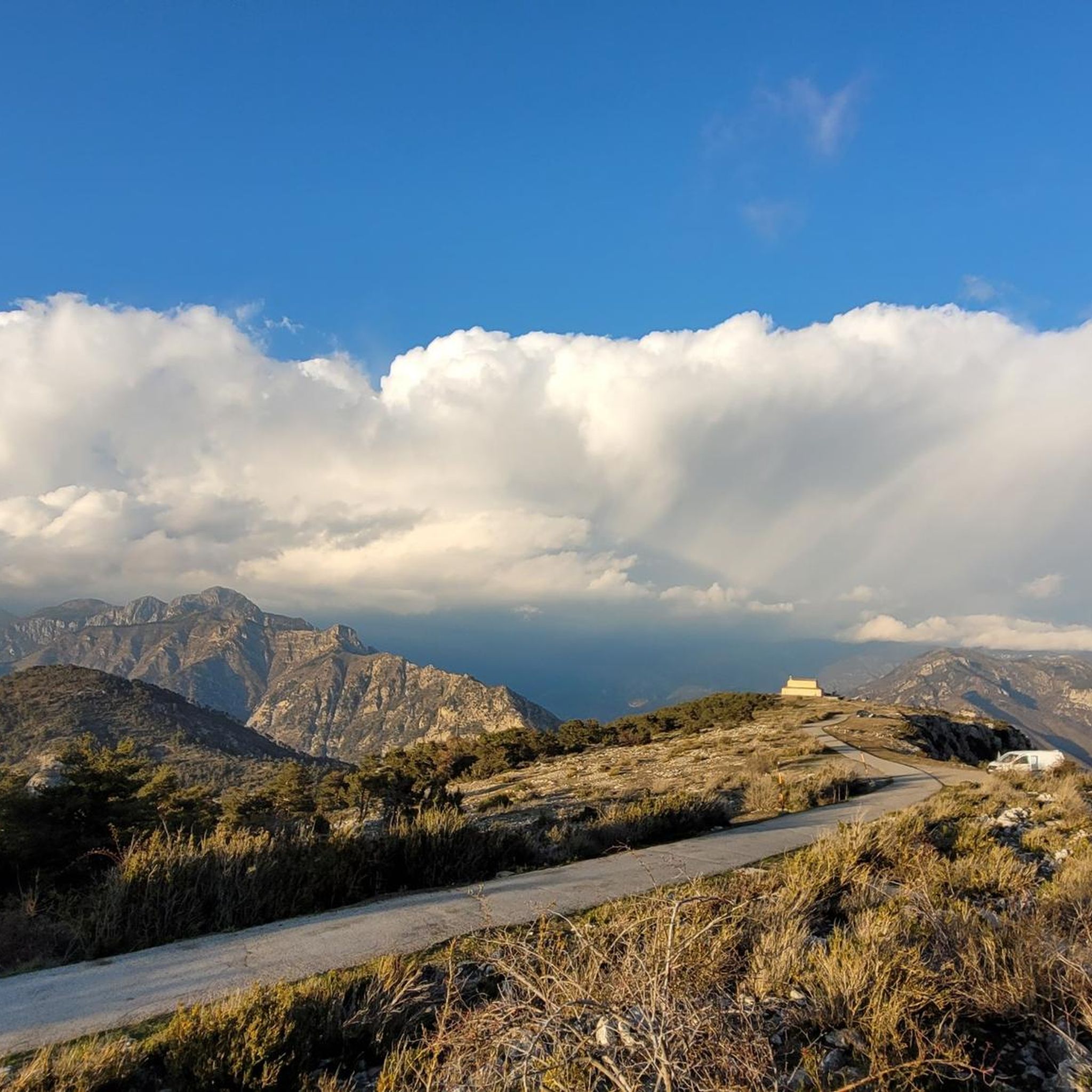
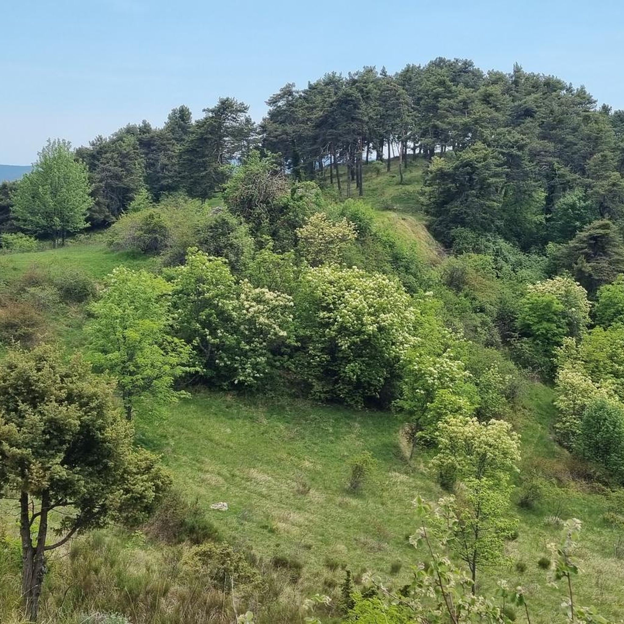
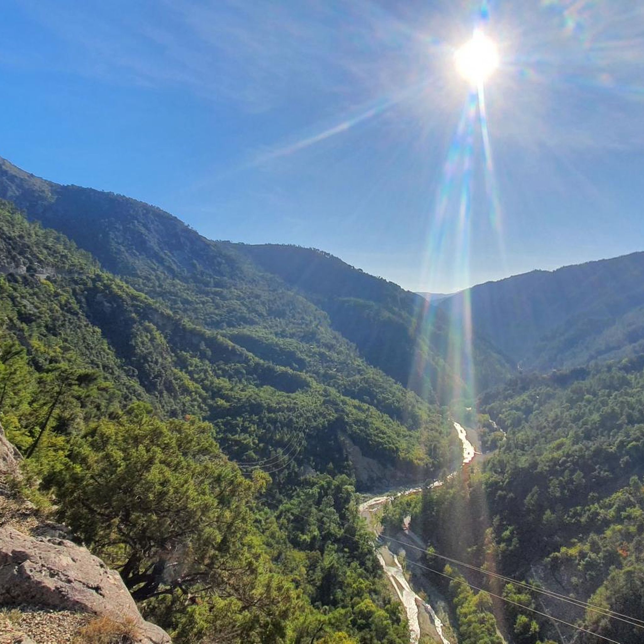

Tips from the Community


Very nice view of the Plaine du Var / Nice and 360° around.
0
0

Culminating at 1550 meters, Mont Vial is one of the few peaks that can be identified from the sea. From the top, enjoy the beautiful panoramic view of the neighboring peaks!
0
0


Although Mont Vial can seem ubiquitous, cyclists have to travel far into the backcountry to find the turning, which is tucked away somewhere between Toudon and Tourette-du-Chateau. Those who search will be rewarded, however, with a deserted, small, irregularly surfaced scrawl of switchbacks up the rocky mountain face. Perfection, in our eyes at least. Mont Vial is part of our Montagnes à la Carte series, head over to https://bit.ly/3eCNiEJ and claim your badge if you rode this classic.
3
0
Frequently Asked Questions
How many hiking trails are available around Malaussène?
There are over 100 hiking trails around Malaussène, offering a wide range of options for different skill levels and preferences. The region's diverse landscape provides varied elevation changes and scenic views.
Are there easy hikes suitable for beginners in Malaussène?
Yes, Malaussène offers 10 easy hiking routes perfect for beginners or those looking for a relaxed stroll. These trails typically feature gentler inclines and shorter distances, allowing you to enjoy the scenery without significant effort.
Can I find challenging hikes in the Malaussène area?
Absolutely, there are 38 difficult hiking routes for experienced hikers seeking a challenge. One such route is the Mont Vial – Crete du Vial loop from Malaussène - Massoins, which covers 10.8 miles (17.4 km) with significant elevation gain, offering rewarding views from Mont Vial.
Are there any circular hiking routes around Malaussène?
Many of the trails around Malaussène are circular, allowing you to start and end at the same point. For example, the Les Deux Rochers – Collettes Peak loop from Toudon is a moderate 4.7-mile (7.5 km) circular path featuring varied forest and open sections.
What kind of natural attractions or landmarks can I see along the trails?
The trails around Malaussène offer access to various natural and cultural landmarks. You can explore prominent peaks like Mont Vial and Férion Summit, which provide panoramic views. The region also features the dramatic Vésubie gorges and historic sites such as the Madonna of Utelle.
Is public transport available to reach hiking trailheads near Malaussène?
Public transport options to specific trailheads directly from Malaussène can be limited. It's often recommended to use a car to access many of the more remote starting points. However, some villages connected by regional bus services might offer closer access to certain routes.
Where can I park my car when hiking near Malaussène?
Parking is generally available in the villages that serve as starting points for hikes, such as Revest-les-Roches or Toudon. Look for designated parking areas near village centers or trailheads. Always ensure you park responsibly and do not obstruct local access.
What is the best time of year to hike in Malaussène?
The best time to hike in Malaussène is typically during spring (April to June) and autumn (September to October) when the weather is mild and pleasant. Summers can be hot, especially at lower elevations, while winters may bring snow to higher peaks, making some trails more challenging.
Are there any family-friendly hiking options in Malaussène?
Yes, Malaussène has routes suitable for families, particularly among its 10 easy trails. These routes are generally shorter and have less elevation gain, making them enjoyable for children. Always check the specific trail details for distance and difficulty to ensure it matches your family's capabilities.
What do other hikers enjoy most about hiking in Malaussène?
The area is highly rated by the komoot community, with an average score of 4.4 stars from over 280 reviews. Reviewers often praise the diverse landscapes, from forested hills to rocky outcrops, and the rewarding panoramic views from peaks like Mont Vial. The mix of natural beauty and cultural landmarks is also frequently highlighted.
Are dogs allowed on the hiking trails around Malaussène?
Dogs are generally permitted on most hiking trails in the Malaussène region, especially within the Regional Natural Park of the Azur Prealps. However, it's always advisable to keep them on a leash, especially in areas with livestock or wildlife, and to check for any specific local restrictions or protected areas where dogs might not be allowed.
Are there any cafes or places to eat near the hiking trails?
While many trails venture into natural areas, you can often find cafes and small restaurants in the nearby villages such as Malaussène itself, Revest-les-Roches, or Toudon. These can be good spots to refuel before or after your hike. It's always a good idea to pack snacks and water, especially for longer routes.
Most popular routes around Malaussène
Most popular attractions around Malaussène

Get inspired with the komoot mobile app


Explore more
Browse the best Hikes in other regions.
