The best road cycling routes around Massoins
4.6
(29)
1,492
riders
29
rides
Road cycling routes around Massoins are situated in the Alpes-Maritimes department of southeastern France, offering access to the Tinée and Vésubie Valleys. The region features challenging ascents and scenic routes through varied terrain, including deep gorges, alpine forests, and mountain passes. Road cyclists navigate well-maintained roads that wind through landscapes bordering the Mercantour National Park.
Best road cycling routes around Massoins
- The most popular road cycling route is Col de la Couillole – Ascent to Col de la Couillole loop…
Last updated: July 13, 2026
5.0
(1)
83
riders
87.7km
05:10
2,220m
2,220m
Hard road ride. Very good fitness required. Mostly well-paved surfaces and easy to ride.
98
riders
94.2km
04:50
1,560m
1,560m
Hard road ride. Very good fitness required. Mostly well-paved surfaces and easy to ride.

Sign up for free
46
riders
149km
09:04
4,040m
4,040m
Hard road ride. Very good fitness required. Mostly well-paved surfaces and easy to ride.
44
riders
84.9km
04:56
2,040m
2,040m
Hard road ride. Very good fitness required. Mostly well-paved surfaces and easy to ride.
11
riders
90.3km
06:46
2,820m
2,820m
Hard road ride. Very good fitness required. Some segments of this route may be unpaved and difficult to ride.
Get access to more routes and recommendations from other explorers.
Sign up for free
Already have an account?
Our route recommendations are based on thousands of hikes, rides, and runs completed by other people on komoot.
Start today with a free account
Your next adventure awaits.
Login or Signup
Tips from the Community

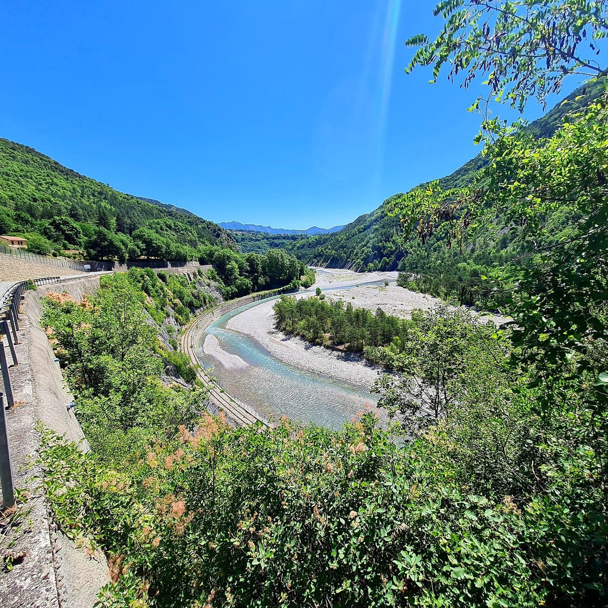
The Col de Sainte-Anne is a pass at an altitude of 425 meters in the French department of Bouches-du-Rhône.
0
1
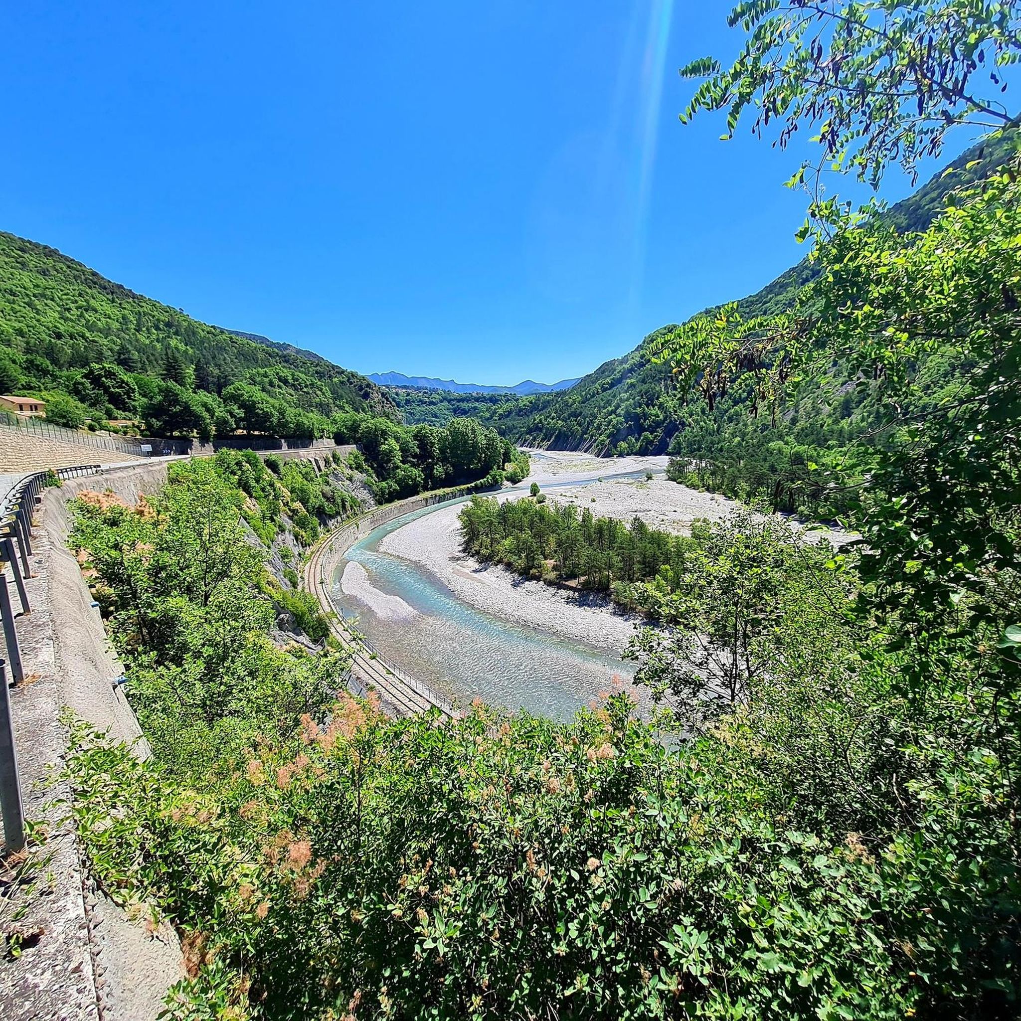
The Col de la Couillole is a mountain pass in the Massif du Mercantour-Argentera of the French Alps, situated at an altitude of 1,678 m (5,505 ft) in the Alpes-Maritimes department, France. The road connection is open for six to seven months of the year, allowing travel between the Cians gorges in the west and the Tinée valley in the east.
0
0
The Col de la Couillole is a mountain pass in the Massif du Mercantour-Argentera of the French Alps, situated at an altitude of 1,678 m (5,505 ft) in the Alpes-Maritimes department, France. The road connection is open for six to seven months of the year, allowing travel between the Cians gorges in the west and the Tinée valley in the east.
0
0
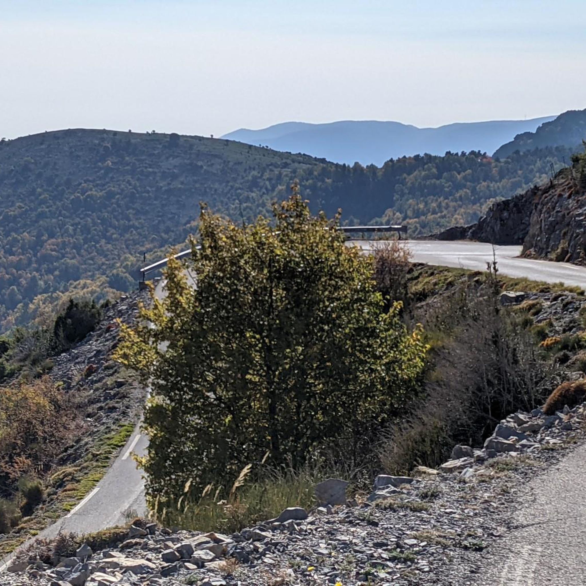
The Col Saint-Martin Pass, or Col de la Colmiane, is a mountain pass in the Southern Alps located at an altitude of 1,500 meters in the Alpes-Maritimes department of France. It provides a year-round road link between the Tinée Valley to the west and the Vésubie Valley to the east.
0
0
Col Saint Martin (el. 1500 m.) is a high mountain pass in the Alps in the department of Alpes-Maritimes in France.[1] It is traversed by the D-2205 highway.[2] The place has been crossed at the Tour de France road cycling race in 1973, 1975 and 2020, as well as at multiple editions of the Paris-Nice.
0
0

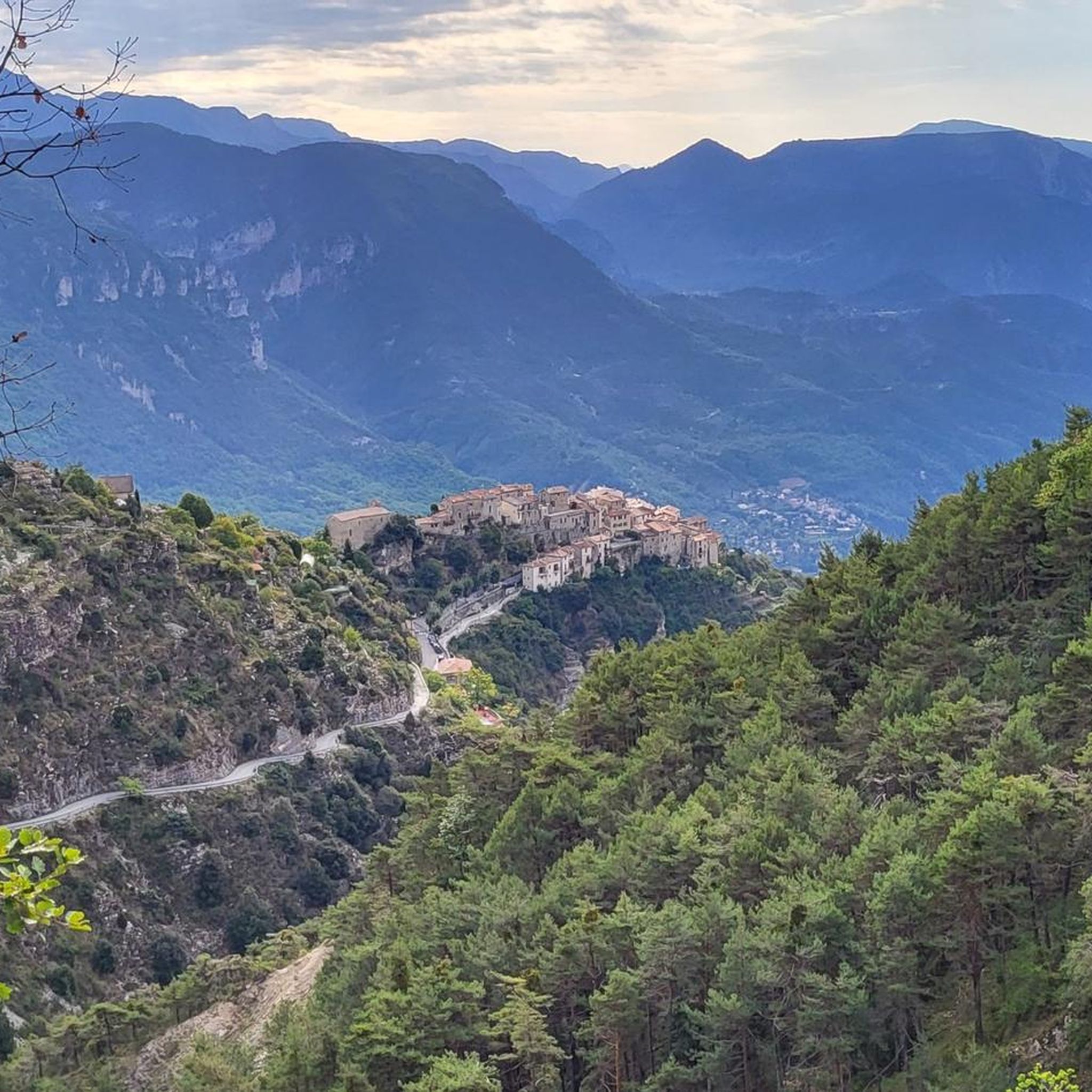
Spectacular view towards the steep valley of Tinée.
0
0

Preferably go down the Var in the morning because of the thermal of the valley
0
0

At the start of the descent towards St Laurent
0
0
Frequently Asked Questions
How many road cycling routes are available around Massoins?
There are over 30 road cycling routes around Massoins, ranging from moderate to difficult. The region is known for its challenging ascents and scenic rides through the Tinée and Vésubie Valleys.
What kind of terrain can I expect on road cycling routes near Massoins?
Road cycling around Massoins features diverse and often challenging terrain. You'll encounter well-maintained roads winding through deep gorges, such as the breathtaking Gorges de la Vésubie, alpine forests of pine and larch, and open sections with significant elevation gains as you tackle mountain passes. Lower altitudes may also feature olive groves and vineyards.
Are there any iconic mountain passes I can cycle to from Massoins?
Absolutely. The region is famous for its iconic mountain passes. You can challenge yourself on climbs like the Col de la Couillole, or explore routes that connect to other significant passes such as the Col Saint-Martin (La Colmiane) and the Col de Turini. These routes offer substantial elevation gains and rewarding views.
What are some notable natural features or landmarks to see while cycling?
The area boasts stunning natural beauty. You can cycle through the dramatic Vésubie gorges, experience the high mountain landscapes of the Tinée Valley, or visit mountain passes like The start of Col Saint-Martin and Col de Vé Gautier. The routes often offer panoramic views of the Mercantour National Park.
What is the best time of year for road cycling in Massoins?
Given the region's mountainous terrain and high passes, the best time for road cycling is typically from late spring through early autumn (May to October). During these months, the weather is generally more favorable, and the higher mountain passes are usually clear of snow, offering optimal conditions for challenging rides.
Are there any circular road cycling routes available?
Yes, many of the road cycling routes around Massoins are designed as loops, allowing you to start and finish in the same location. An example is the challenging Endless view – La Tour sur Tinée loop from La Tour, which covers over 80 km with significant elevation.
What do other road cyclists enjoy most about cycling in Massoins?
The road cycling routes around Massoins are highly rated by the komoot community, with an average score of 4.7 stars from over 20 reviews. Cyclists frequently praise the challenging mountain passes, the stunning scenery of the Tinée and Vésubie Valleys, and the well-maintained roads that offer a rewarding experience for those seeking substantial elevation gains.
Are there any routes suitable for advanced road cyclists seeking a significant challenge?
Massoins is an excellent destination for advanced road cyclists. Many routes feature substantial elevation gains and cover long distances. For instance, the Lantosque – Col à Utelle loop from Maritime Alps is a difficult 90 km route with over 2800 meters of ascent, offering a demanding ride.
Can I find amenities like cafes or accommodation in Massoins or nearby villages?
Massoins is a charming village, and the surrounding Tinée and Vésubie Valleys are dotted with picturesque villages. While specific details on cafes and accommodation are not provided in the route data, these villages typically offer amenities for visitors, including places to rest and refuel. It's advisable to check local listings for specific options.
Is it possible to connect to larger cycling networks from Massoins?
Yes, Massoins' location within the Tinée and Vésubie Valleys provides access to segments of the renowned "Route des Grandes Alpes®". This allows for connections to longer-distance cycling adventures, offering a diverse range of landscapes from high mountain passes to rugged gorges. You can find more information on specific stages, such as the alternative stage Saint-Étienne-de-Tinée – Saint-Martin-Vésubie, via external resources.
Are there any family-friendly or dog-friendly cycling routes around Massoins?
The road cycling routes around Massoins are primarily characterized by challenging ascents and significant elevation gains, making many of them more suitable for experienced road cyclists. While the guide data does not specifically highlight family-friendly or dog-friendly options, the region's diverse terrain might offer easier sections or alternative paths for those seeking less strenuous rides. It's recommended to check individual route profiles for difficulty and suitability.
What is the longest road cycling route available from Massoins?
One of the longest routes in the area is the Isola Village – Col de la Lombarde loop from Malaussène - Massoins. This challenging trail spans 122.6 km (76.2 miles) and includes over 3100 meters of ascent, typically taking around 7 hours and 17 minutes to complete.
Most popular attractions around Massoins

Get inspired with the komoot mobile app


Explore more
Browse the best Road cycling routes in other regions.
