The best road cycling routes around Thiéry
4.7
(19)
1,704
riders
16
rides
Road cycling routes around Thiéry, France, are characterized by challenging alpine terrain and dramatic elevation changes. The village, situated at 1050 meters, is surrounded by wooded mountains and overlooks several deep valleys, including the Var and Cians gorges. Winding mountain roads provide constant ascents and descents, making the region ideal for demanding road cycling experiences.
Best road cycling routes around Thiéry
- The most popular road cycling route is Gorges du Cians – Ascent to Col de la Couillole loop from…
Last updated: June 29, 2026
5.0
(1)
264
riders
43.9km
02:46
1,250m
1,250m
Hard road ride. Very good fitness required. Some segments of this route may be unpaved and difficult to ride.
5.0
(1)
83
riders
87.7km
05:10
2,220m
2,220m
Hard road ride. Very good fitness required. Mostly well-paved surfaces and easy to ride.

Sign up for free
5.0
(2)
40
riders
43.1km
02:24
920m
920m
Hard road ride. Very good fitness required. Mostly well-paved surfaces and easy to ride.
10
riders
32.0km
01:38
540m
540m
Moderate road ride. Good fitness required. Mostly well-paved surfaces and easy to ride.
9
riders
56.9km
03:25
1,420m
1,420m
Hard road ride. Very good fitness required. Mostly well-paved surfaces and easy to ride.
Get access to more routes and recommendations from other explorers.
Sign up for free
Already have an account?
Our route recommendations are based on thousands of hikes, rides, and runs completed by other people on komoot.
Start today with a free account
Your next adventure awaits.
Login or Signup
Tips from the Community

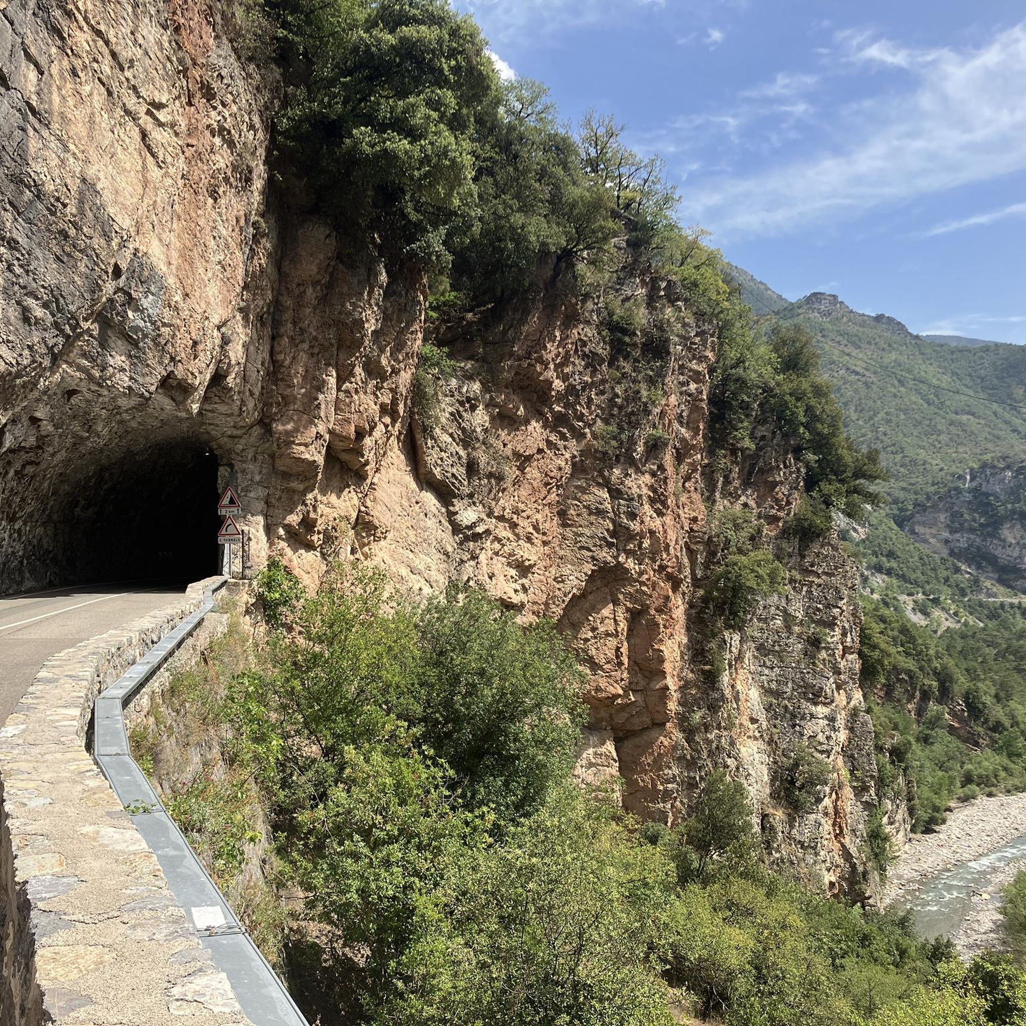
Yesterday, despite the ban, I rode through the tunnel and survived. It's just a tunnel passage, like many you find in the Alps. The detour would have been 20 km long and 1000m of elevation gain. I had already been on the road for 10 days from Vienna and had already conquered the Bonette that same day. So I had absolutely no desire for the detour. But of course, it's a risk, so everyone has to decide for themselves what they do.
0
0

The Col de Sainte-Anne is a pass at an altitude of 425 meters in the French department of Bouches-du-Rhône.
0
0
The Col de la Couillole is a mountain pass in the Massif du Mercantour-Argentera of the French Alps, situated at an altitude of 1,678 m (5,505 ft) in the Alpes-Maritimes department, France. The road connection is open for six to seven months of the year, allowing travel between the Cians gorges in the west and the Tinée valley in the east.
0
0
The Col de la Couillole is a mountain pass in the Massif du Mercantour-Argentera of the French Alps, situated at an altitude of 1,678 m (5,505 ft) in the Alpes-Maritimes department, France. The road connection is open for six to seven months of the year, allowing travel between the Cians gorges in the west and the Tinée valley in the east.
0
0

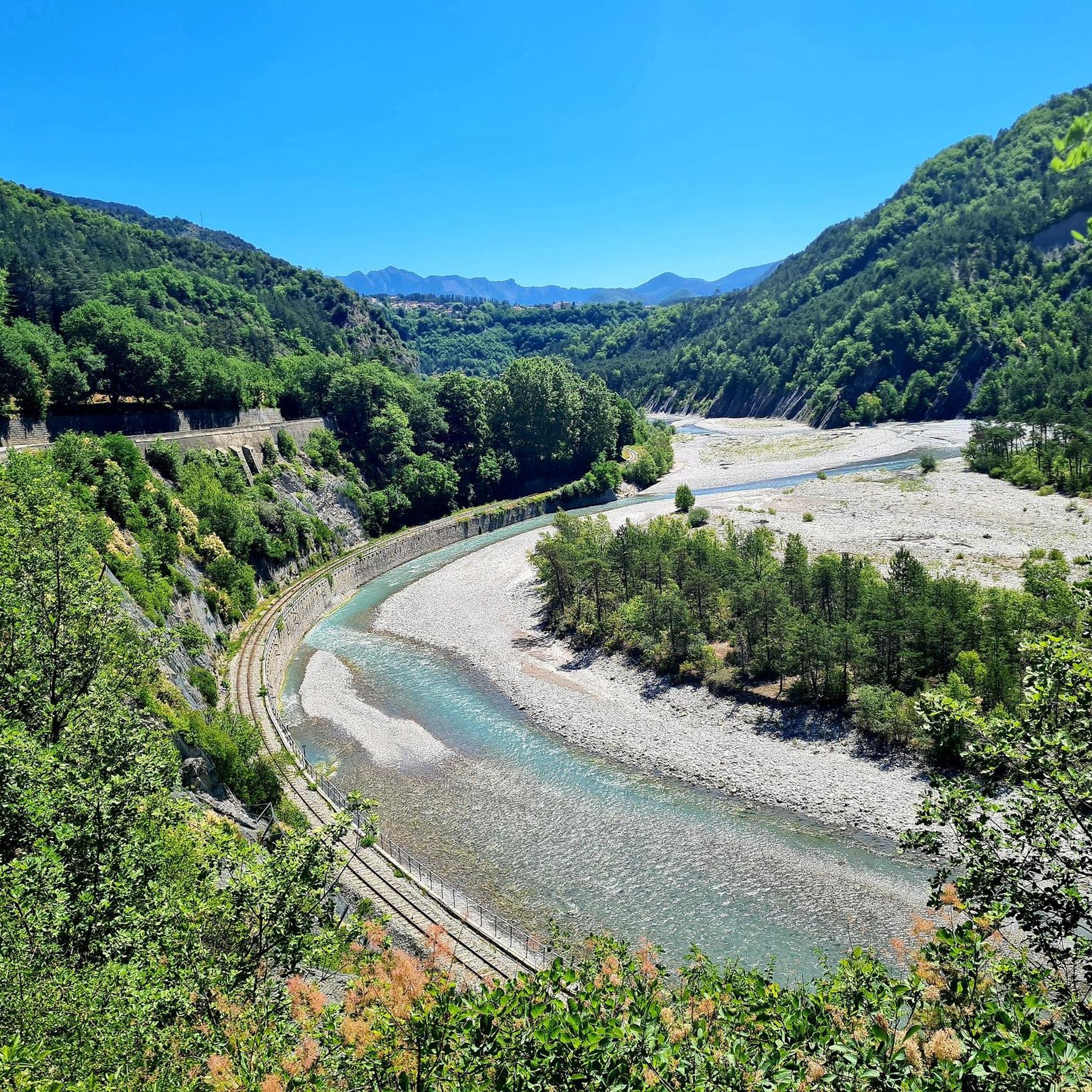
If you'd like to take a ride, you can find out about the train times here: https://www.cpzou.fr/en/steam-train-train-des-pignes-a-vapeur/
0
0

Tunnel prohibited // Outside impossible, double-lane highway
4
0

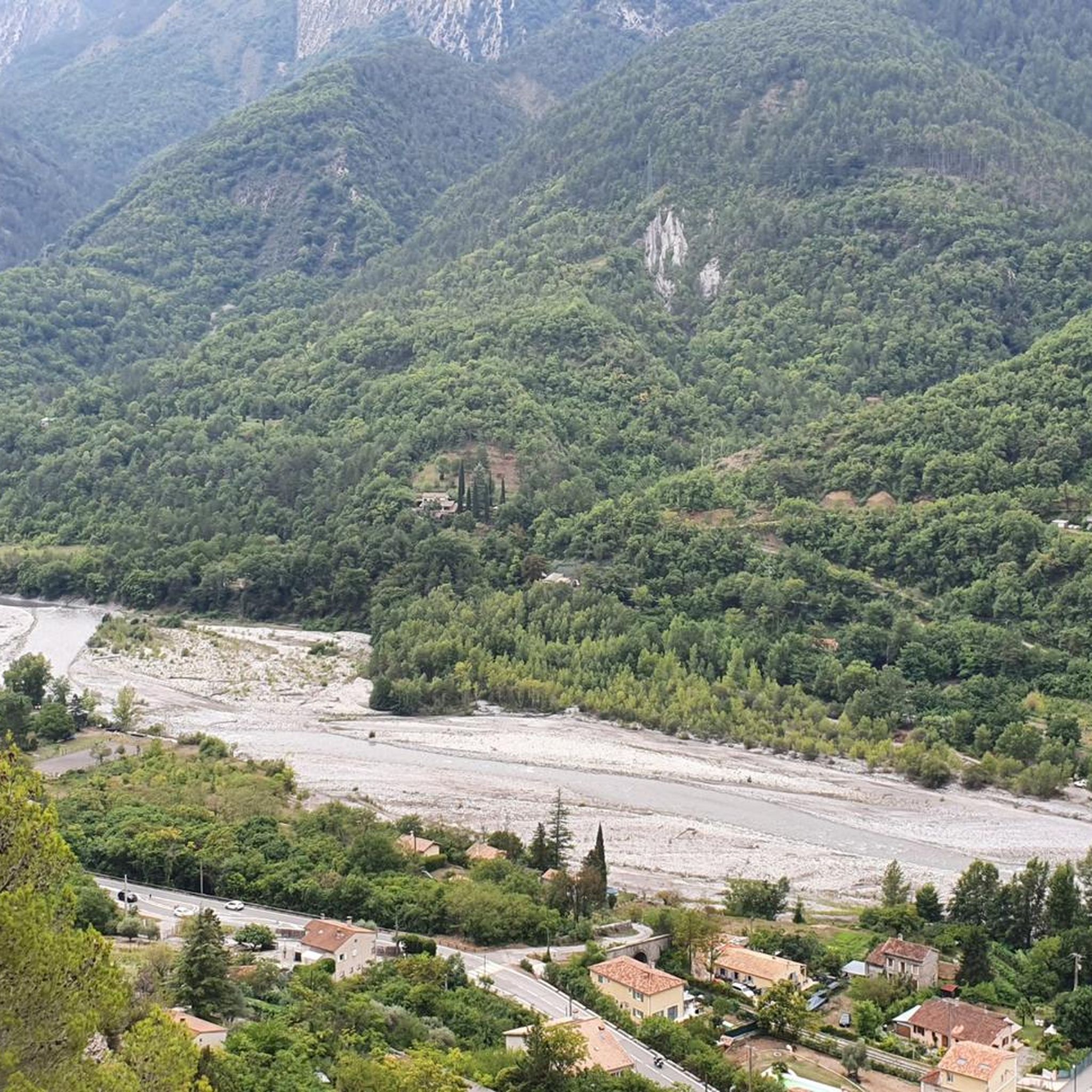
Stylish bridge over the Var with beautiful views over the Var valley.
5
0

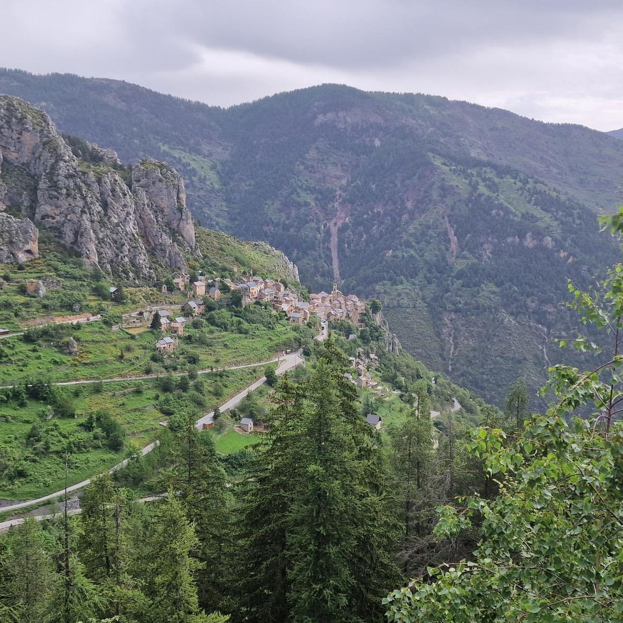
Spectacular view towards the steep valley of Tinée.
0
0
Frequently Asked Questions
How many road cycling routes are available around Thiéry?
There are over 15 road cycling routes around Thiéry, primarily characterized by challenging alpine terrain and significant elevation changes. Most of these routes are rated as difficult, offering a demanding experience for experienced cyclists.
What is the typical terrain like for road cycling near Thiéry?
Road cycling around Thiéry is defined by winding mountain roads, deep valleys, and significant peaks. The region, perched at 1050 meters, offers constant ascents and descents through wooded mountains and dramatic valleys like the Var and Cians gorges, providing a truly alpine cycling experience.
What kind of difficulty can I expect from road cycling routes in Thiéry?
The majority of road cycling routes in Thiéry are considered difficult, with 15 out of 18 routes falling into this category. There are a few moderate options, and only one route is rated as easy, making the area ideal for cyclists seeking challenging climbs and long distances.
Are there any easy road cycling routes around Thiéry?
While most routes around Thiéry are challenging, there is one route rated as easy. However, the region is predominantly known for its demanding alpine terrain, so even 'easy' routes may involve some elevation gain compared to flatter regions.
What do other cyclists say about road cycling in Thiéry?
The road cycling routes in Thiéry are highly rated by the komoot community, with an average score of 4.8 stars from over 15 reviews. More than 1600 road cyclists have used komoot to explore Thiéry's varied and challenging terrain, often praising the breathtaking landscapes and rewarding climbs.
Are there long-distance road cycling trails near Thiéry?
Yes, Thiéry offers several long-distance road cycling trails. For example, the Isola Village – Col de la Lombarde loop from Malaussène - Massoins is a challenging 76.2-mile (122.6 km) route that takes approximately 7 hours and 17 minutes to complete, leading through high mountain passes and valleys.
What are some scenic viewpoints or natural features to look out for while cycling?
Cyclists can enjoy panoramic vistas of the Var valley, the Cians gorges, and the Arzilagne valley. The Gorges du Cians are particularly notable for their deep valleys and dramatic scenery. You can also find stunning views from highlights like Rocks and views.
What is the best season for road biking in Thiéry?
Given Thiéry's high-altitude alpine location, the best season for road biking is typically from late spring to early autumn (roughly May to October). During these months, the weather is generally more favorable, and mountain passes are less likely to be affected by snow, offering optimal conditions for challenging climbs and descents.
Are there any circular road cycling routes around Thiéry?
Yes, many of the routes around Thiéry are circular, allowing you to start and end in the same location. Examples include the Gorges du Cians – Ascent to Col de la Couillole loop from Rigaud - Le Cians and the Col de la Couillole – Ascent to Col de la Couillole loop from Bairols, both offering extensive loops through the region's stunning landscapes.
What landmarks or attractions can I explore near the road cycling routes?
Beyond the cycling itself, you can explore the well-preserved 11th-century village of Thiéry. Nearby attractions include the dramatic Gorges du Cians, the challenging Hairpin Ascent of the Gorges de la Tinée, and various mountain passes like The start of Col Saint-Martin and Col de Vé Gautier.
Are there any routes that pass through the Mercantour National Park area?
Thiéry is located near the Mercantour National Park, a region known for its biodiversity and diverse landscapes. While specific routes listed here might not be entirely within the park, their proximity means cyclists can access a wider network of roads and trails that offer similar natural beauty and challenging terrain characteristic of this protected area.
What is the average duration for road cycling routes in Thiéry?
The duration of road cycling routes in Thiéry varies significantly due to the challenging terrain and varying distances. Shorter, difficult loops like the Gorges du Cians – Ascent to Col de la Couillole loop from Rigaud - Le Cians can take around 2 hours and 48 minutes, while longer routes such as the Isola Village – Col de la Lombarde loop from Malaussène - Massoins can extend to over 7 hours.
Most popular attractions around Thiéry

Get inspired with the komoot mobile app


Explore more
Browse the best Road cycling routes in other regions.
