The best running trails around Coyrière
4.4
(29)
2,221
runners
208
runs
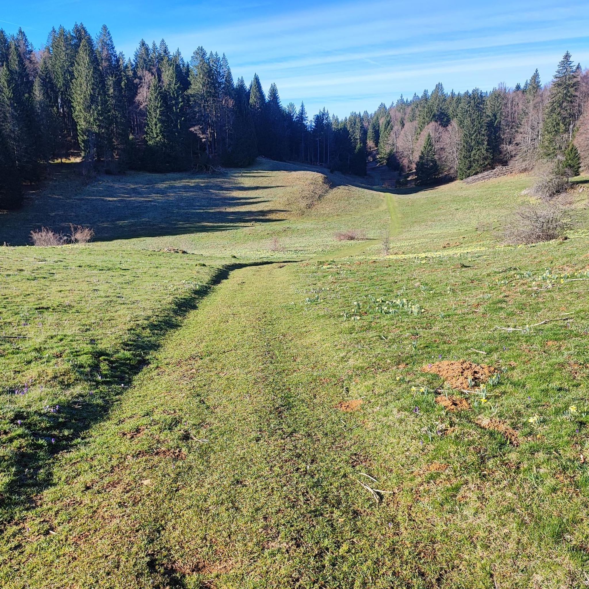
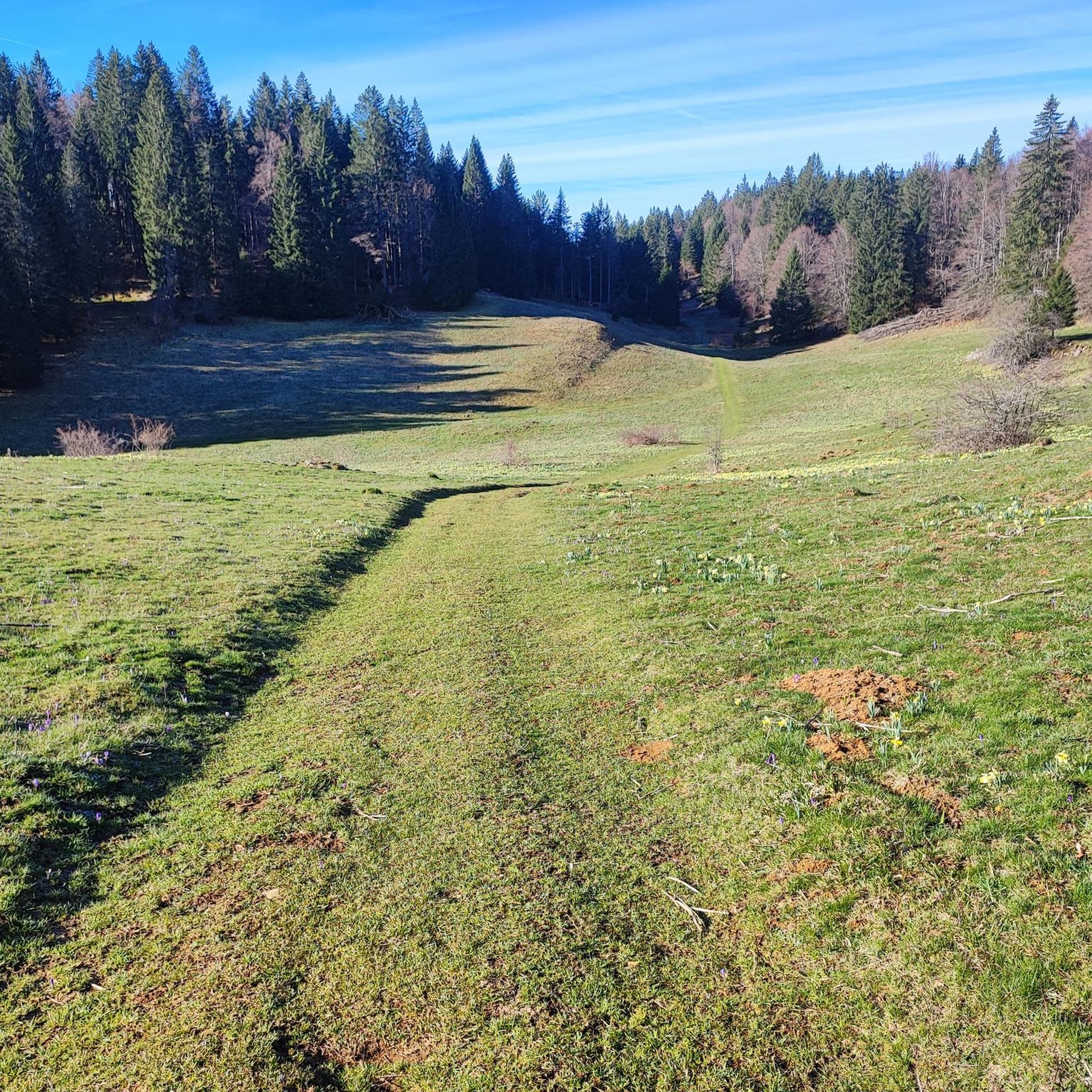
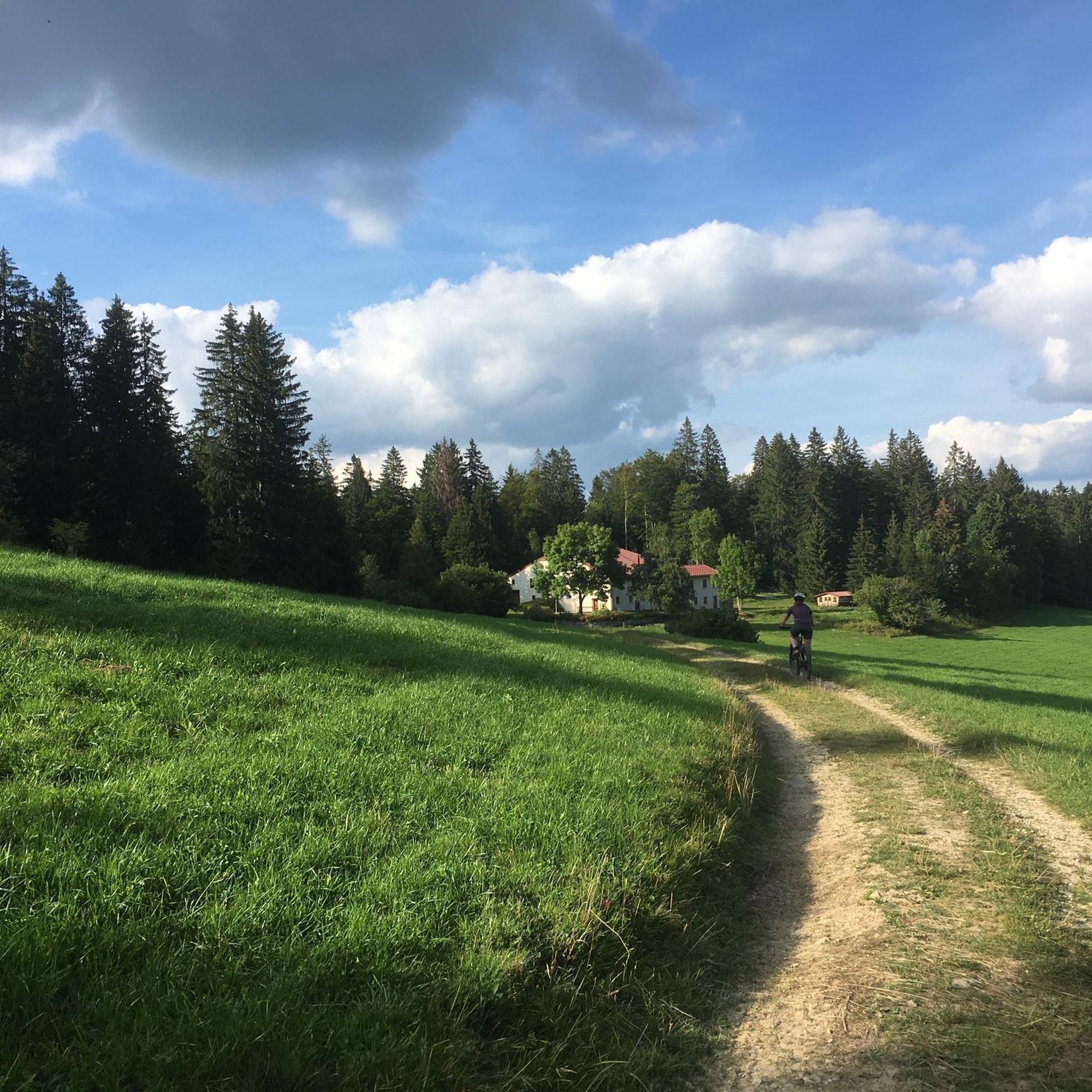
Jogging routes around Coyrière traverse a landscape characterized by rolling hills, dense woodlands, and expansive open pastures. The region, closely associated with the Jura Mountains, offers varied terrain with moderate elevation changes, including both well-maintained paths and more rugged trails. Streams and small rivers contribute to the natural setting, providing diverse running experiences.
Best jogging routes around Coyrière
- The most popular jogging route is La Roche Blanche loop from La Verne, a 4.6 miles (7.4 km) trail that takes…
Last updated: June 27, 2026
39
runners
6.50km
01:28
670m
670m
Hard run. Very good fitness required. Sure-footedness, sturdy shoes and alpine experience required.
3.0
(1)
75
runners
13.0km
02:07
780m
780m
Hard run. Very good fitness required. Sure-footedness, sturdy shoes and alpine experience required.

Sign up for free
31
runners
23.3km
03:01
770m
760m
Hard run. Very good fitness required. Mostly paved surfaces. Suitable for all skill levels.
15
runners
5.07km
00:35
140m
140m
Moderate run. Good fitness required. Mostly paved surfaces. Suitable for all skill levels.
5.0
(1)
11
runners
5.91km
00:40
150m
150m
Moderate run. Good fitness required. Mostly paved surfaces. Suitable for all skill levels.
Get access to more routes and recommendations from other explorers.
Sign up for free
Already have an account?
Our route recommendations are based on thousands of hikes, rides, and runs completed by other people on komoot.
Start today with a free account
Your next adventure awaits.
Login or Signup

Tips from the Community

The Chapeau de Gendarme, located in the Jura department, is a distinctive rock formation resembling a gendarme's hat. Rising majestically from the landscape, it provides a unique and iconic landmark.
0
0
Le Saut du Chien, located in the Jura department, is a fascinating natural waterfall. It is surrounded by lush vegetation and is visible from the road.
0
1

Demanding hike but beautiful views. To be done in dry weather because the descent from the belvedere "above the sandstone" is very slippery, muddy and steep when the path is wet, so frankly a headache!
1
2

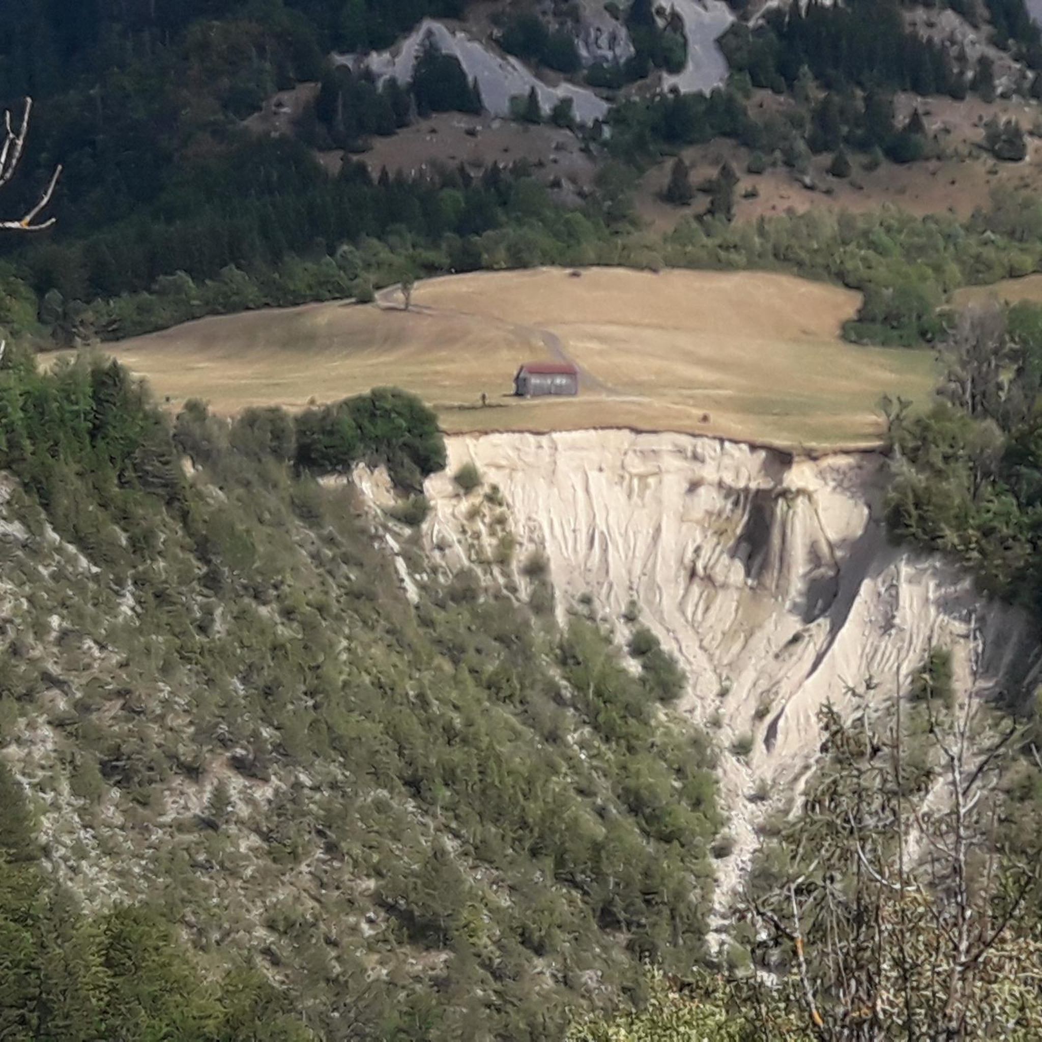
From this vantage point, the view extends to the distant horizon. The geology is visible amid the greenery.
3
0

An incredible point of view after the formidable laces of Sepmontel (in the direction of the descent).
0
0

Exceptional chacom factory and factory store you will know all about the manufacturing .. chacom.com
0
0

A "dog jump" over the gorge of the Flume. Below there is said to be a waterfall, which you cannot see from the street.
1
0
The "Gendarme hat" is a geological rarity that resembles the hat of the gendarmes after the revolution. A little below the ruisseau de Chapy falls into the valley (due to the drought, only a small trickle can be seen in the picture)
0
0
Frequently Asked Questions
How many running routes are available around Coyrière?
The Coyrière region, nestled within the Jura Mountains, offers a wide selection of running routes. You'll find over 190 diverse trails, catering to various preferences and fitness levels.
What kind of terrain can I expect on jogging trails in Coyrière?
Jogging routes around Coyrière feature a varied and picturesque landscape. Expect rolling hills, dense woodlands, and expansive open pastures. The terrain includes both well-maintained paths and more rugged trails, often with streams and small rivers contributing to the natural setting. This diverse topography offers both scenic beauty and a good physical challenge.
Are there options for different fitness levels, from easy to difficult?
Absolutely. The running network around Coyrière is designed to accommodate all fitness levels. There are 4 easy routes perfect for a relaxed jog, 77 moderate trails for a good workout, and 111 difficult routes for experienced runners seeking a challenge.
Are there any running routes that feature waterfalls near Coyrière?
Yes, for those who enjoy the beauty of waterfalls, the Dog's Leap – Flumen Waterfall loop from Saint-Claude is an excellent choice. This difficult 7.3-mile (11.7 km) path offers a challenging run through varied terrain, including natural settings with stunning waterfalls.
Can I find family-friendly jogging routes in the area?
While many routes in Coyrière feature moderate to difficult terrain, there are options suitable for families looking for a gentler experience. Look for routes categorized as 'easy' on komoot, which typically have less elevation gain and smoother paths, making them more accessible for all ages.
Are dogs allowed on the running trails in Coyrière?
Many trails in the Jura Mountains region are dog-friendly, but it's always best to check local signage or specific route details. Generally, dogs are welcome on a leash, especially in less sensitive natural areas. Always ensure your dog is under control and respect wildlife.
Are there circular running routes available around Coyrière?
Yes, many of the running routes in Coyrière are designed as loops, offering convenient circular journeys. Popular examples include La Roche Blanche loop from La Verne, a 4.6-mile (7.4 km) trail, and the La Daudine loop from Les Moussières, which spans 7.4 miles (11.9 km) through open fields and forests.
Where can I find routes with panoramic views or interesting landmarks?
The Jura Mountains are known for their scenic beauty. For panoramic views, consider routes that ascend to higher points. While specific viewpoints vary by route, the region offers stunning vistas, including those towards Crêt de la Neige or views of Lake Geneva and Mont Blanc from Balcon du Léman. You might also encounter notable mountain passes like Col de la Croix de Serra.
What is the best time of year for running in the Coyrière region?
The best time for running in Coyrière is typically from spring through autumn (April to October). During these months, the weather is generally mild and pleasant, and the trails are free of snow. The region transforms into a Nordic paradise in winter, ideal for cross-country skiing and snowshoeing, so running conditions can be challenging then.
What do other runners enjoy most about jogging in Coyrière?
The running routes in Coyrière are highly rated by the komoot community, with an average score of 4.1 stars from over 35 reviews. Runners often praise the diverse terrain, the beautiful natural settings with dense woodlands and open pastures, and the variety of routes available for all skill levels. Over 2400 runners have used komoot to explore Coyrière's varied trails.
Are there any easy jogging paths for beginners in Coyrière?
Yes, beginners can find suitable routes in Coyrière. While many trails offer moderate to difficult challenges, there are 4 routes specifically categorized as easy. These typically feature less elevation gain and smoother surfaces, providing a gentle introduction to running in the region. An example of a moderate, yet accessible, route is the Running loop from Villard-Saint-Sauveur.
What are some challenging running routes for experienced runners?
Experienced runners looking for a challenge will find plenty of options, with 111 difficult routes available. The La Roche Blanche loop from La Verne is a demanding 4.6-mile (7.4 km) trail with significant elevation changes through forested areas. Another tough option is the Flumen Waterfall – Chacom loop from Saint-Claude, a 9.7 km route with considerable ascents.
Most popular attractions around Coyrière

Get inspired with the komoot mobile app


Explore more
Browse the best Running Trails & Routes in other regions.
