The best MTB trails around Villers-Sur-Saulnot
4.6
(194)
576
riders
138
rides
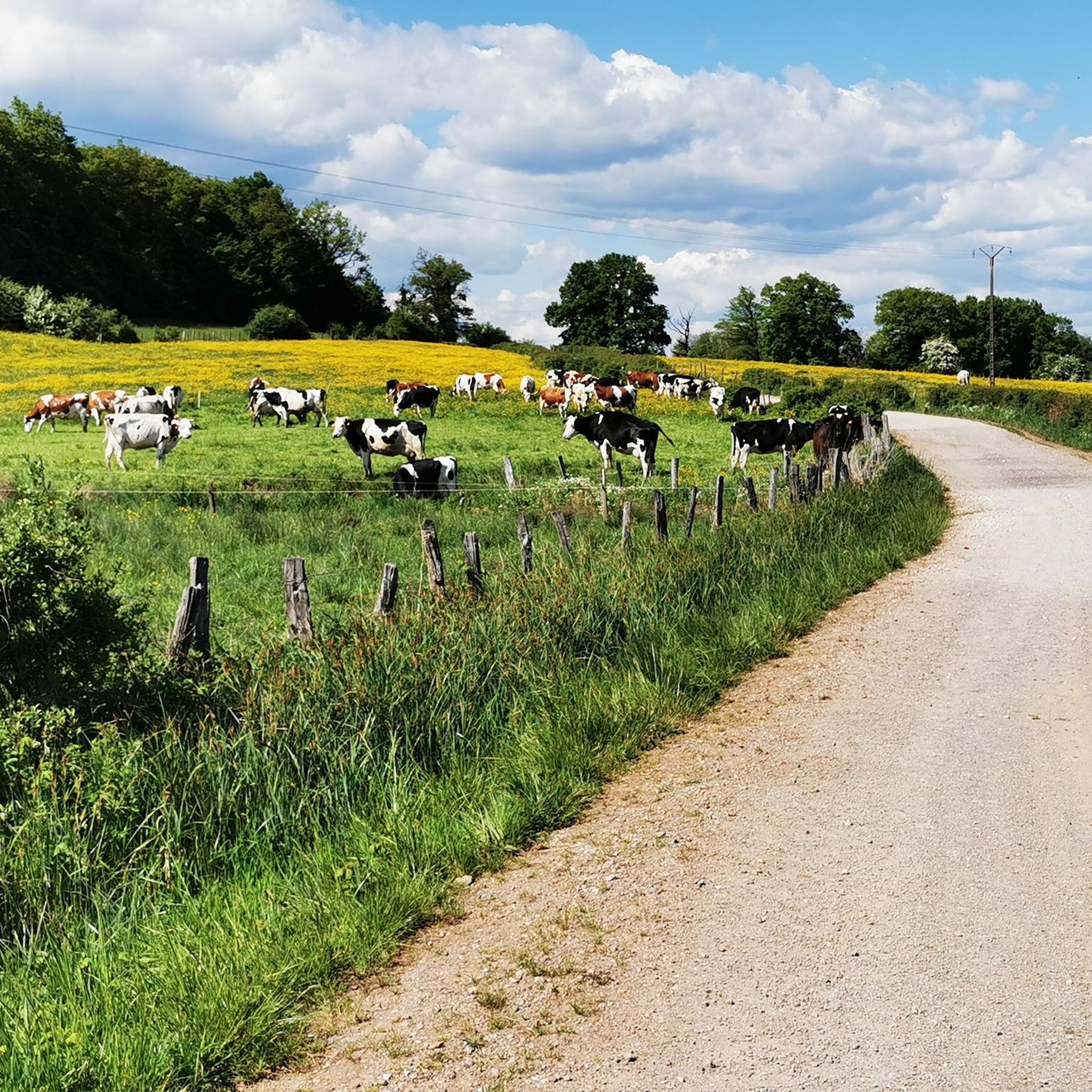
Mountain biking around Villers-Sur-Saulnot offers a variety of terrain characterized by rolling hills and dense woodlands. The region features a network of trails that traverse agricultural landscapes and river valleys, providing diverse options for mountain bikers. Elevations are generally moderate, with some routes including sustained climbs.
Best mountain bike trails around Villers-Sur-Saulnot
- The most popular mountain bike trail is L'Isle-sur-le-Doubs – Four Ends Boundary Stone loop from Désandans, a 25.0 miles (40.2 km) trail that takes 3 hours 3…
Last updated: July 5, 2026
3.0
(1)
4
riders
41.1km
03:03
480m
480m
Hard mountain bike ride. Good fitness required. Advanced riding skills necessary. Some portions of the route may require you to push your bike.
5.0
(2)
5
riders
40.2km
03:57
810m
810m
Hard mountain bike ride. Good fitness required. Advanced riding skills necessary. Some portions of the route may require you to push your bike.

Sign up for free
4.5
(2)
5
riders
21.9km
01:20
200m
200m
Easy mountain bike ride. Great for any fitness level. Suitable for all skill levels.
3
riders
21.3km
01:22
220m
220m
Easy mountain bike ride. Great for any fitness level. Suitable for all skill levels.
4.8
(4)
4
riders
25.0km
02:33
580m
580m
Hard mountain bike ride. Good fitness required. Advanced riding skills necessary. Some portions of the route may require you to push your bike.
Get access to more routes and recommendations from other explorers.
Sign up for free
Already have an account?
Our route recommendations are based on thousands of hikes, rides, and runs completed by other people on komoot.
Start today with a free account
Your next adventure awaits.
Login or Signup



Tips from the Community

Very beautiful cave to see at the bend in the main path near Villers sous Saulnot
0
0

A good place for a break in the shade of the trees. There are picnic benches.
0
0

a beautiful place, at the top of a good hill where I "sweated" a lot...
0
0

On a beautiful sunny day, we discovered this site where a few rocks overlap, including a flat stone.
0
0

Quaint view across the old canal locks in this historic town on the Doubs river.
1
1

Several difficult rocky passages if wet, with steep climbs (S>N) Easier and more pleasant direction N>S, Champey> Le Vernoy
0
0

If you're looking for a peaceful, scenic hike in the countryside, you can visit the Étang des Princes, a series of ponds that were once part of the Duchy of Montbéliard. You can admire the changing colors of the trees and the reflections of the water as you walk around the ponds.
2
1

The cycle path from St. Marie to Bart is completely asphalted and runs beautifully through fields and forest
0
0
Frequently Asked Questions
What is the general terrain like for mountain biking around Villers-Sur-Saulnot?
The region features a variety of terrain, characterized by rolling hills and dense woodlands. You'll find a network of trails traversing agricultural landscapes and river valleys, offering diverse options for mountain bikers. Elevations are generally moderate, with some routes including sustained climbs.
Are there mountain bike trails suitable for beginners or families in Villers-Sur-Saulnot?
Yes, there are trails suitable for beginners. For example, the Le Rupt (Princes' Pond) – Princes' Pond loop from Arcey is an easy 13.0-mile (20.9 km) route, perfect for those new to mountain biking or looking for a relaxed ride. Overall, 7 of the 132 available routes are classified as easy.
What kind of challenging mountain bike trails can I find in the area?
For experienced riders seeking a challenge, Villers-Sur-Saulnot offers numerous difficult trails. The L'Isle-sur-le-Doubs – Four Ends Boundary Stone loop from Désandans is a difficult 25.0-mile (40.2 km) trail with challenging climbs. Another demanding option is the La Pierre plate – Réchal Pond loop from Arcey, also a difficult 25.0-mile (40.2 km) path featuring significant ascents. There are 81 difficult routes in total.
When is the best time of year to go mountain biking in Villers-Sur-Saulnot?
The best time for mountain biking in Villers-Sur-Saulnot is typically from spring through autumn, when the weather is mild and trails are dry. The region's dense woodlands provide good shade during warmer months, and the rolling hills are particularly scenic in spring and fall. Winter riding may be possible, but conditions can be wet or muddy, and some trails might be less accessible.
Are there any specific parking facilities for mountain bikers near the trailheads?
While specific dedicated mountain bike parking facilities are not detailed in the route descriptions, most trailheads in rural areas like Villers-Sur-Saulnot typically have informal parking areas or roadside parking available. It's advisable to check the starting point of your chosen route on komoot for more precise parking information or local recommendations.
What interesting sights or landmarks can I see along the mountain bike trails?
Several routes pass by interesting points. You might encounter historical sites like the Mont Vaudois Fort or natural features such as the Gonvillars Cave. The Le Rupt (Princes' Pond) is also a notable spot, often featured in local routes.
Are permits required for mountain biking on trails around Villers-Sur-Saulnot?
Generally, permits are not required for mountain biking on public trails in the Villers-Sur-Saulnot region. However, it's always good practice to respect local regulations and private land signage. Always stick to marked trails to avoid trespassing and preserve the natural environment.
How do other mountain bikers rate the trails in Villers-Sur-Saulnot?
The mountain bike trails in Villers-Sur-Saulnot are highly rated by the komoot community, with an average score of 4.5 stars from over 200 reviews. Reviewers often praise the varied terrain, the scenic views over the landscape, and the well-maintained paths that cater to different skill levels.
Are there any good moderate-difficulty mountain bike routes?
Yes, there are plenty of moderate routes for those looking for a balanced challenge. The Previous Route of Mont Barr – Présentvillers <-> Bart loop from Désandans is a popular moderate 14.1-mile (22.6 km) trail leading through rolling hills and forest paths. Another good option is the Previous Route of Mont Barr – Château de Montbéliard loop from Arcey, a 20.4-mile (32.8 km) moderate route. There are 44 moderate routes available.
Can I find mountain bike trails that offer scenic viewpoints?
Many trails in Villers-Sur-Saulnot offer scenic views, particularly those that include sustained climbs or traverse higher elevations. The region's rolling hills and river valleys naturally provide picturesque vistas. For example, the La Pierre plate – Réchal Pond loop from Arcey is noted for its scenic views over the landscape.
What is the typical length and elevation gain for mountain bike trails in this area?
Trail lengths vary significantly, from shorter easy loops around 13 miles (20 km) to more challenging routes exceeding 25 miles (40 km). Elevation gains are generally moderate, reflecting the region's rolling hills. Difficult trails can feature ascents of over 800 meters, while easier routes might have around 200 meters of elevation gain.
Most popular routes around Villers-Sur-Saulnot
Most popular attractions around Villers-Sur-Saulnot

Get inspired with the komoot mobile app


Explore more
Browse the best MTB trails in other regions.
