The best running trails around Chagey-Et-Genéchier
4.4
(163)
8,227
runners
290
runs
Jogging around Chagey-Et-Genéchier offers diverse landscapes characterized by hilly and wooded terrain, providing varied and scenic routes. The commune's undulating landscape, with altitudes ranging from 337m to 489m, creates a dynamic environment for running. Extensive woodlands, such as the Bois de Genéchier, offer shaded trails, while the Lizaine River suggests potential for picturesque riverside paths. This region in Haute-Saône provides a natural setting for outdoor activity.
Best jogging routes around Chagey-Et-Genéchier
- The most popular jogging route is Running loop from…
Last updated: October 8, 2026
29
runners
11.0km
01:08
50m
50m
Moderate run. Good fitness required. Mostly paved surfaces. Suitable for all skill levels.
15
runners
16.9km
02:04
480m
480m
Hard run. Very good fitness required. Sure-footedness, sturdy shoes and alpine experience required.

8
runners
5.03km
00:33
50m
50m
Moderate run. Good fitness required. Mostly paved surfaces. Suitable for all skill levels.
6
runners
7.29km
00:47
80m
80m
Moderate run. Good fitness required. Mostly paved surfaces. Suitable for all skill levels.
6
runners
9.03km
00:57
110m
110m
Moderate run. Good fitness required. Mostly paved surfaces. Suitable for all skill levels.
Get access to more routes and recommendations from other explorers.
Already have an account?
Our route recommendations are based on thousands of hikes, rides, and runs completed by other people on komoot.
Start today with a free account
Your next adventure awaits.

Tips from the Community

Nice morning walk, not too difficult, with a passage by the Fort du Mont Vaudois
0
0

This historic city is dominated by the Fort du Mont Vaudois, an impressive 19th-century military structure. You can discover the remains of its 12th-century feudal castle, where a tower stands, classified as a Historic Monument since 1913.
0
0

Children's play areas, picnic areas and walking trails... Lizaine Park is perfect for a moment of relaxation in a magnificent setting!
0
0

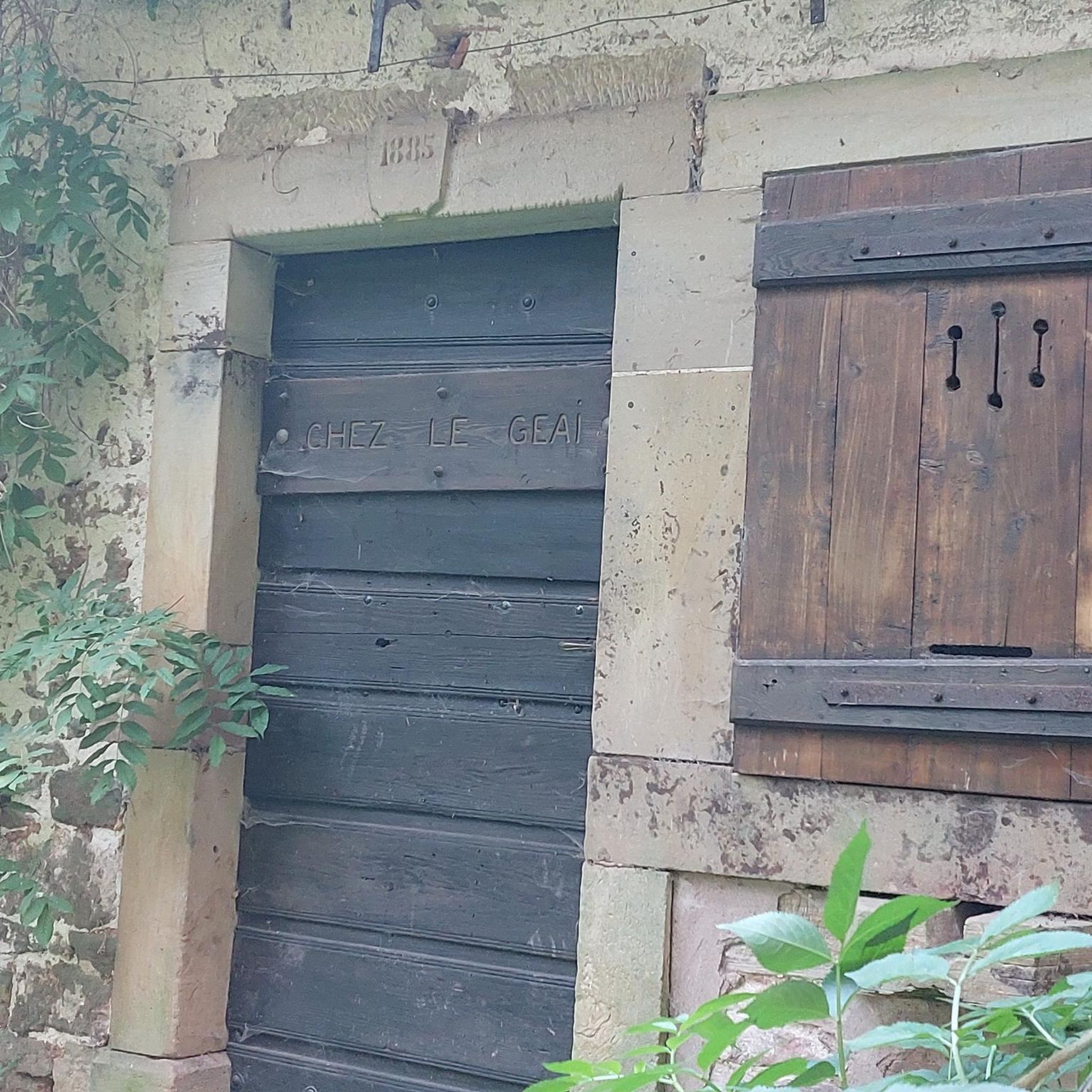
The construction of the Mont-Vaudois fort took 3 years between 1874 and 1877. In 1885, the invention of the torpedo shell, I suppose, bombarded the fort from above and led to the construction of an underground bunker as a defense. In 1944, faced with the advance of the Allies, a German unit occupied the fort and was driven out without success, despite a barrage of 3,000 shells. The Germans withdrew on their own. A testimony of this bunker built in 1885.
2
0
The construction of the Mont-Vaudois fort took 3 years between 1874 and 1877. In 1885, the invention of the torpedo shell, I suppose, bombarded the fort from above and led to the construction of an underground bunker as a defense. In 1944, faced with the advance of the Allies, a German unit occupied the fort and was driven out without success, despite a barrage of 3,000 shells. The Germans withdrew on their own. A testimony of this bunker built in 1885.
2
1


..follow the blue hiking markings
0
0

Magnificent spot for hiking and mountain biking, several official tracks between xc and enduro, not to be missed
1
0
Frequently Asked Questions
How many running routes are available in Chagey-Et-Genéchier?
There are over 300 running routes around Chagey-Et-Genéchier, offering a wide variety of options for all fitness levels. This includes 22 easy routes, 223 moderate routes, and 58 difficult routes.
What kind of terrain can I expect on the jogging trails around Chagey-Et-Genéchier?
The region is characterized by its hilly and wooded terrain, with altitudes ranging from 337m to 489m. You'll find dynamic environments with both challenging inclines and gentle paths. Extensive woodlands, such as the Bois de Genéchier, provide shaded trails, and the Lizaine River offers picturesque riverside running opportunities.
Are there running routes suitable for beginners in Chagey-Et-Genéchier?
Yes, Chagey-Et-Genéchier offers 22 easy running routes perfect for beginners or those looking for a less strenuous jog. These paths generally have minimal elevation gain and cover shorter distances.
What do other runners say about the trails in Chagey-Et-Genéchier?
The running routes in Chagey-Et-Genéchier are highly rated by the komoot community, with an average score of 4.5 stars from over 130 reviews. More than 7,000 runners have used komoot to explore the varied terrain, often praising the scenic beauty and diverse options available.
Are there any challenging running routes for experienced runners?
Absolutely. For experienced runners seeking a challenge, there are 58 difficult routes available. One notable option is the Mont Vaudois Fort loop from Luze, a 16.9 km path with significant elevation gain that leads through the region's hilly and wooded terrain.
Are there any circular running routes in the area?
Yes, many of the running routes in Chagey-Et-Genéchier are circular, allowing you to start and finish at the same point. For example, the Running loop from Mandrevillars is a 5 km circular trail that takes you through the local countryside.
What natural features or landmarks can I see along the running routes?
While jogging, you can explore the extensive woodlands like the Bois de Genéchier and enjoy paths alongside the Lizaine River. Some trails also lead to interesting landmarks such as the intriguing Pierre Saint-Desle and the Oratoire Marie des Geais. For more points of interest, you might consider highlights like the Véronne Pond or the Viewpoint overlooking Lake Malsaucy.
Are there any family-friendly running paths in Chagey-Et-Genéchier?
Yes, the region offers several easy and moderate routes that are suitable for families. These paths often feature gentler inclines and shorter distances, making them enjoyable for all ages. Look for routes marked as 'easy' on komoot for the most family-friendly options.
Can I find running routes with good parking access?
Many routes in the Chagey-Et-Genéchier area start from villages or accessible points where parking is generally available. For instance, routes like the Running loop from Luze typically have convenient starting points with parking options nearby.
Are there any running routes that pass by lakes or water bodies?
Yes, the Lizaine River traverses the village of Chagey, offering picturesque riverside jogging paths. Additionally, the broader region features several lakes. You can find highlights like Véronne Pond or Étang du Malsaucy in the vicinity, which may have trails around them or offer scenic views.
What is a good moderate running route to try in the area?
A popular moderate option is the Running loop from Échenans-sous-Mont-Vaudois. This 7.3 km route offers a balanced experience through the varied landscape and is typically completed in under an hour.
Are there any longer running trails for endurance training?
For longer runs, consider routes like the Étang Réchal – La Vacherie loop from Luze. This difficult 16 km trail provides a significant distance and elevation gain, ideal for endurance training amidst the region's natural beauty.
Most popular routes around Chagey-Et-Genéchier
Most popular attractions around Chagey-Et-Genéchier

Get inspired with the komoot mobile app


Explore more
Browse the best Running Trails & Routes in other regions.
