The best walks and hikes around Luneray
4.5
(1838)
8,265
hikers
143
hikes
Hiking around Luneray offers diverse landscapes, from the dramatic chalk cliffs of the Côte d'Albâtre to the verdant inland river valleys. The region is characterized by its coastal features, the rolling Cauchoise countryside, and the forested areas around the Dun and Saâne rivers. These varied terrains provide a range of hiking experiences, including paths along the English Channel and trails through agricultural lands and woodlands.
Best hiking trails around Luneray
- The most popular hiking route is Arthur Gregory O'Dea Memorial…
Last updated: October 12, 2026
4.3
(6)
22
hikers
14.8km
03:53
120m
120m
Moderate hike. Good fitness required. Easily-accessible paths. Suitable for all skill levels.
4.0
(2)
13
hikers
21.6km
05:51
290m
290m
Hard hike. Very good fitness required. Easily-accessible paths. Suitable for all skill levels.

5.0
(2)
8
hikers
10.3km
02:42
90m
90m
Moderate hike. Good fitness required. Easily-accessible paths. Suitable for all skill levels.
4.3
(3)
10
hikers
15.5km
04:04
140m
140m
Moderate hike. Good fitness required. Easily-accessible paths. Suitable for all skill levels.
3.3
(3)
10
hikers
12.0km
03:13
150m
150m
Moderate hike. Good fitness required. Easily-accessible paths. Suitable for all skill levels.
Get access to more routes and recommendations from other explorers.
Already have an account?
Our route recommendations are based on thousands of hikes, rides, and runs completed by other people on komoot.
Start today with a free account
Your next adventure awaits.
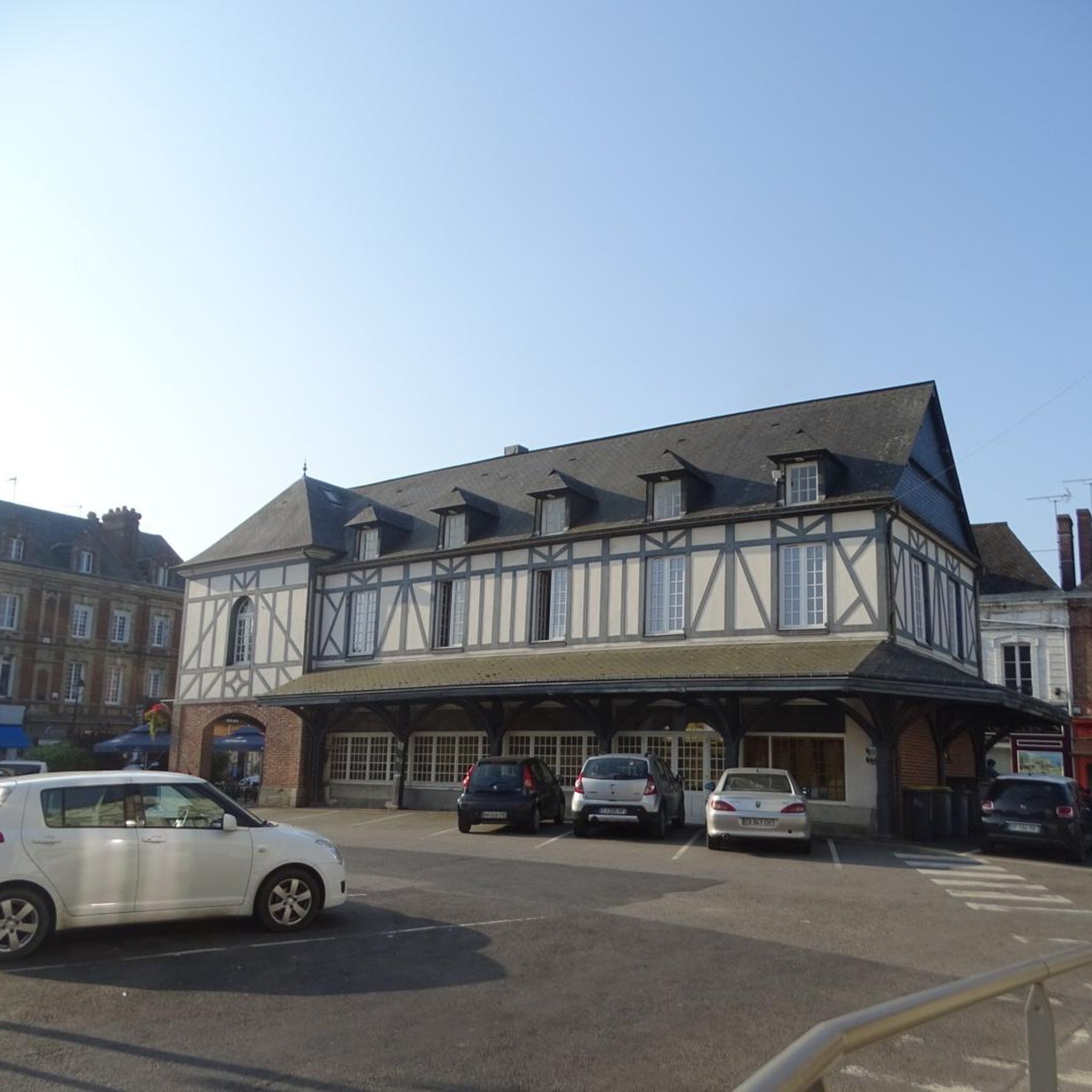
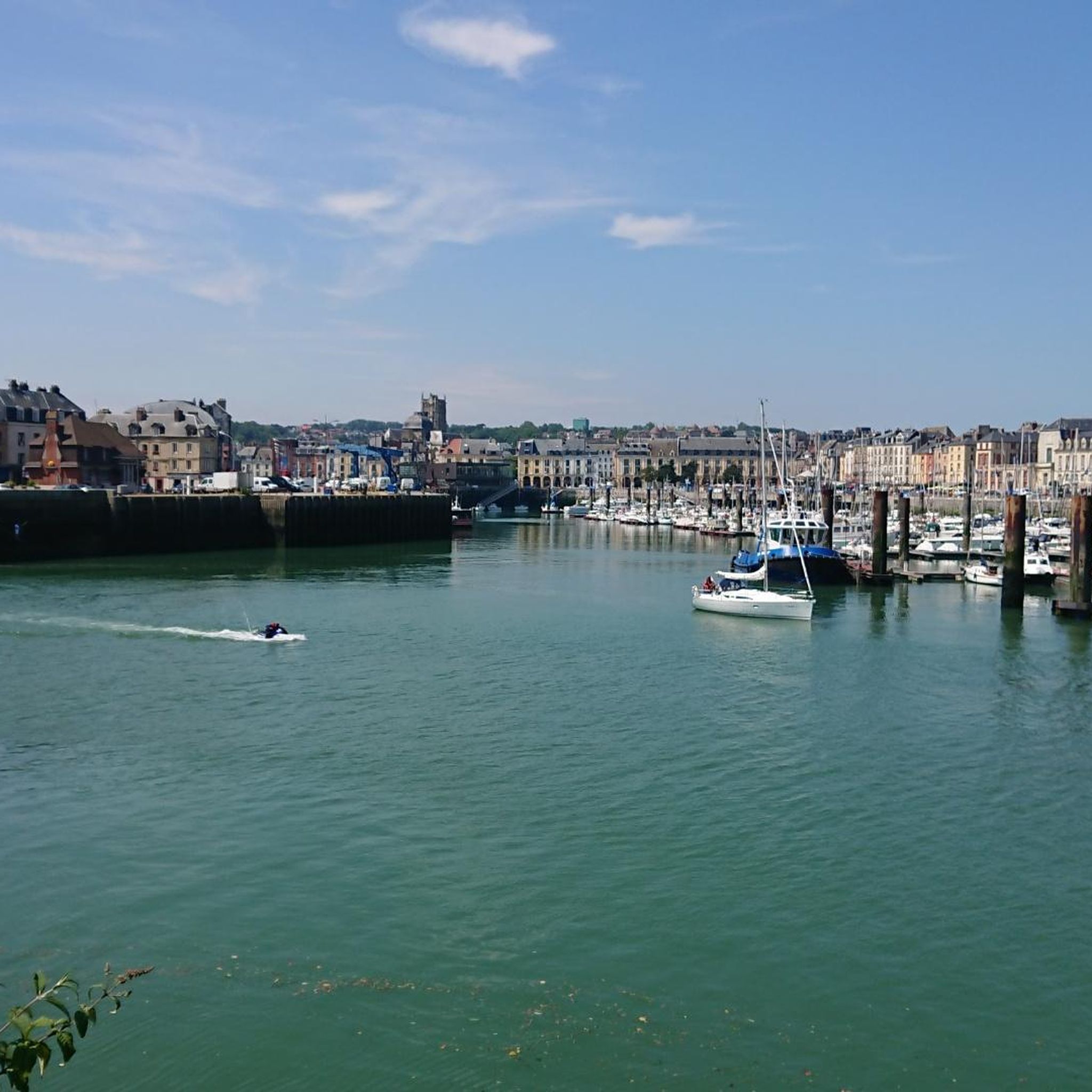
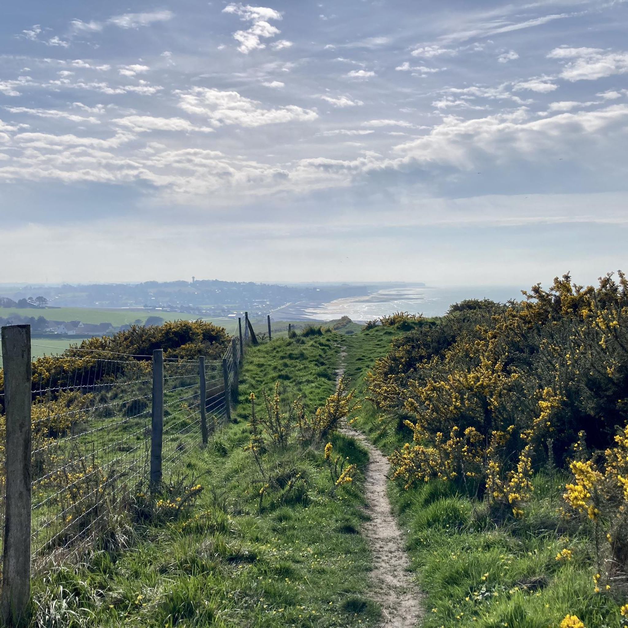

Tips from the Community

Chalk cliffs on the Hermansville driveway
1
0

Very beautiful church to discover..nearby picnic table in the shade to rest
0
0
Place of meditation
0
0
Frequently Asked Questions
How many hiking trails are available around Luneray?
Luneray and its surroundings offer a wide variety of hiking opportunities, with over 120 trails recorded on komoot. These range from easy strolls to more challenging routes, ensuring options for all fitness levels.
Are there easy hiking options suitable for beginners or families?
Yes, Luneray has numerous easy hiking options. Nearly 50 trails are classified as easy, perfect for beginners or families. An example is the Saâne Path. – Arthur Gregory O'Dea Memorial loop from Gueures, which is 3.0 miles (4.8 km) and leads through the scenic Saâne river valley.
Can I find circular hiking routes near Luneray?
Yes, many of the trails around Luneray are designed as circular routes. For instance, the popular Arthur Gregory O'Dea Memorial – Junction of Trail and Greenway loop from Luneray is a moderate 9.2-mile (14.8 km) loop, and the Le Grand Bois loop from Gueures offers a tranquil 7.5-mile (12.0 km) experience through wooded areas.
What kind of landscapes can I expect to see while hiking in Luneray?
The region around Luneray offers diverse landscapes. You'll encounter the dramatic white chalk cliffs of the Côte d'Albâtre along the English Channel, the rolling green fields of the Cauchoise countryside, and the verdant valleys of the Dun and Saâne rivers. There are also forested areas and agricultural lands, providing a varied hiking experience.
Are there any notable landmarks or attractions along the trails?
Yes, the area boasts several interesting landmarks and natural features. You can explore the charming village of Veules-les-Roses, known for The Veules River and its watermills, which is France's smallest river. Other highlights include the impressive Cliffs of Sotteville-sur-Mer Coastal Path, the Ailly Lighthouse, and the Cap d'Ailly Protected Natural Site.
Are the hiking trails around Luneray dog-friendly?
Many trails in the Luneray area are suitable for dogs, especially those inland through the countryside and woodlands. However, it's always recommended to keep dogs on a leash, particularly in agricultural areas or near livestock, and to check local signage for any specific restrictions, especially in protected coastal areas.
What is the best time of year to go hiking in Luneray?
The best time to hike in Luneray is generally from spring through autumn (April to October) when the weather is milder and the landscapes are vibrant. Summer offers longer daylight hours, but spring and autumn provide pleasant temperatures and fewer crowds. Coastal paths can be enjoyed year-round, but be mindful of wind and rain, especially in winter.
Is public transport available to access hiking trailheads?
While Luneray itself is a small village, public transport options to specific trailheads might be limited. It's advisable to check local bus schedules for connections to nearby towns or villages that serve as starting points for trails. Many hikers prefer to use personal vehicles to reach more remote trailheads.
Where can I find parking for hiking trails near Luneray?
Parking is generally available in Luneray village and in the surrounding towns and villages that serve as trail starting points. Look for designated parking areas near churches, town halls, or public spaces. For specific trailheads, roadside parking might be an option, but always ensure you are not obstructing access or private property.
What do other hikers say about the trails in Luneray?
The hiking trails in Luneray are highly rated by the komoot community, with an average score of 4.5 stars from over 1200 reviews. Hikers often praise the diverse scenery, from dramatic coastal cliffs to peaceful river valleys and charming countryside, as well as the well-maintained paths.
Are there any long-distance hiking routes in the Luneray area?
Yes, Luneray is situated within the Terroir de Caux, which is a hub for long-distance hiking. The area features three major Grande Randonnée (GR) routes, including the renowned GR®21, which traces the rugged Côte d'Albâtre. Other GR trails like the GR®210 and GR®212 also explore the nearby valleys. More information can be found on the local tourism website: Hiking on the GR.
Can I find trails that offer coastal views?
Absolutely. The region is famous for the Côte d'Albâtre (Alabaster Coast), characterized by its dramatic white chalk cliffs. Many trails, including sections of the GR®21, offer breathtaking panoramic views of the English Channel and the stunning coastline. The village of Veules-les-Roses also provides beautiful coastal vistas.
Are there any unique cultural walks in Luneray?
Luneray itself features 'sentes à paniers' – narrow, winding historical paths once used for transporting textiles. These offer a unique cultural and picturesque way to explore the village and its heritage, providing a glimpse into its past.
Are there any trails that pass by rivers or water features?
Yes, the inland areas around Luneray are characterized by the verdant valleys of the Dun and Saâne rivers. Trails like the Saâne Path. – Arthur Gregory O'Dea Memorial loop from Gueures follow these river valleys, offering tranquil walks alongside water features. The famous Veules River in Veules-les-Roses is also a notable water feature to explore.
Most popular attractions around Luneray

Get inspired with the komoot mobile app


Explore more
Browse the best Hikes in other regions.
