The best running trails around Gijounet
5.0
(2)
250
runners
29
runs
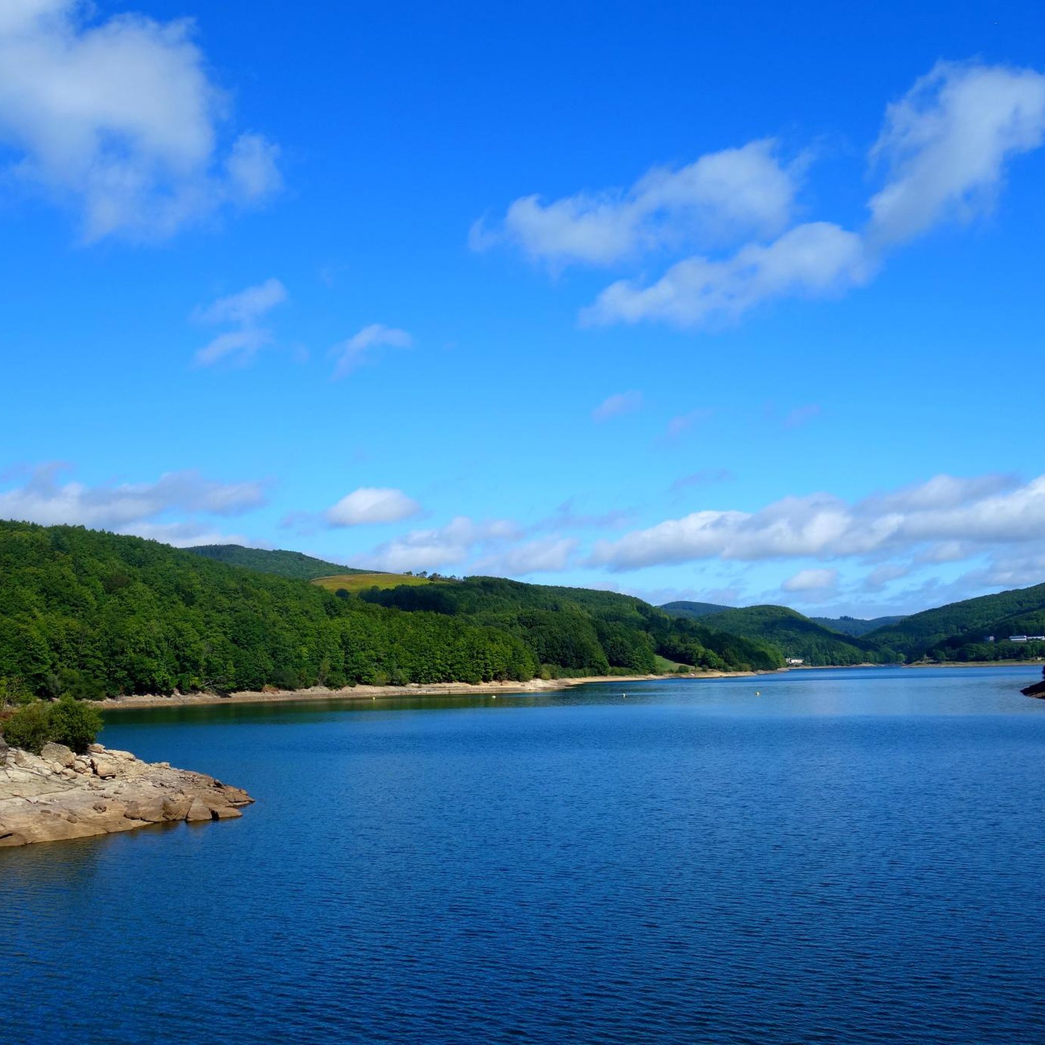
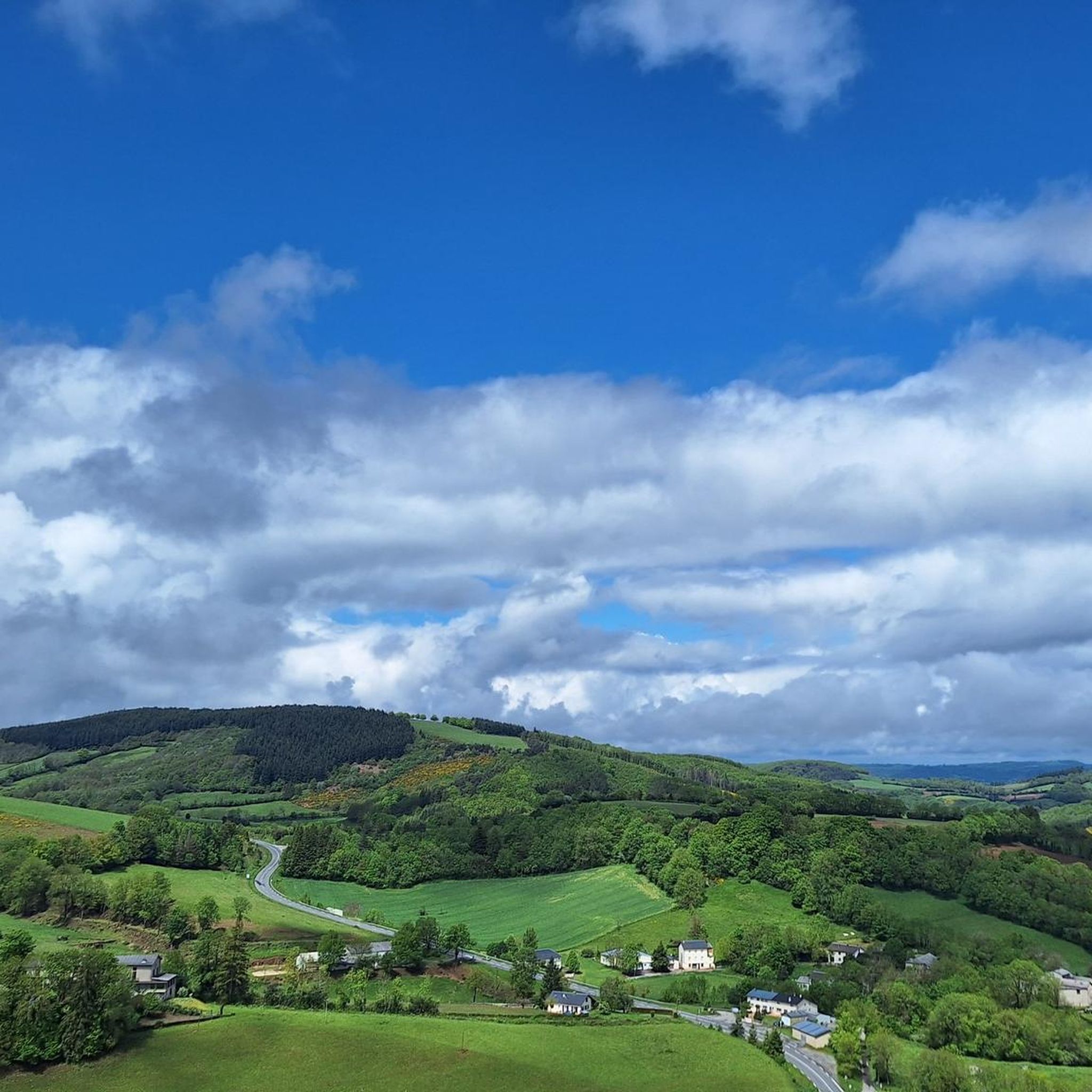
Jogging routes around Gijounet are set within the picturesque Gijou Valley, a Natura 2000 zone known for its ecological importance and preserved natural environment. The region features a varied topography of summits and valleys, providing dynamic inclines and descents for runners. From higher elevations, panoramic views can extend towards the Pyrenees on clear days. This area offers a network of trails through diverse landscapes, including river valleys and elevated plateaus.
Best jogging routes around Gijounet
- The most popular jogging route…
Last updated: June 29, 2026
10
runners
18.2km
02:18
530m
530m
Hard run. Very good fitness required. Mostly paved surfaces. Suitable for all skill levels.
5.0
(1)
68
runners
10.8km
01:23
300m
300m
Hard run. Very good fitness required. Mostly paved surfaces. Suitable for all skill levels.

Sign up for free
65
runners
23.6km
03:12
810m
810m
Hard run. Very good fitness required. Mostly accessible paths. Some sure footedness required.
11
runners
Moderate run. Good fitness required. Mostly paved surfaces. Suitable for all skill levels.
12
runners
7.95km
00:53
110m
110m
Moderate run. Good fitness required. Mostly paved surfaces. Suitable for all skill levels.
Get access to more routes and recommendations from other explorers.
Sign up for free
Already have an account?
Our route recommendations are based on thousands of hikes, rides, and runs completed by other people on komoot.
Start today with a free account
Your next adventure awaits.
Login or Signup
Tips from the Community

The Wild Child: In 1798, in the woods of La Bassine, hunters discovered a child potentially adopted by wolves and raised as one of their own.
0
0

The peak of Montalet, at 1259 meters, is one of the highest peaks of the Tarn (only surpassed by the puech de Montgrand and the puech de Rascas). The view of the south of the Massif Central from the Rocher de la Vierge is magnificent.
0
0
The Roc des Ecus at 1074m offers a magnificent belvedere allowing you to enjoy a beautiful view of Lacaune.
0
0
The Roc des Ecus is not the highest of the peaks but it offers a magnificent belvedere allowing you to enjoy in particular a beautiful view of Lacaune.
0
0
The peak of Montalet, at 1259 meters, is one of the highest peaks of the Tarn (only surpassed by the puech de Montgrand and the puech de Rascas). The view of the south of the Massif Central from the Rocher de la Vierge is magnificent.
1
0
Frequently Asked Questions
How many running routes are available around Gijounet?
There are over 25 running routes around Gijounet, offering a variety of experiences for different fitness levels. These include 17 moderate and 12 difficult trails.
What kind of scenery can I expect on the jogging routes in Gijounet?
Jogging routes in Gijounet traverse the picturesque Gijou Valley, a Natura 2000 zone known for its preserved natural environment. You'll experience varied topography with summits and valleys, offering dynamic inclines and descents. From higher points, such as the small plateau above Carayon, you can enjoy panoramic views that may stretch to the Pyrenees on clear days. The trails also pass through rich flora and fauna, and sometimes historic villages.
Are there running routes suitable for beginners or those looking for an easier jog?
While many routes offer moderate to difficult challenges, there are options with gentler elevation changes. For example, the Picotalen Pass loop from Réserve biologique dirigée de la Tourbière de Piquotalen is a moderate 4.9-mile (7.8 km) trail with diverse terrain suitable for a steady run. Another moderate option is the Château de Calmel loop from La Balmette, which features gentle elevation changes.
What are some of the more challenging running trails in the Gijounet area?
For those seeking a challenge, Gijounet offers several difficult routes. The Hautes-Terres d'Oc Regional Tour is an 11.3-mile (18.2 km) trail leading through varied landscapes. Another demanding option is the Lacaune – Montalet Peak loop from Lacaune, a 23.2 km route with significant elevation changes.
Are there any notable landmarks or attractions along the running trails near Gijounet?
Yes, the region offers several points of interest. You might encounter historic villages and hamlets of the Tarn department. Some routes pass near natural landmarks like Montalet Peak or Roc des Ecus. The town of Lacaune is also accessible via some longer routes, and the Old Bridge of Brassac is another nearby highlight.
Can I bring my dog on the running trails near Gijounet?
The Gijou Valley and surrounding areas are part of a Natura 2000 zone, indicating a preserved natural environment. While many trails are suitable for dogs, it's always recommended to keep them on a leash to protect local wildlife and ensure a pleasant experience for all users. Please check specific trail regulations if posted.
Are there circular running routes available in the Gijounet area?
Yes, many of the running routes around Gijounet are designed as loops, allowing you to start and finish at the same point. Examples include the Picotalen Pass loop and the Château de Calmel loop, both offering convenient circular paths.
What do other runners enjoy most about jogging in Gijounet?
The running routes in Gijounet are highly rated by the komoot community, with an average score of 5.0 stars. Runners often praise the diverse terrain, the immersive natural environment of the Gijou Valley, and the panoramic views from higher elevations. The well-documented trails through varied landscapes are also a significant draw.
Is public transport available to access the running routes, or is parking common?
While specific public transport options directly to every trailhead might be limited in this rural area, many routes are accessible by car. Parking is generally available near trailheads or in nearby villages like Lacaune. It's advisable to check the starting point of your chosen route for specific parking information.
What is the best time of year to go jogging in Gijounet?
Gijounet's varied topography and natural beauty make it enjoyable for jogging throughout much of the year. Spring and autumn offer pleasant temperatures and vibrant scenery. Summer can be warm, so early morning or late afternoon runs are recommended. Winter can be beautiful, but some higher or less maintained paths might be challenging due to weather conditions.
Are there any long-distance running options around Gijounet?
Yes, for those looking for longer runs, the region offers trails that extend over significant distances. The Hautes-Terres d'Oc Regional Tour, at 18.2 km, is a good example of a longer route. Additionally, the extensive network of hiking trails in the area can be adapted for longer running sessions.
Most popular attractions around Gijounet

Get inspired with the komoot mobile app


Explore more
Browse the best Running Trails & Routes in other regions.
